Hello friends. I hope you all are healthy and happy.
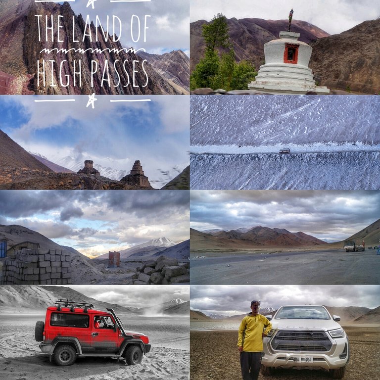
Friends, today I am going to share with you all some information about my journey from Keylong to Leh and the route.
[//]:# (!worldmappin 32.90710 lat 77.58127 long From Keylong to Leh: A Scenic Expedition Through the Himalayan Highways d3scr)
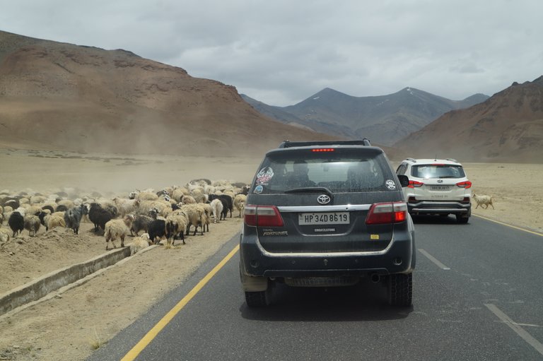
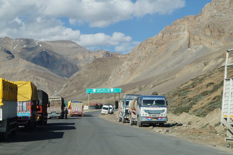
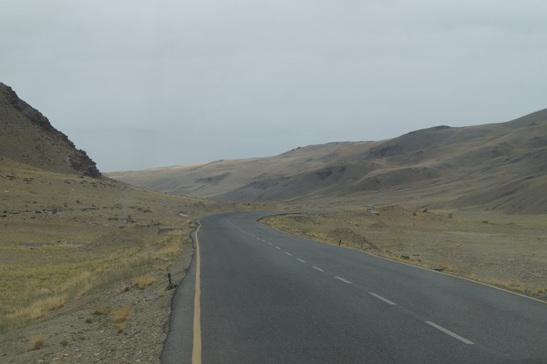
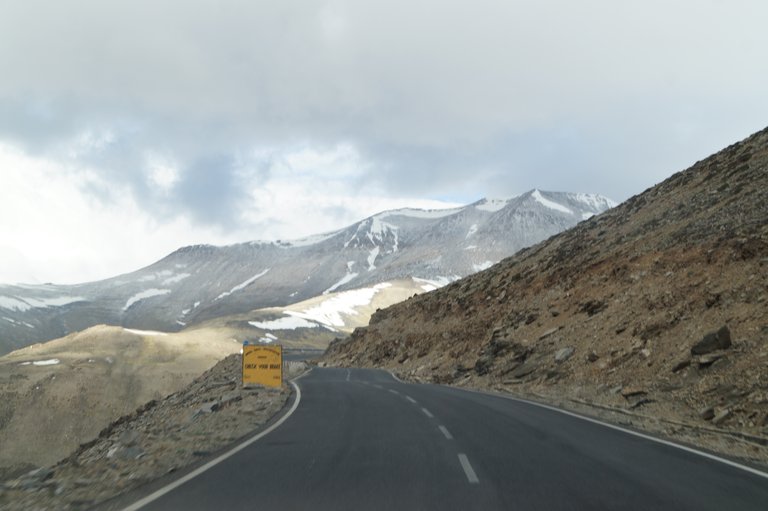
These days, while the plains are experiencing severe heat, the weather in Keylong is very pleasant. The tourist season is at its peak and there is a huge crowd on this highway.
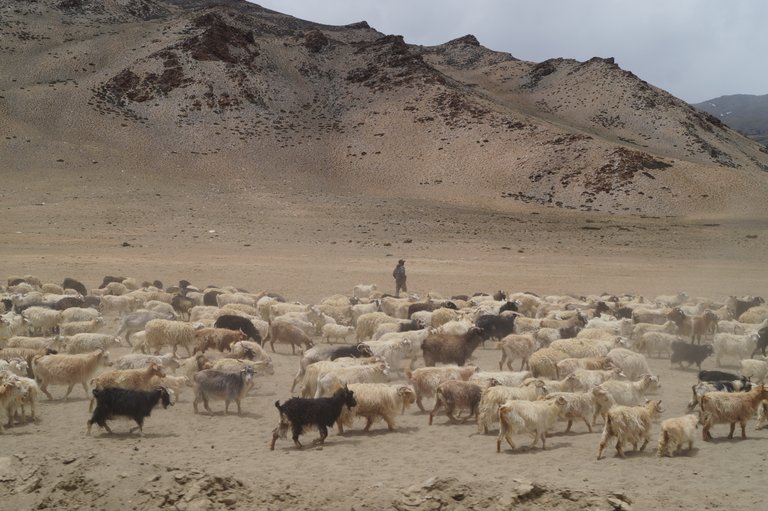
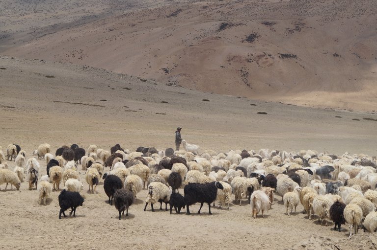
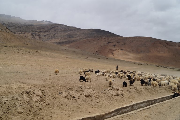
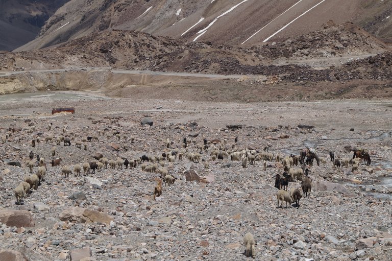
We started the journey from Keylong. On the way, we saw herds of sheep. It is summer season and sheep herders are heading towards the high mountains. After the snow melts, good and nutritious grass grows here, so they bring them here. If you come to visit the mountains these days, you will get to see such herds of sheep.
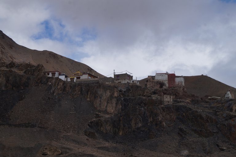
After this we reached Jispa. Jispa is a famous tourist spot of Lahaul valley. There are many campsites near the Bhaga river. Where you can enjoy these beautiful valleys and cold weather. Darcha is visible a little ahead of Jispa. Darcha is the last village of Lahaul valley. From Darcha we will now start climbing the Baralachala pass.
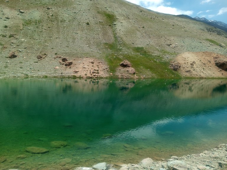
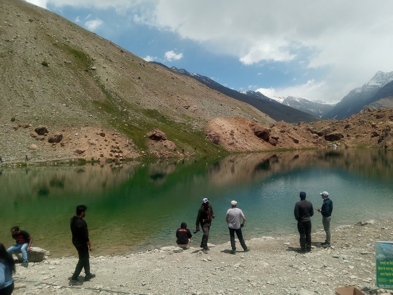
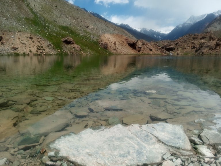
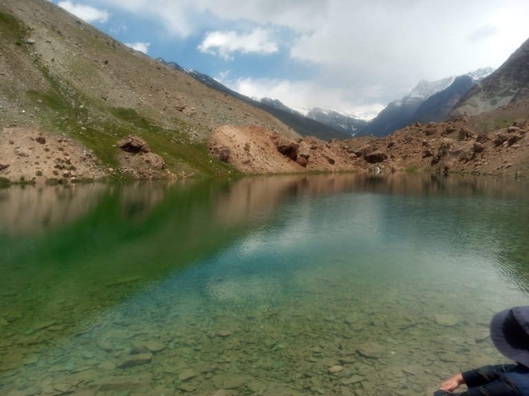
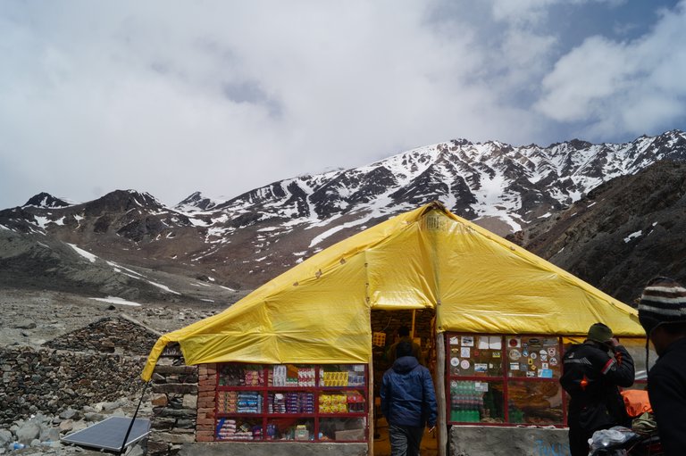
A little ahead comes Deepak Tal. Deepak Tal is a small lake near Petsio and there are beautiful views around. There are also some shops here where you can enjoy tea and Maggi.
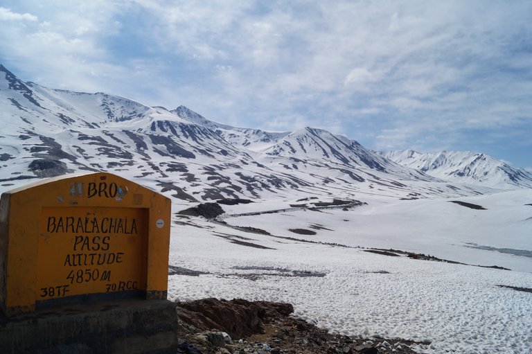
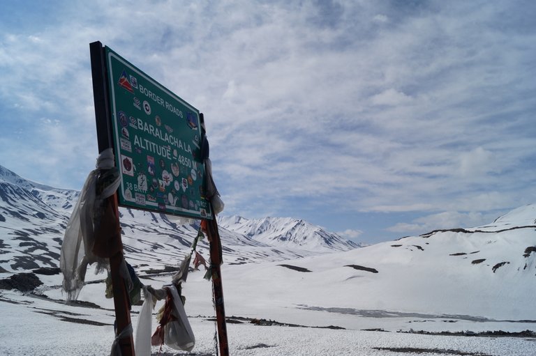
Ahead of Petsio comes Zing Zing Baar. Here is the settlement of BRO (Bordar Road Origination). As we are going higher, the snow is increasing outside. Now we have to climb up to Baralacha La situated at a height of 4850 meters and after that we will descend on the other side.
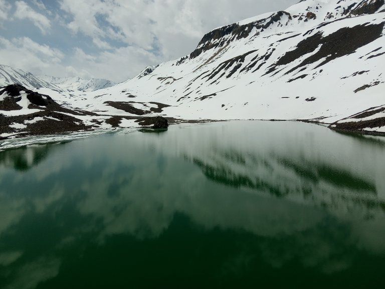
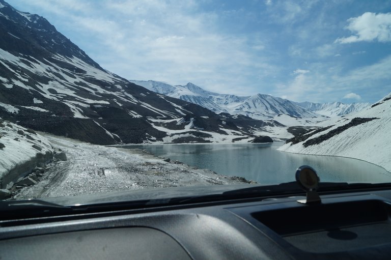
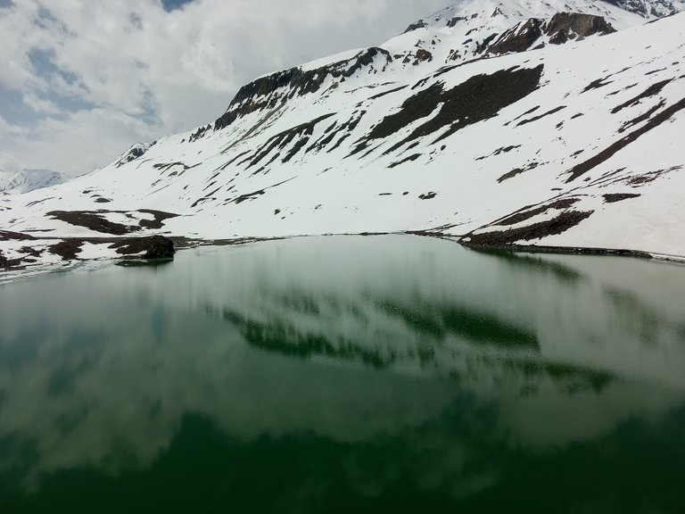
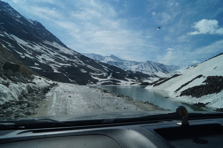
A little ahead we reach Suraj Tal. Suraj Tal is a natural lake formed in the beautiful hills of Baralacha. The Bhaga river starts from here. There is still snow here. Baralacha is about three kilometers ahead from here.
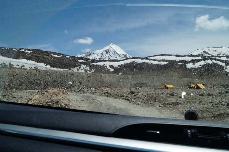
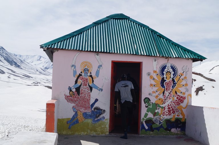
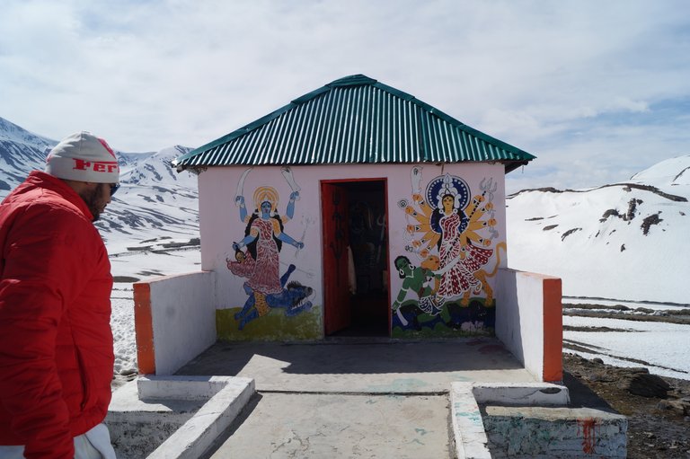
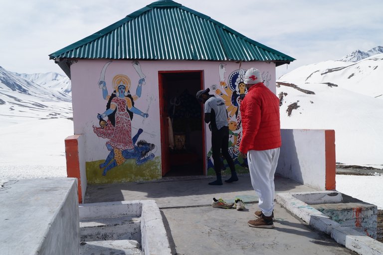
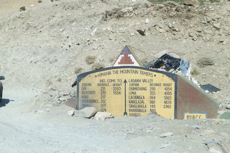
So we reached the 4850 meter Baralacha top. First of all, I pray to God in the small temple built here for a successful journey. It is very cold here due to snow. We take some pictures here and continue our journey.
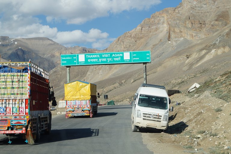
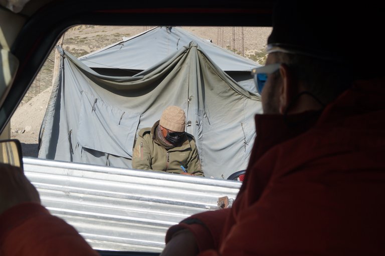
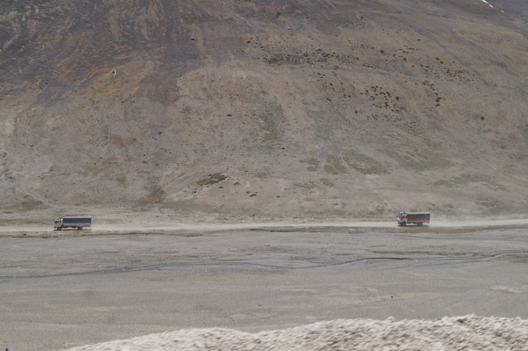
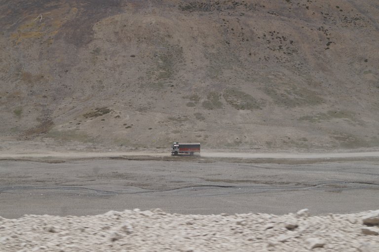
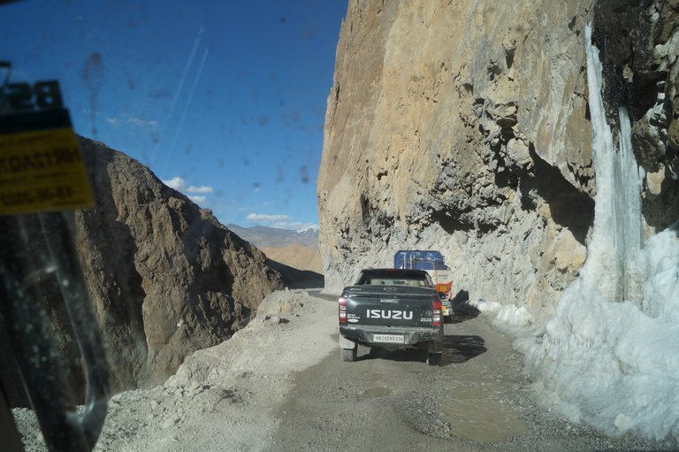
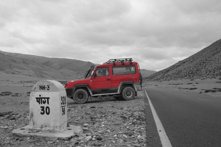
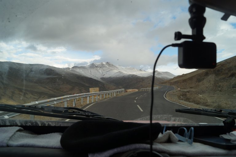
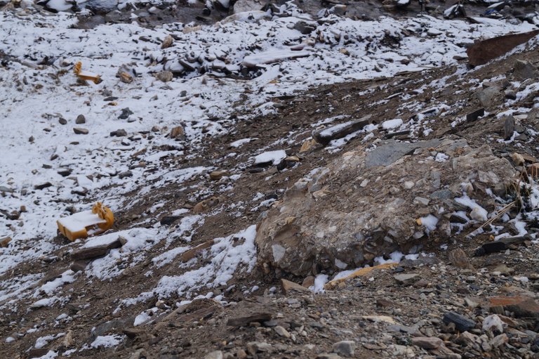
After Baralacha, the road is a little narrow and the path is a little bad. A little further we reach Bharatpur and stop there to eat. After filling our stomachs, we continue our journey. There is a descent ahead till Sarchu.After Sarchu, the Leh border will start.After descending Baralacha, we have now reached the plains of Sarchu. Sarchu is a main stop in the middle of the valley, many people also stay overnight here. The elevation here is around 4200 meters and it is also cold here. Some people also face oxygen problems here.
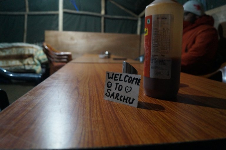
There is also a Himachal Police barrier in Sarchu. Vehicles going to Leh also enter here. We also get our vehicle entered and continue our journey.
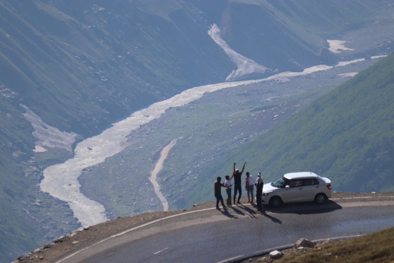
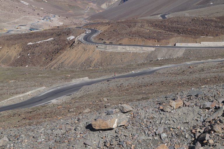
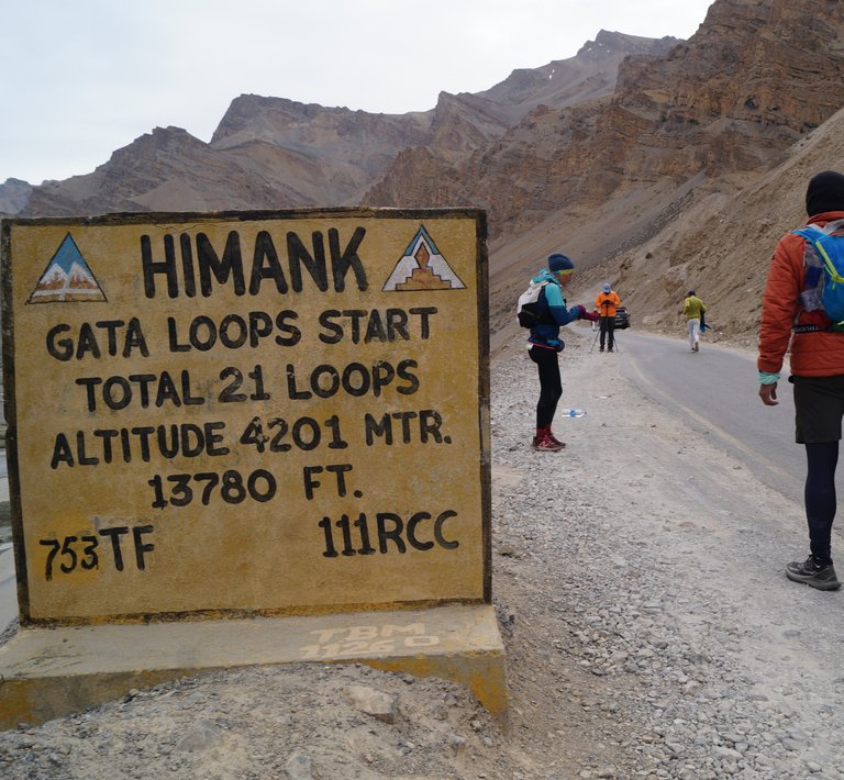
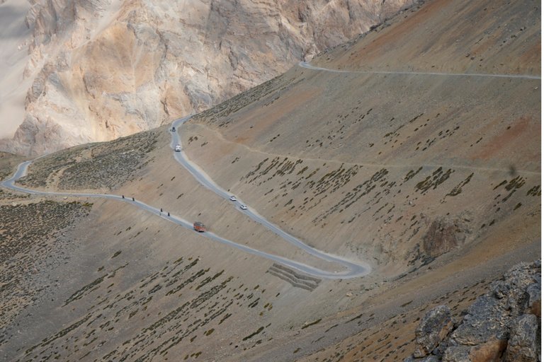
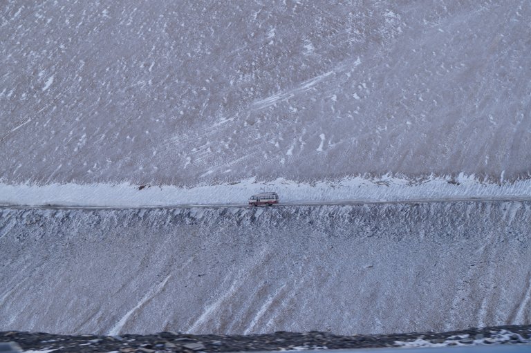
A little ahead of Sarchu, we reach Gata Loops. On this 10-kilometer loop, we will climb from 4000 meters to 4600 meters, i.e. we will gain an elevation of 400 meters. These loops are known for steep climbs and narrow turns. And beautiful views are visible all around.
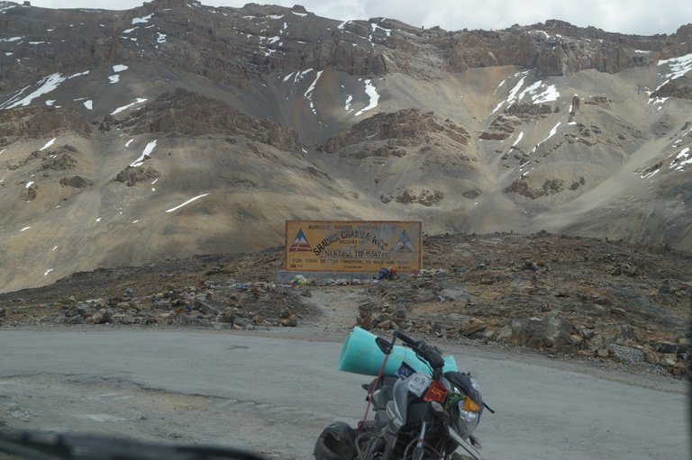
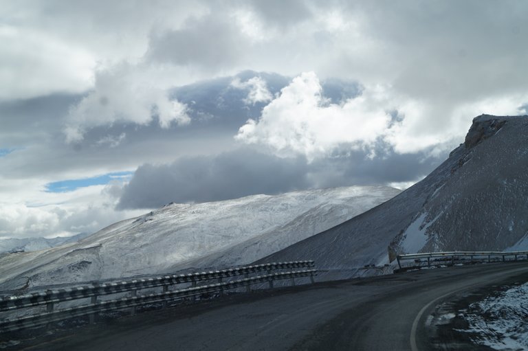
After climbing Gata Loops, we will reach Nakeela Top. Which is the third pass of this route. Nakeela Pass is at an altitude of 4738 meters. The wind is blowing very fast here. Without wasting much time here, we continue our journey.
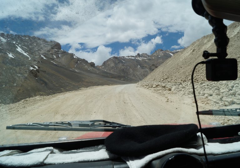
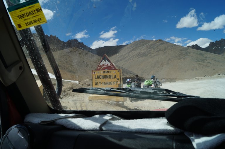
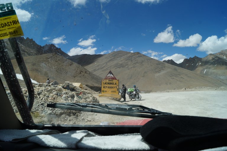
There is a descent ahead of Nakeela and now we are ready to climb the Lachungla Top. There are many shortcuts here and off-roading enthusiasts take the vehicle on the shortcut from below itself. Soon we reach Lachungla Top and from here we will descend towards Pang. There is a lot of dust on the road and there is no point in stopping here.
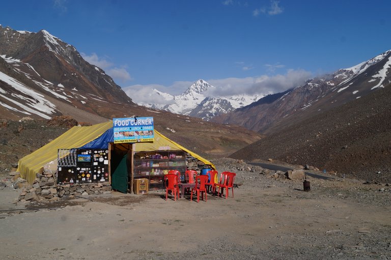
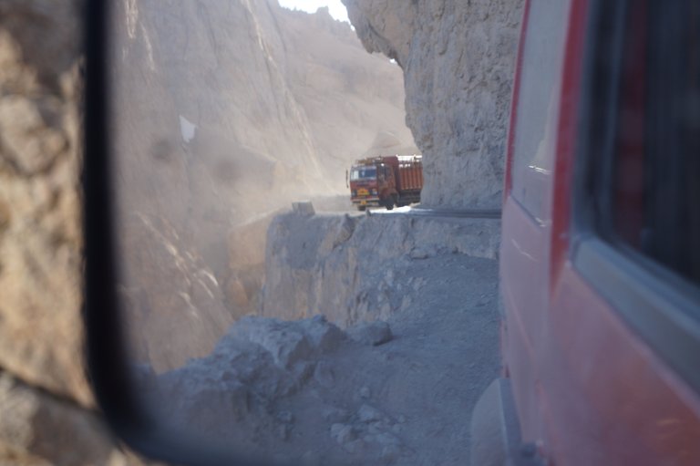
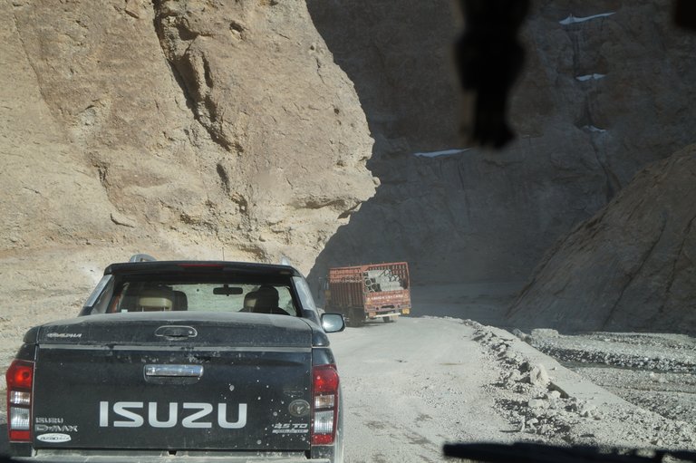
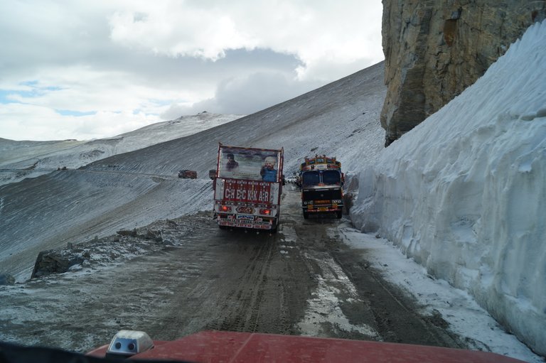
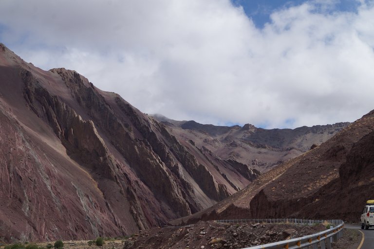
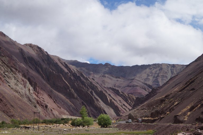
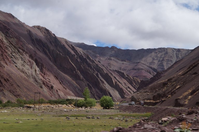
Before Pang, there is a narrow valley. Where there are steep rocks on one side and a ditch on the other side. In a short time we reach Pang through these narrow roads and stop there to eat.
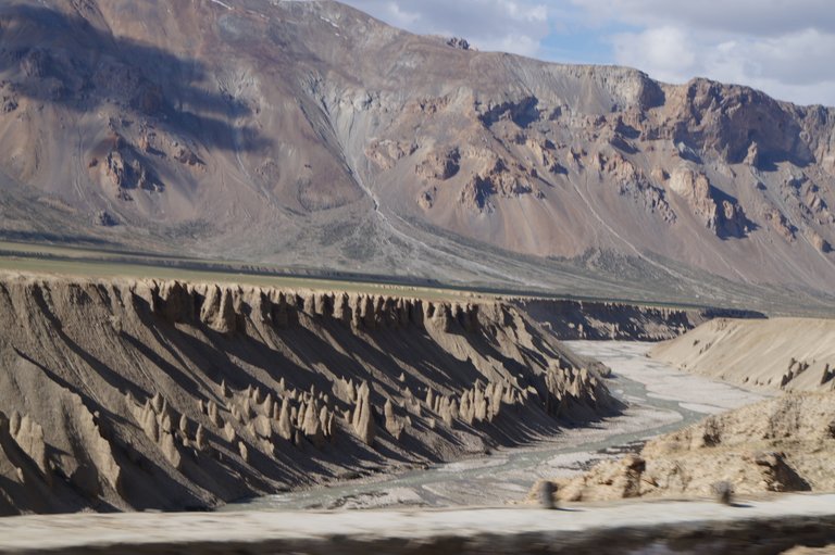
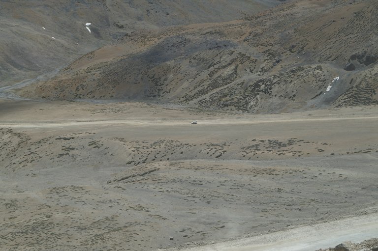
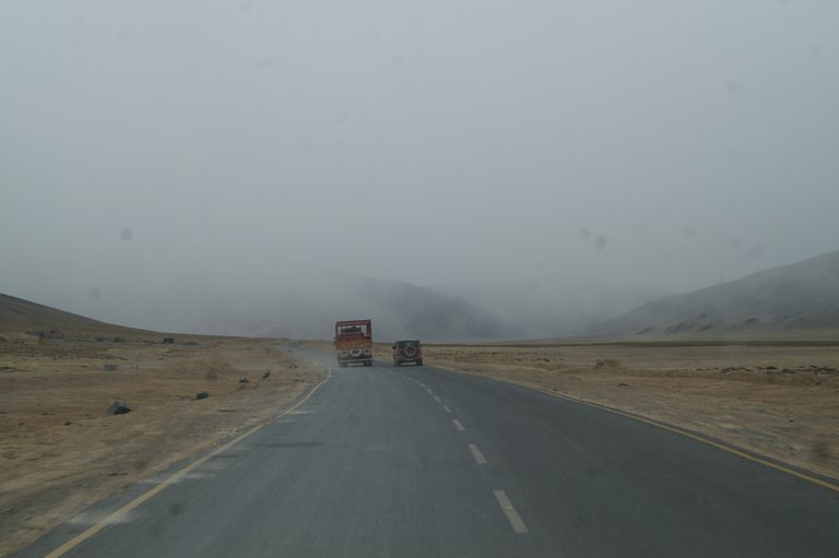
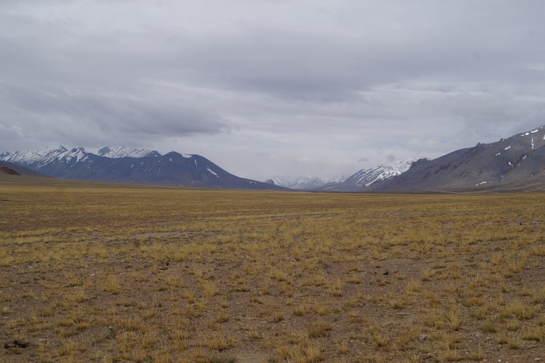
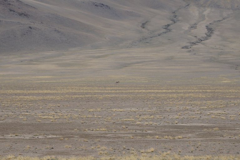
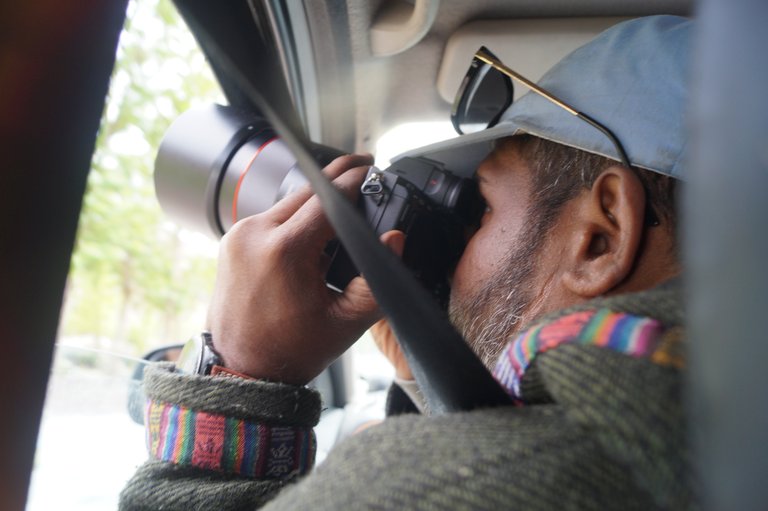
Without wasting much time, we move ahead because we had to cross Tanglang La Pass before evening. Where there is light snowfall.From Pang, we reach Mori Plain. This Mori Plain is surrounded by mountains and there is a very straight road in the middle which makes it interesting. This is a stretch of at least fifty kilometers. Here we also see a species of wild horse from a distance. Due to the long distance, its photo does not come out clearly.
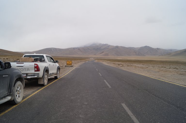
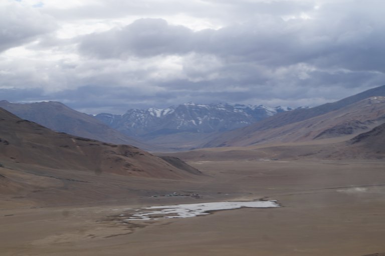
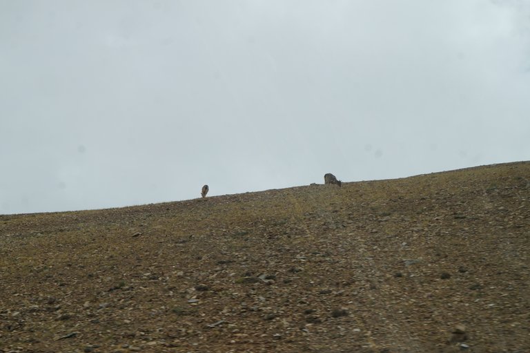
After this, the climb to Tanglang La Pass starts. Due to fresh snowfall, it is also very cold here. This pass is at an altitude of 5328 meters. There is also a small temple here where the travelers pray for their further journey. The winds here are so strong and cold that we don't stay there for long. We take some pictures here and move ahead. While descending from the pass, we see rats here and further ahead we also see some blue sheep. Now there is a descent to Leh. There is snow here all the time, due to which the road is a bit bad. As we are coming down, the snow is also ending. After a few hours we reach Leh. The journey is long, we are tired and take a room in a nearby hotel and rest.

I hope you all liked the journey from Keylong to Leh. You too should plan to come here soon and enjoy the thrilling journey of this highway.
Thank you.
Disclaimer: This post is originally written in Hindi by me and I have taken the help of Google Translate to translate it into English.
I have also posted some of these pictures on my Instagram account.