Ponta do Arnel is on the Azores island, but I also have a house that is close to the emblematic place.
Noroeste is a calm place, without the hustle and bustle of the center, quite peaceful and also far from the airport as the journey was by car and it is almost an hour from the city.
Despite being a more secluded place on the island, it is where we can observe true nature in its entirety.
As it was close to the house (rented) I didn't need to use the car, I took my backpack and went to the place, from home it took me about 10 minutes, as I got closer to the place I started to see some warnings about dangerous descents by cars, and that was you see it wasn't a problem.
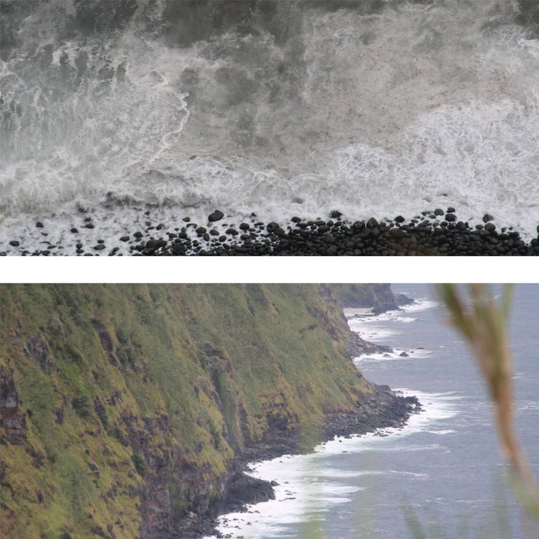
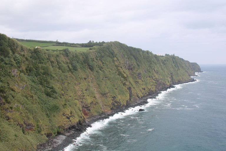
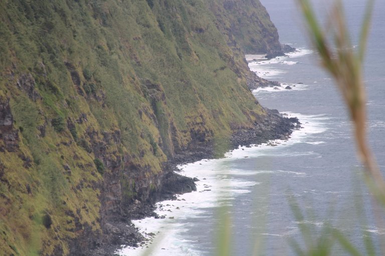
We found some places where we could see the altitude of the land in relation to the sea, I don't know for sure, but it's certainly much more than 100 meters high.
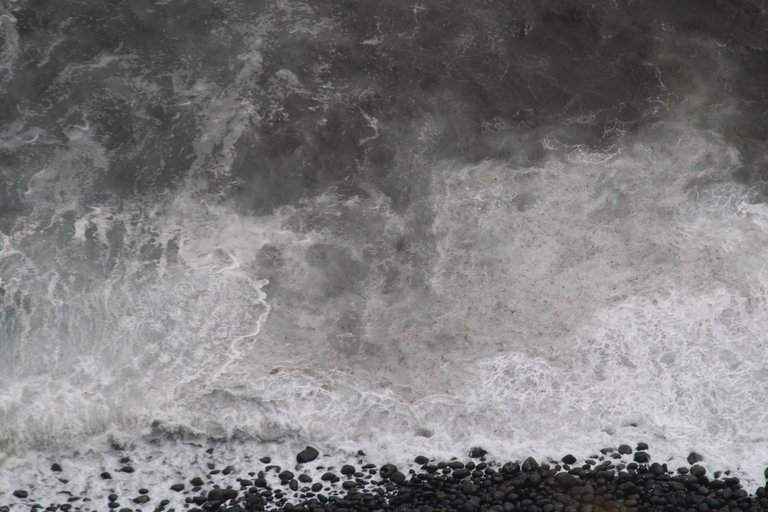
I was enchanted by the altitude and immediately started taking photos. I love the contrast between the black of the volcanic stone and the green of the cliffs and the blue of the Atlantic Ocean.
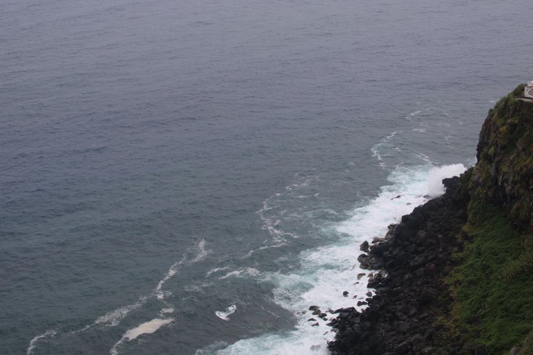
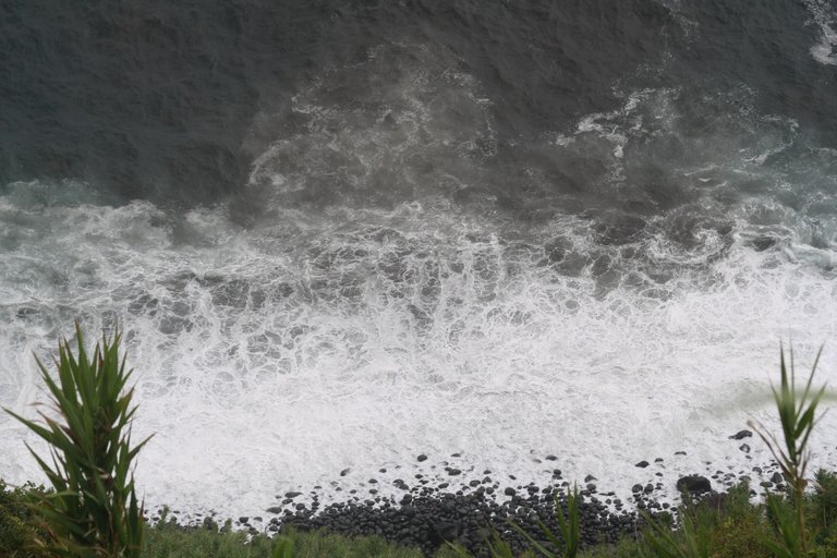
Photo goes photo comes and soon I come face to face with the famous “happy cows” because with a view like that and such a green pasture beyond the open air, if these cows don't have animal welfare checks, they can't do any of this :)
Azores and known for excellent milk and animal meat
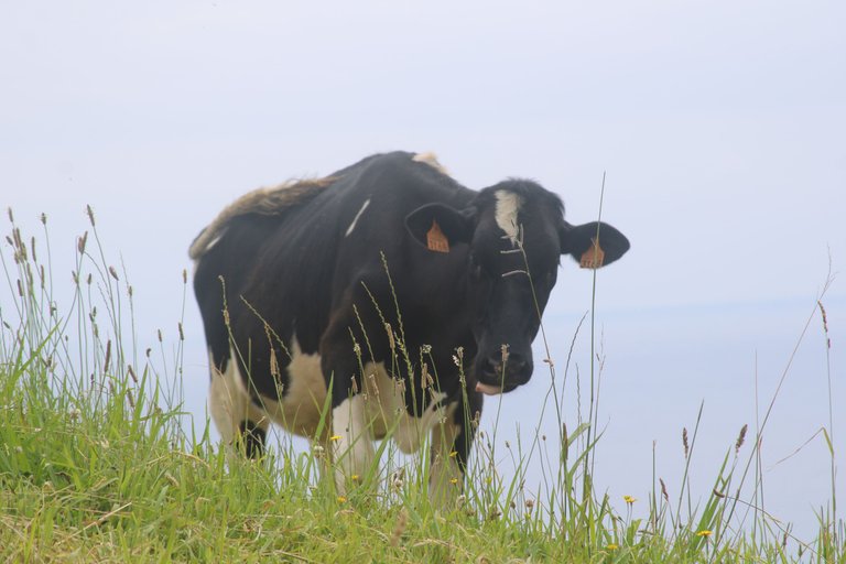
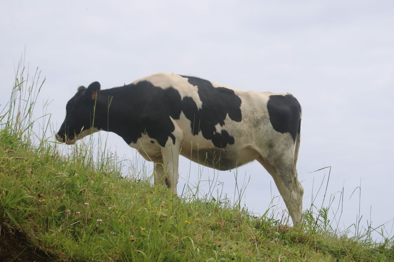
The cow is a very curious animal, and ends up being quite photogenic, however there is no type of fence or enclosure when they approach, but I end up being a little “fearful”.
They don't do any harm but their close appearance becomes an imaginable grandeur, especially when they come face to face with us, simply standing and looking, it seems like they are waiting to attack us "as is obviously just my imagination"
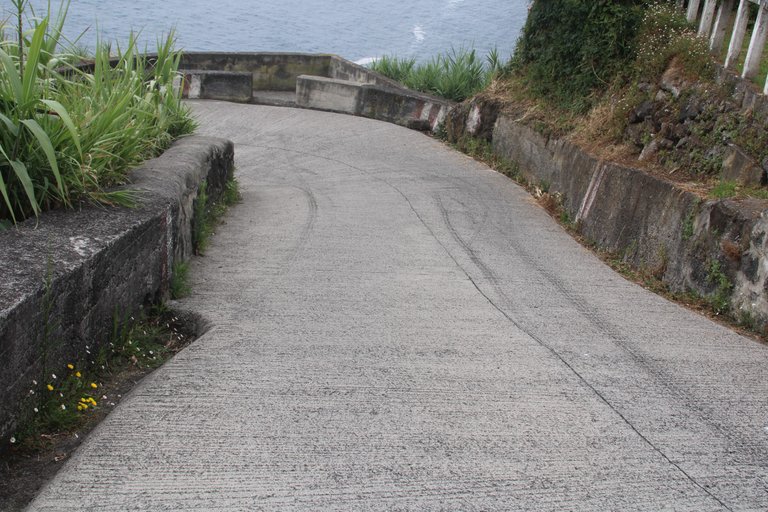 The descent is steep as you would expect and as we can see it is easy to see why before the descent there was a reservation about the descent of the cars, if it weren't for the tire marks on the ground.
I was still at the beginning of the descent and thinking how I was going to climb everything as quickly as possible because there was a lot more to visit and half of those forces would stay in that section of about 1km that goes down to the lighthouse.
As we descended, we had openings between the sugarcane fields and denser vegetation that allowed us to observe in detail what surrounded us from a “sea and land” perspective.
Already at the tip of the curve it was possible to see the tip of the lighthouse, which is the objective
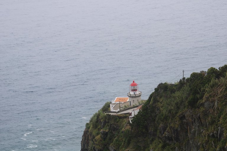
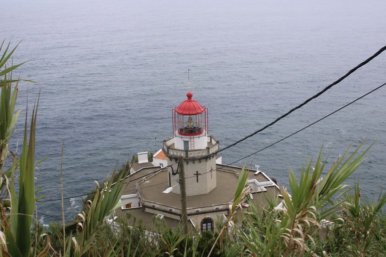
The lighthouse is the oldest on the island of São Miguel, built at a time when navigation was crucial and opened in 1876, mainly to ensure the safety of navigators in the treacherous waters of the Altantico.
The lighthouse itself is stupendous not only for its age but also for its state of conservation.
white cylindrical tower with red details and its window with lamp, which stands out against the bluish colors of the ocean
All photos were taken with Canon 2000D 18/135 lens
I hope you like it, thanks for reading