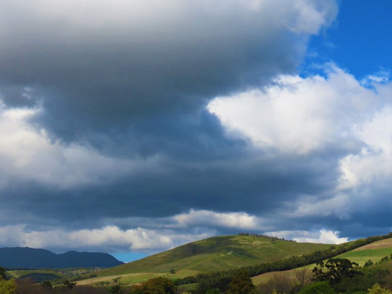
I am an inquisitive guy and searched until I found the origin of the storm.
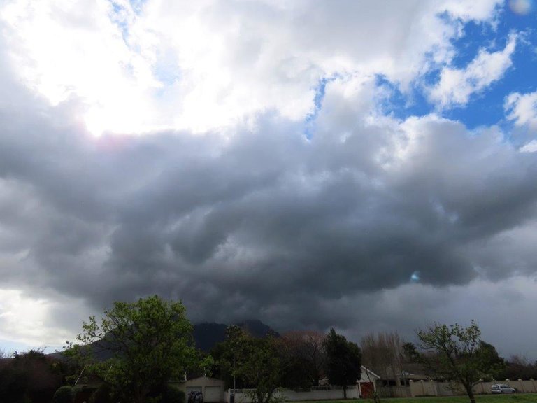
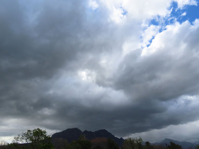
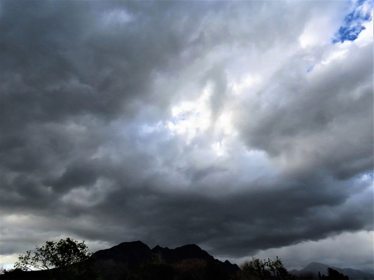
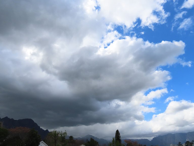
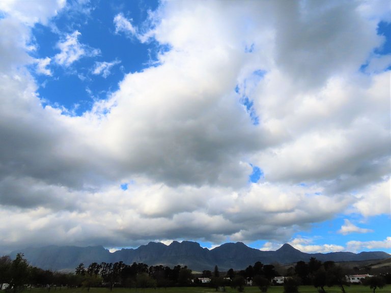
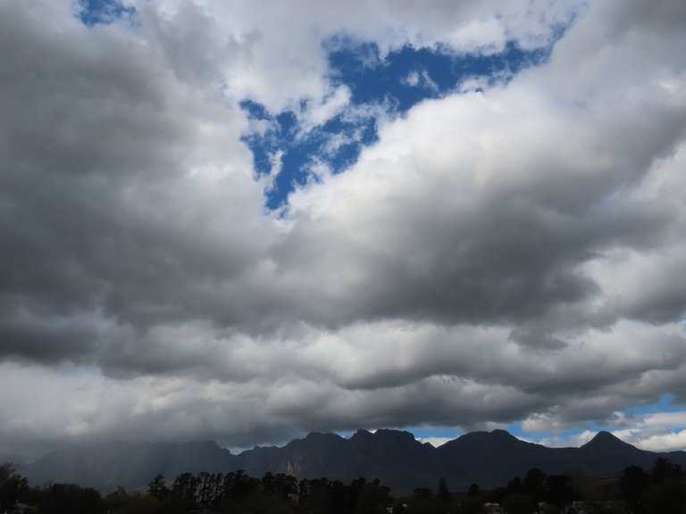
The first three photos will show you the start of the storm and then I will show you how the storm clouds spread over the mountain range.
The single mountain in the first three photos is at the end of the mountain range, and the clouds swung away from it towards the right. From there the mountain range runs right around the bay and ends in the sea.
It is always exciting to discover the start of a storm and we were warned by the weatherman to expect a storm, so I was waiting for it.
Come and see.
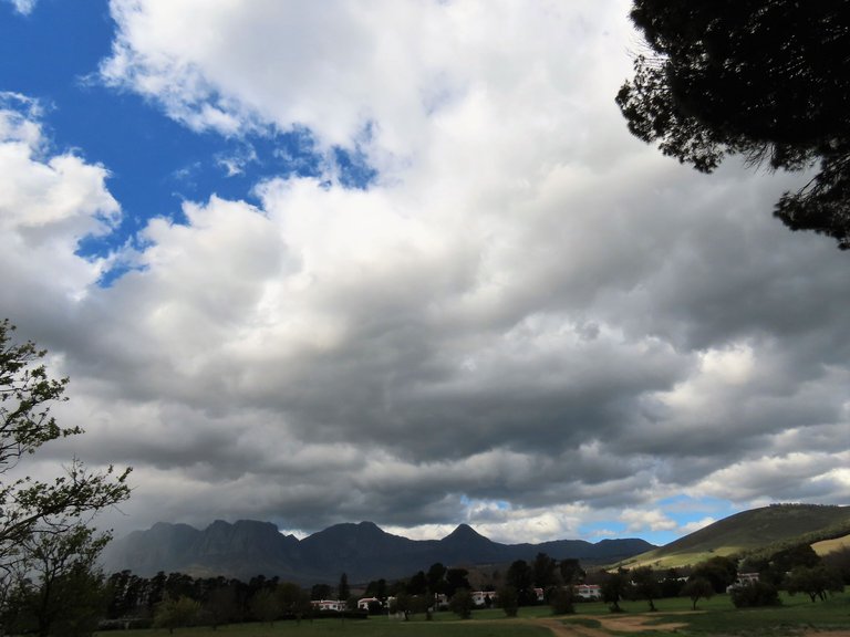
Here you can see that the clouds were starting to spread towards the right in the direction of the mountain range.
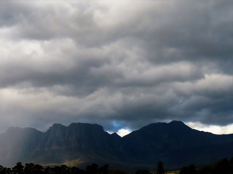
Ever so gradually it started to cover the mountain range.
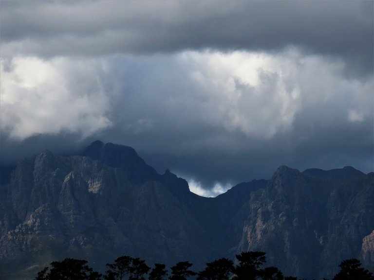
A closer look at the peaks and the rain had not started yet.
Right around it went and then started to come in over the town.
Another secret about that single mountain is that we get a very hot wind flowing over it occasionally during winter. They call it the Berg Wind and let me tell you that it feels like summer when one steps out of the house at night. Right in the middle of the cold winter season. They reckon that it is a hot dry wind called a katabatic wind and it comes from a high central plateau to the coast.
Nature is such a wonderful font of mysterious events that one could never unravel all of its secrets. But of course, as mankind we are more interested in its destruction to make way for our developments. A new study was released today and the finding is that we have lost a quarter of bird species between 1970-2022. Frightening methinks.
Let's all try to protect nature as much as we can.
I hope that you enjoyed the pictures and the story.
And That's All Friends.
Photos by Zac Smith-All Rights Reserved.
Camera: Canon Powershot SX70HS Bridge camera.
Thank you kindly for supporting a post on behalf of @papilloncharity
