Source: pixabay.com
Mining as an economic activity requires studies that guarantee its profitability and exploitation in an adequate and safe manner. Mining work has evolved from the first ways of doing it where rudimentary search began without any planning, causing great damage and environmental consequences. Nowadays with the support of technologies this economic activity has modified almost all its processes and one of the most important is the topographic survey, this is the starting point because it determines the exact place where to begin the exploitation of the mineral without affecting other areas, hence the importance of its determination.
Source: youtu.be

Source: pixabay.com
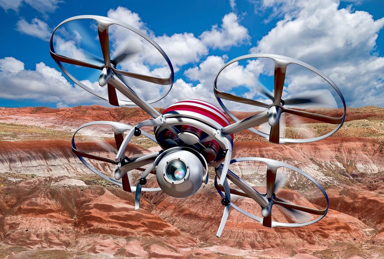
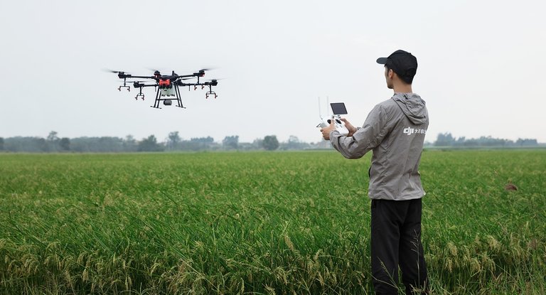
In what refers to photometry is the photographs that are taken by the Drone at the same point on the ground but from different angles, the objective is to generate detailed maps in 2D and 3D. Among the benefits of the use of the Drone are that it reduces the time in the field by the personnel and the expense in the costs of the topographic survey, it provides precise and exhaustive data of areas that in other times were inaccessible for the professionals, it reduces the risk in the projection and execution of the tasks.

Source: pixabay.com
Specifically in mining, the use of drones generates volumetric information in an integral way and with millions of measurement points, which provides precision and quality to the established measurement. It reduces the number of people covering the measurement areas, the applications of Pix4Dmapper and Surpac are applicable to the entire mining sector. Open pit mine points are established with accurate borehole data. These are just some of the benefits that are already being experienced in the mining sector with the support of drones and one of the most important is the use of this technology is allowing to reduce the risk and exposure of human beings to the risks of work in the mining sector. Thank you very much for your attention, I hope you liked the information.

