Hello friends and Hivians. I hope all is going well. Today I share a walk I took this past Friday. I must say I had quite the adventure on this walk. Unfortunately towards the end I had some bad happenings but nothing that causes concern. It was actually my third stop after visiting a lake first thing and checking out a park nearby which was also off the river. So today I will share my walk with some pictures and participate in the #wednesdaywalk initiative hosted by @tattoodjay.
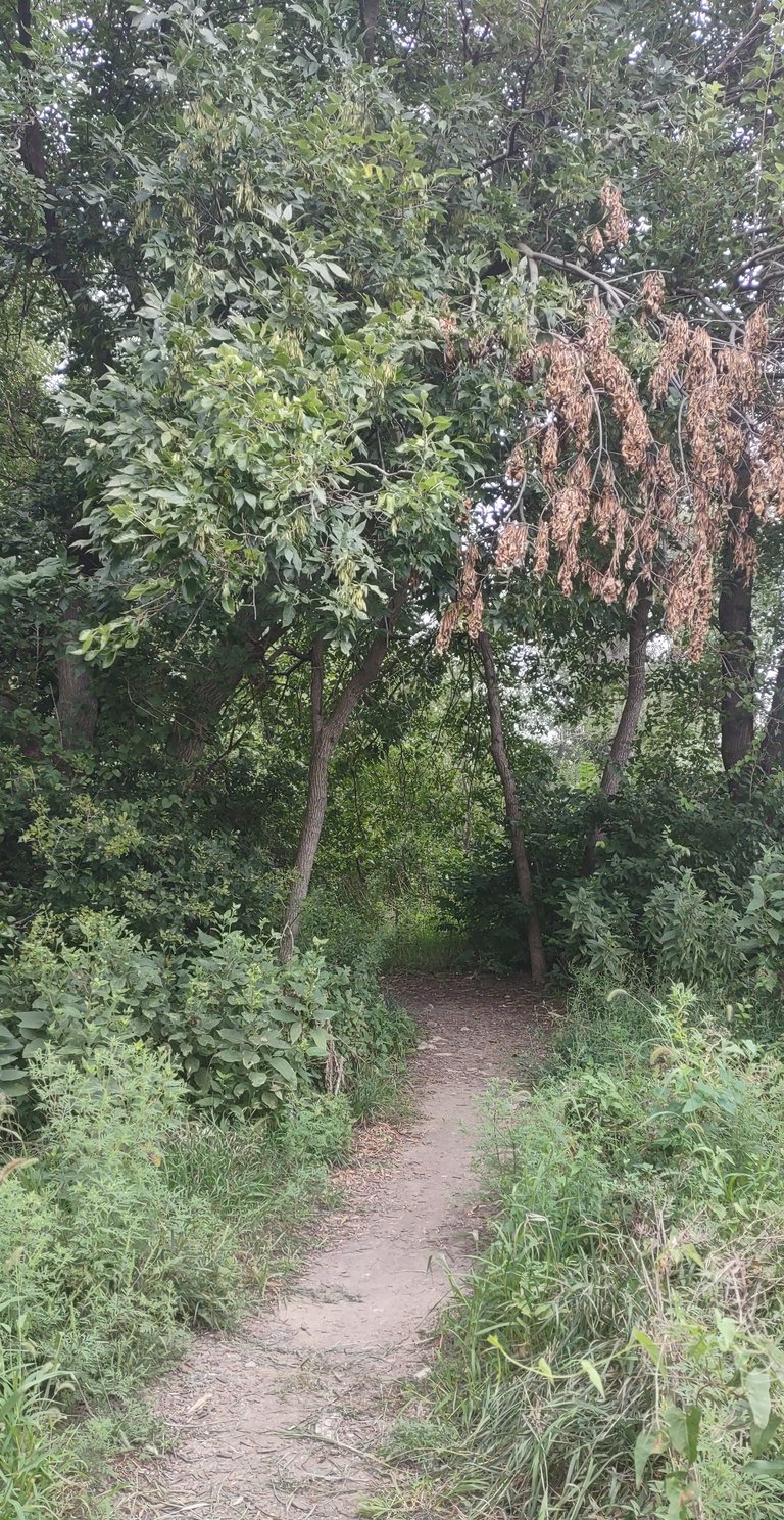
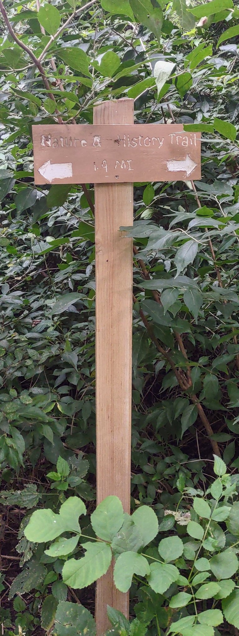
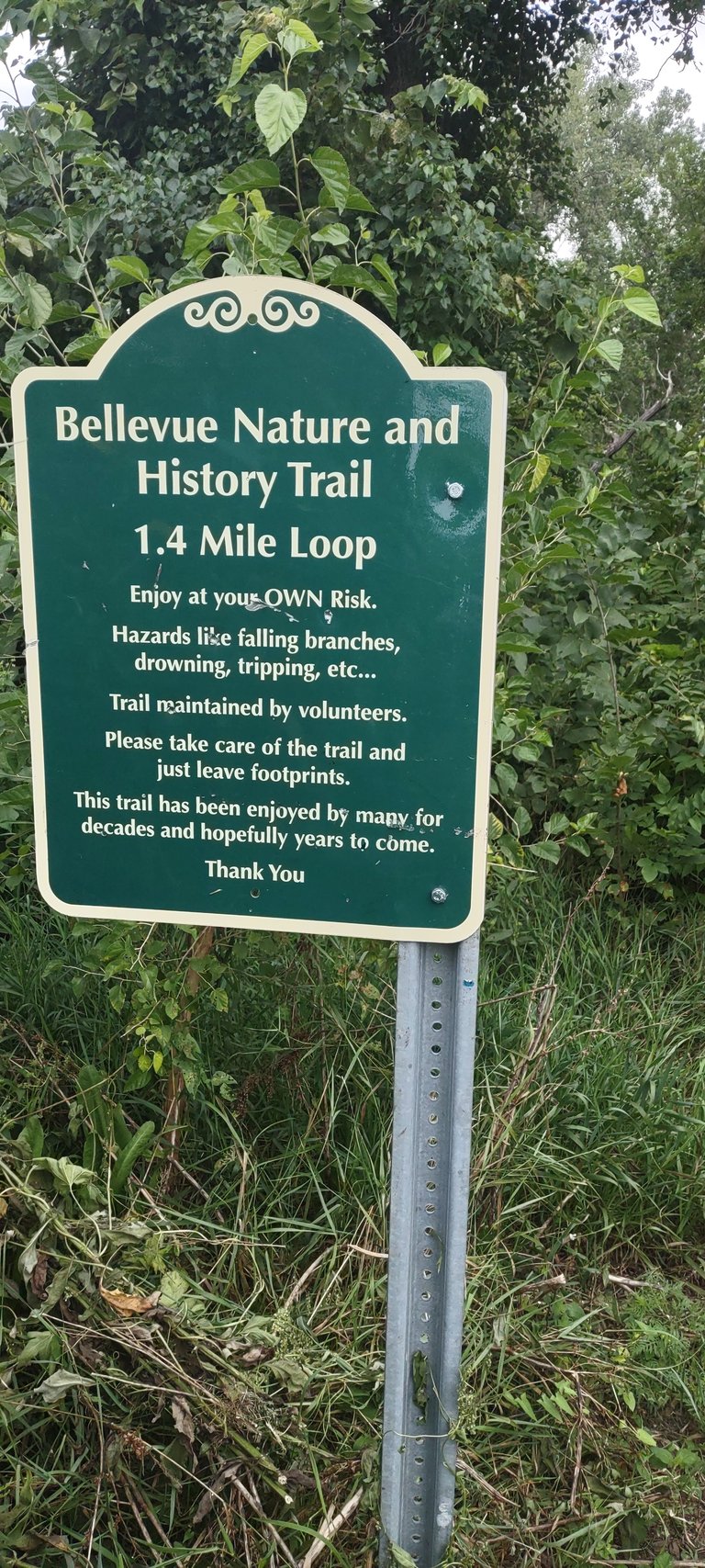
I discovered this trail two weeks ago on a Wednesday when I visited American Heroes Park in Bellevue, Nebraska. The first few steps onto the trail it forked. I decided to take the trail to the right since it was in the direction of the river.
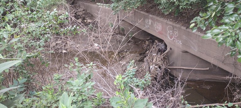
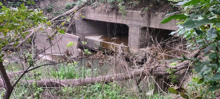
Just a few steps ahead I ran into a fairly old looking culvert. There wasn't a lot of water built up there but it was nice seeing it. Just ahead on the trail I seen the other side of it.
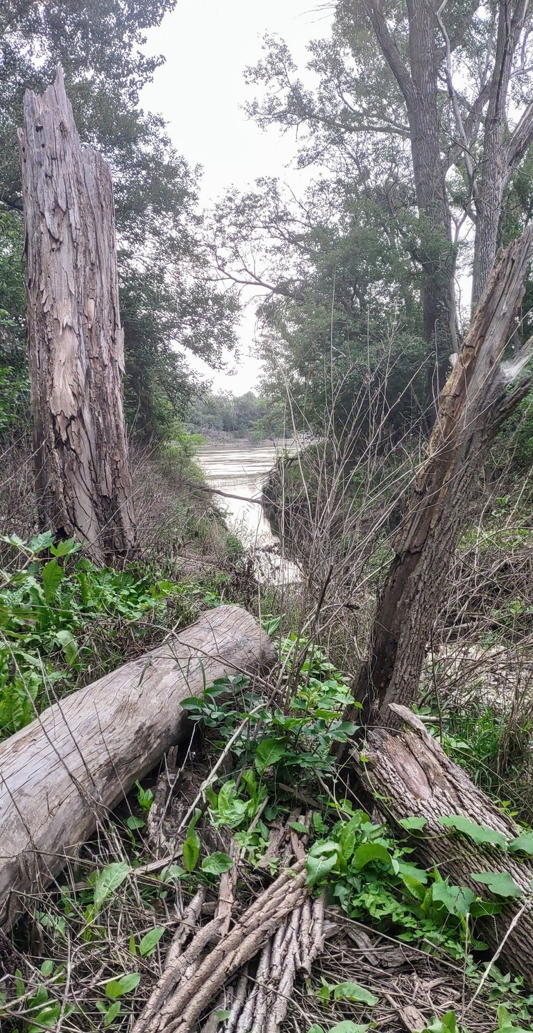
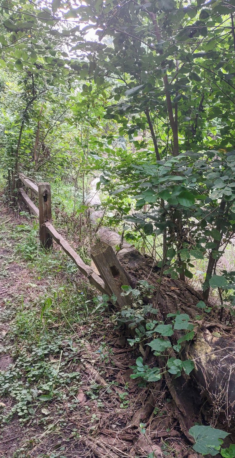
It wasn't surprising to know where the water source was coming from. If one wanted to you could walk along a downed tree to get down to the waterway slough. I decided to take it on and walked down most of it. A little balancing act was required but it was neat to see a little more. Some areas were slippery and areas that had bark on the tree were not exactly wrapped all around the tree. Now I didn't take any photos because I didn't want to fall off the tree and land in mud, haha.
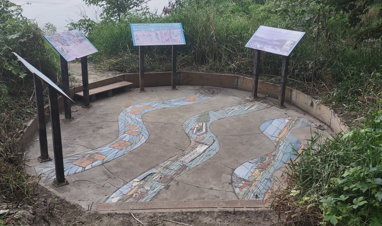
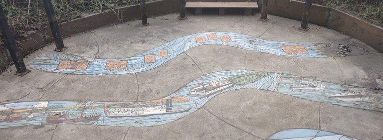

A little bit further down the path I ran into information section on the history of the area. This one talked about how the river once was and how it basically became a water highway. The river use to be much wider than what it is today. Also there were fewer bends and the current was much slower. This is because of damns which caused the river to become narrowly channelized.
The history of the river becoming a traveling waterway was interesting. The first to use it were the Native Americans and they used canoes for many centuries. Later on Keel boats were used by traders and explorers. The Lewis & Clark expeditions were the first to use Keel boats on the Missouri River. Prior to todays watercraft larger steam boats occupied the river. The murals on the stone floor of this exhibit were great to look at.
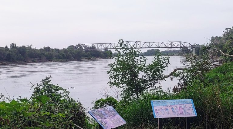
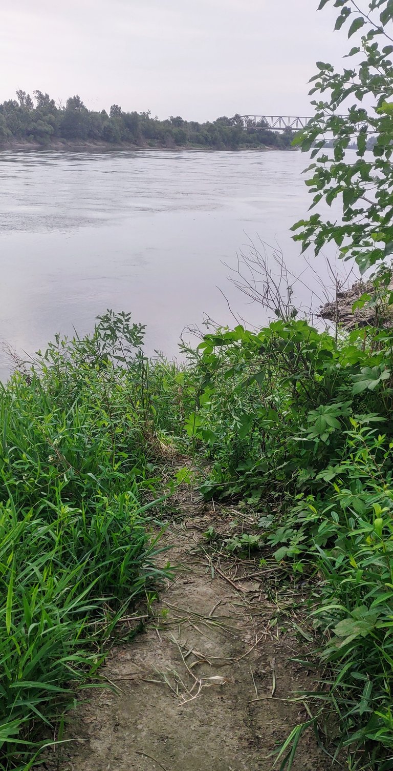
This location also marks the spot where you can see and gain access to the river. It's also the mouth of that slough I shared earlier. I have always enjoyed looking at this river, it's just something about it's pure power and mystique. It never disappoints my eyes and my imagination of what it was like hundreds of years ago.
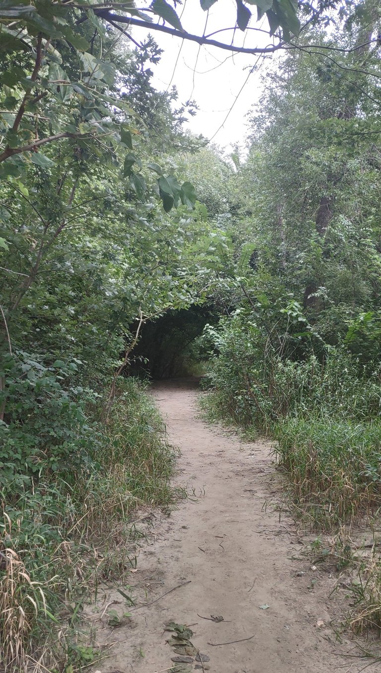
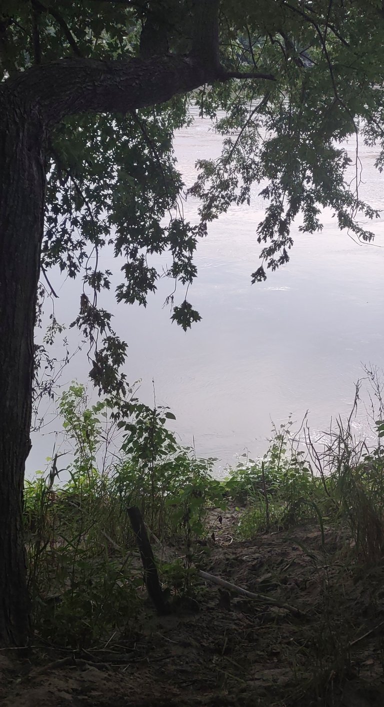
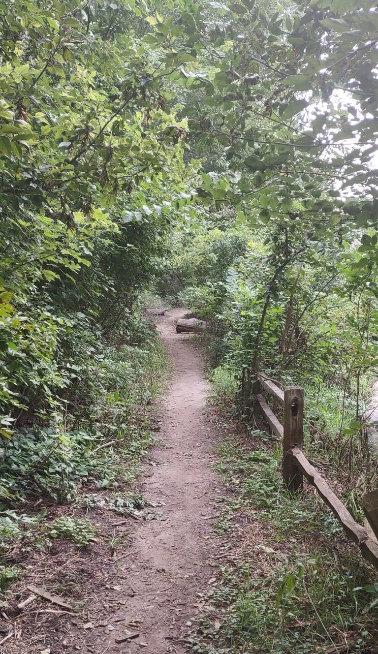
Walking some more along the trail I came across a tunnel formed by many branches. My first thoughts was this a portal to another place or world ? Once I entered it was dark and had a very much enclosed feel to it. It was an area that extended a good 150 feet. I started to notice some alien type growth in there and it continued once I exited into another area with more light.
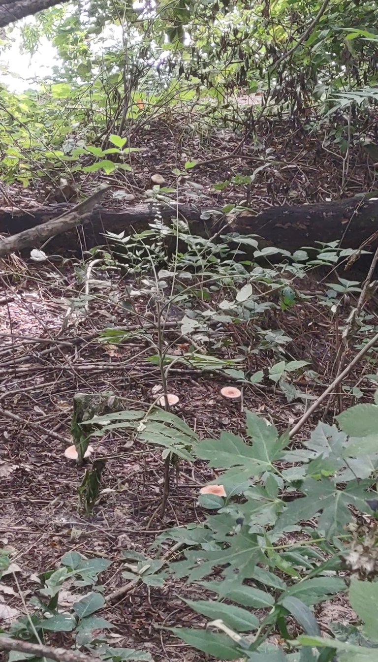
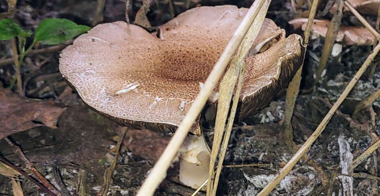
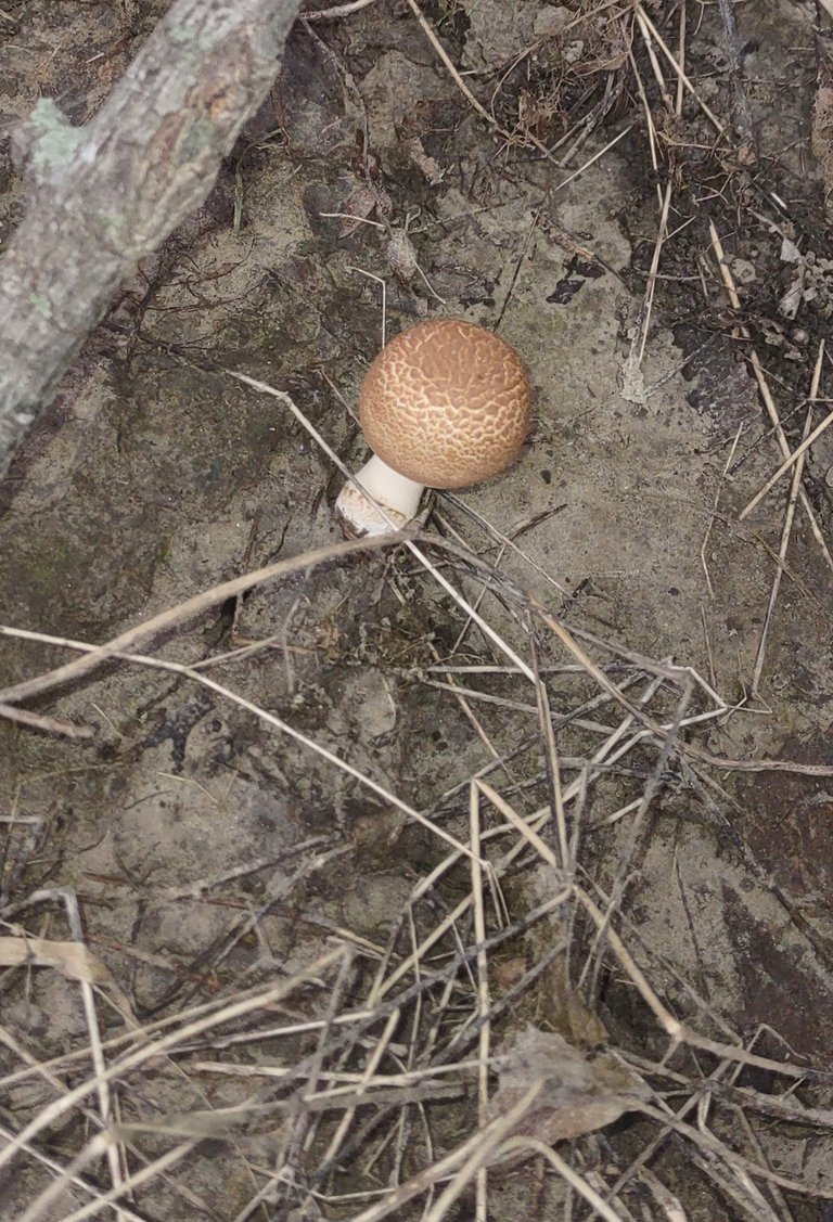
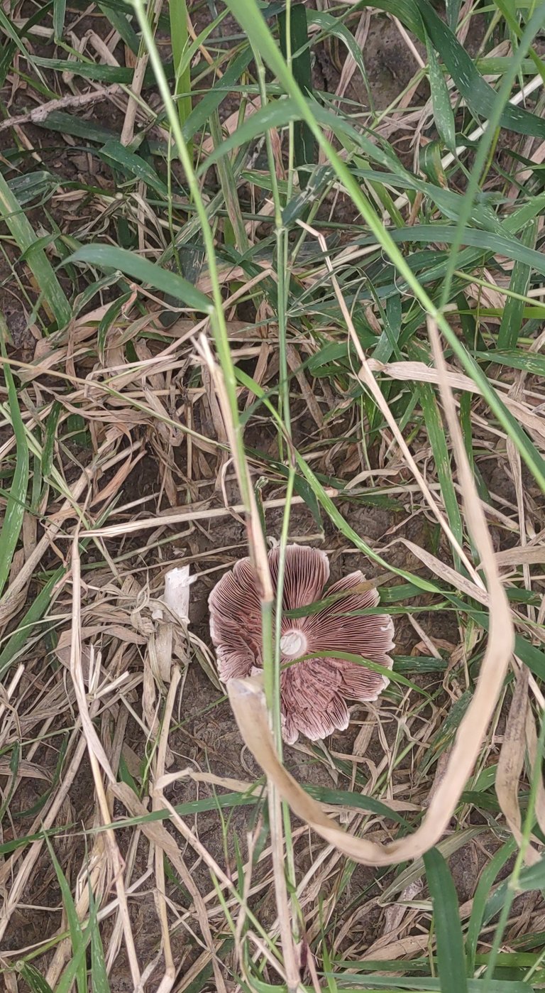
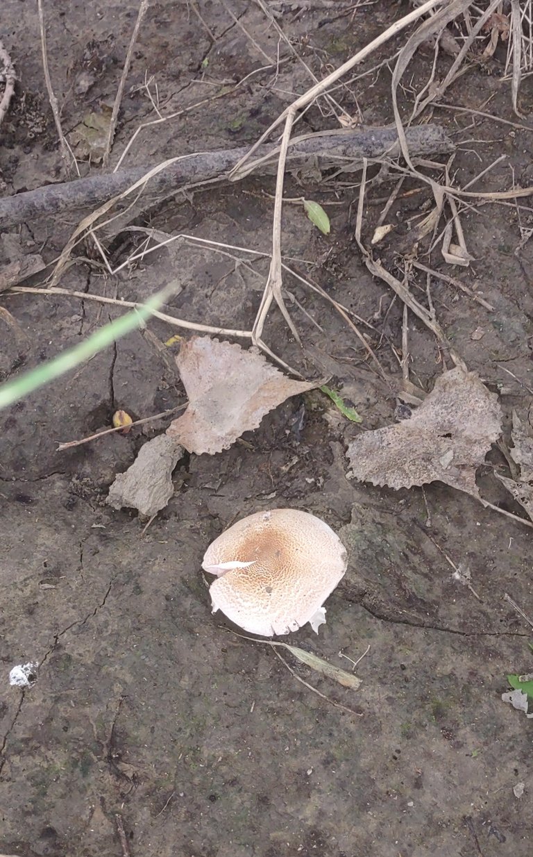
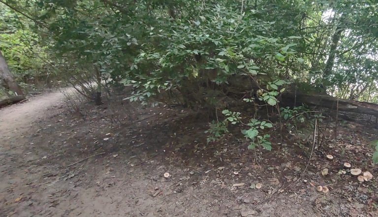
Ok maybe it's not alien but I ran across a lot of fungi in the form of mushrooms. There's a few people here I have raved about the mushroom population here in some areas. It's been awhile since I have located some. I would see quite a few more on this walk as well. I'm glad I finally seen some here on this walk.
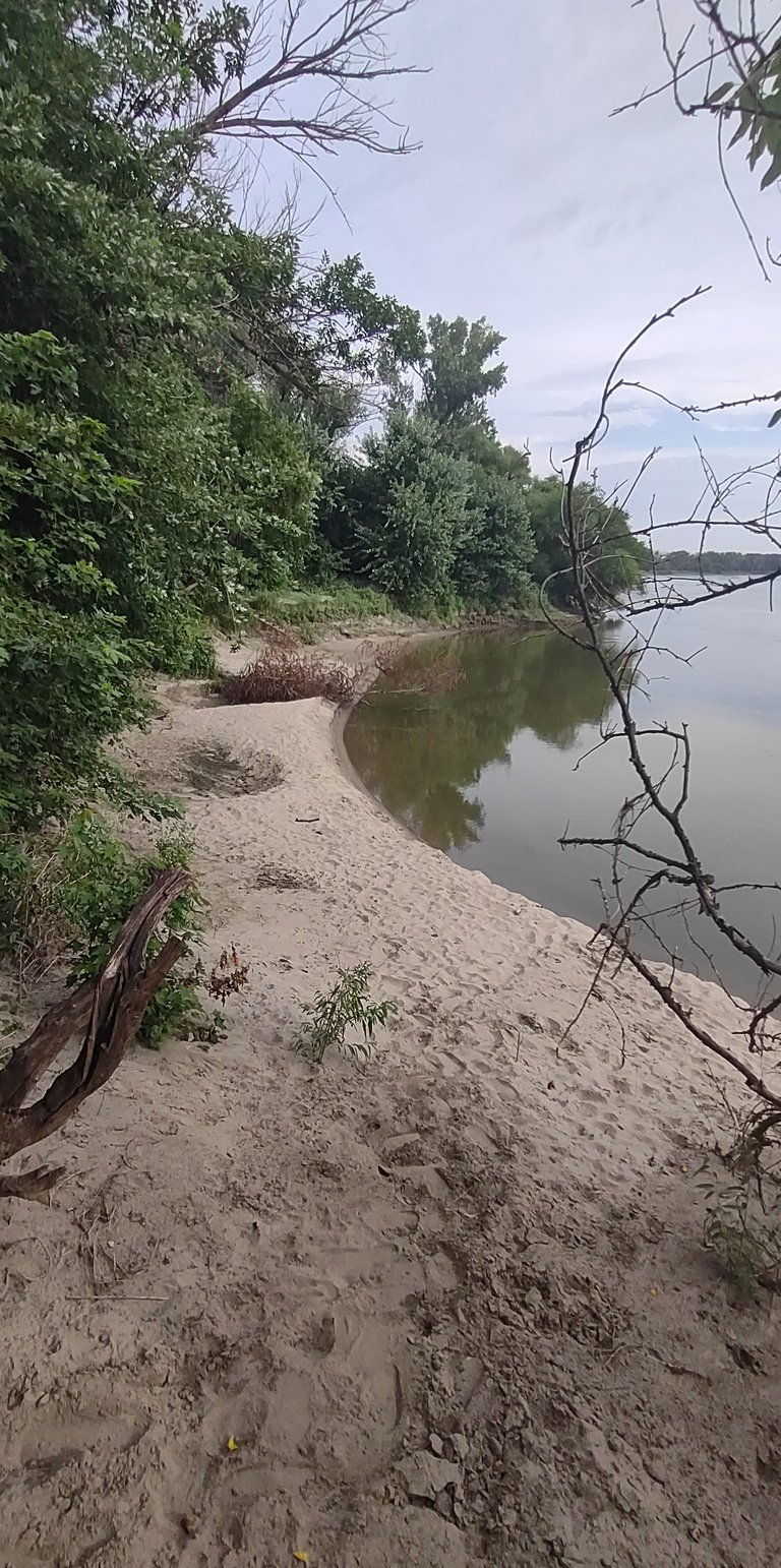
Once I got out of mushroom alley I came to another fork in the trail. One fork led to a river front beach. I scoped the area well thinking this will make a good future fishing spot 🎣 The other fork led to the continuation of the trail.
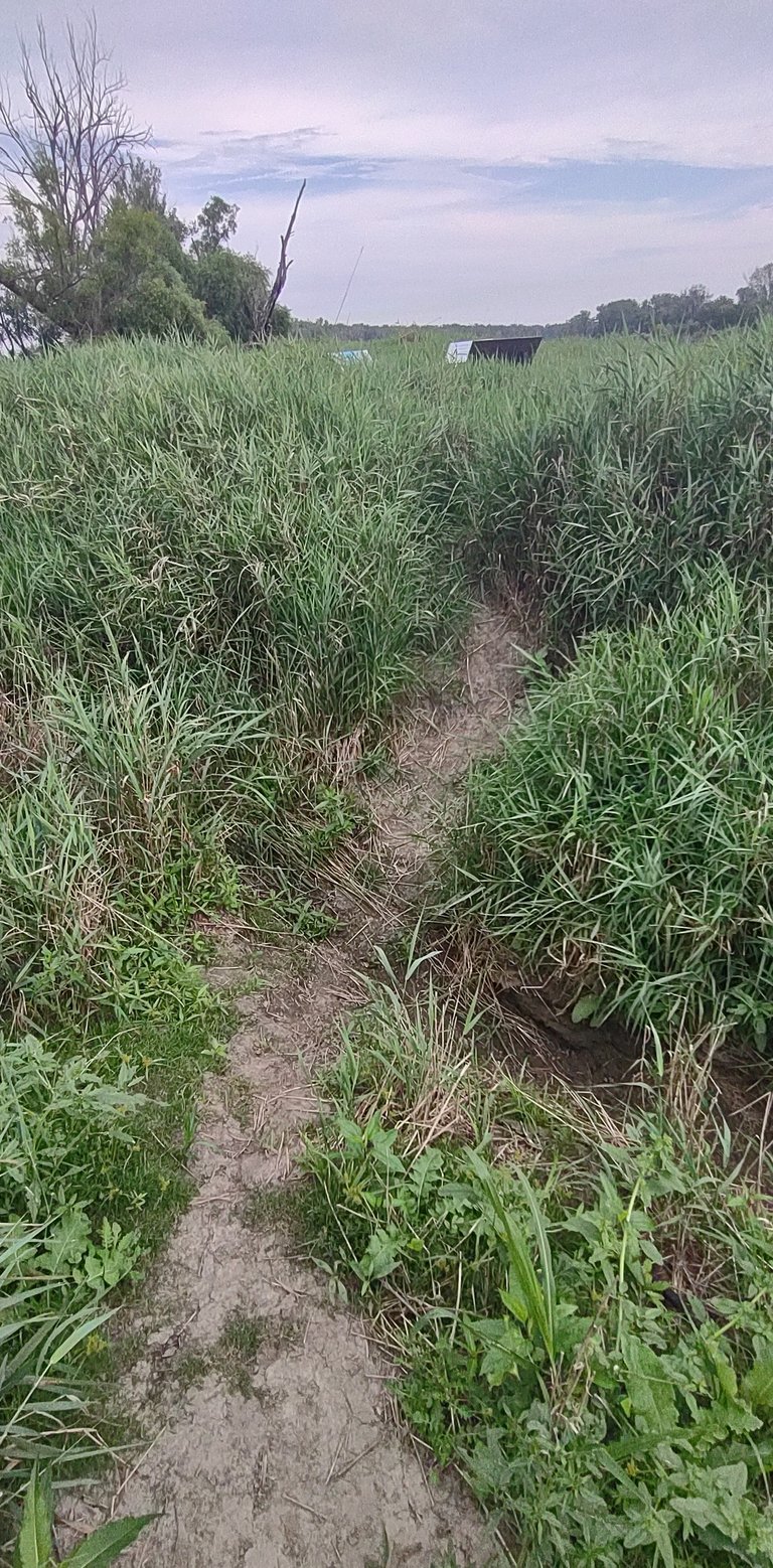
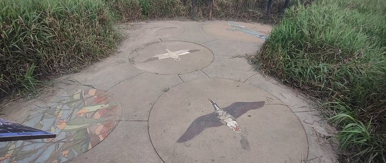
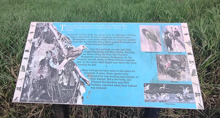
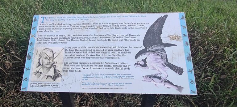
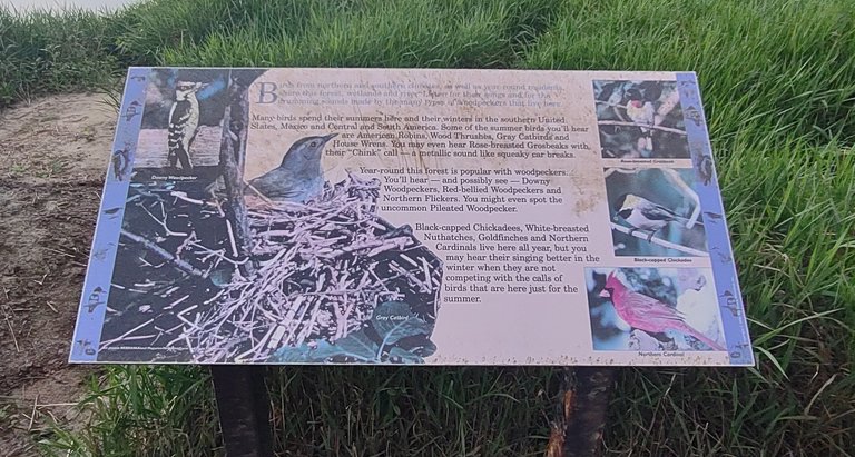
I walk in a bit of narrow path surrounded by taller grass. Up ahead is another history information exhibit. This one details all the birds that were and are now in the area. Some birds left once the landscape of the river changed. Another bird is extinct due to it being over harvested for its colorful feathers and for its nuisance of eating crop seeds.
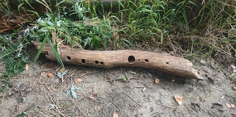
Many different species of birds still strive in this area. I heard many different bird's singing, chirping and even pecking. The picture above is of a limb fallen from a tree with several holes in it created from a few different species of wood peckers.
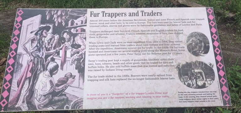
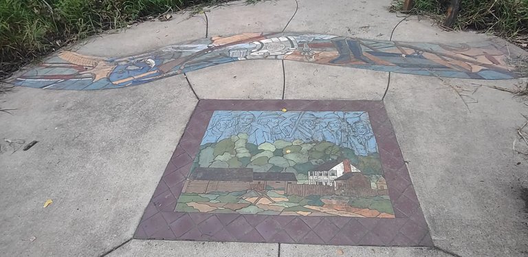
Not far from this exhibit was another one. This one describing the days of the fur trade. Beavers, otters, and mink were trapped and than discarded for their fur. These were much sought for in Europe. The beavers were almost killed to extinction. Today their populations are still here and favorable. It's a good thing that the fur trade basically ended and slowed down in the 1830's.
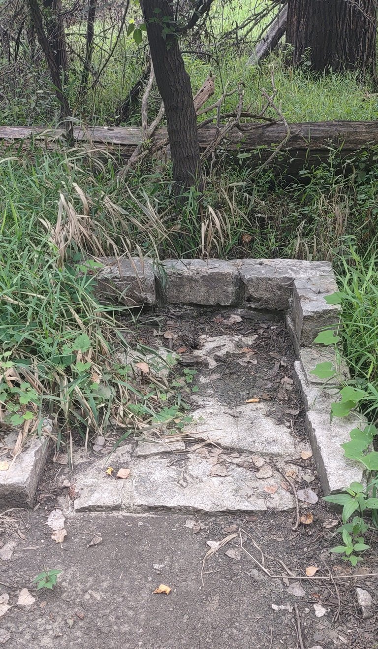
This photo is of a foot print left behind of what use to be the entrance of a fur trading post building. There were posts here already before the Lewis & Clark expeditions came to the area. They were mostly ran by the French, Spanish and even a few Native Americans. This foot print could very well be over 220 years old.
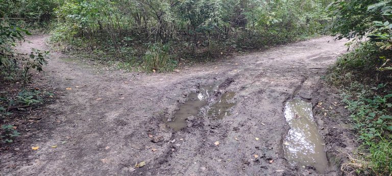
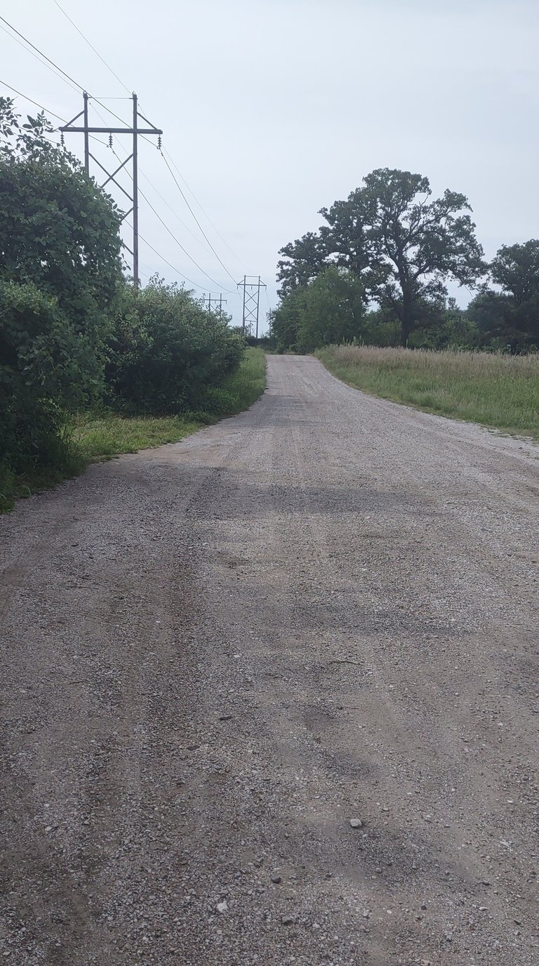
The last fork on the trail I seen. I took to the right and it led to a road. It was a decent walk on that road and my phone actually died on me. I got to the point on the road where it started to go in the wrong direction. I looked around and noticed a tall grass field and I could see my car in the distance.
A long story short I walked about 100 yards in waste high grass until I found myself with wet socks. I had water proof boots on but they don't protect when water gets over the top of them, haha. Up ahead I seen a good sized ditch with deeper water. I had no choice to turn around and walk back to that last fork. Oh how I wished I would have taken the left fork or turned around when I seen the road that wasn't part of the trail.
Despite the bad wet luck at the end I really enjoyed myself on this walk. I haven't shared everything about this place but I will incorporate more of it in articles to come and perhaps in the comments below.
Take care, stay safe and have a great rest of your week. Until next time!
 )
)
