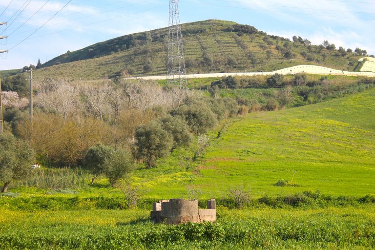
Hello fellow travelers, I passed through this community to leave a new adventure towards the north of the center of Lisbon, my adventure began in a small village called: "Santa Iria de Azoria" which is very famous for the Palace in the shape of a Castle and others. parks, therefore the walk that lasted 4 hours was full of beautiful villages, landscapes and even miradores, but most importantly the trail that had an extension of 13km culminated in one of the most difficult waterfalls I visited in all of Portugal! Join me in my experience!🚙🍍🚩
Hola amigos viajeros paso por esta comunidad para dejar una nueva aventura hacia el norte del centro de Lisboa mi aventura comenzo en una pequeña aldea que se llama: "Santa iria de Azoria" la cual es muy famosa por el Palacio en forma de Castillo y otros parques, por tanto la caminata que tuvo una duracion de 4 horas estuvo llena de hermosas aldeas, paisajes e incluso mirarodes, pero lo mas importante el sendero que tuvo una extension de 13km culmino en una de las cascadas mas dificiles que visite en todo Portugal! acompañame en mi experiencia!🌊🌄🧭
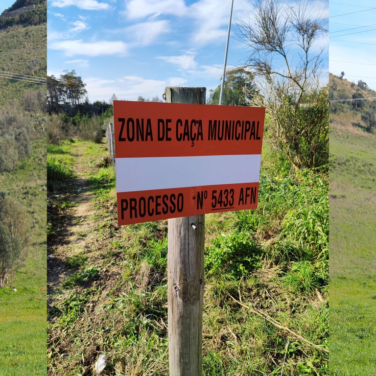
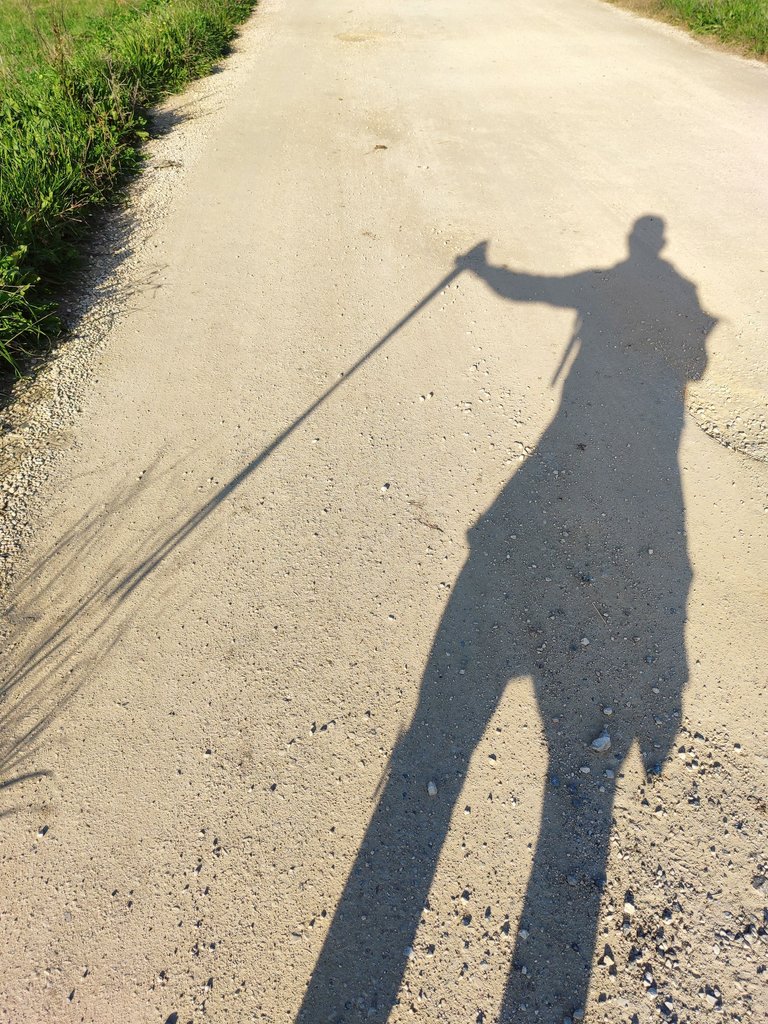
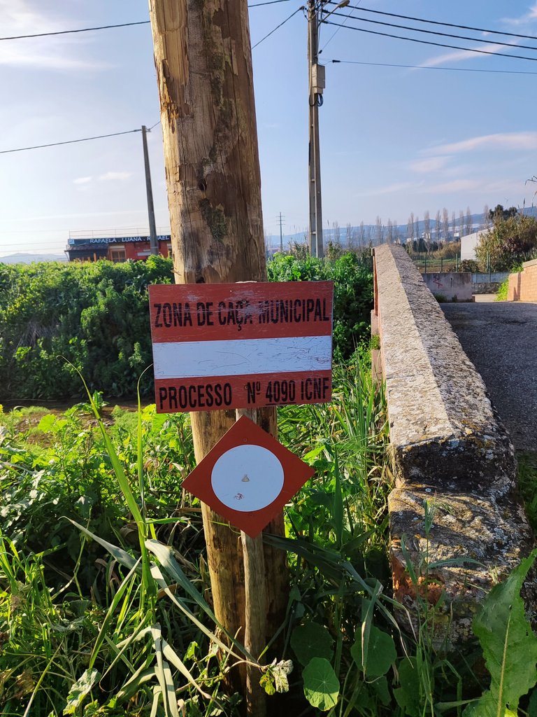
As I mentioned at the beginning of the post, it was a hike with a medium difficulty since there are parts of the hike that have ups and downs that are a little dangerous and that require the hiking pole to avoid hurting yourself! The beginning of the trail, as you can see, has a red sign that says hunting area, so we have to be cautious before moving through the mountains and wear flashy clothing and make the necessary noise to indicate to the hunters that we are in the area, however. Not the whole year is hunting season!🚩🍍🚙
Como lo comente en el inicio del post fue una caminata diria con una dificultad media ya que hay partes de la caminata que hay subidas y bajadas un poco peligrosa y que requieren el baston de excursion para no lastimarte! el comienzo del sendero como puedes ver tiene un letrero rojo que dice area de caza por lo que tenemos que estar precavidos antes de circular entre la montaña y usar ropa llamativa y hacer el ruido necesario para indicar a los cazadores que estamos por la zona sin embargo no todo el año es periodo de caza!🌍🚵♂️🌏
The best time for me is spring or winter, however, if you love heat and sun, summer is ideal for you! I felt very warm even though it was winter and the type of soil reflects the sun's rays so I don't think it would be pleasant to take a walk here in summer with 40 degrees above you! However, each season has its positive and negative aspects, for example today there was a lot of mud and there were areas on the mountain that were too slippery and dangerous! Parking the car is easy so you can leave it on the trail! everything is free, bring food and water!👀🧭🌏
la mejor epoca para mi es en primavera o invierno sin embargo si eres amante del calor y sol verano es ideal para ti! senti mucho calir mismo siendo invierno y el tipo de suelo refleja los rayos del sol por tanto no creo que sea agradable dar una caminata aqui en verano con 40 grados encima de ti! sin embargo cada estacion tiene sus aspectos positivos y negativos por ejemplo hoy habia mucho barro y habian zonas en la montaña demasiado resbalosa y peligrosas! estacionar el carro es facil por tanto puedes dejarlo arriba del sendero! todo es gratis, trae comida y agua!😲🚙

About the village🧭🌍/Sobre la aldea🍍🚩
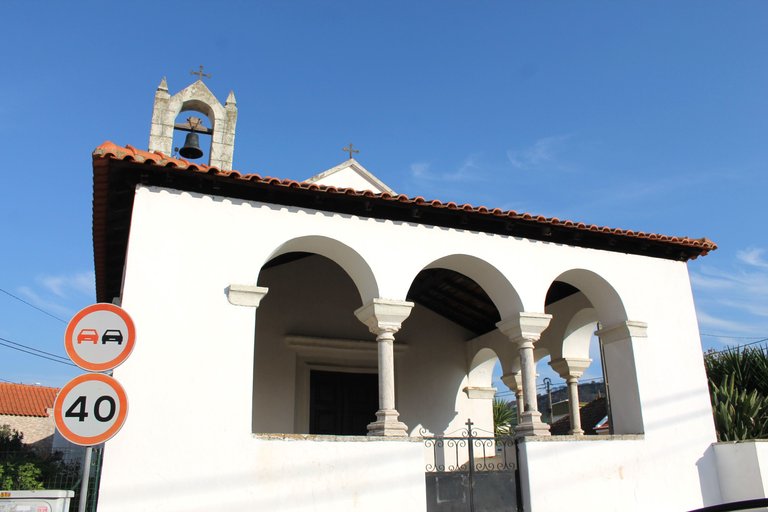
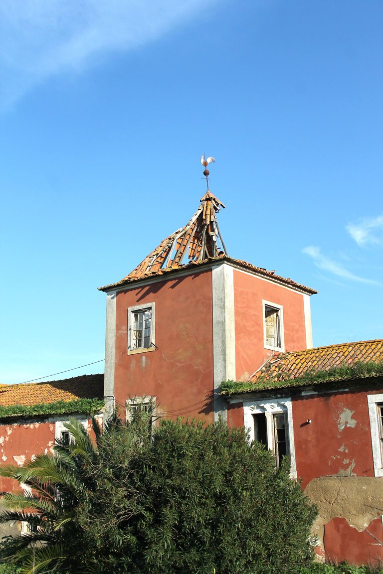
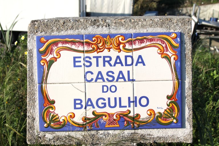
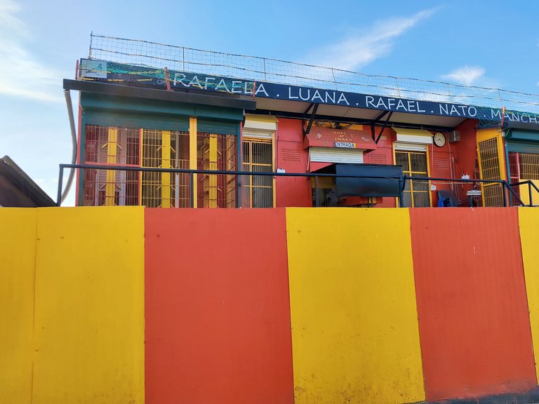
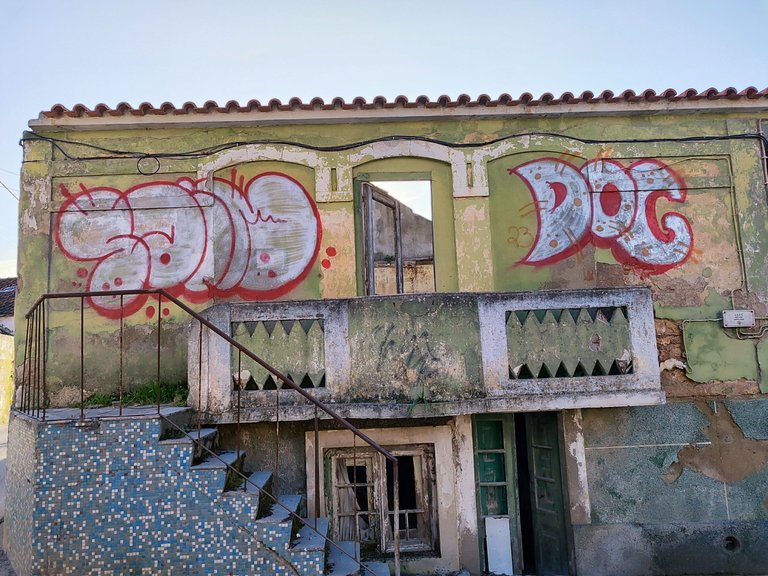
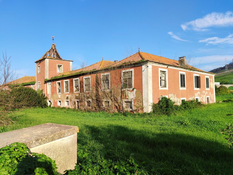
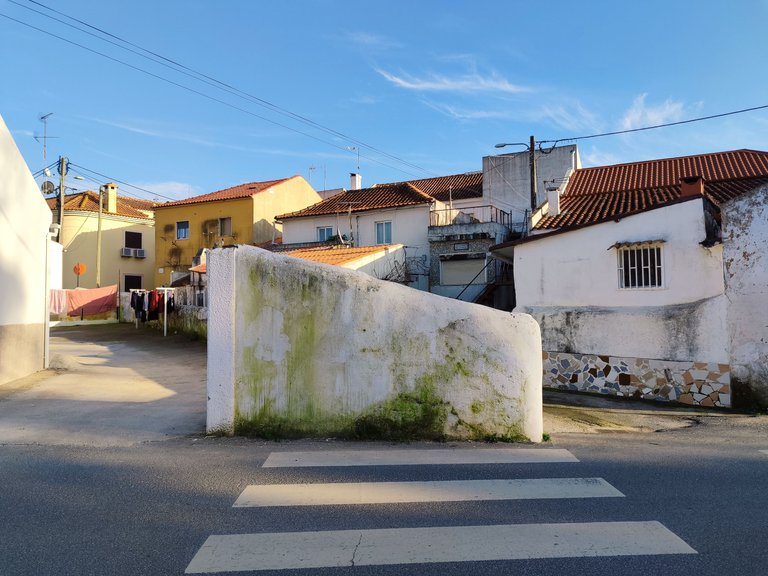
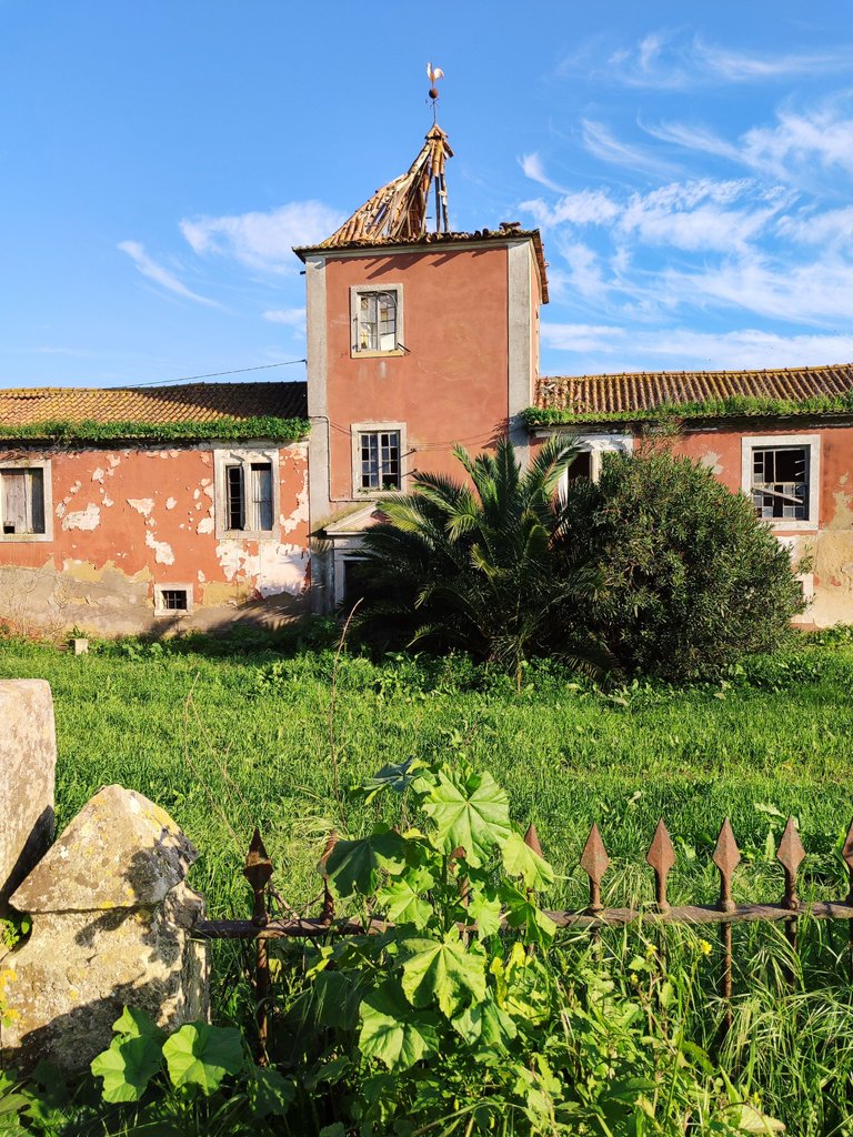
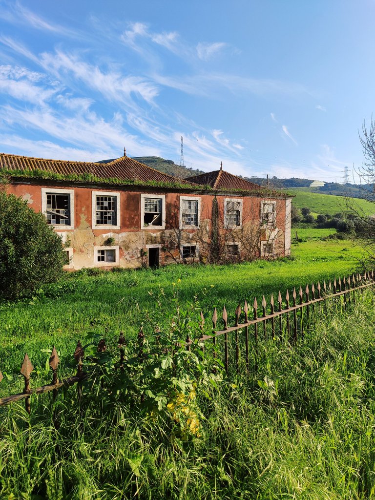
I passed through many villages while walking, some of them smaller than others but the one that caught my attention the most was: "Santa Iria de Azoria" which was the largest, it has a beautiful chapel and several abandoned palaces that give a touch half gothic to the village! Despite being in the middle of nowhere, it is very civilized because it has everything from supermarkets to schools, you will also see many lands used for planting! to get from one village to another it takes about 2-3km🌍🚩🧭
pase por muchas aldeas mientras hacia la caminata alguna de ellas mas pequeñas que otras pero la que mas me llamo la atencion fue: "Santa iria de Azoria" la cual fue la mas grande, tiene una bonita capilla y varios palacios abandonados que dan un toque medio gotico a la aldea! apesar de estar en medio de la nada es muy civilizada porque tiene desde supermercados hasta escuelas, tambien veras muchos terrenos aprovechados para la siembra! para llegar de una aldea a otra demoras unos 2-3km🍍🚙🚵♂️

First stop colonial houses🧭🌍/Primera parada casas coloniales🍍🚩
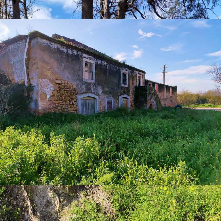
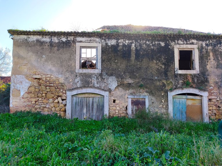
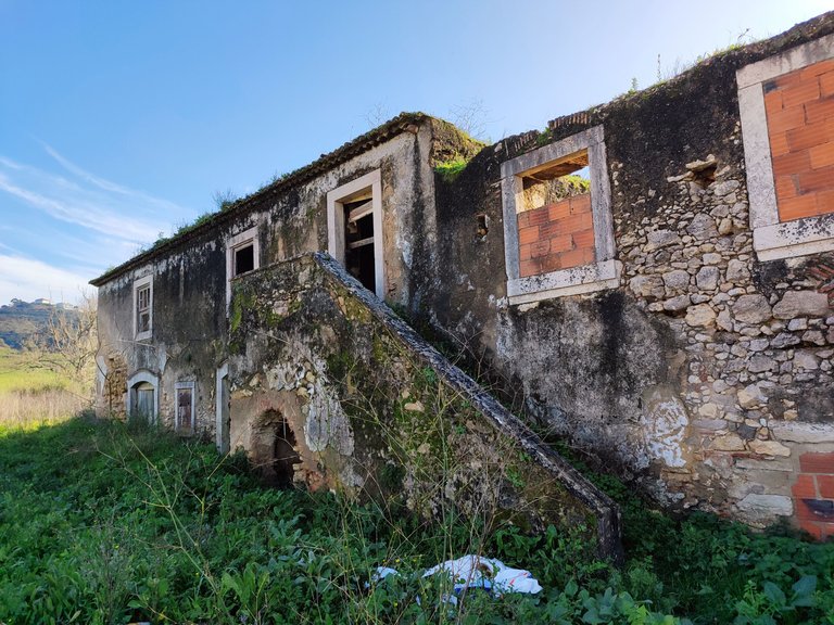
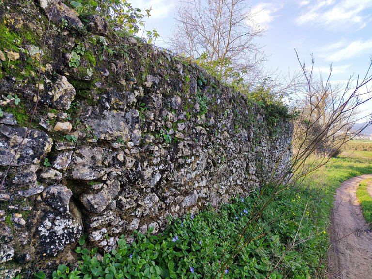
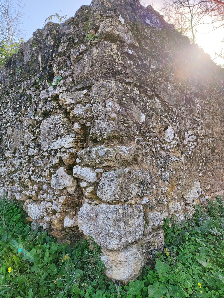
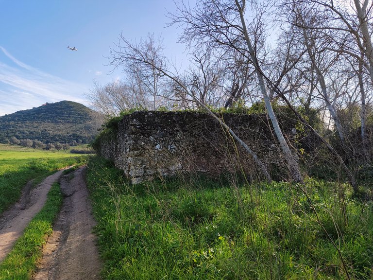
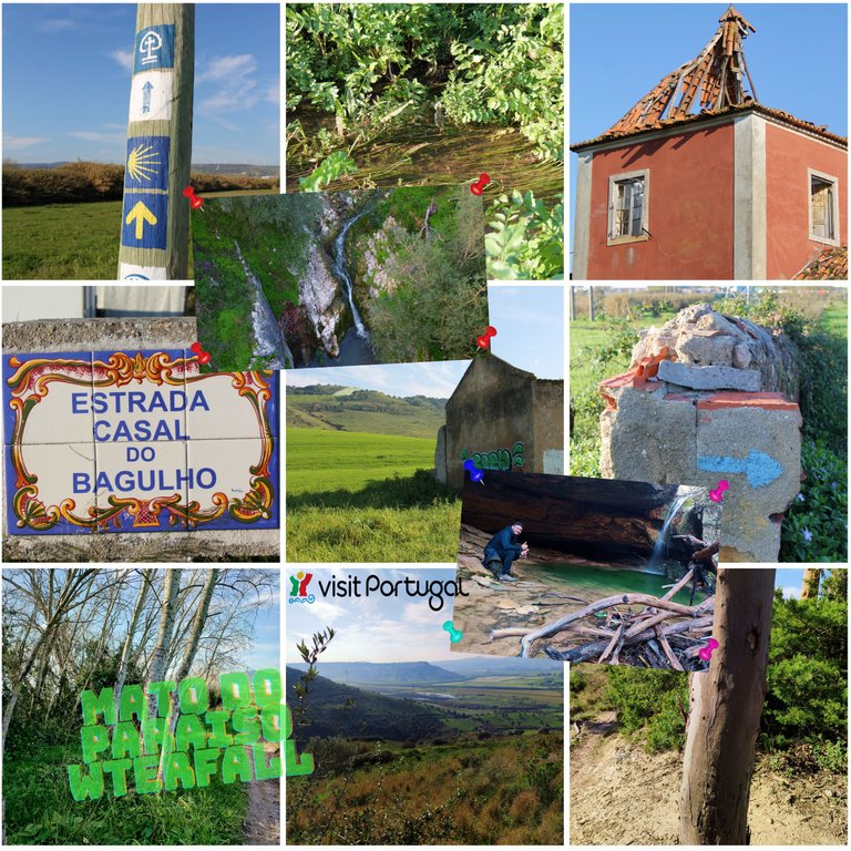
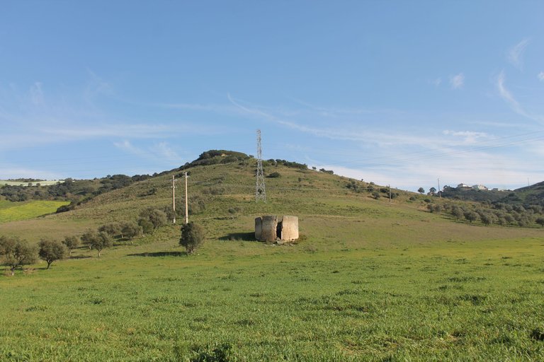
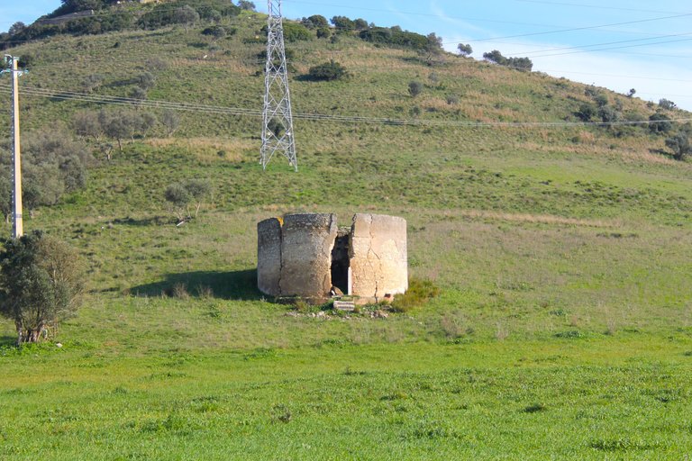
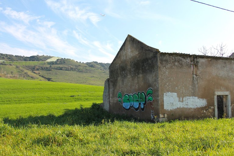
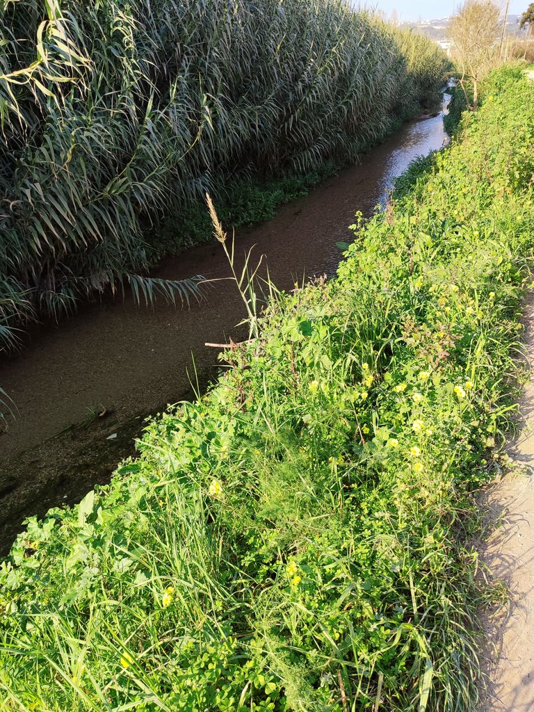
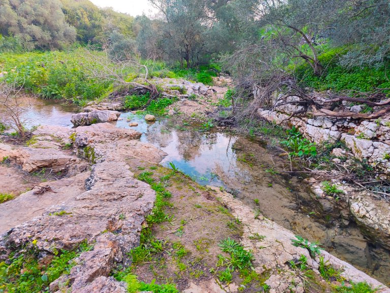
When you get to the colonial houses I think you have already walked about 6km, there is a little more than half of the trail left and I made a small stop to photograph these houses that seem to have the appearance of being probably built in the 18th or early 19th century. wall by not using blocks I think they are older than they seem! The area is abandoned and you see no inhabited houses! From here just follow the river for a few km to reach the next village called: "Monjoes"🧭🚩🌏
Cuando llegas a las casas coloniales creo que ya caminastes unos 6km, falta un poco mas de la mitad del sendero e hice una pequeña parada para fotografiar estas casas que parece que tienen un aspecto de ser construidas probablemente en XVIII o principios de los XIX por la pared al no usar bloques creo que son mas antiguas de lo que parece! la zona esta abandonada y ves ninguna casa habitada! luego de aqui basta con seguir el rio algunos km para llegar a la proxima aldea llamada: "Monjoes"📚🏰🌄

How is the landscape?🧭🌍/Que tal el paisaje?🍍🚩
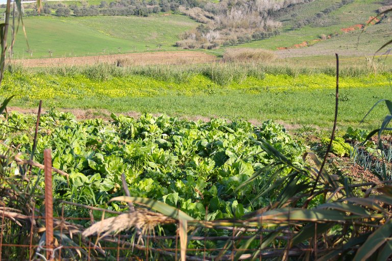
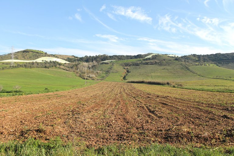
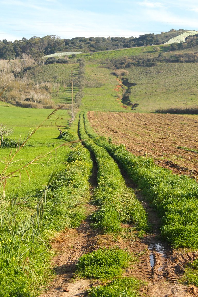
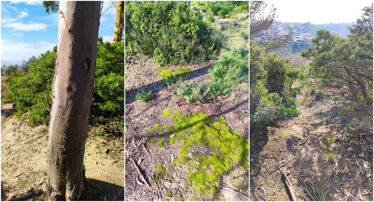
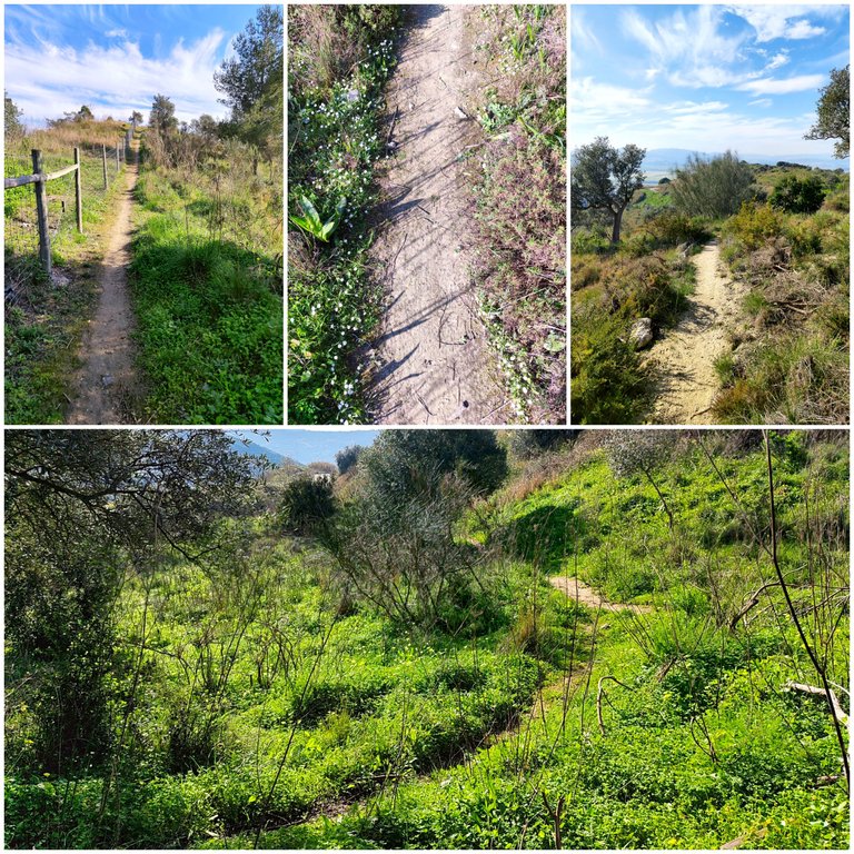
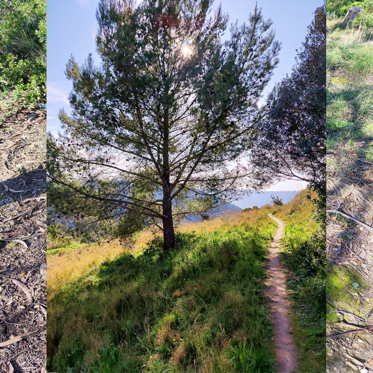
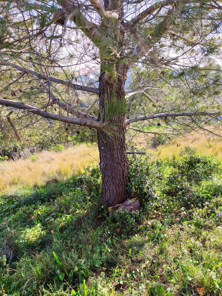
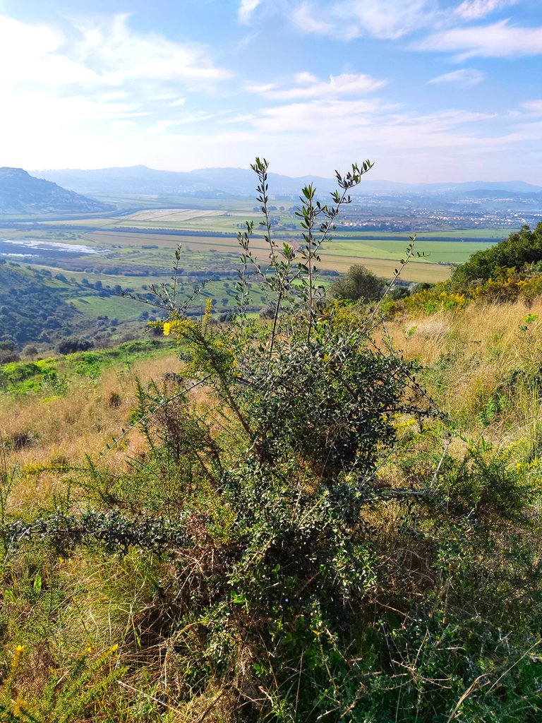
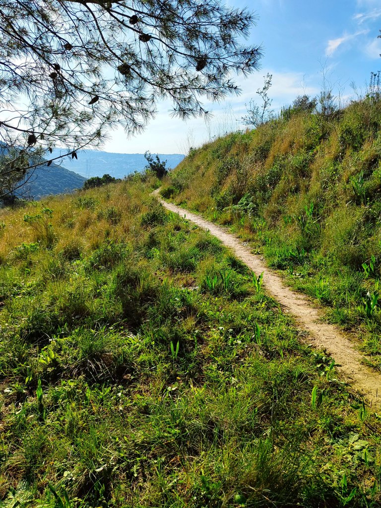
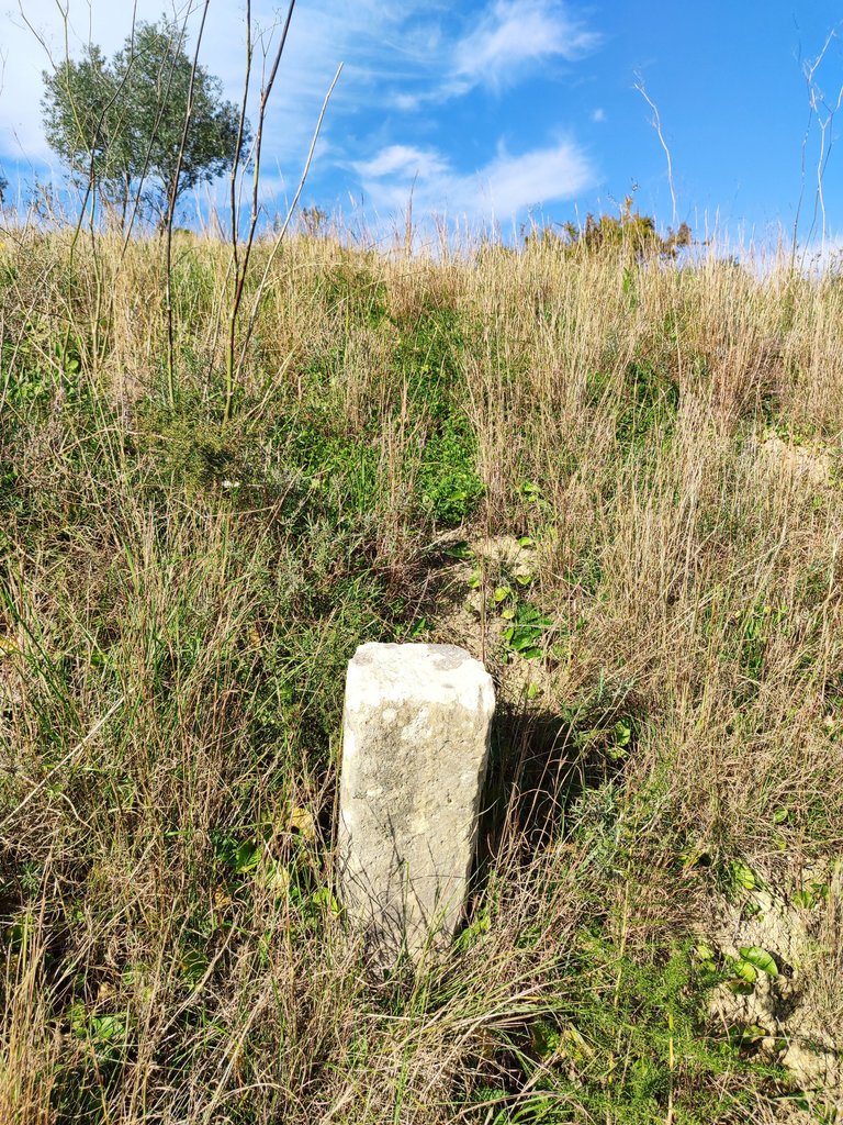
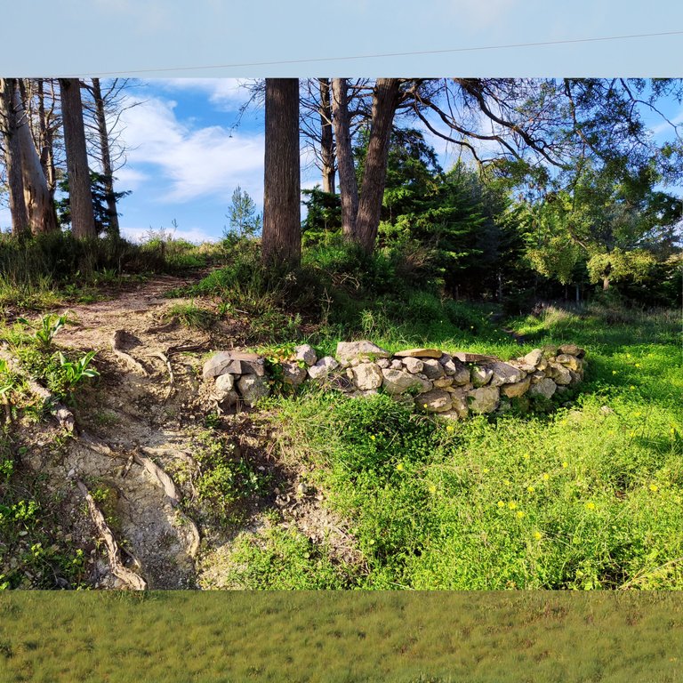
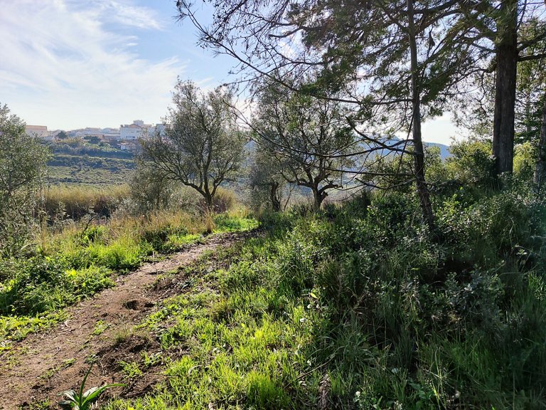
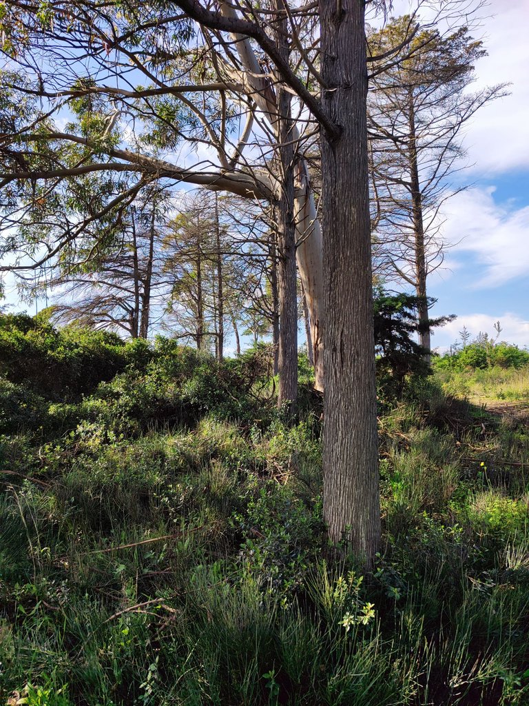
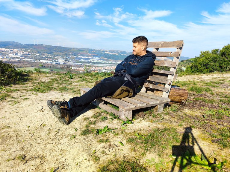
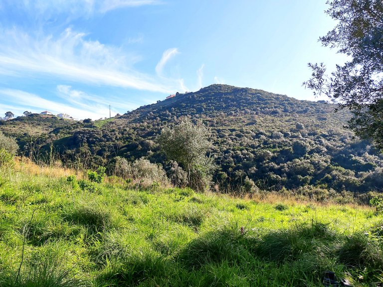
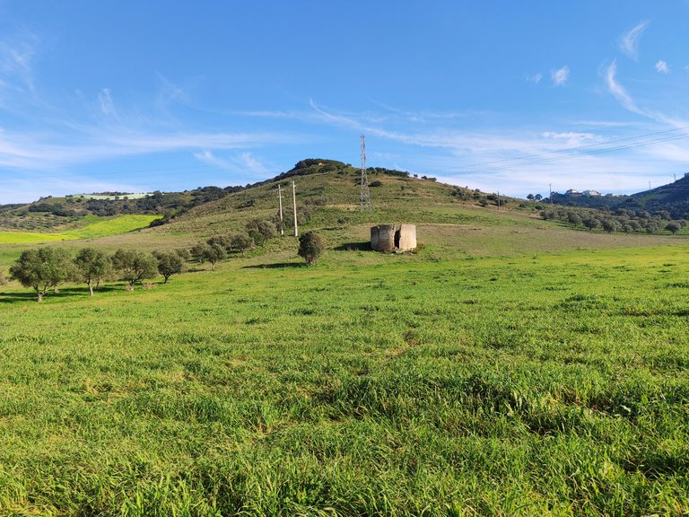
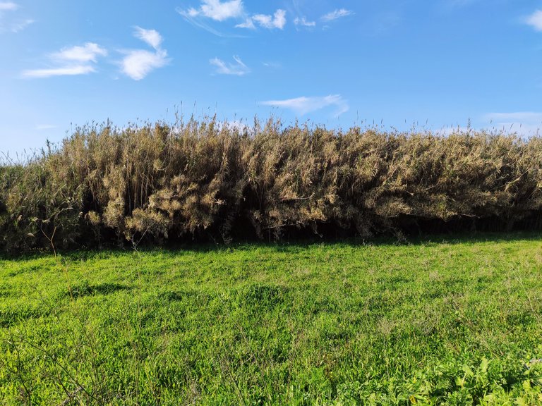
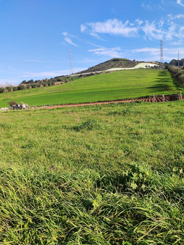
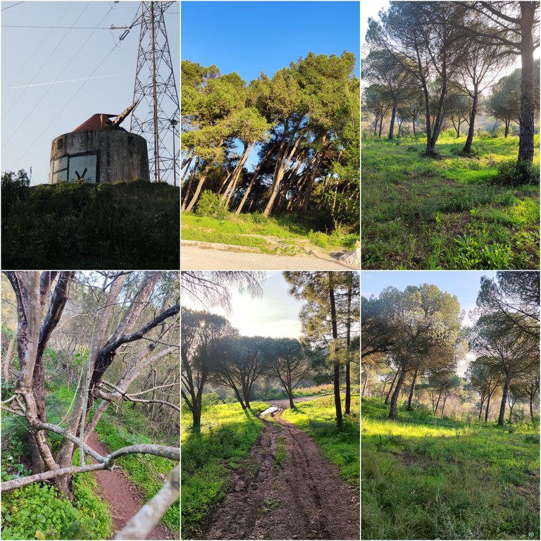
Here we are at the top of the hills, I would say I am about a hundred meters high! As you can see, the landscape is very diverse, highlighting many fruit bushes, thorns and quite a few pine trees. In spring, it must be beautiful because we see many flowers and insects throughout the hill. About 6km away, I arrive at my next visit to a small viewpoint where you can see several villages to the north.🚩🌏
Aqui estamos en lo alto de las colinas diria que estoy a unos cien metros de altura! como puedes ver el paisaje es muy diverso destacando muchos arbustos frutales, espinosos y bastantes arboles de pino, en primavera debe ser bonito porque vemos muchas flores e insectos en toda la colina, a unos 6km llego a mi proxima visita un pequeño mirador donde puedes ver varias aldeas que estan hacia el norte.🌄🍍

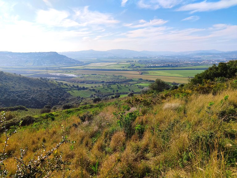
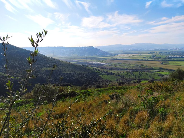
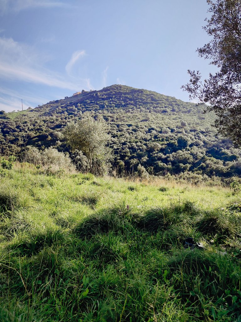
Beautiful landscape🚙🍍
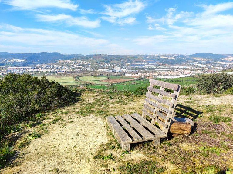
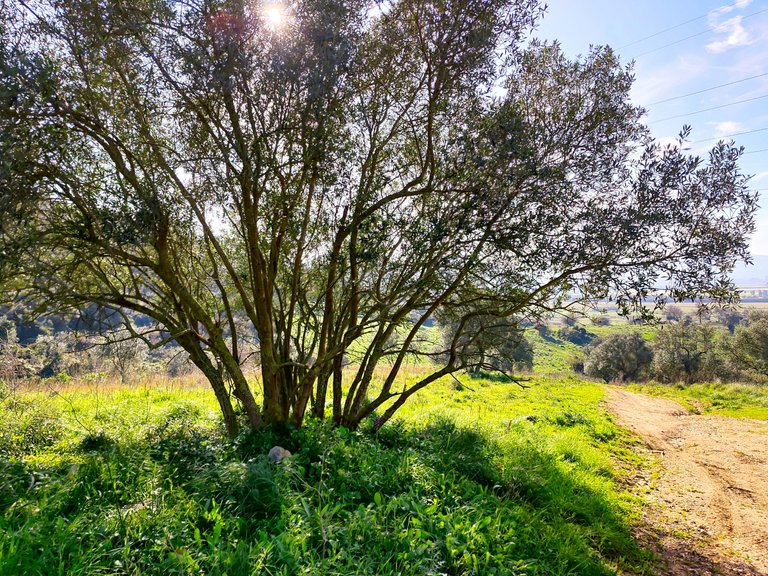
I am in the parish of Loures which I have explored a lot and which has dozens of interesting things to visit from waterfalls to caves to several natural viewpoints! Loures has a small mountain range with the highest point being about 230 meters high, this area then transforms into a valley where there is a lot of cultivation taking advantage of the river that borders the Camino de Santiago path!👀🧭🌏
Estoy en la freguesia de Loures la cual e explorado mucho y que tiene decenas de cosas interesantes para visitar desde cascadas hasta cuevas pasando por varios miradores naturales! loures tiene una pequeña sierra siendo el punto mas alto unos 230metros de altura, esta area luego se transforma en un valle donde hay mucho cultivo aprovechando el rio que bordea el camino de Camino de Santiago!😲🚙


10KM road to Santiago🧭🌍/10KM camino de Santiago🍍🚩
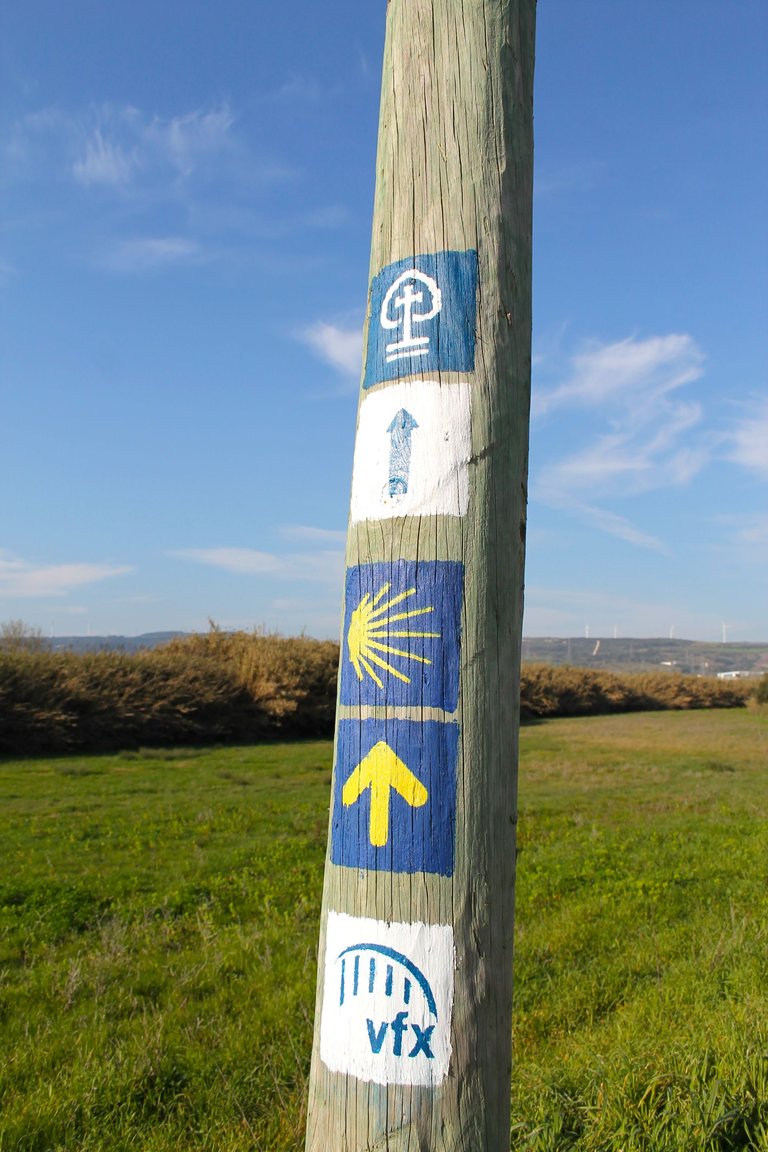
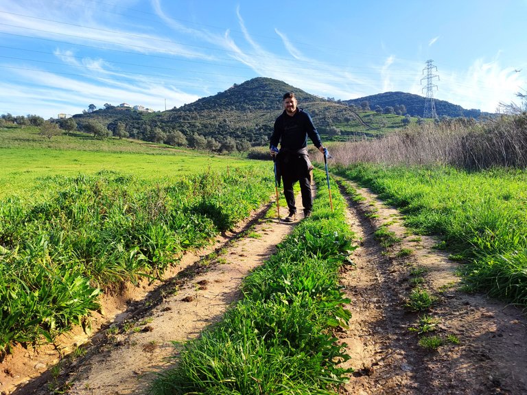
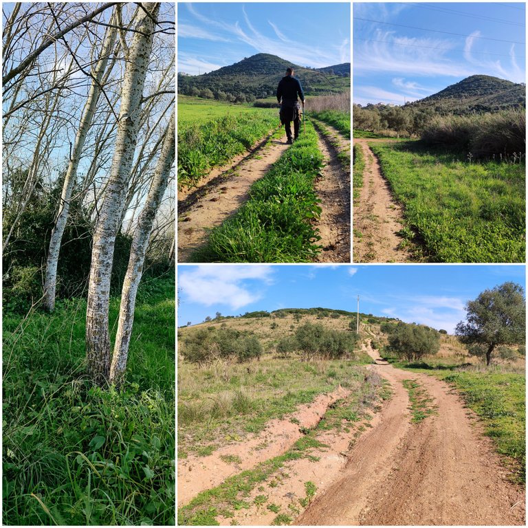
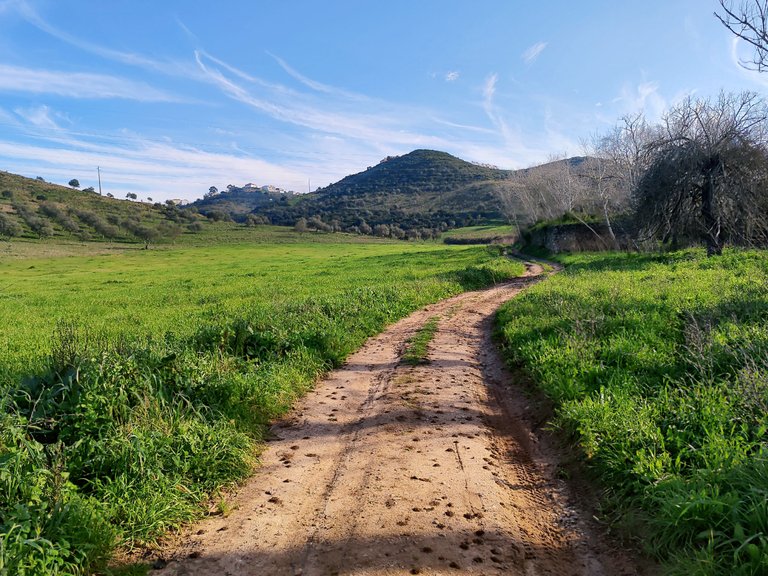
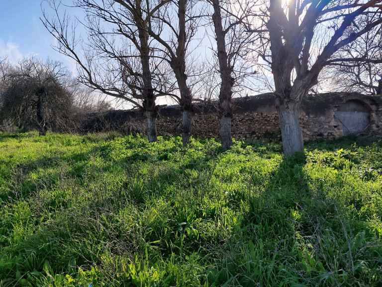
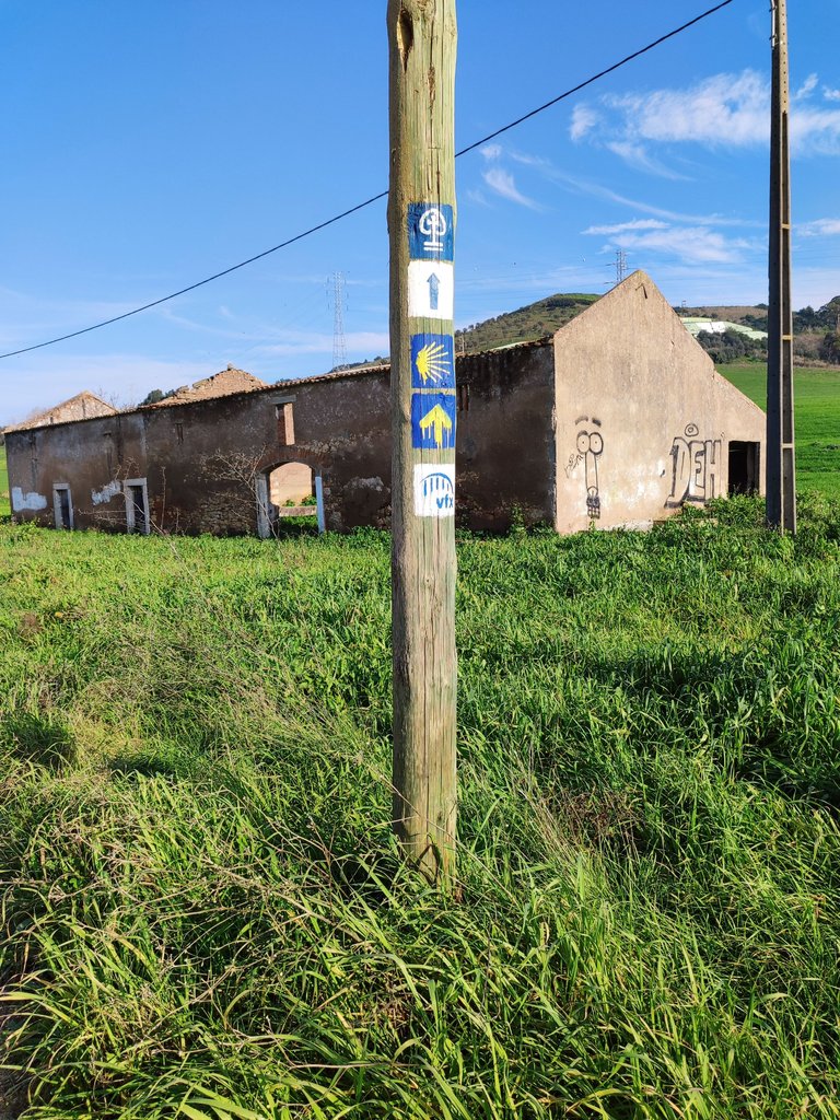
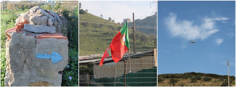
Who would have thought that on this trail you would spend a few kilometers on one of the most popular trails in the world and surely if you are a fan of trails you will know the "Camino de Santiago" I think the largest trail in the world with up to 200km in distance! where you see that blue image with a sun, if you follow the route you will reach the north of the country!🚩🌏
quien diria que en este sendero pasaria unos kilometros en uno de los senderos mas populares del mundo y seguramente si eres fan de los senderos conoceras el "Camino de Santiago" creo que el sendero mas grande del mundo con hasta 200km de distancia! donde ves esa imagen azul con un sol si sigues la ruta llegaras al norte del pais!🧭

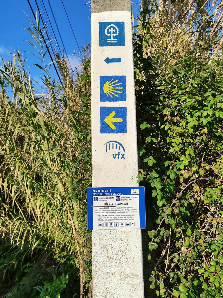
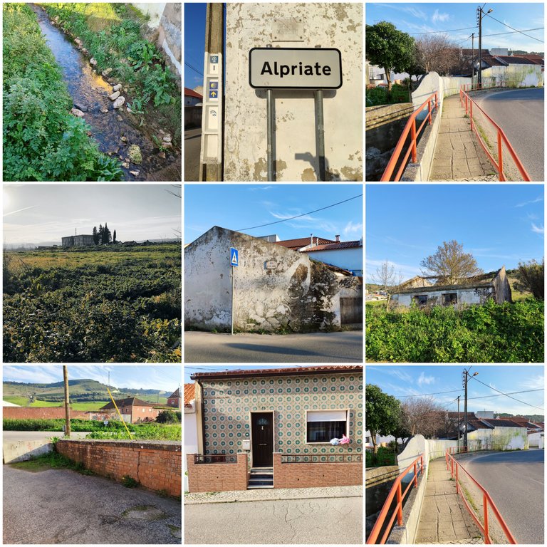

10KM road to Santiago🧭🌍/12KM camino de Santiago🍍🚩
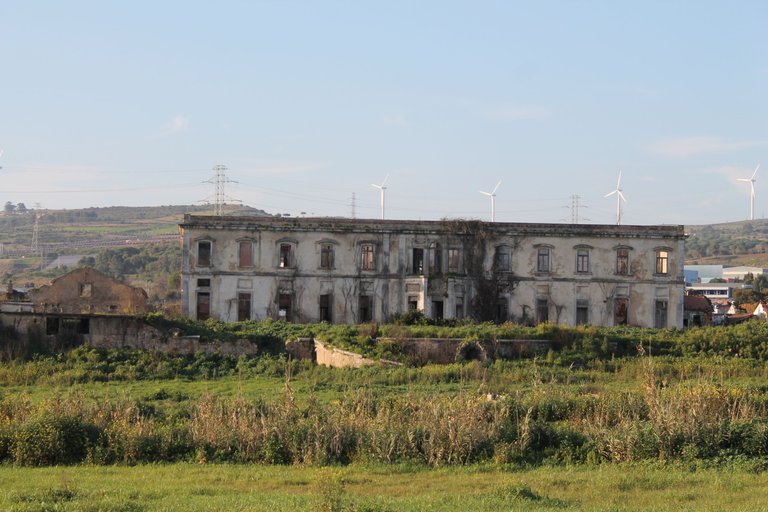

The waterfall🧭🌍/La cascada🍍🚩
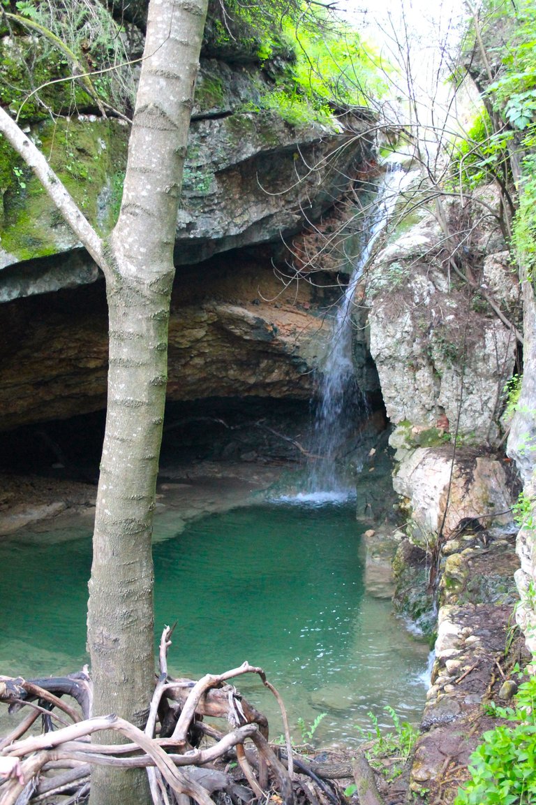
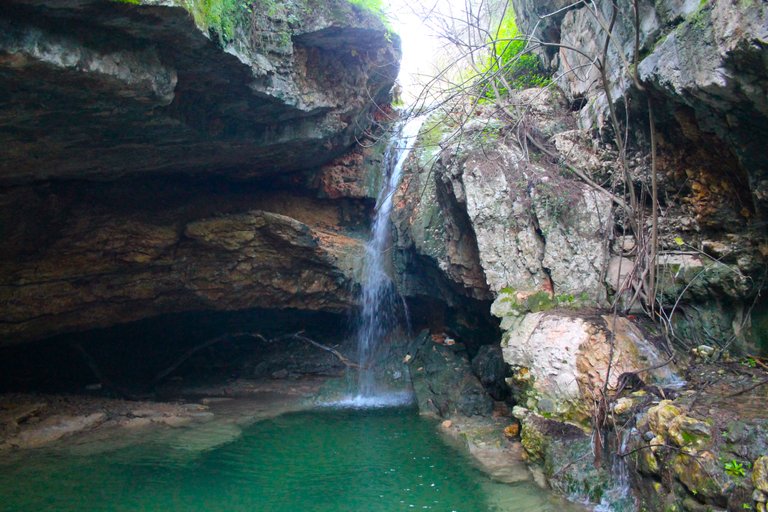
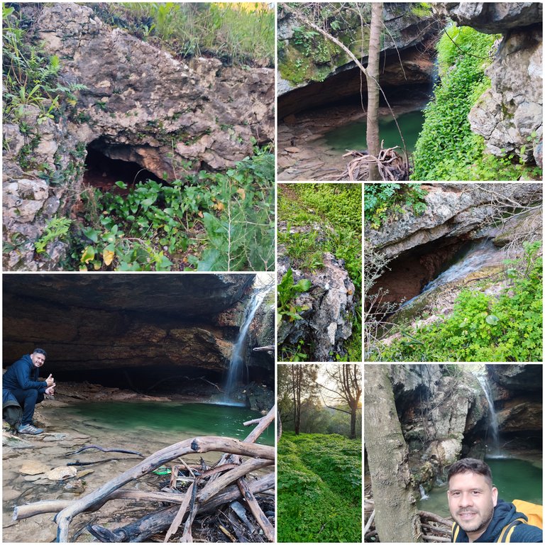
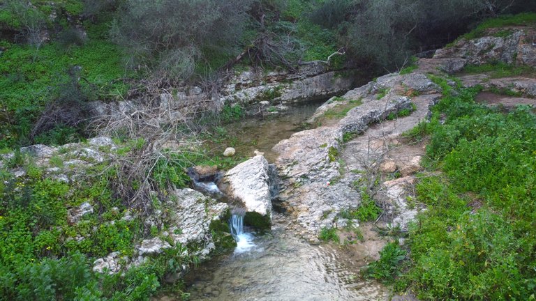
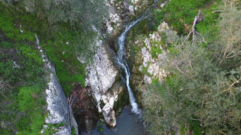
And finally we reached the end of the trail, this is one of the most beautiful waterfalls in Portugal and let me tell you if you come in summer you can shower there because the water is clean! I walked I think more than 15km to get here! and in total I walked more than 23km on this day! It was quite exhausting but the reward for this beautiful landscape was worth it!🌏🚩
Y por fin llegamos al final del sendero esta es una de las cascadas mas bonitas de Portugal y dejame decirte si vienes en verano puedes ducharte alli porque el agua es limpia! camine creo que mas de 15km para llegar aqui! y en total camine mas de 23km en este dia! fue bastante agotador pero valio la pena la recompensa por este lindo paisaje!🍍🌄



DNA is an organization to foster and DENSIFY NATURE-APPRECIATION which aims to establish REPORTS OF BIODIVERSITY DATA that is contributed by all of us Hiveans and subsequently cataloged.
Therefore DNA searches for HIGH-QUALITY posts that aim to DESCRIBE and determine the BIODIVERSITY AROUND YOU with added EXPLANATIONS and INFORMATION. For these informative posts they offer a CURATION SERVICE using the @dna.org account. It is also a CURATION TRAIL. Just add the #dna TAG if you think that any of your posts is what they are looking for.
THANKS FOR READING ME (PHOTOS OF MY PROPERTY) / GRACIAS POR LEERME FOTOS DE MI PROPIEDAD🙂🧠🦾👍
