Hum is a settlement with only about 30 inhabitants that was once a small medieval town. The photographs in this post were taken on the 8th of October 2020, during my last visit to that area.
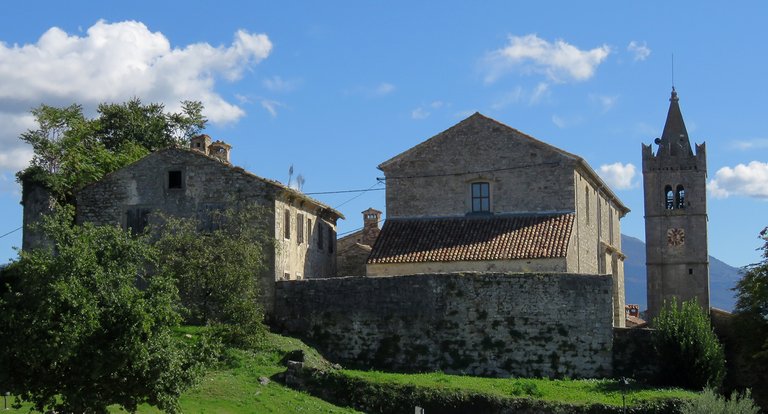
Hum is situated near the northeastern edge of Istra, the peninsula on which I live.
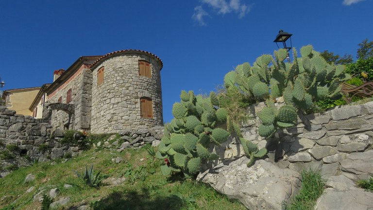
I had to drive about 90 kilometers to get there.
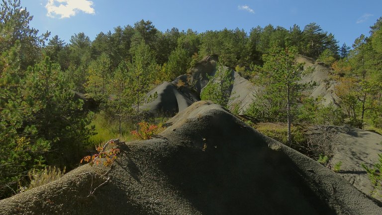
The landscape in that part of Istra is very different from the one in my southern, seaside area ...
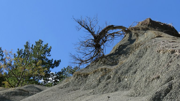
... so walking around and taking photographs was very exciting.
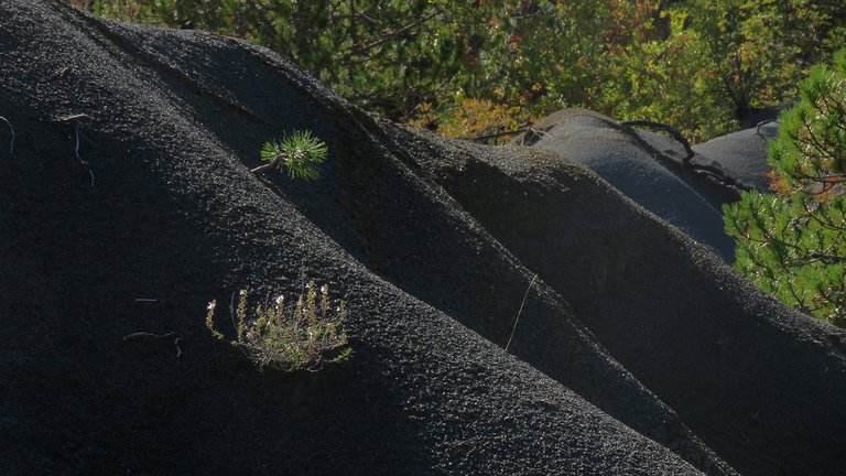
I felt further from home than I really was.
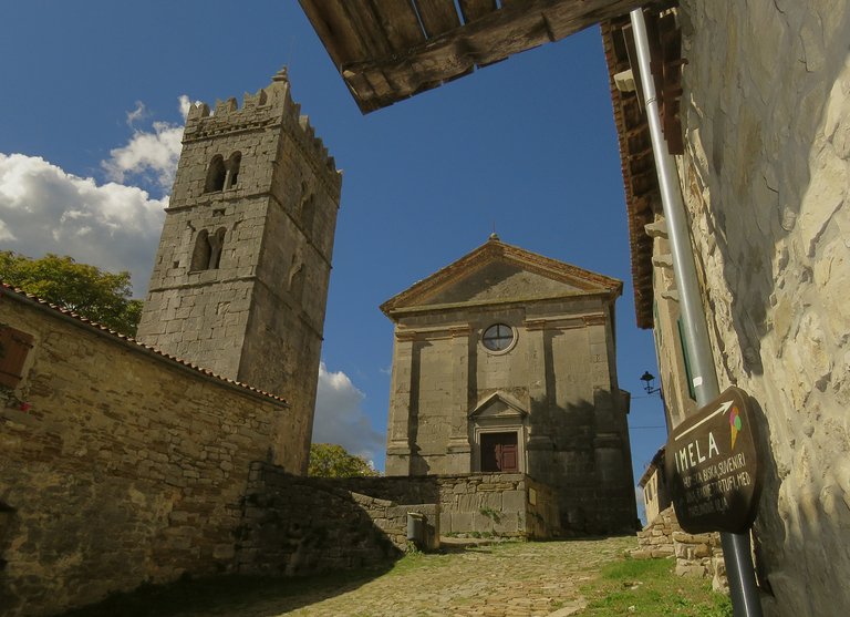
Archaeological remains excavated in the hill on which Hum is located, show that the area was populated since the Neolithic ...
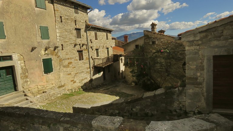
... but the preserved, still visible urban elements and the town's layout belong to the middle ages.
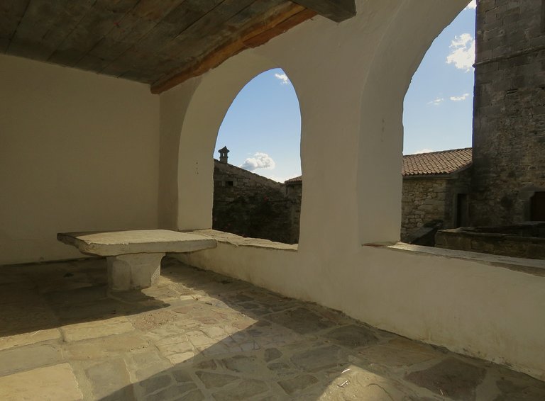
The castle around which the town was formed was probably built during the 11th century.
In written sources, Hum is for the first time mentioned as Hulm, in the
deed of donation of a nobleman called Ulric II, Margrave of Carniola.
At the beginning of the 13th century, it belonged to the Aquileian patriarchs.
The Patriarchate of Aquileia was an area under ecclesiastical jurisdiction in northeastern Italy, not far from Trieste. Aquileia is still there, on the Italian coast, but just like Hum, it's a much smaller and less significant town now.
In the year 1412 was conquered by the Venetians. The castle and the city walls were completely destroyed on that occasion.
The town remained a property of the Venetian Republic until the demise of that Republic in the year 1797.
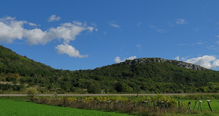
This photograph was taken about 15 - 20 kilometers from Hum when I stopped at the gas station.
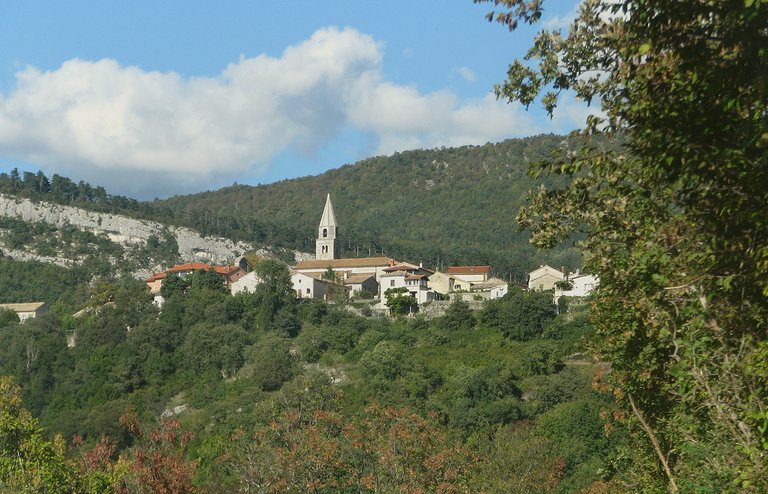
Here you can see the town called Roch. I took this photograph while driving on the narrow, winding country lane that connects small towns and villages scattered around the hills and valleys. At his point, I was less than 10 kilometers from my destination.
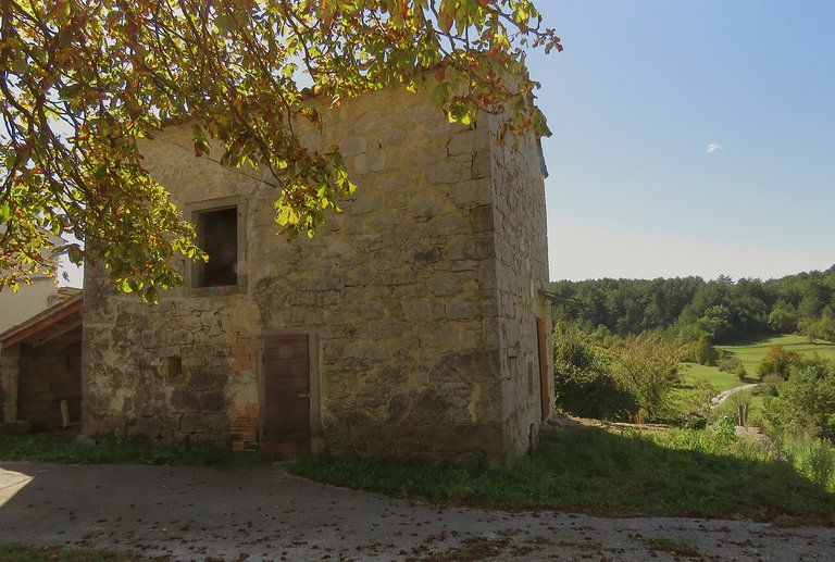
A bit further, I stopped in the small settlement ...
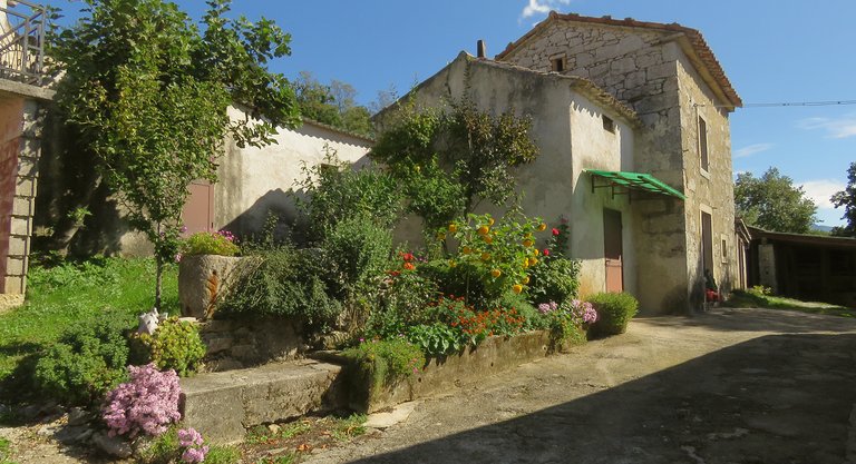
... with only a couple of houses.
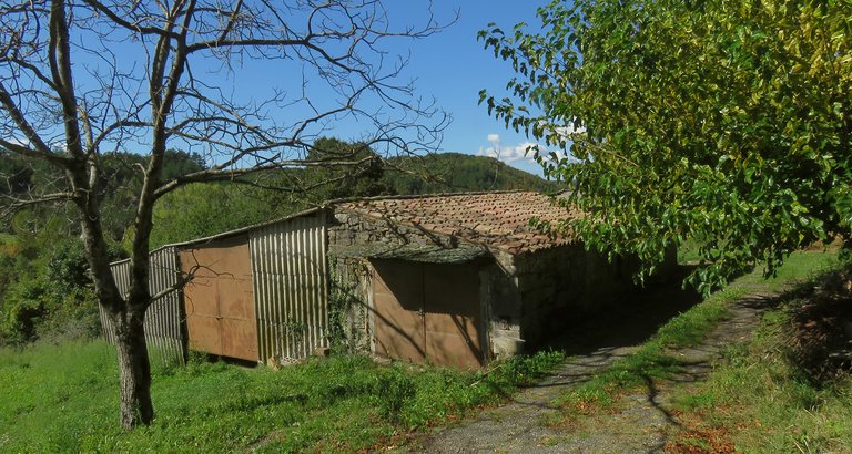
I don't remember the name of the place.
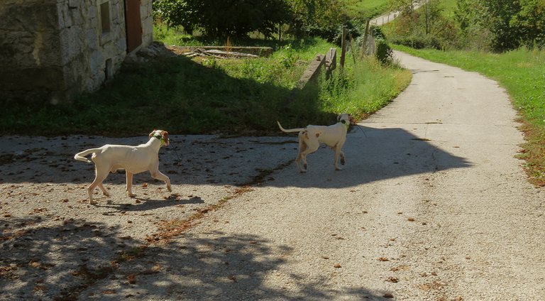
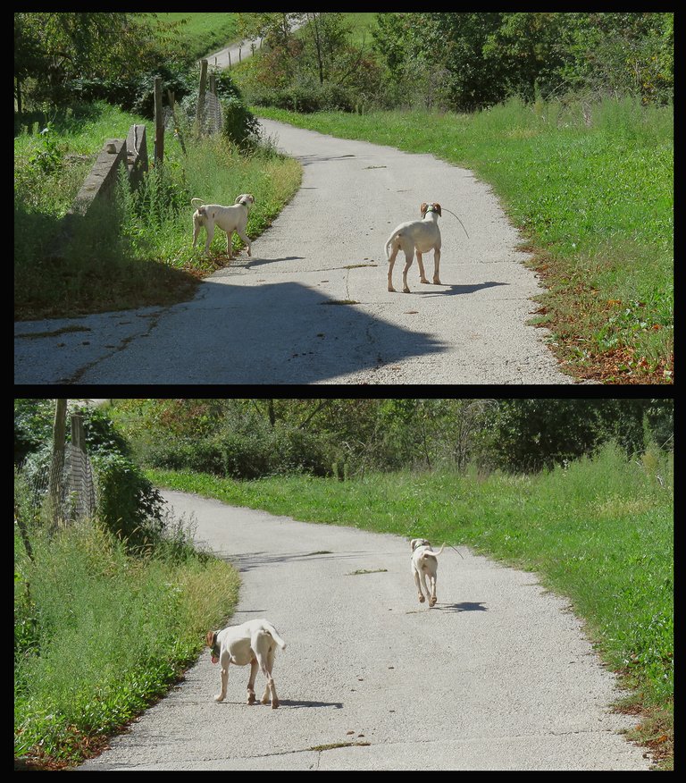
While I was photographing the houses, two dogs arrived from the surrounding forest.
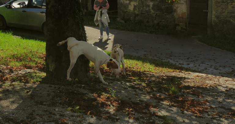
They stopped to mark the chestnut tree on the small square in between the houses and the road ...
... and then the two continued downhill.
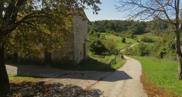
Here you can take a good look at the road on which I was soon driving again, directed towards Hum.
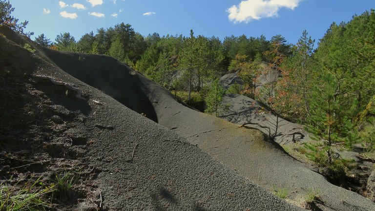
This photograph was taken some minutes later ...
... 2 or 3 kilometers further ...
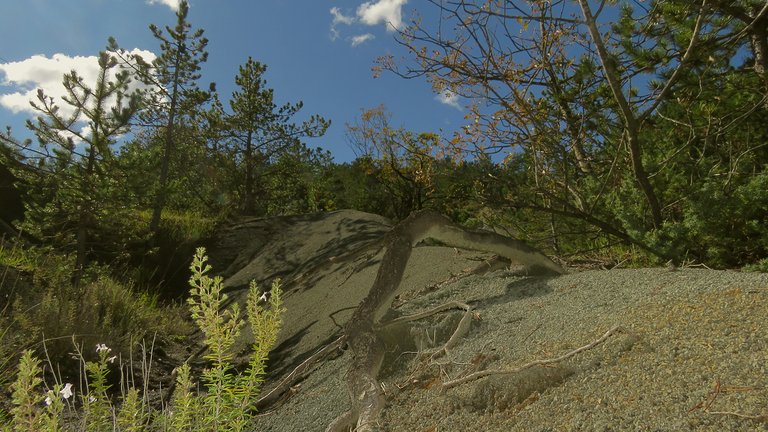
... when I stopped to explore another interesting area.
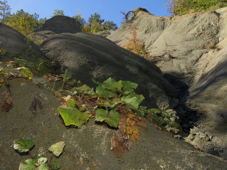
Here the vegetation is sparse ...
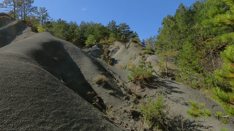
... the grayish clay soil is exposed ...
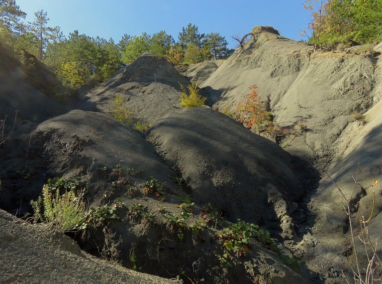
... and the erosion creates some pretty cool shapes.
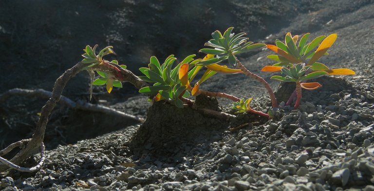
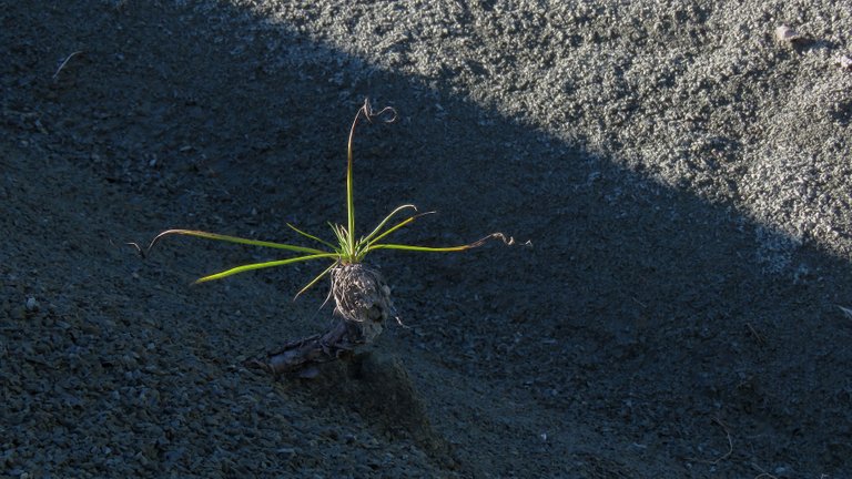
The plant in this photograph, Euphorbia nicaeensis, grows in my area too, but in this environment looks kind of exotic.
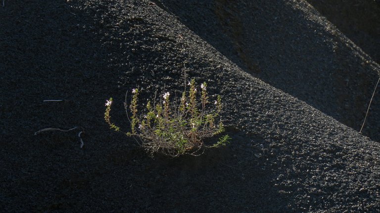
Here you can see the Thymus vulgaris, another plant that can easily be found around my hometown, but the atmosphere in this photograph is far from usual for me.
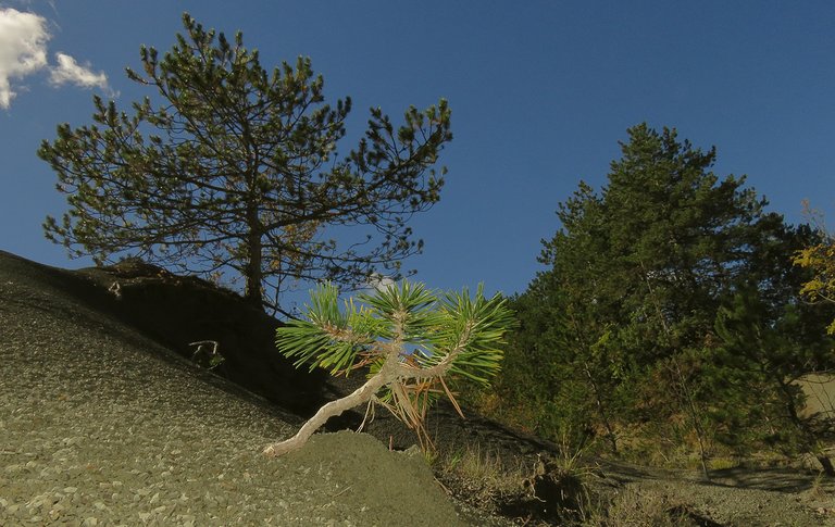
While I was photographing the plants ...
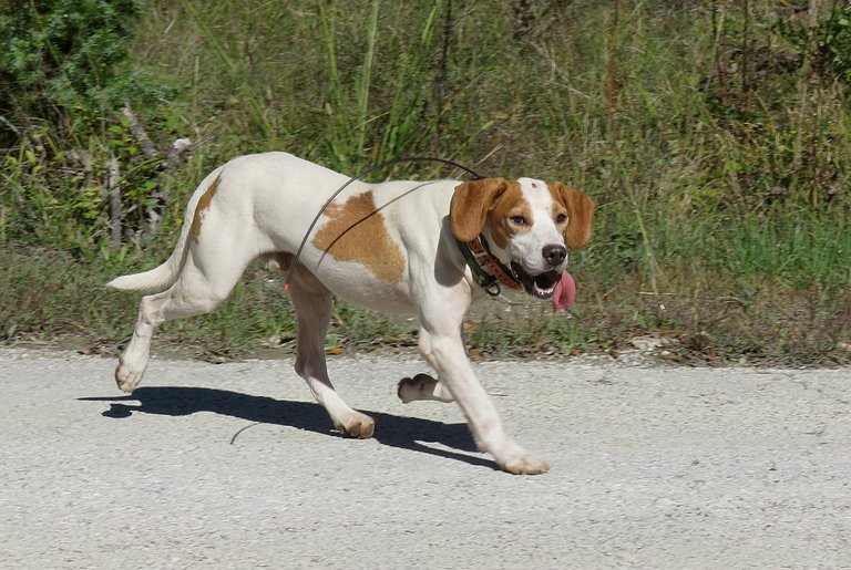
... another dog appeared on the road.
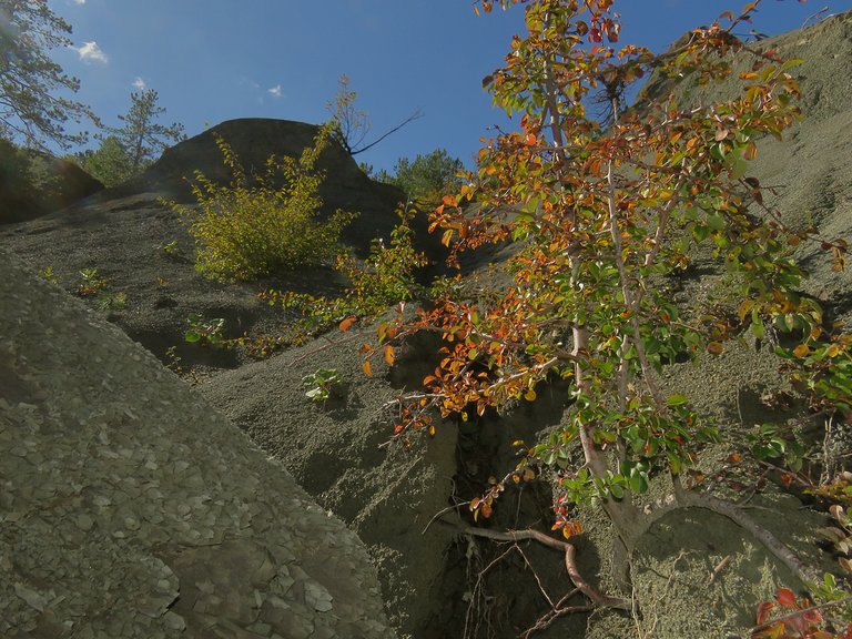
Although most, or practically all the vegetation was green, the foliage on some deciduous shrubs and small trees has started the autumnal change.
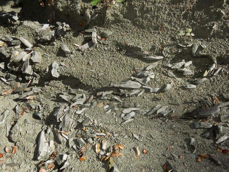
Here you can see some rock fragments that are protruding from the soil.
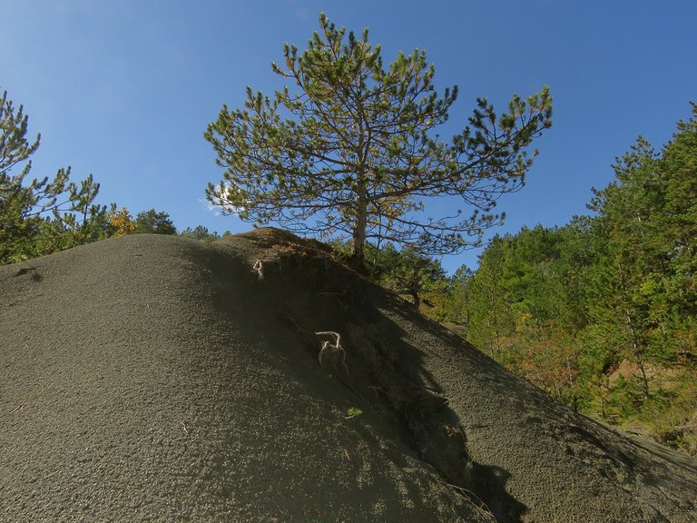
After taking this photograph I sat in the car and continued towards Hum.
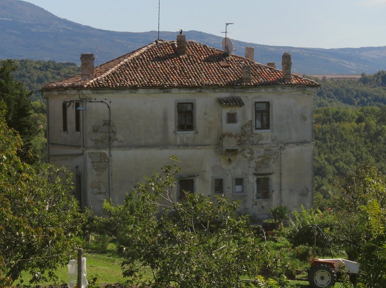
This is the only Hum's building situated outside the walls of the medieval town. It was built in 1892 and was an Italian school. The Croatian school was a small house in the old center.
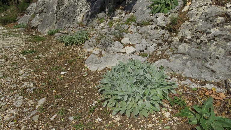
I parked about 50 meters from town, near the cemetery. Here you can see some plants and the rocky terrain near the pretty large parking paved with gravel.
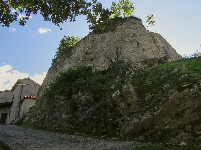
Here I'm walking uphill, towards the core of the town. You can see part of the old wall in this photograph.
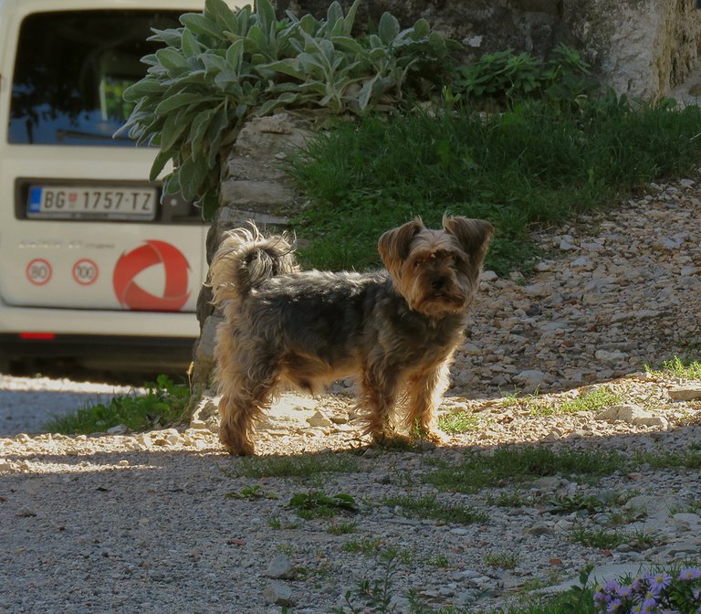
Soon I encountered this small dog and said " Hello, what's up"
The dog started barking and soon ran to hide in the nearest house.
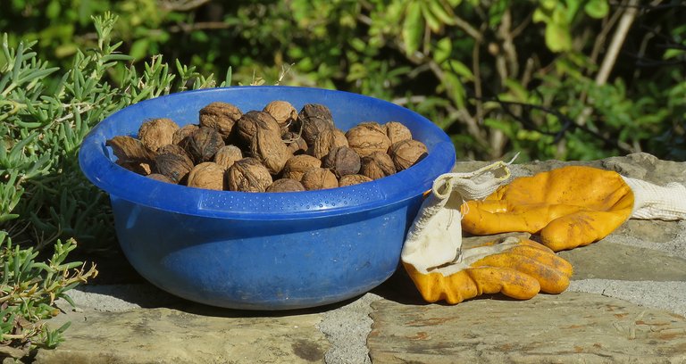
A bit further I came across these walnuts that someone left on the wall.
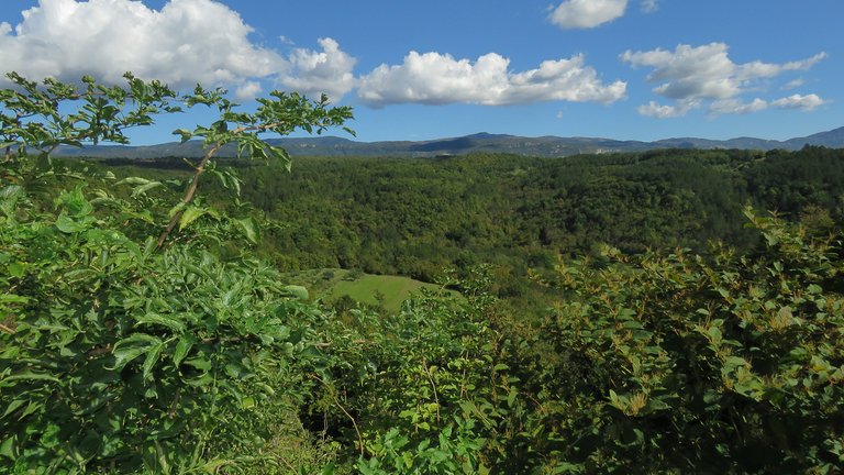
The view from here was great ...
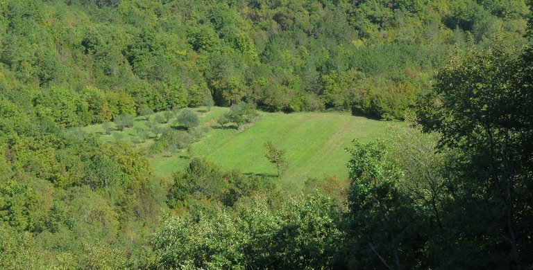
... so I stopped ...
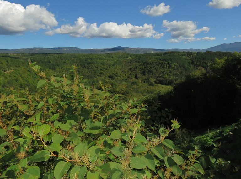
... to take a couple of scenic shots.
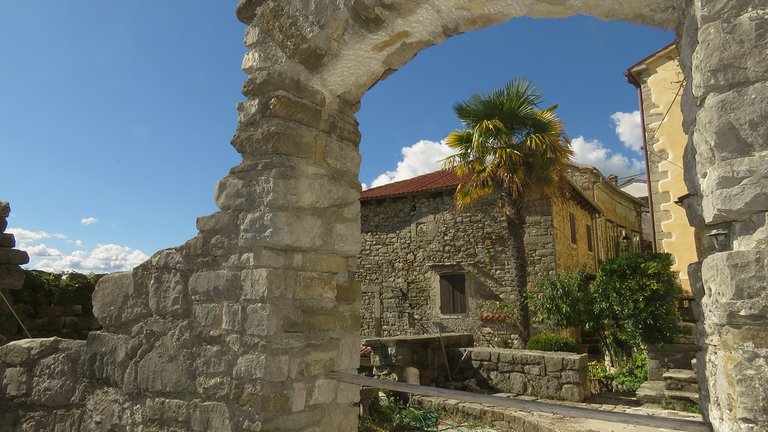
Here I moved my focus to the ruins ...
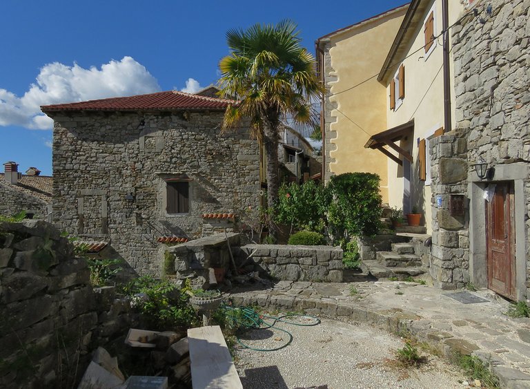
... and houses on the hill.
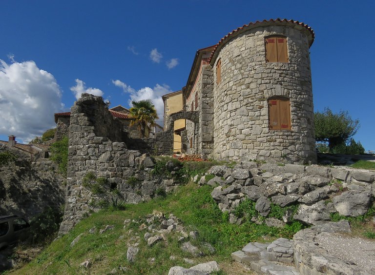
Here you can take a look at the beautifully renovated old house and some lovely ruins around it.
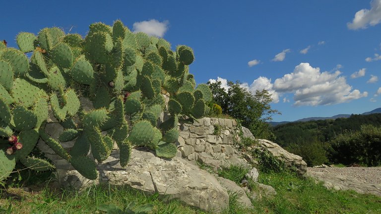
This Opuntia cactus grew some meters further, by the narrow road covered with gravel.
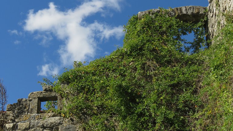
Here you can see the upper part of a ruin covered with climbing plants.
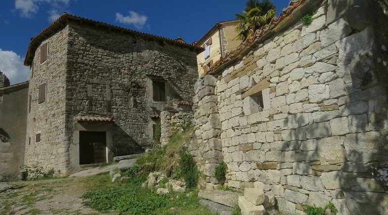
In this photograph, I'm entering the old core of this town.
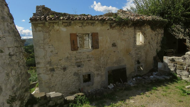
Here you can see an empty house with a hole where once was the roof, but strangely the wooden blinds on one of the windows are still in good shape.
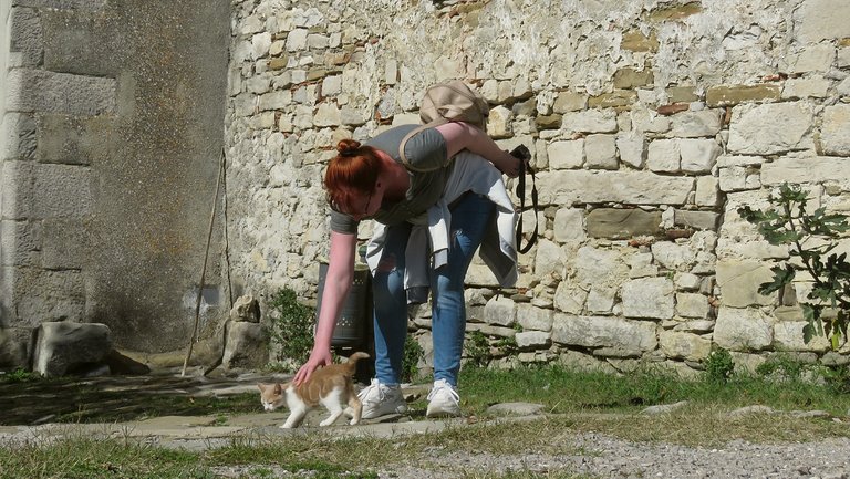
Here you can see a friend that was there with me.
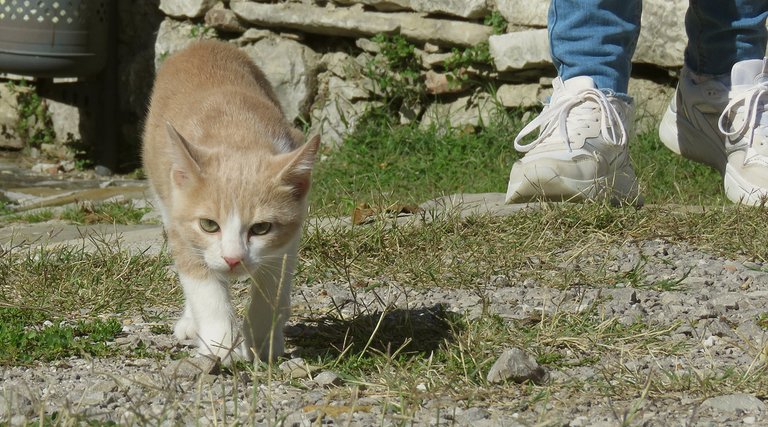
A small cat came to greet us.
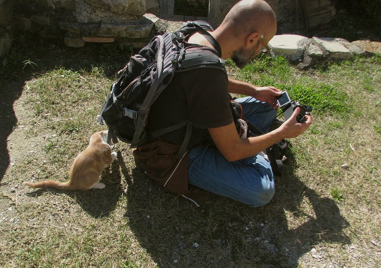
I sat down to take a rest and delete some obsolete shots.
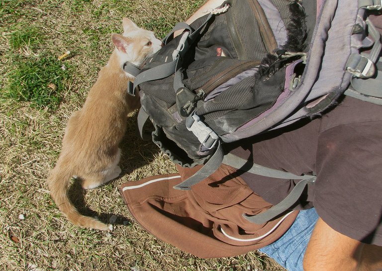
Meanwhile, behind my back ...
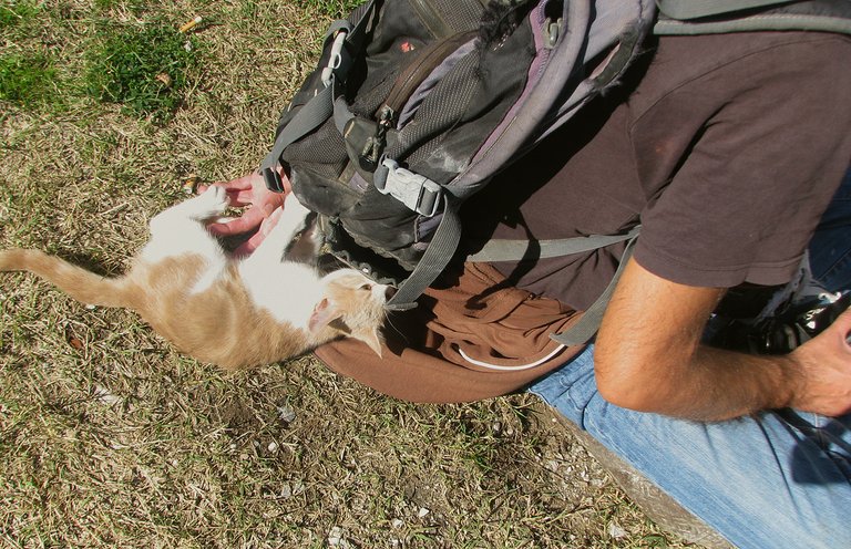
... the cat was having fun with my backpack.
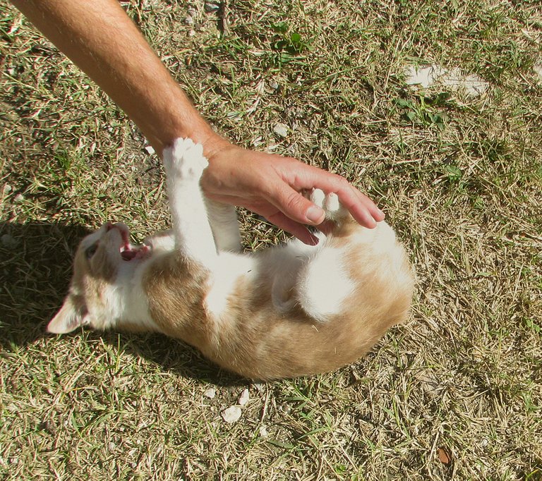
This was the funniest encounter of that day.
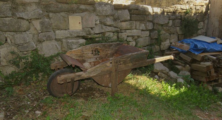
A bit further ...
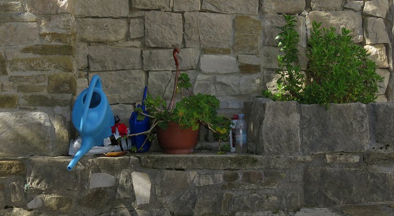
... I came across some basic gardening equipment, nicely arranged by the stone wall.
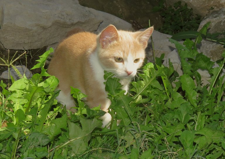
The cat followed me.
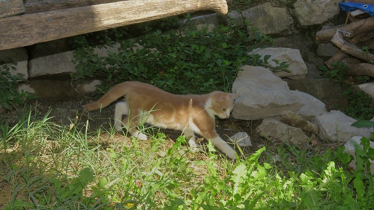
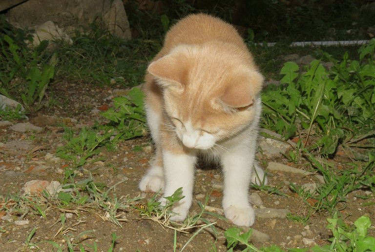
Here she found something else to play with.
If you enlarge this enlargeable photograph by clicking on it, you may notice a black and yellow insect near the cat's paw. The kitten has caught a wasp this time.
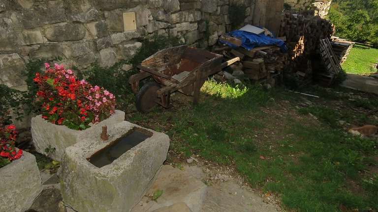
Here you can take a wider look at that lovely little corner surrounded by old houses.
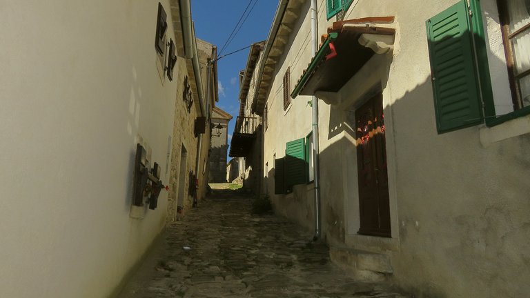
This old path in between two lines of houses, narrow and paved with stones, is the main street of the small medieval town.
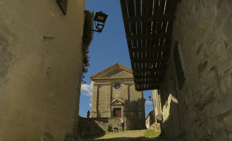
It leads to the small square and the church at the top of the hill.
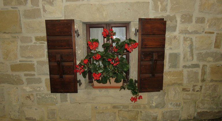
This window belongs to one of the houses on that micro - avenue.
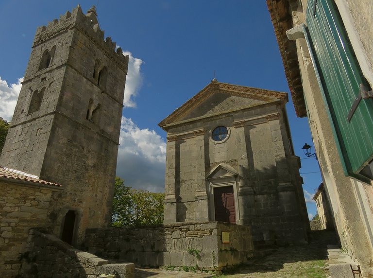
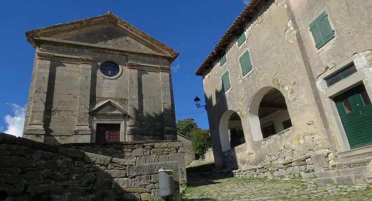
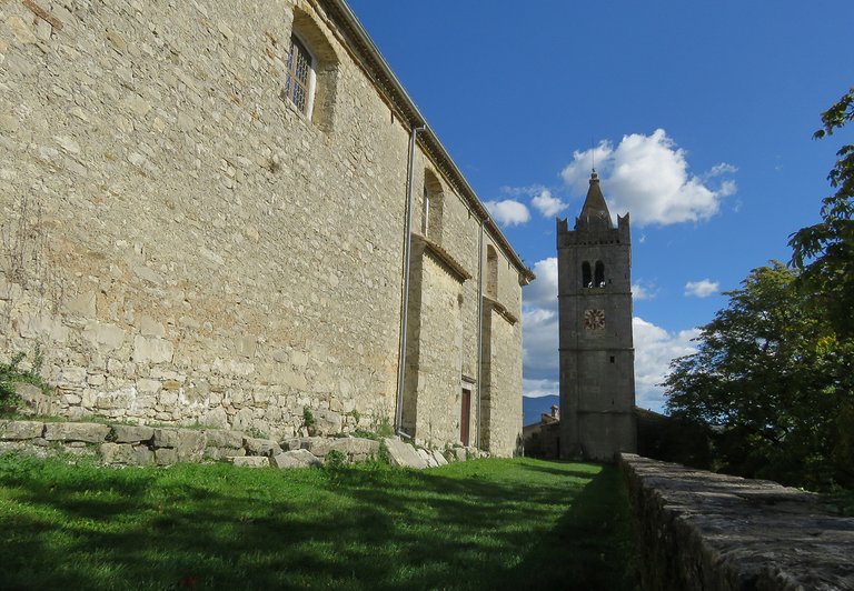
I almost reached the church here. The church of the Assumption of the Virgin Mary with its neoclassicist facade was built in 1802 in the place where once stood a smaller church from the 13th century, which was also considerably changed in the first years of the 17th century. Some older elements can be seen in the church's interior. The tower, incorporated in the defensive wall, is here since 1552 and wasn't changed through centuries.
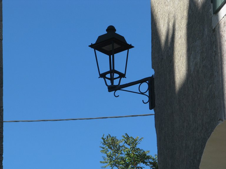
This is a detail from one of the houses near the church.
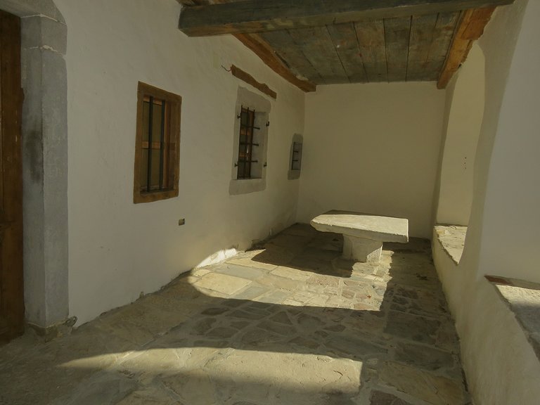
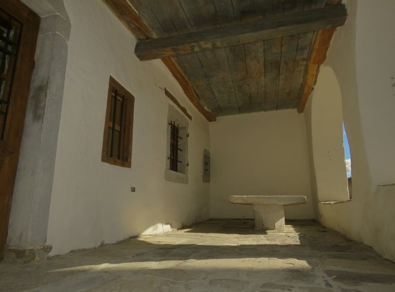
Here you can see the porch of that building.
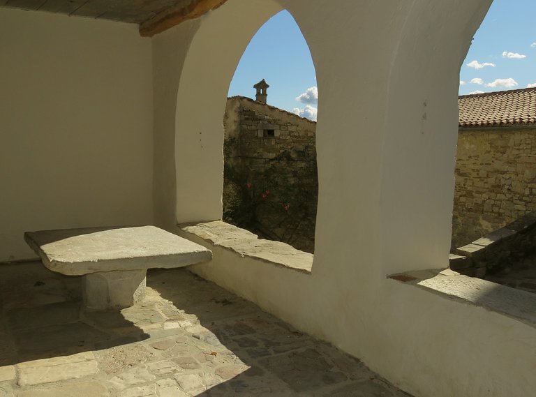
This was the town lodge in Medieval times, the public place made for trade, business, and important reunions. The place was sunny when I took the first photograph. As I continued shooting ...
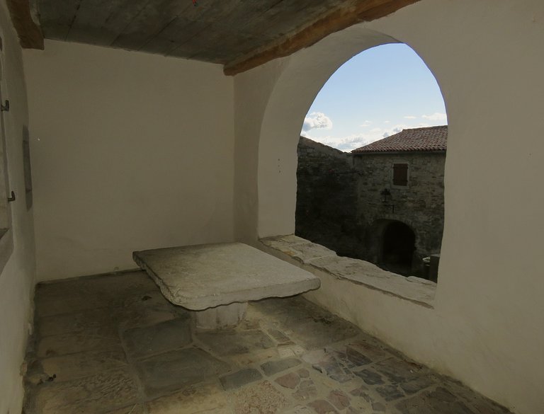
... one of the many fluffy clouds that were floating in the sky on that warm October day ended up in front of the sun ...
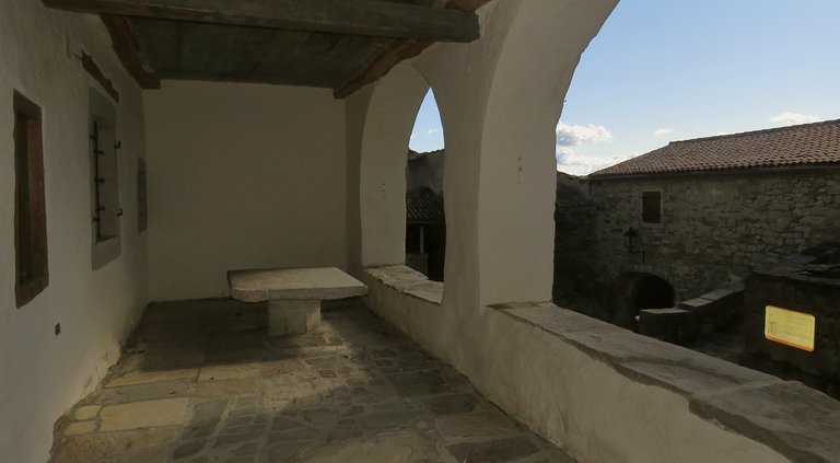
... and the atmosphere changed.
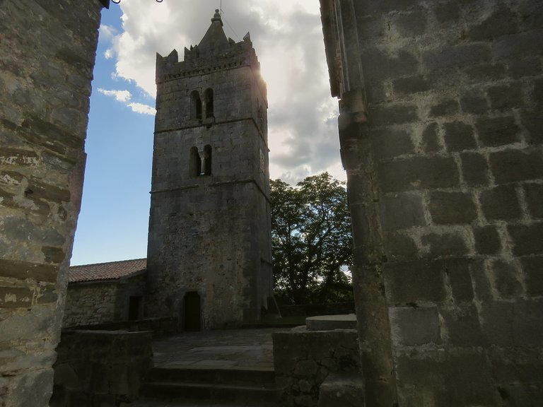
I was still on the porch when this photograph was taken. Here you can see the tower and those clouds that were lowering the intensity of the sun.
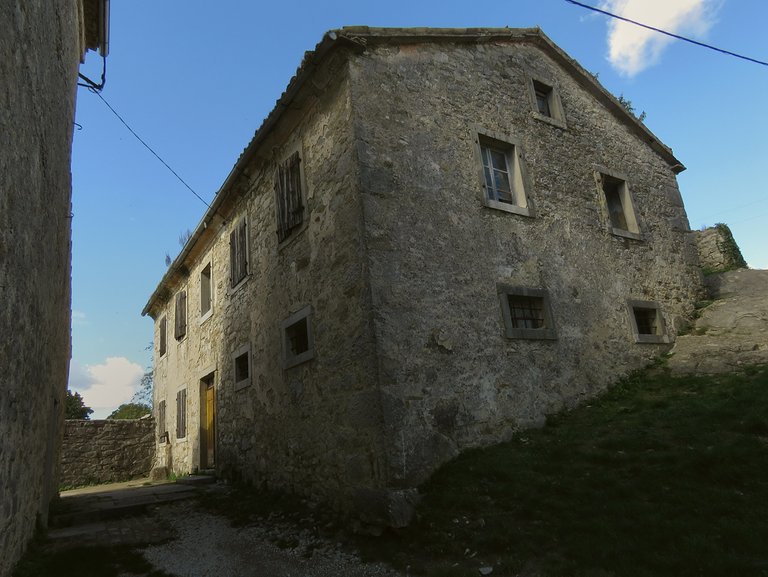
Here you can see the well-preserved old building behind the church.
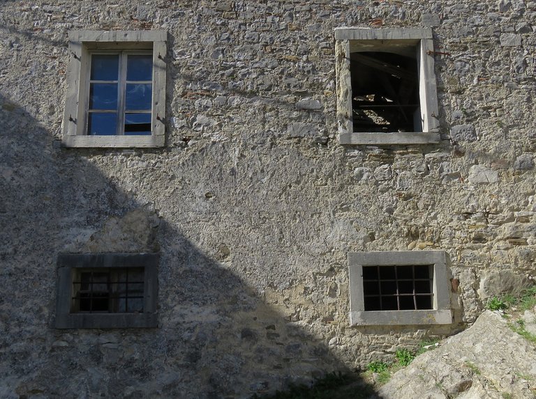
In this photograph, the focus is on the windows. Each one is slightly different.
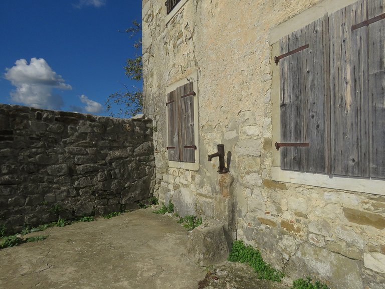
Here you can see the front of that pretty big house, while the following photograph ...
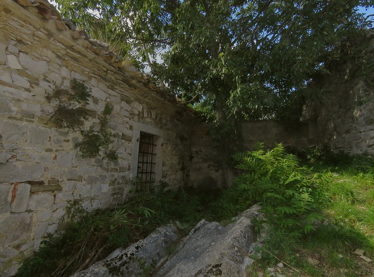
... is showing the area behind it.
Here you can take a look at the landscape that can be seen from that part of the old town.
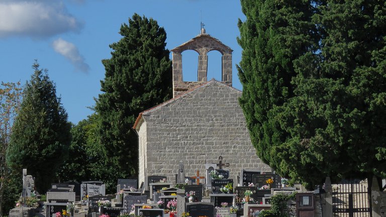
From here I could also see the cemetery and the Chapel of Saint Jerome from the 13th century.
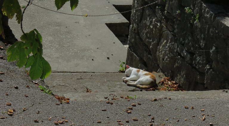
Closer to me, on the stairs that lead out of the old Hum ...
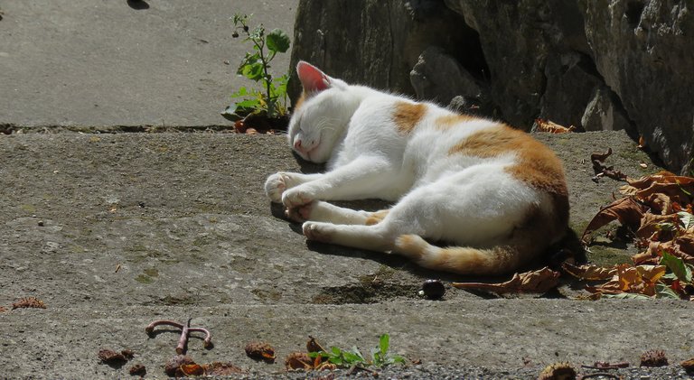
... a sleepy cat was basking in the sun.
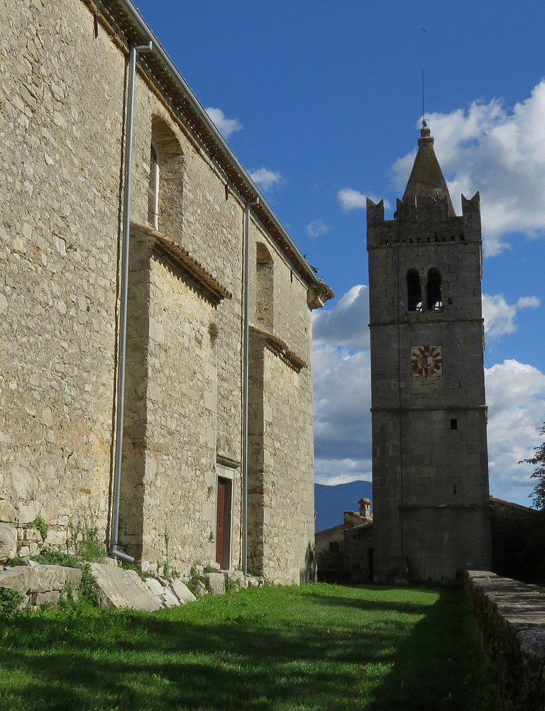
Here you can take a look at the tower and the biggest church in town from another angle.
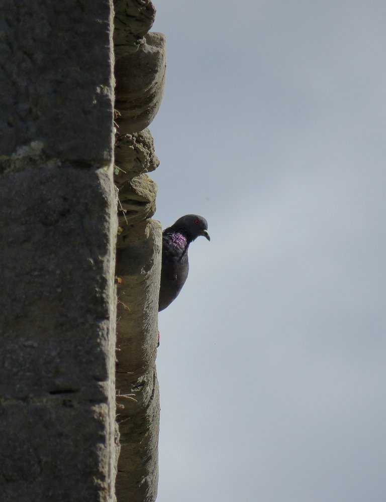
This pigeon was looking at me from the roof.
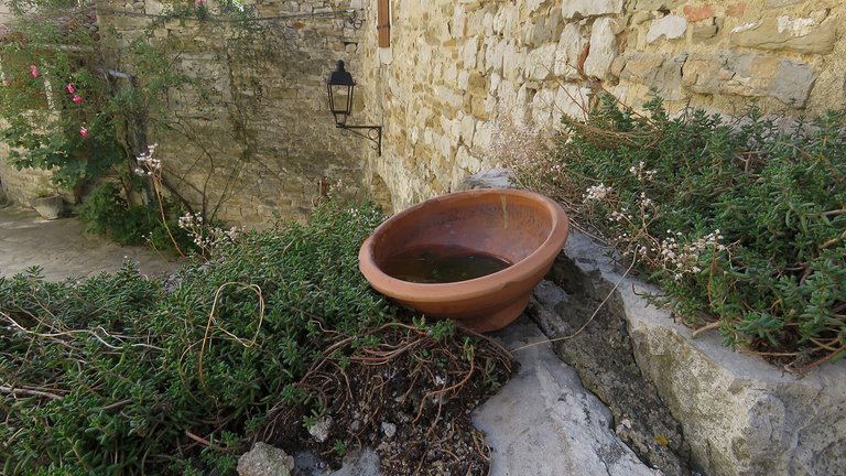
Here you can see a bowl on the wall near the tower.
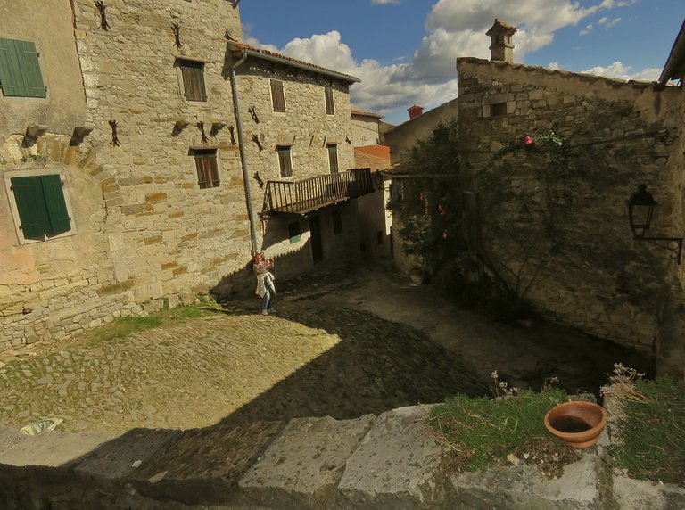
This is a wider, deeper view of the small square with the same bowl in the foreground.
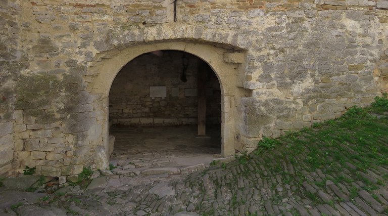
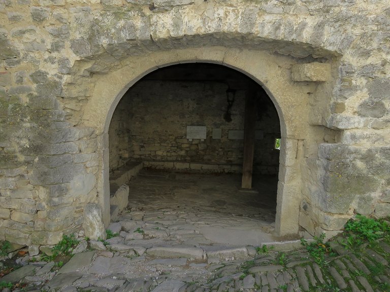
This is the main entrance in the defensive wall. I passed through it on my way out.
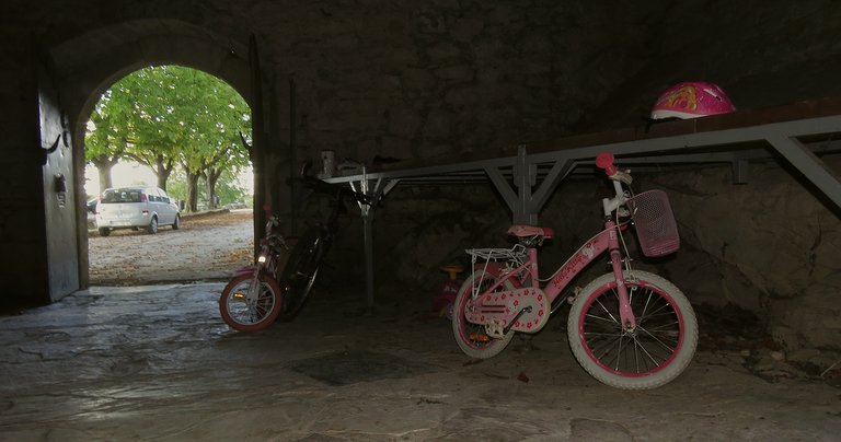
I entered the dark passage here. A pink children's bicycle was the last thing I expected to see when my eyes got used to the gloomy atmosphere.
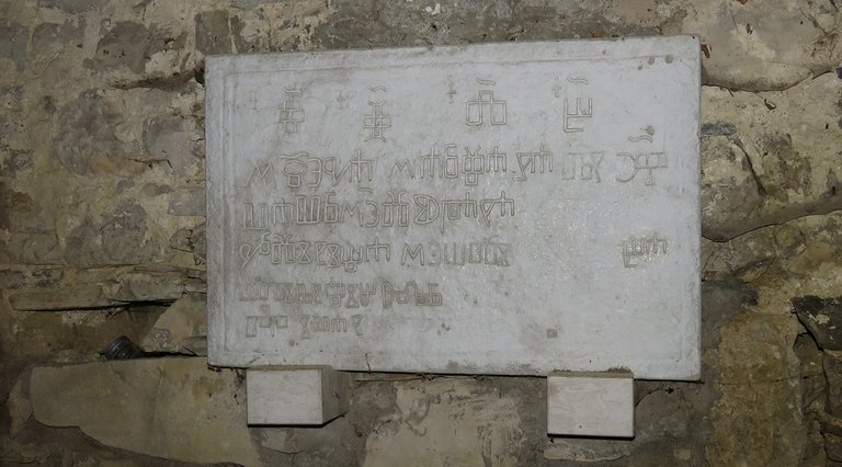
There was a heavy board made of stone attached to the wall.
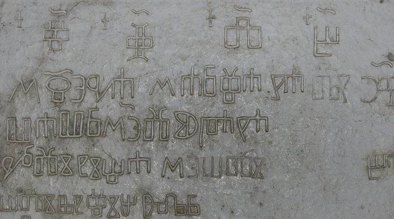
Some mysterious symbols were engraved on that thing.
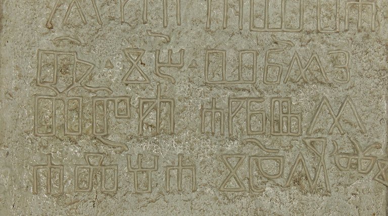
These are the letters of Glagoljica ( you can read it more or less Glagoljitza), the oldest known Slavic alphabet. It is generally agreed to have been created in the 9th century by Saint Cyril, a monk from Thessaloniki. He and his brother, Saint Methodius, were sent by the Byzantine Emperor Michael III in 863 to Great Moravia, the prevalently Slavic state in central Europe, to spread Christianity among the West Slavs in the area. The brothers decided to translate liturgical books into the contemporary Slavic language that the general population could understand. As the words of that language could not be easily written by using either the Greek or Latin alphabets, Cyril decided to invent a new script. Some decades later it was replaced by the new script that is still in use. It was called Cyrillic in honor of Saint Cyril, who with his brother invented the first Slavic script that gave a voice to that culture. Croatian people in this area maintained the use of the Glagolitic alphabet, at least partially, in their liturgical and administrative-legal texts until the 19th century.
Now you can find it written on monuments and souvenirs.
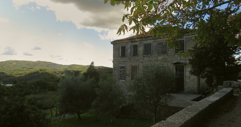
I was on the other side of the wall when this photograph was taken. Here you can see the front facade of the old Italian school.
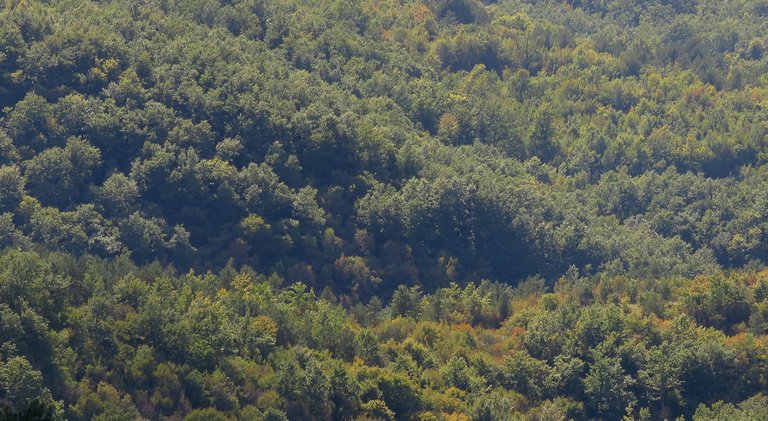
From there I could see the lush vegetation ...
... on the surrounding hills.
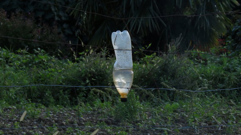
This bottle was mounted on the fence around the field not far from my parked car. I saw plenty of plastic bottles on that fence.
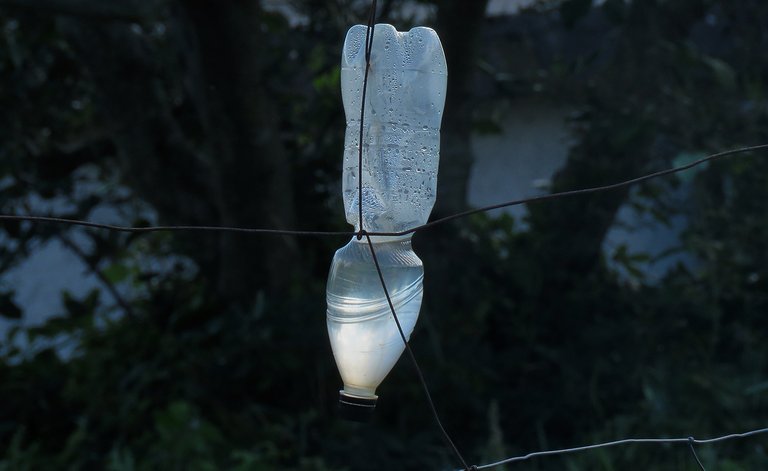
I don't know what were they doing there. But they looked fairly interesting and slightly intriguing. So I took a couple of shots before driving away.
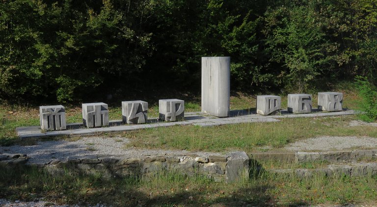
This photograph was taken a kilometer or so from the town. The sculptures represent some of the letters of the Glagolitic alphabet. Glagoljica is on the road again. This is part of the Glagolitic Alley ...
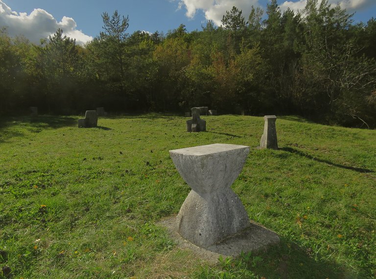
... a memorial composed of a string of eleven outdoor monuments on the road between two old medieval towns, Roch and Hum.
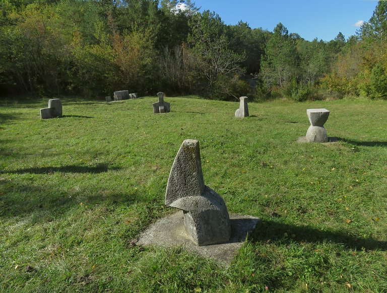
They were erected between 1977 and 1985.
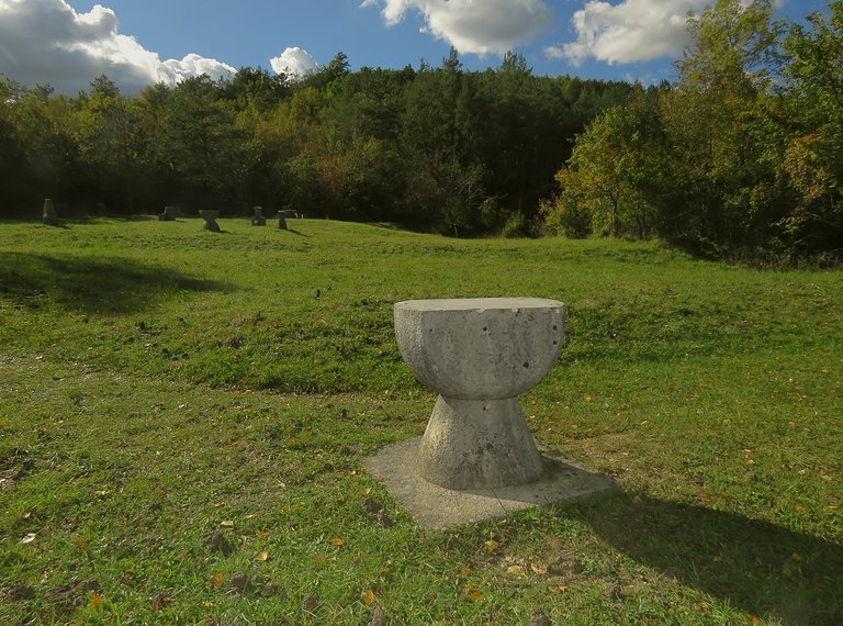
I visited only two Glagolitic stations on that trail.
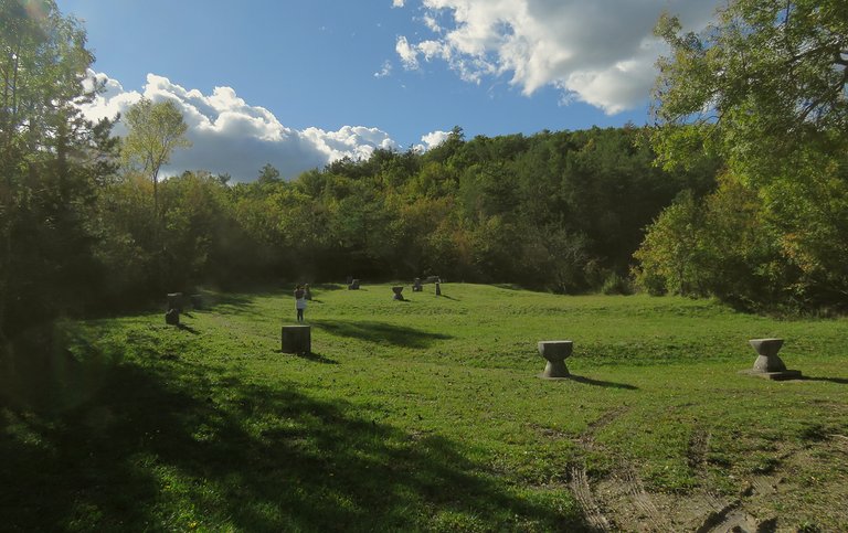
The first place shown in this series of shots is called "Resting place of Žakan Juri" (You can read it Zhakan or something like that) That doesn't mean that Žakan Juri was buried there, it means that this is the place where you can sit down and take a rest, and is named after the man called Juri. Very little is known about this man. He was a Žakan, which means an apprentice that has studied to became a Glagolitic priest and is known only from the last page of the manuscript "Missal of duke Novak" written and illuminated in the year 1368. In that text Juri, Žakan from the town Roch, enthusiastically announces the further progress of Croatian writing.
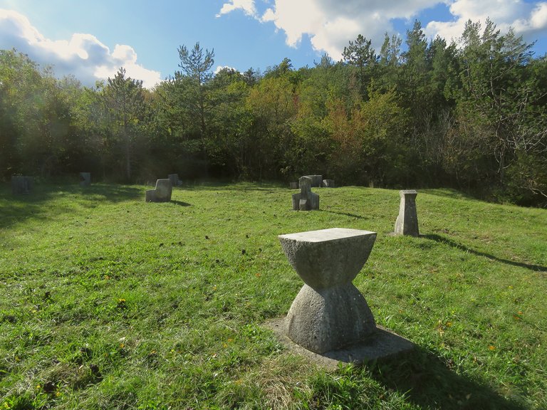
This cluster of Glagolitic sculptures is known as "Rise of the Istrian Demarcation". The Istrian Demarcation or Istrian Perambulation (Istarski Razvod in Croatian) is a legal document on the demarcation of territories between neighboring municipalities in Istra, currently shared by Croatia, Slovenia, and Italy. More precisely, between the possessions of the Patriarchate of Aquileia, the Count of Gorica and Pazin, and the representatives of the Venetian Republic. In addition to the borders that were being agreed upon only in disputed parts of Istria, the Istrian Demarcation also established the payment of fees for the use of forests, vineyards, and pastures.
Although the document gives a date of 1325, this is sometimes corrected to 1275 on the basis of other evidence.
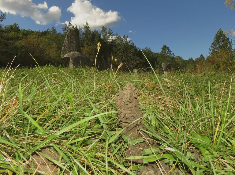
Near these human monuments, I found evidence of much smaller, but still kind of monumental structures made by other inhabitants of this planet.
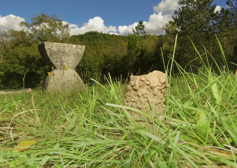
These lovely mud towers were made by pretty big earthworms.
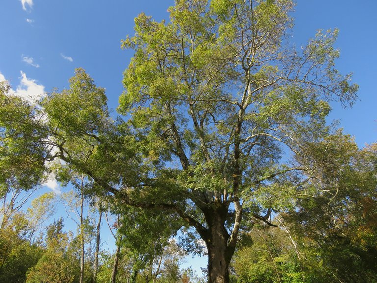
A beautiful oak tree is growing by the road, at the edge of the meadow with all those letters sculpted in stone.
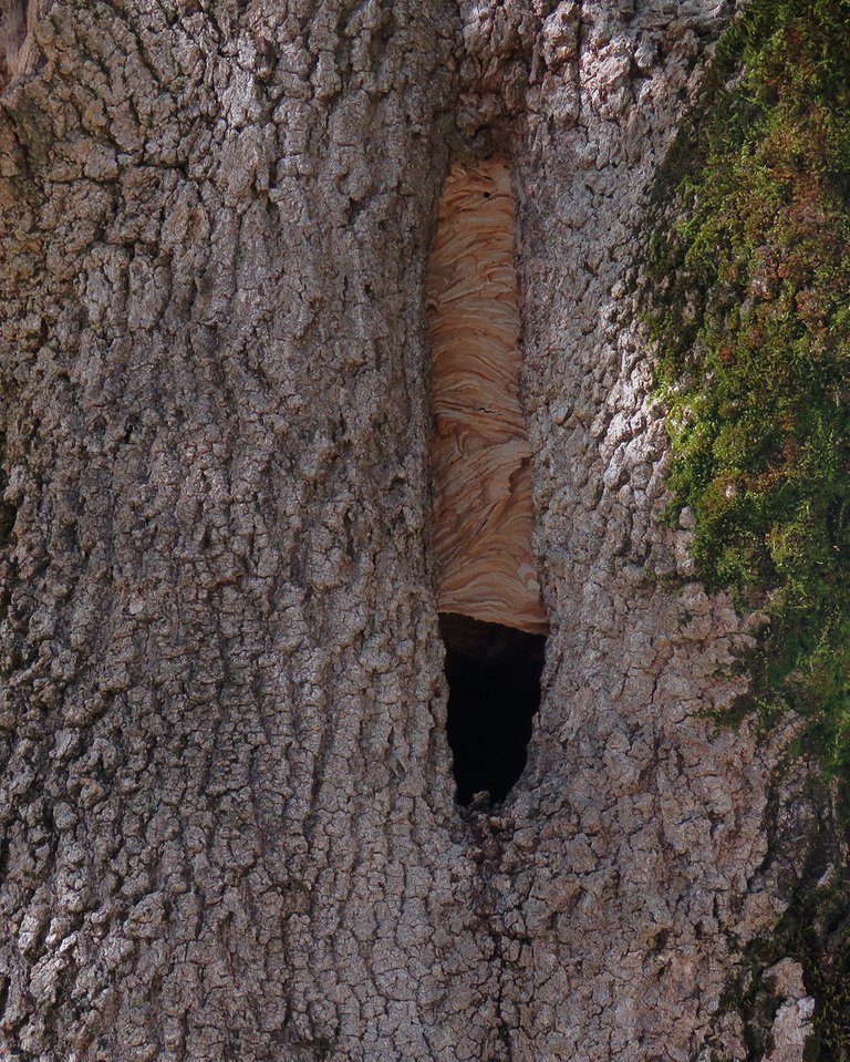
It has a hole in the middle of its trunk, and inside that hole, there is a hornet's nest.
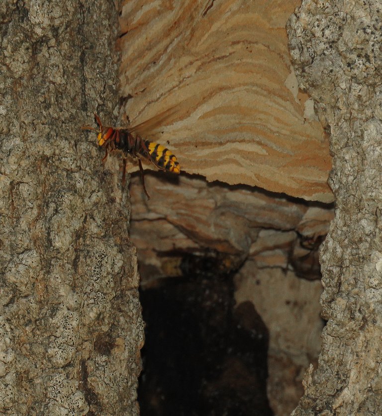
Here you can see one of the hornets that inhabit that nest. To get this photograph, I parked my car near the tree and then climbed on the roof of the car. The hole is pretty high in the trunk. After this funny rooftop shooting, it was time to drive away.
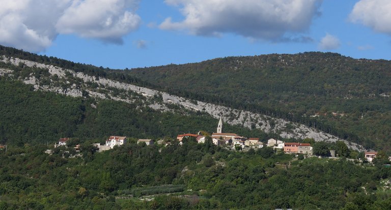
Some minutes later I stopped again ...
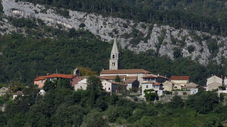
... to take a few more shots, with the focus on the town called Roch ...
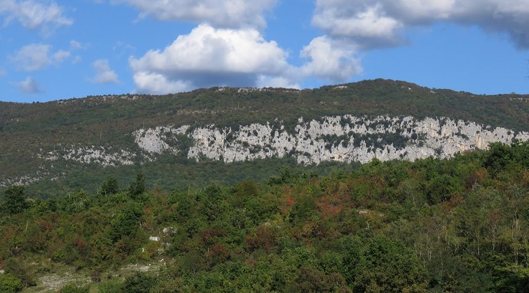
... and the stony landscape around it.
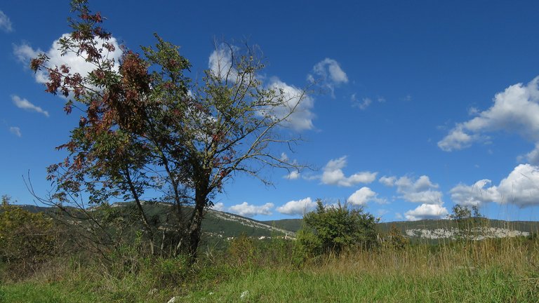
This is the wider view of the place. Roch is too distant and small to be seen in this photograph.
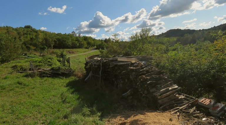
A pile of wood was stored nearby.
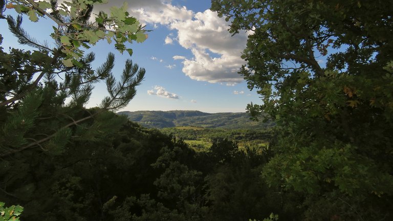
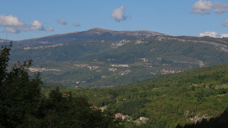
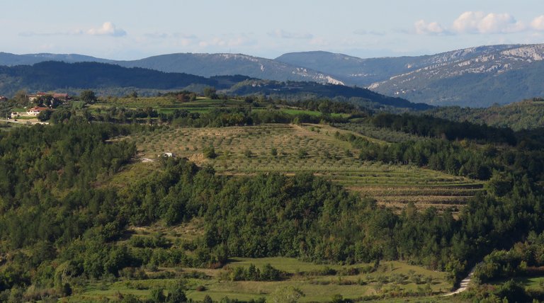
About 20 - 30 kilometers further, on the road that leads back home ...
... I stopped again ...
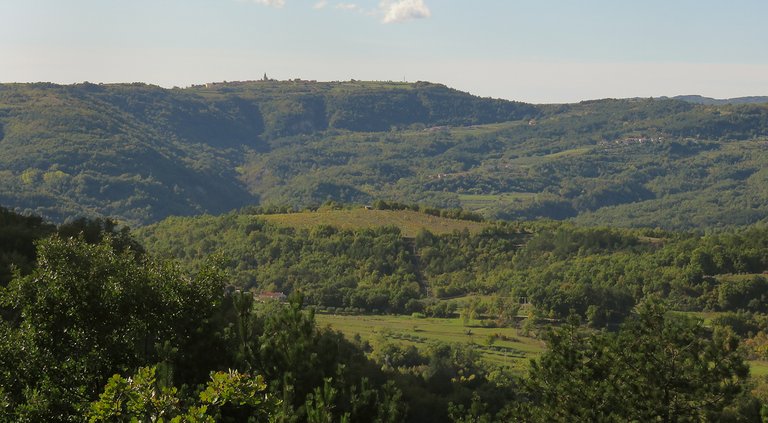
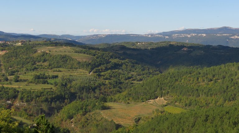
... to enjoy the view ...
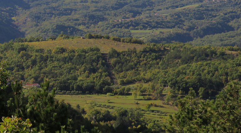
... and take a few more shots.
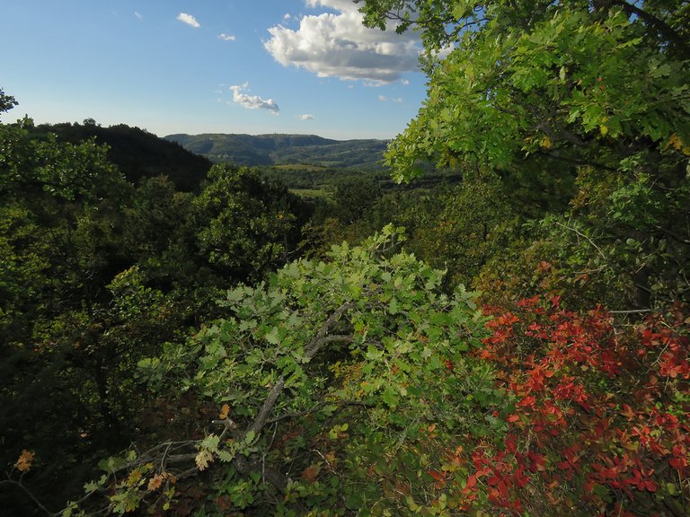
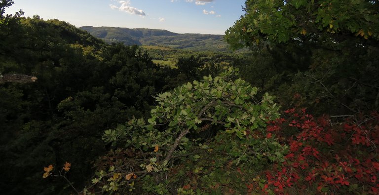
The vegetation was lush and green.
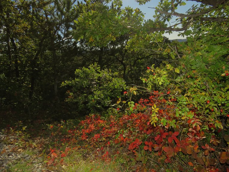
Only one plant was partially covered with vivid red leaves.
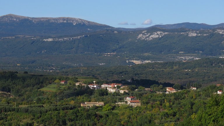
Ten or so kilometers further ...
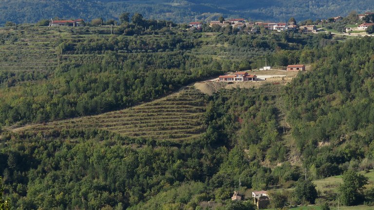
... I stopped again ...
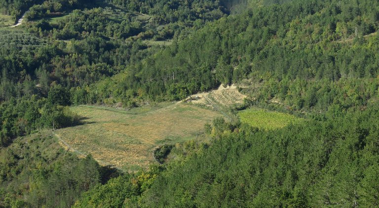
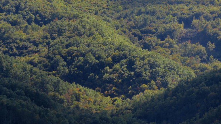
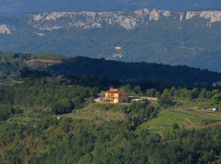
... to extract more details ...
... from the landscape around me.
I had a lot of fun ...
... zooming in ...
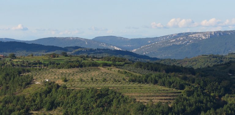
... and out ...
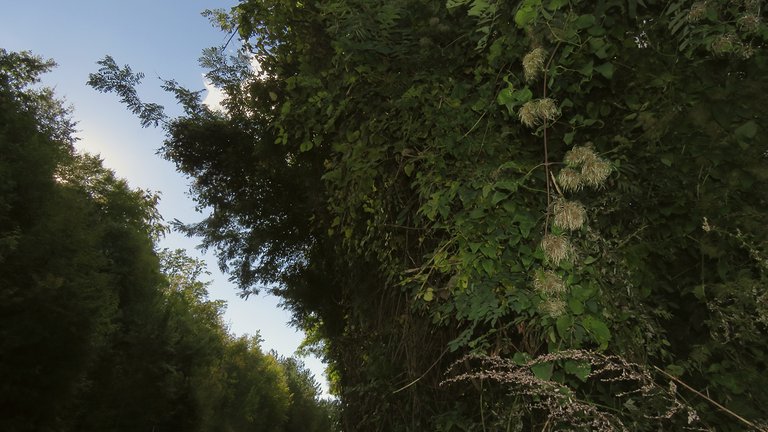
... before I entered the car and drove directly home.
AS ALWAYS IN THESE POSTS ON HIVE, THE PHOTOGRAPHS, EXCEPT THOSE FEW SHOTS WHERE I'M IN THE PICTURE, ARE MY WORK.


.png)