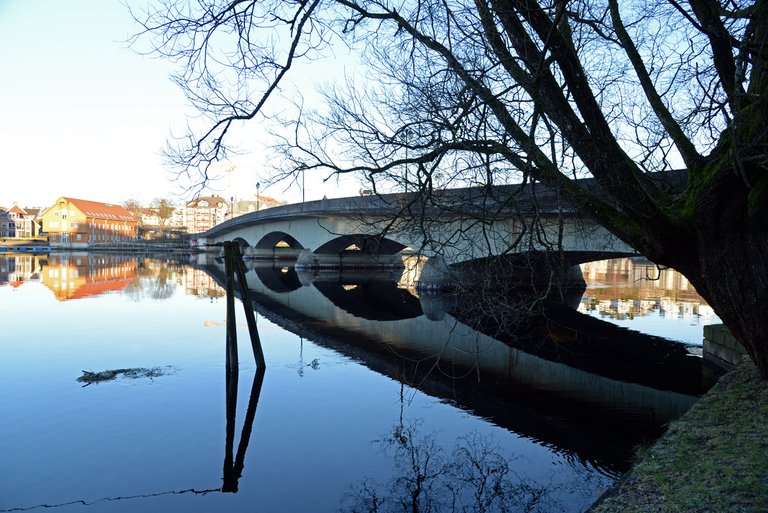
Lundsbroa is the oldest brige that crosses the Otra River and thus connects the districts with each other. The bridge's official name is "Thygeson's memory", a name it has been given after a famous person in the city. The current bridge was built in 1938. But there was a bridge built in 1810, which was the very first bridge. It was not located in the same place as the current bridge. It was located further out towards the mouth of the river. When it was completed, it was financed by tolls.
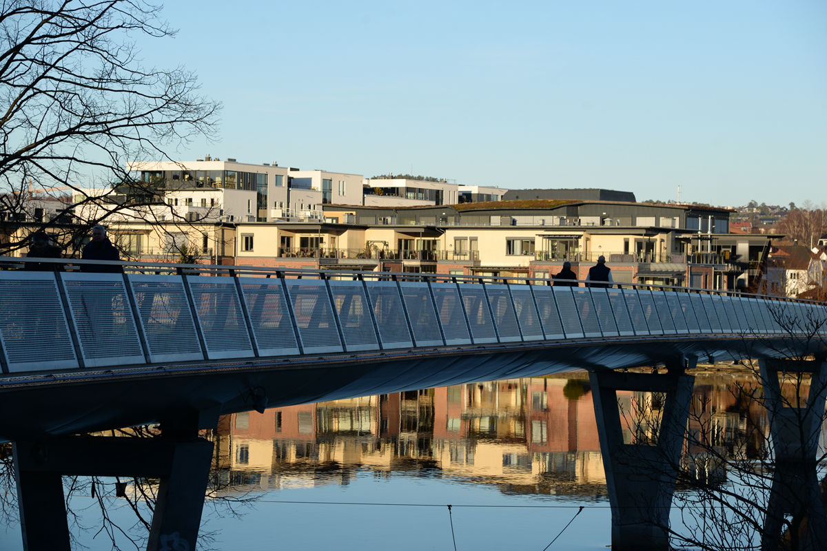
Christian Quartbroa is the newest addition to the bridges in our city. It was completed on December 17, 2020. Since I always walk on Lundsbroa on my way to the city and to work, I have been able to follow the construction. It is named after the city's founder, King Christian IV of Denmark and Norway (at that time Norway was under Denmark and thus we had to deal with the Danish king).
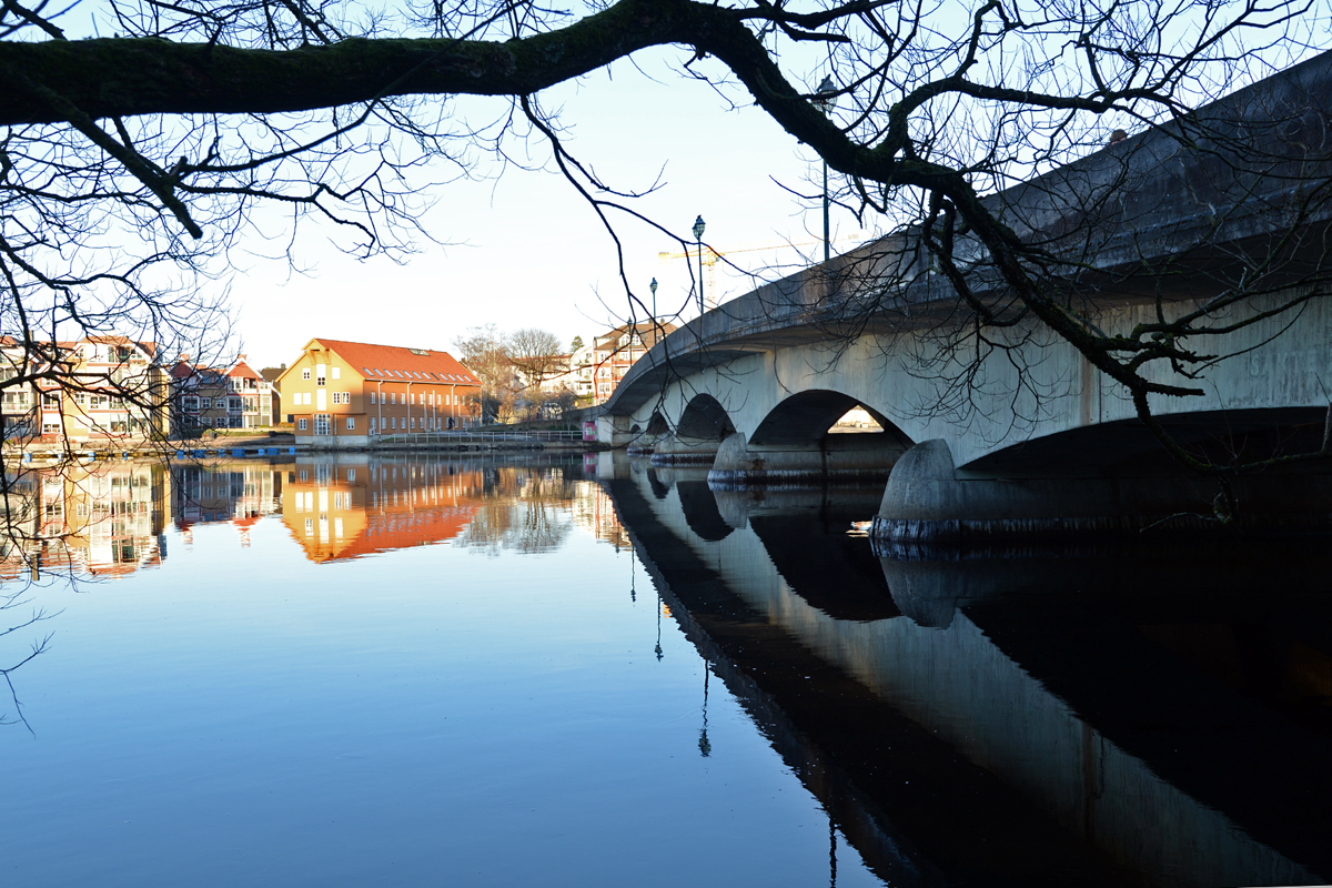
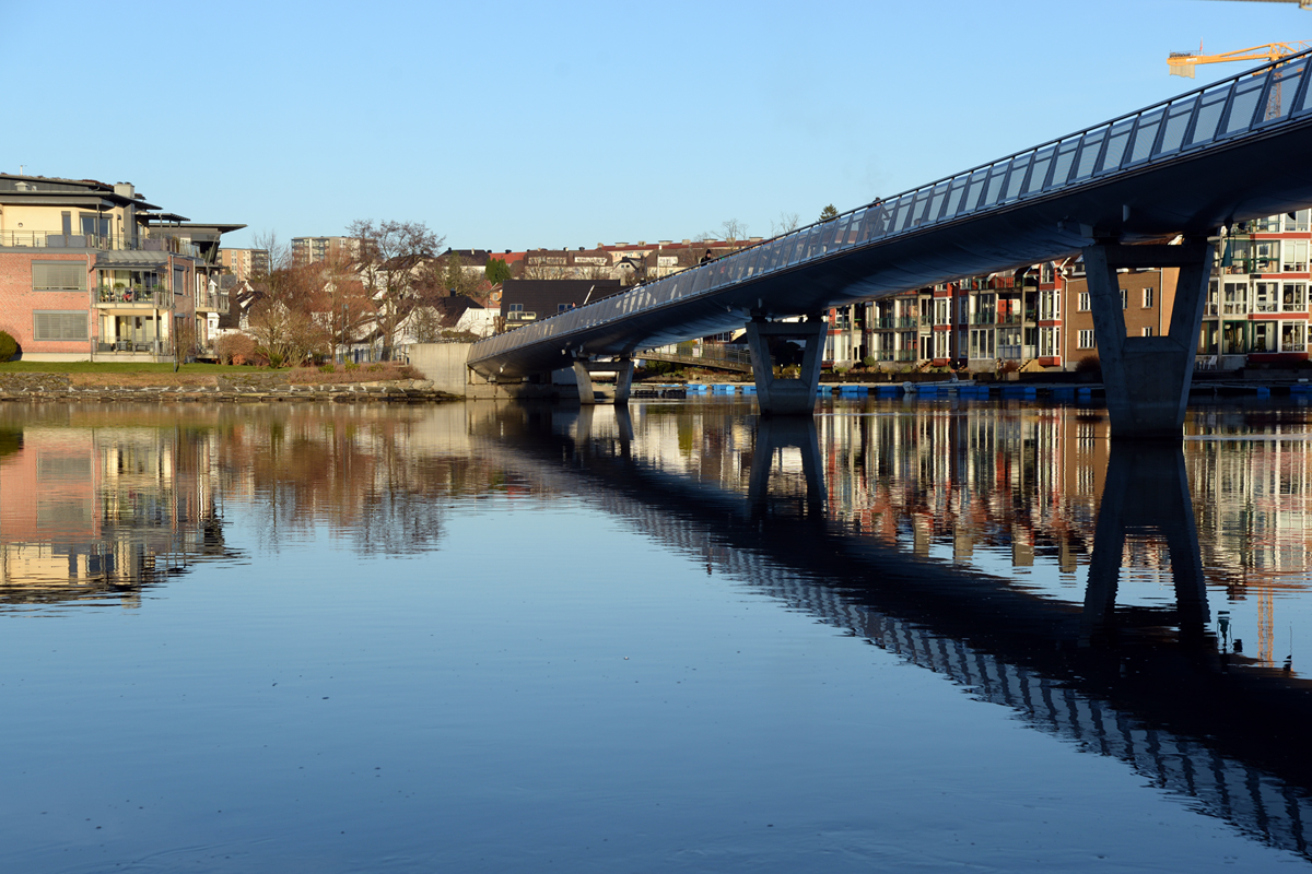
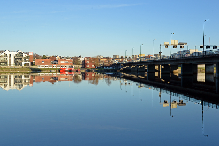
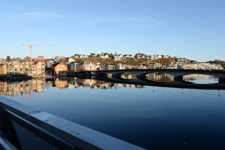 Looking towards Lundsbroa
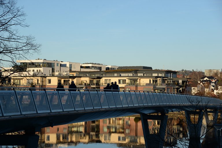
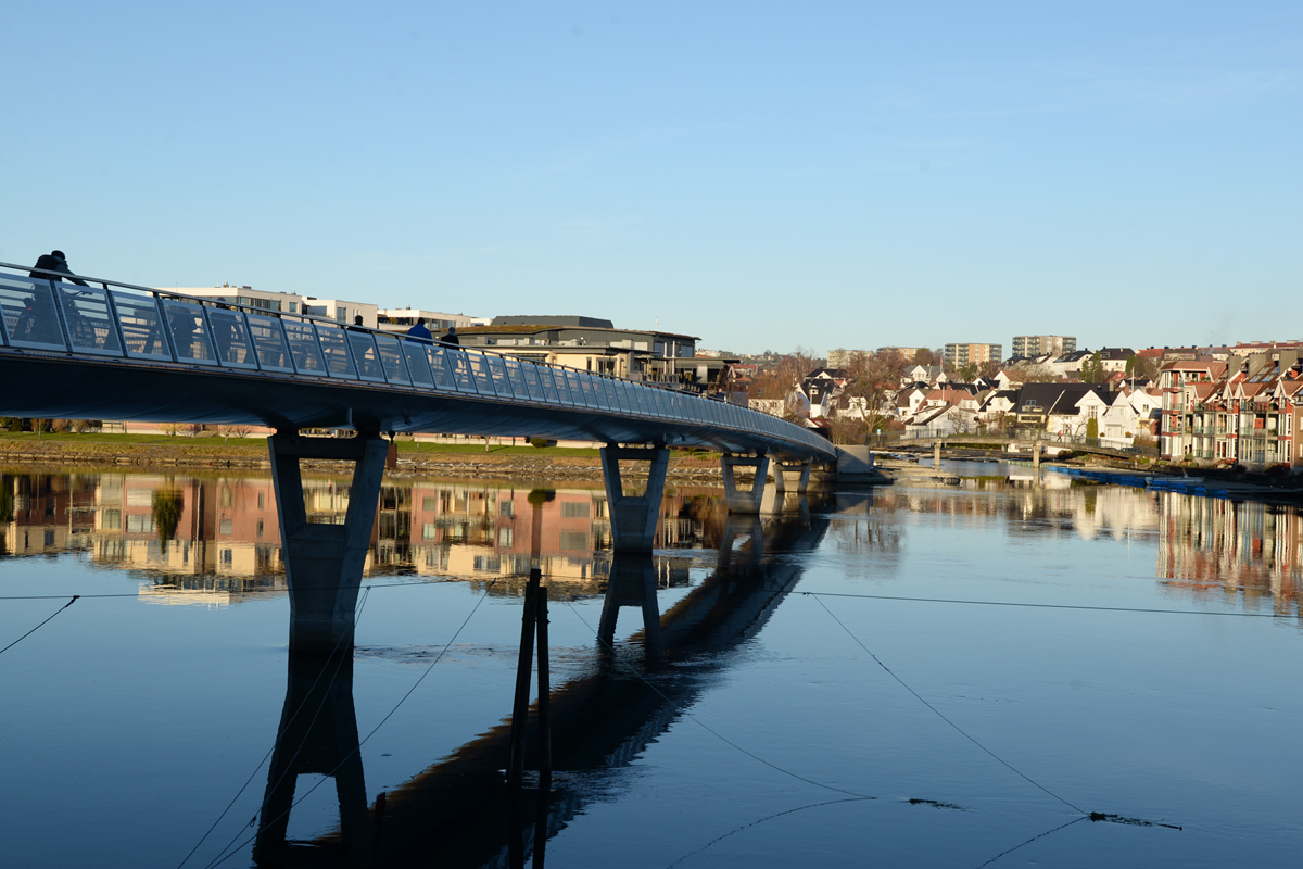
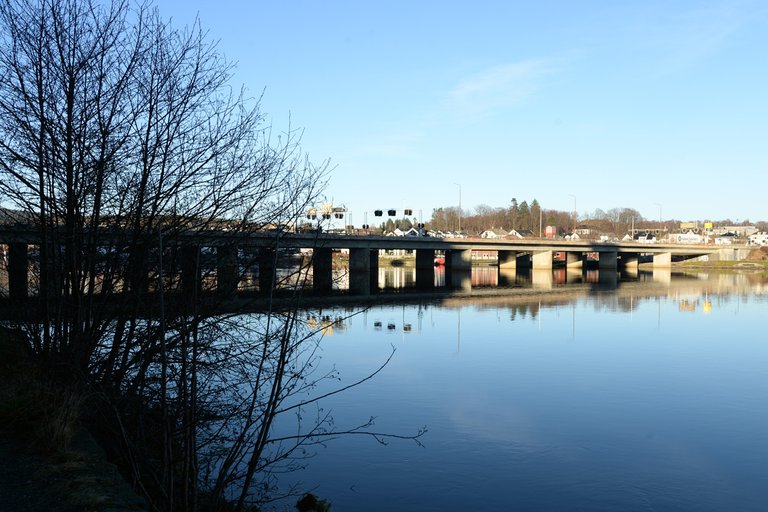
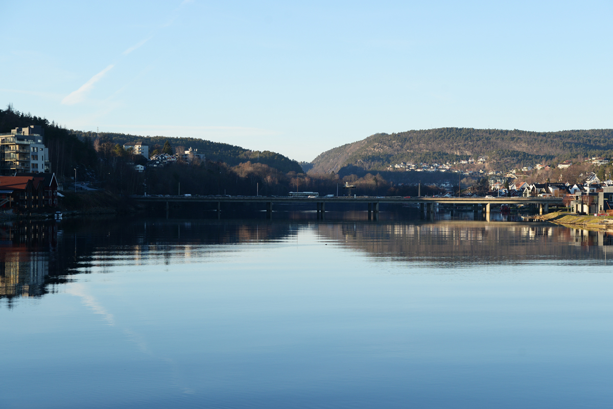 Looking towards Oddernesbroa
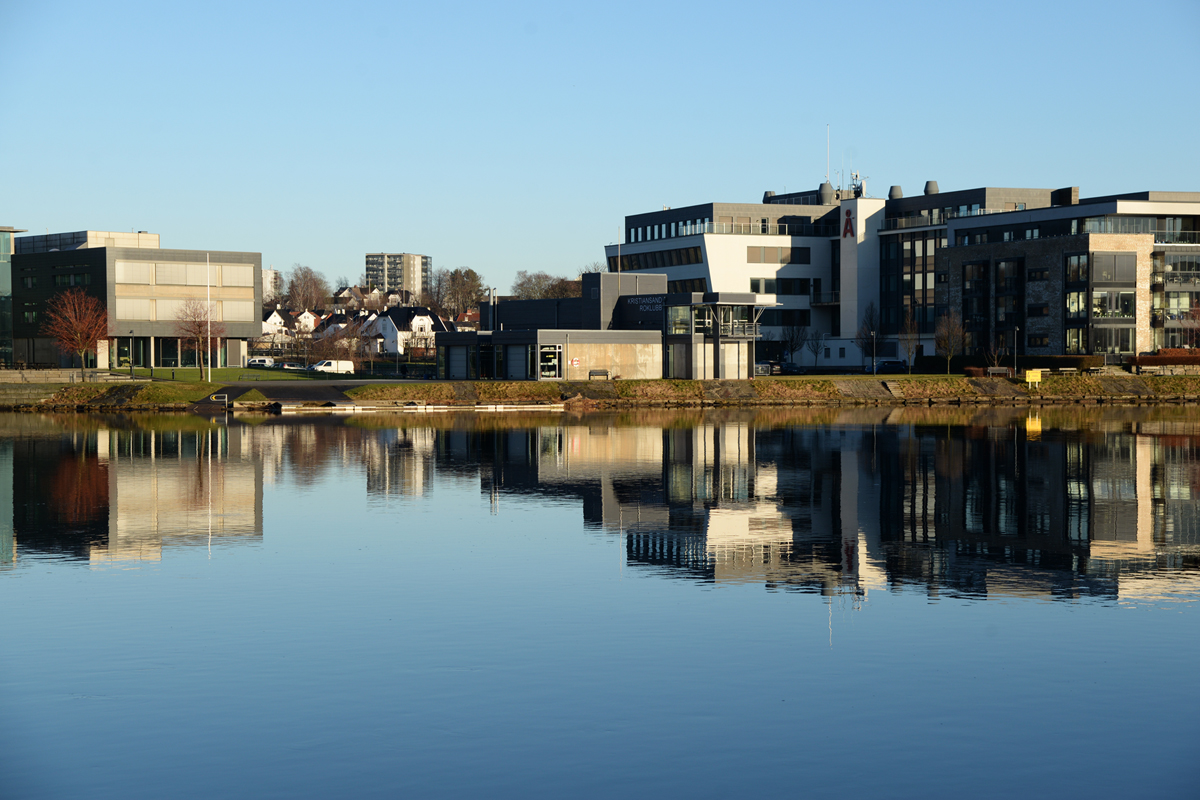
This bridge is a footbridge for pedestrians and cyclists going from to and from the city to the housing estates on the eastern bank of the river. The eastern ending point is on the island of Kjøita, which is actually an artificial island with buildings and commercial buildings. It is quite an attractive area with parks and green areas, along with the promenade along the river. But before this commercial park was built, there was a sawmill here, so there was easy access to timber that was floated on the Otra and down to the Kjøita Sawmill.
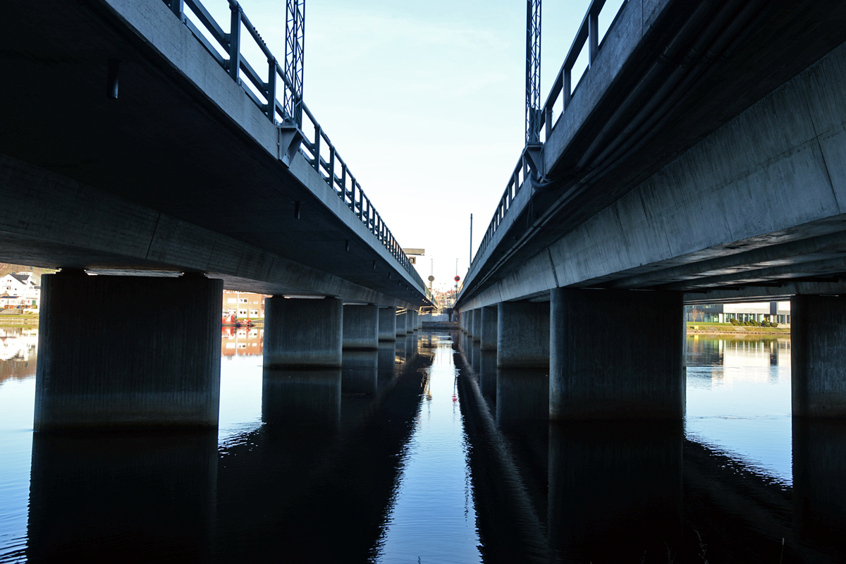
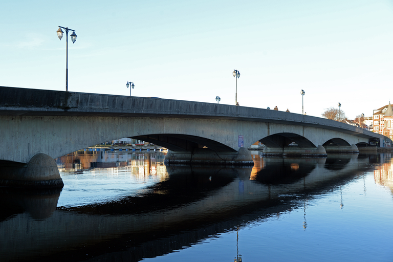
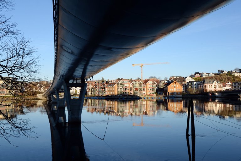
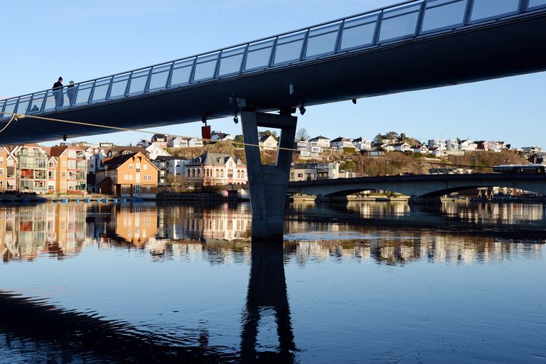
 Beneath the bridge
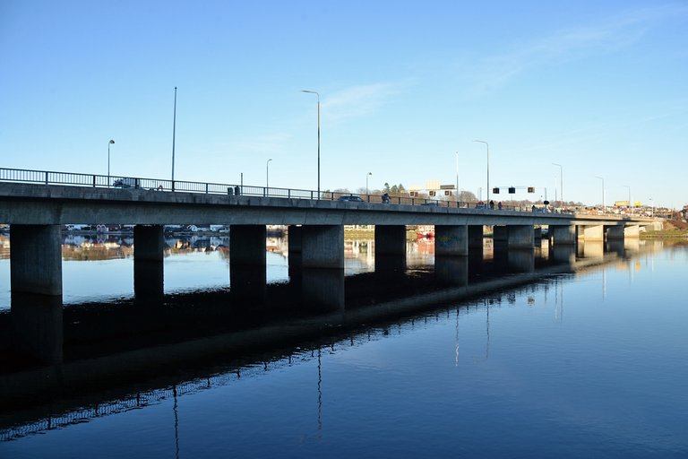
Oddernesbrua was built in the 1970s. This bridge is located a little further up the river, but no matter which bridge you stand on, you can see all of them. It was built in connection with the development and modernization of the main road through the city. Today this road goes through a tunnel and further through the city without going straight into the city center. In contrast to Lundsbroa that leads you straight into a busy city center. But at the place where the bridge stands today, there has been a ferry connection to Fergefjellet in ancient times. That is probably why the area got that name.
At this point I crossed the bridge and went home. I could have continued along the river into the forest. There are many trails that makes some good walks.
Source:
https://no.m.wikipedia.org/wiki/Lund_(Kristiansand)
Please do follow if you want to keep up with my next travel story. Any upvotes or reblogs are hugely appreciated!
Latest travel story, check out:
Kristiansand is on the New York Times list of 52 travel destinations in 2025
U.J
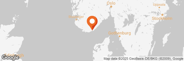
Kristiansand, Norway
All the photoes are mine, Ulla Jensen (flickr, Instagram and facebook)
[//]:# (!worldmappin 58.14992 lat 8.00574 long The three bridges in Kristiansand, Norway d3scr)Follow us for our street art contest and blogs about travel, art, photo, crypto & gaming