July 14, 2022
Another hidden paradise of Hong Kong was explored by my travel buddy and me one bright Sunday. An unforgettable place that I would like to visit again and again.
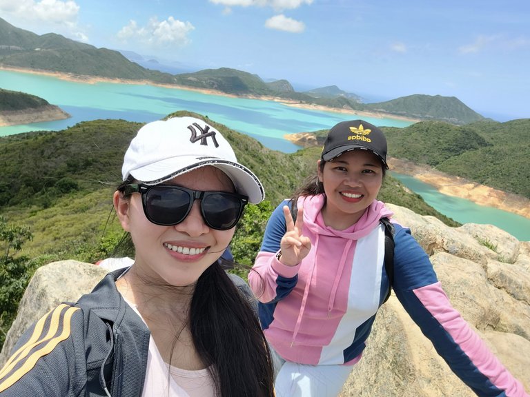
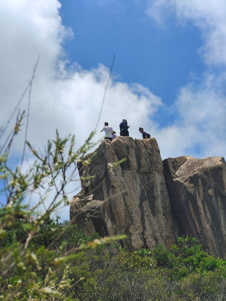
Located in the High Island Reservoir premise in Sai Kung Peninsula, New Territories is Kam Sui Shek Teng or what they called "Toad Stone Peak" in English translation.
During my entire stay here in Hong Kong, I never heard about this place and I was awed by it when I saw its photos online. This made me yearn for visiting the place and we immediately planned our visit right after knowing this beautiful paradise. An adventurer like us would always want to explore a beautiful spot, regardless of the weather condition, lol.
How to get there?
No train directly goes to Sai Kung, so from Mongkok city, we rode a bus to Sai Kung town.

It took us more or less 30 minutes to reach the town. You wouldn't get bored along the way either, because the view going to Sai Kung is captivating as well.
From Sai Kung town, we waited for a bus going to Sai Wan at the bus stop near Mcdonald's. The bus has a limited number, and always has a long queue. So if you want to visit this place, you better go earlier in the morning, so you could visit more beautiful spots in one day.
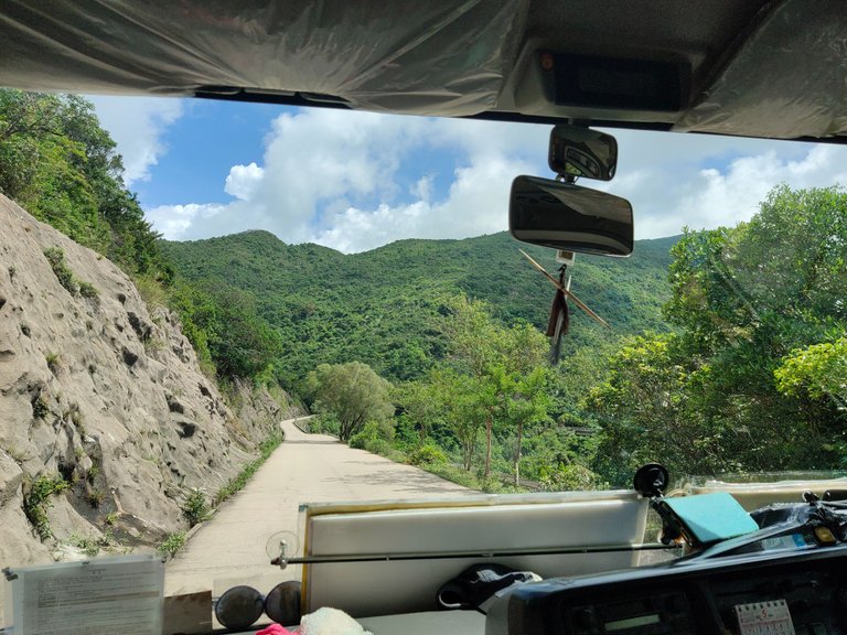
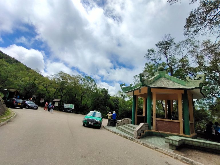
After another 30 minutes or less, we reached the Sai Wan Pavilion stop, and our real journey began.
Reminder:
There aren't any sheds in this place, except for limited space behind the basalt. So you better wear something that could protect you from the scorching sun if you prefer to visit this in Summer. But the best seasons are Autumn and Spring. You can bring an umbrella if you want 🤣 and wear a jacket or cap. And don't forget to apply sunscreen protection on your skin 😉.
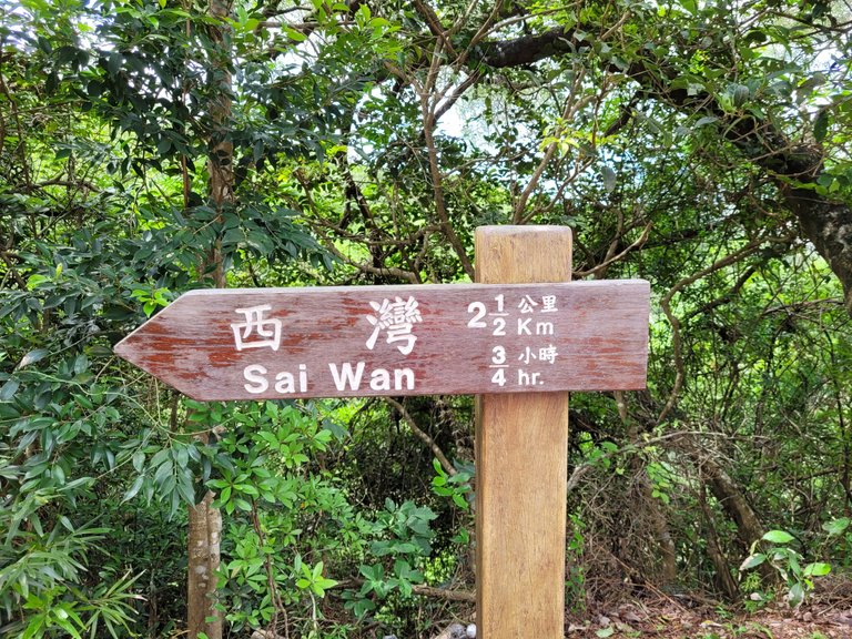
From the pavilion, we followed the signage to Sai Wan. There's an intersection, the one on the right is the way to this place.
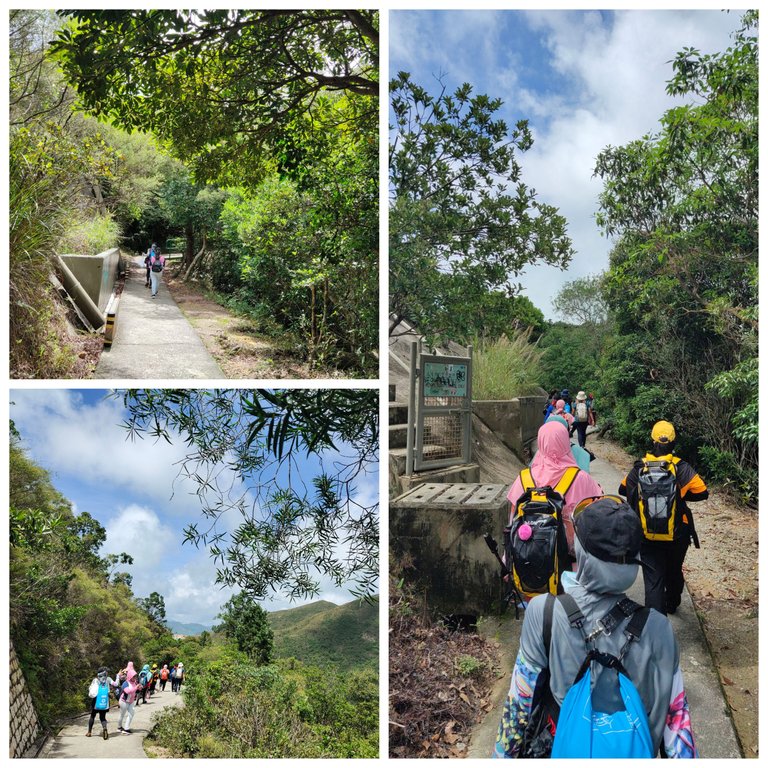
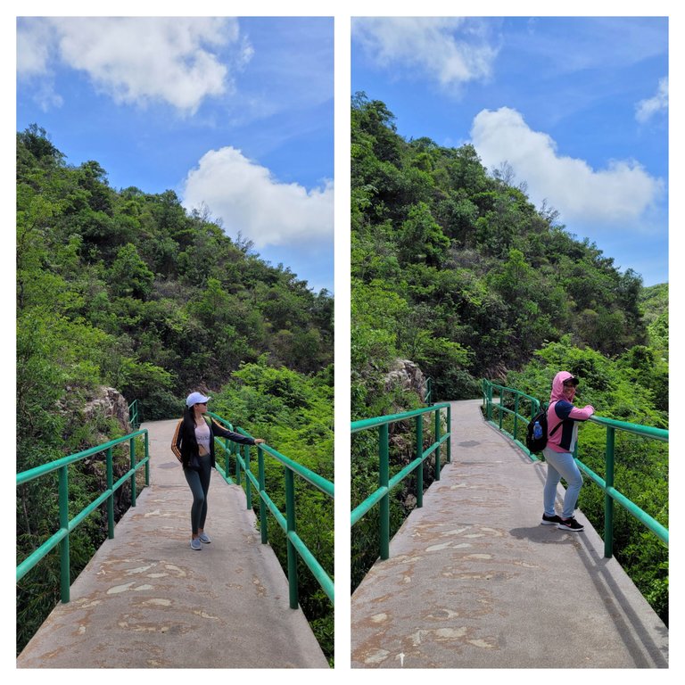
Our humble journey started on paved concrete flat paths that made our hike easier. There were more hikers with us that day, mostly Indonesians. The weather was perfect too, yet hot. But our jackets and caps protected us from the scorching sun.
After 10 minutes of walking under the sun, we got a glimpse of the beautiful High Island Reservoir on the right side of the road and the peak from the distance. It was a paradise to behold.
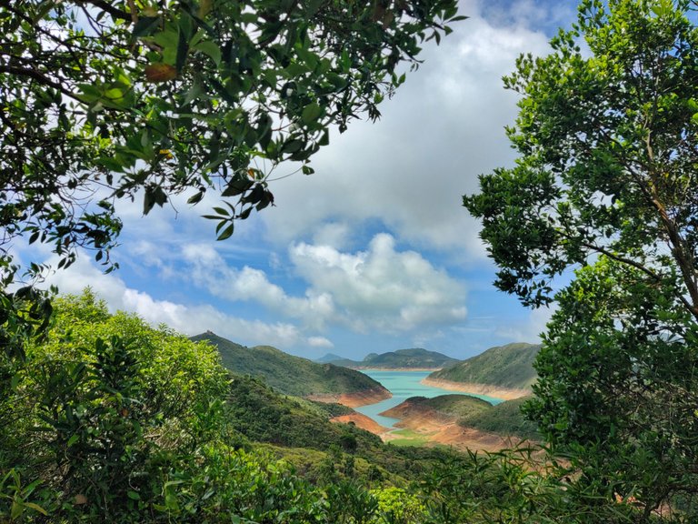
By looking at the water dam from the distance, you could think that the water seems artificial. Its construction is distinctive and seems beautifully formed.
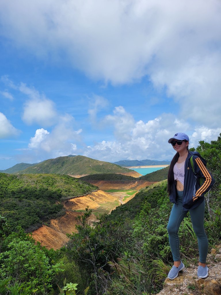
A few more minutes is a bridge crossing a stream.
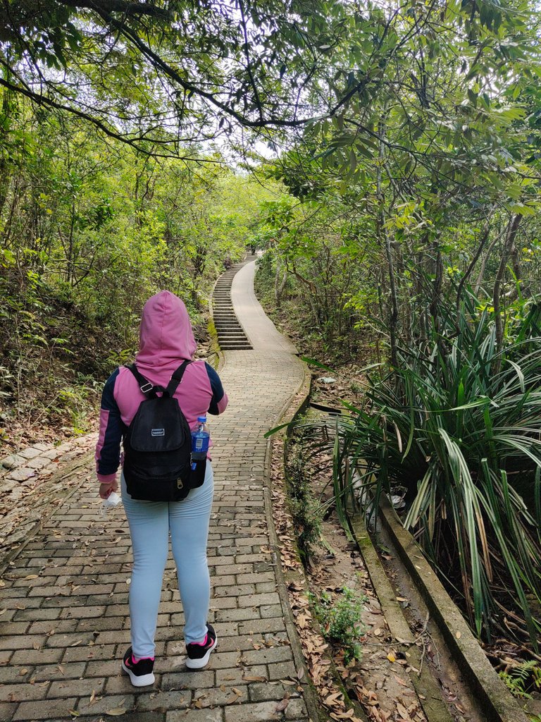
From a flat paved road, it starts to ascend and a half-stairs road beautifully winds up the hill.
At the end of it is another intersection that goes in three directions. The straight path is to the beach, to the reservoir on the right, and the left is to a waterfall (no photo). Since we planned to visit the basalt or toad stone, we headed in the right direction to the reservoir.
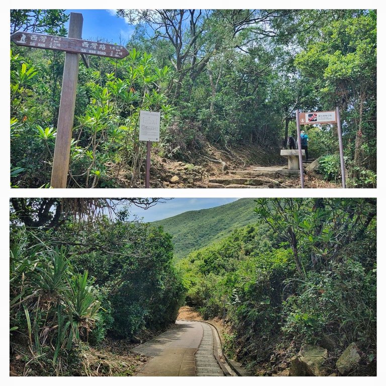
Following the narrow concrete staircase, our journey to the reservoir began. And a few minutes away from the intersection is a resting shed. We rested for a while before heading to more stairs up the hill.
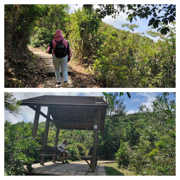
The higher we get, the prettier the view is. The middle of the stairway offers a stunning view of Sai Wan beach at the bottom of the hill, and the beautiful Sharp peak on the opposite island. Its peak covered by clouds shows how tall it is. This is one of the islands I want to visit and hike someday.
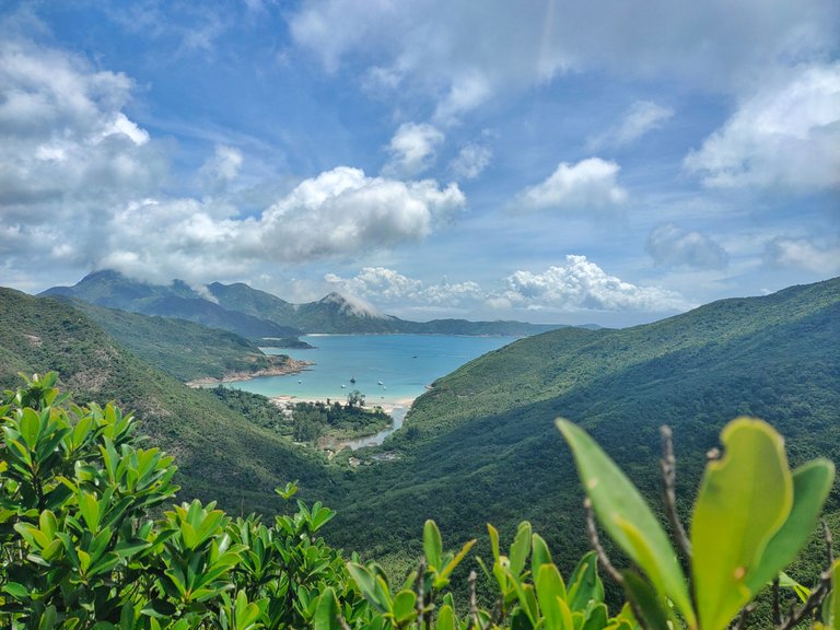
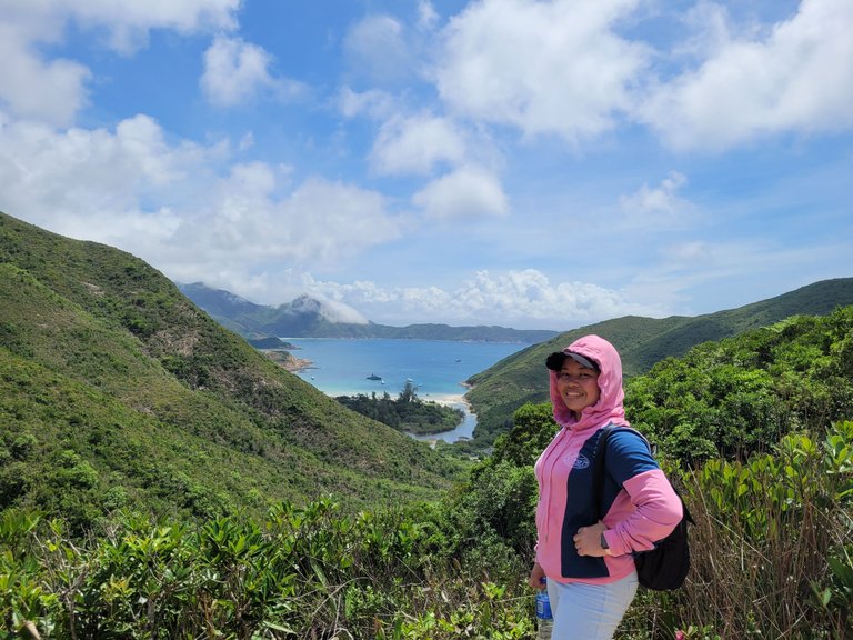
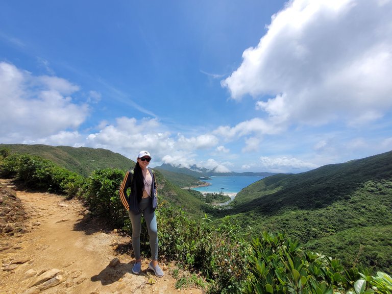
From concrete paths to dirt paths. There wasn't any signage showing the direction to the toad stone peak, so we just followed the direction we thought was right.
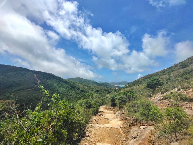
We climbed up and down, and up an inclining rocky hill.
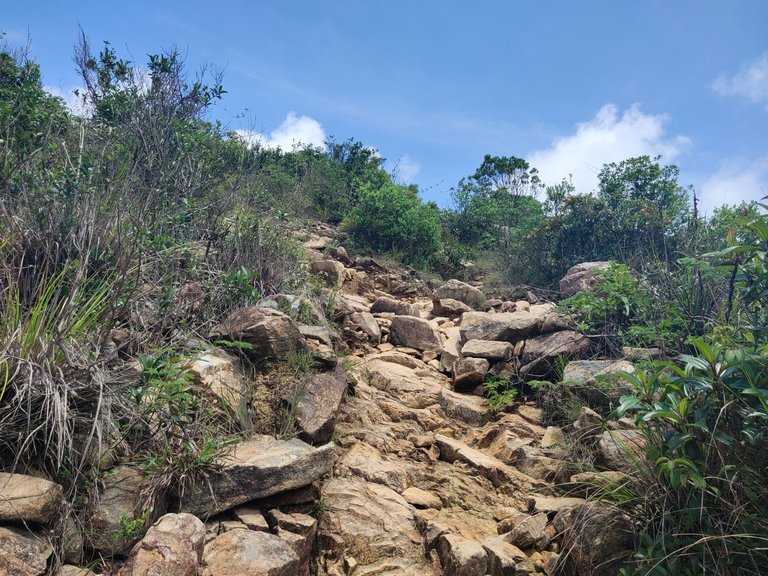
When we were midway to the top of this hill (photo below), we saw the toad stone peak in the opposite direction to the right. Therefore, we were heading to the wrong one, lol. We were almost lost due to a lack of signposts and more intersections gave us confusion.
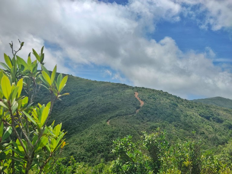
We traced our way back to the intersection down the hill and looked for a spot with an internet connection so we could search for the right direction online. Only to find out that the spot with the Maclehose Trail signpost we passed by was the starting point up to the peak.
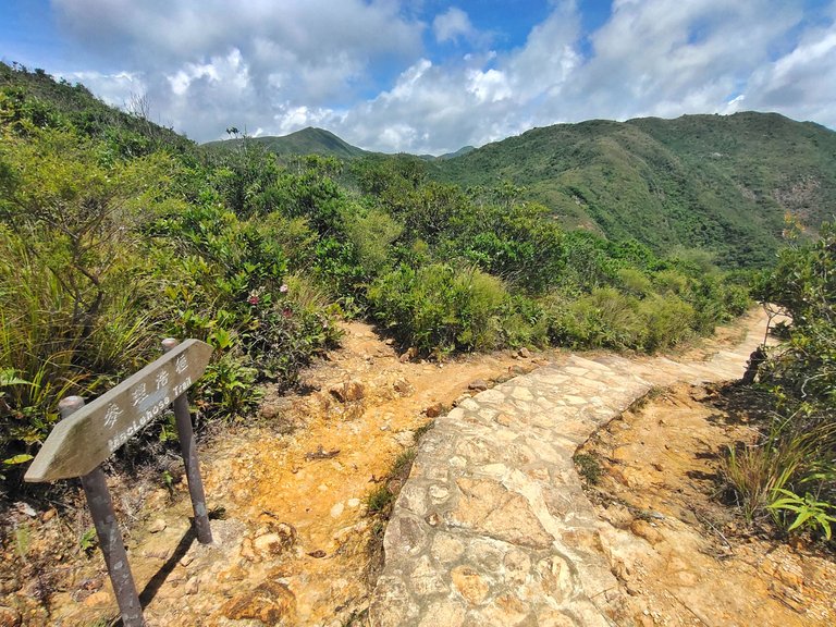
The view of the peak from the distance (middle hill)
The narrow way to the peak is on the left side of the signpost covered by bushes. We passed through bushes on dirt paths and climbed up the hill following the tied ribbons on branches and bushes.
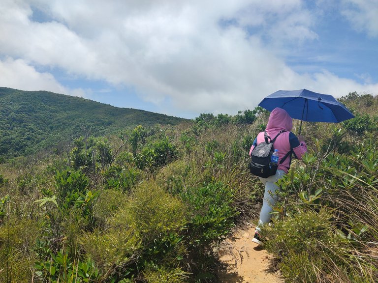
The effort was well paid off when we reached the bushy viewing platform on the top of the hill that offers a stunning panorama view of the reservoir. The toad stone peak on the other hand served as our compass so we wouldn't be lost again. It's too evident anyway and just a few more trails to take.
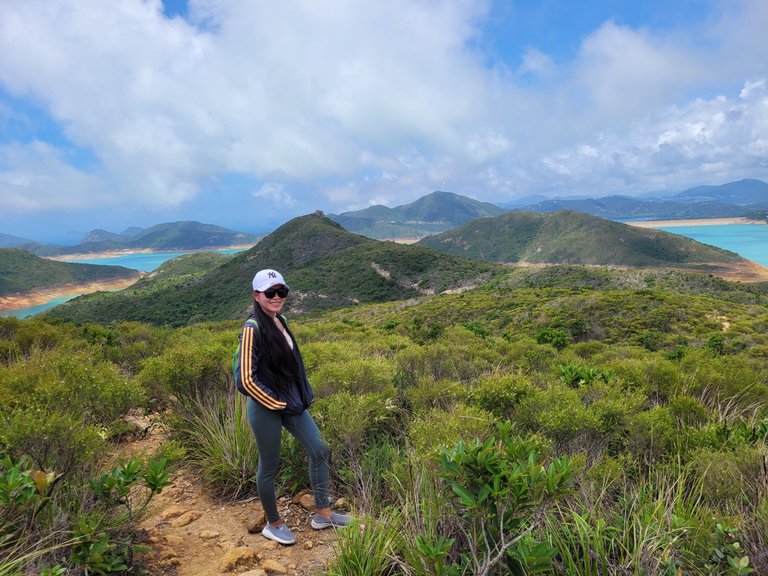
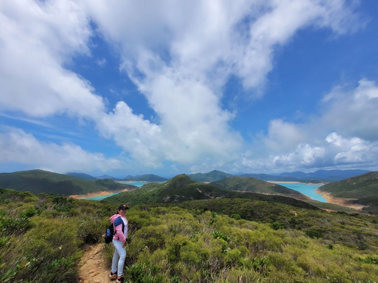
We met two Filipinas in this area. One is a Youtuber and we both came from the same province. They were lost as well like us, lol.
It looks near, yet still far. All the views from different parts were so captivating that I couldn't stop myself from taking photos.
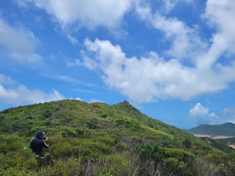
We followed the narrow trails down and up the hill with some detours and some seemed to disappear in the middle. The tied ribbons on the branches helped us track the right trail to the peak.
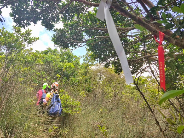
At noon, we breathed a sigh of relief when we finally reached the summit. It was truly an arduous hike, yet rewarding.
The top of the summit offers a stunning panoramic view of the reservoir. It was my first time seeing turquoise water dam color as I usually see green ones. The water color changed probably due to some factors and natural elements, or the water dam was naturally made with turquoise color.
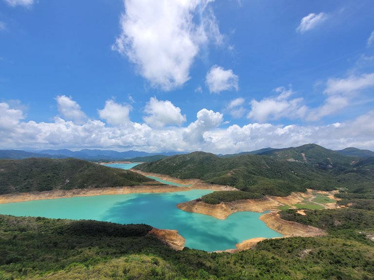
One would probably want to touch the water due to curiosity, but going near the water dam area is prohibited in all water dams here in HK.
According to Wikipedia, this reservoir has a water capacity of approximately two hundred and seventy-three million cubic meters, making this the biggest reservoir in Hong Kong. The construction lasted for 10 years from 1969 with the use of a lot of techniques and technology.
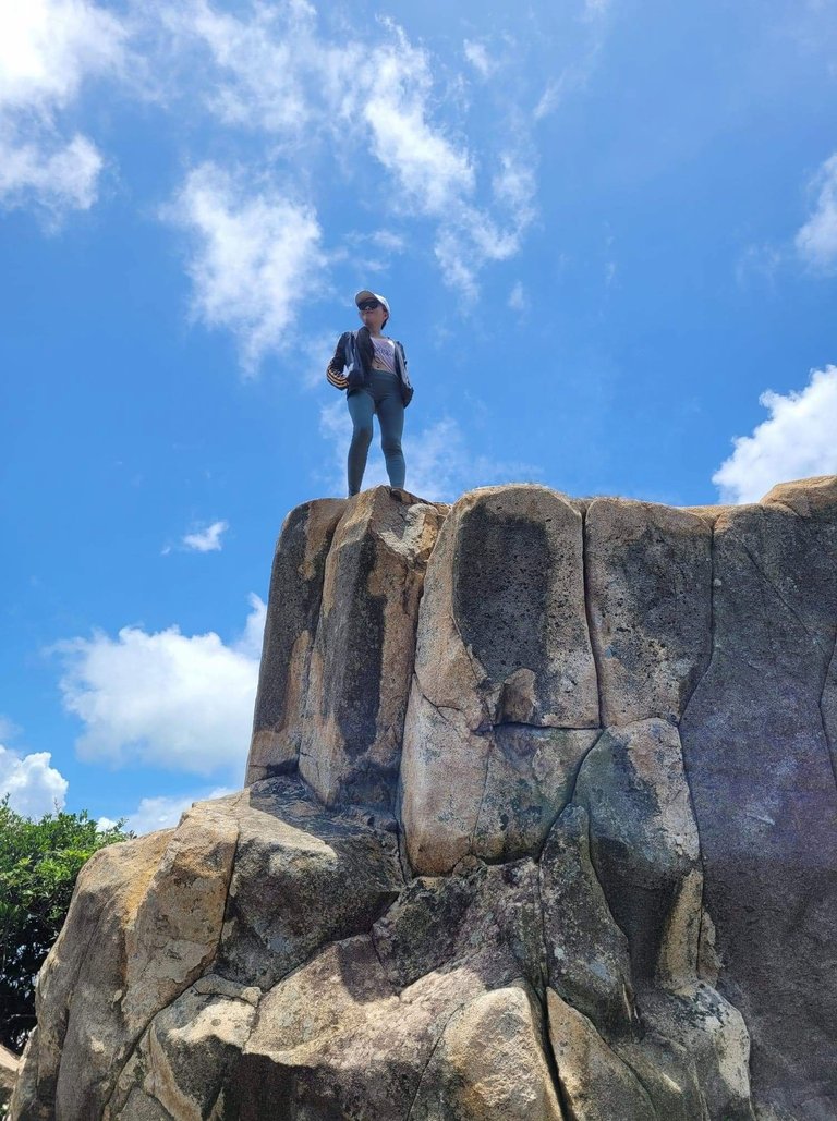
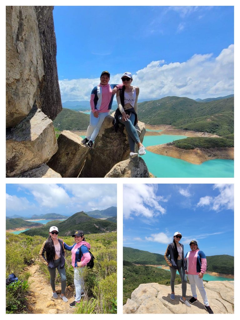
Clambering up the giant toad stone wasn't really that difficult, contrary to what we thought. The rock boulders served as our handheld and foothold. My buddy was hesitant to climb at first, so I did the first move and encouraged her to try because we might not be able to go back to this place again.
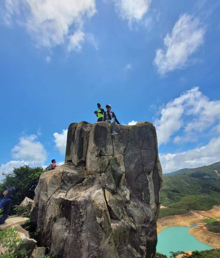
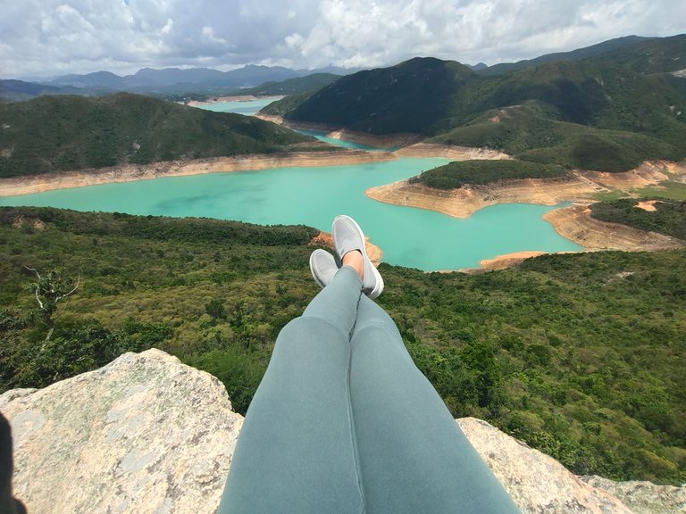
One shouldn't leave without climbing up the 150-meter stone as it has a more scenic view from atop. Drones were hovering above to take 360° shots of the place.
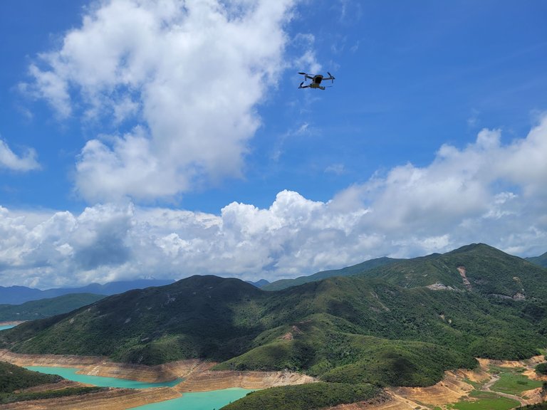
It's once in a lifetime experience, so seize the moment and take more shots 🤣.
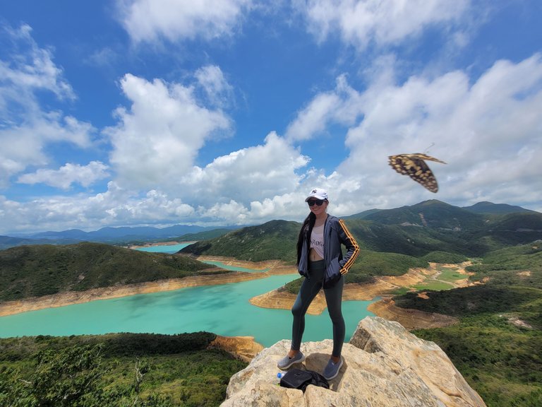
Look at that butterfly, it was perfect timing 🙂
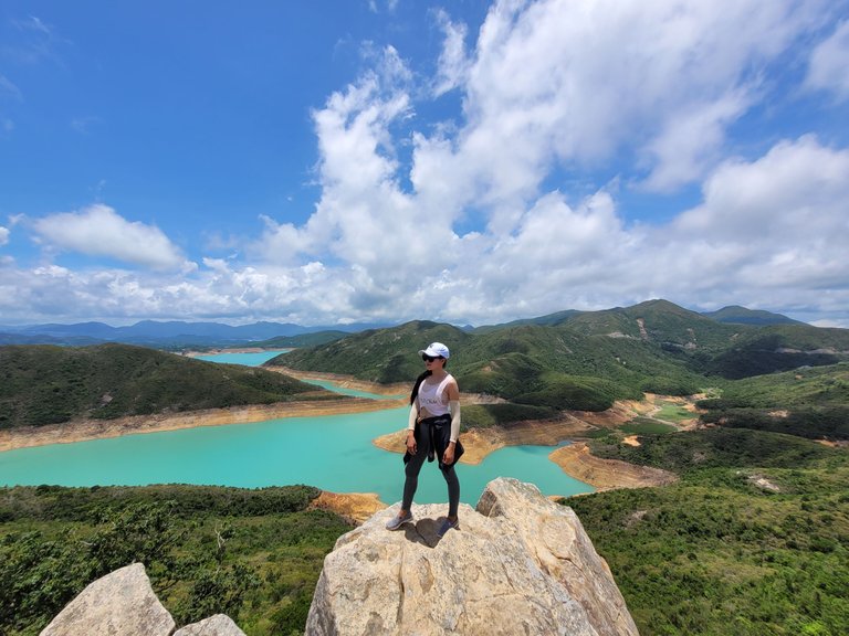
My buddy is smiling in the photo but her legs were actually trembling that day and I only convinced her to stand up for a better shot 🤣. No, I want her to conquer her fear of heights.
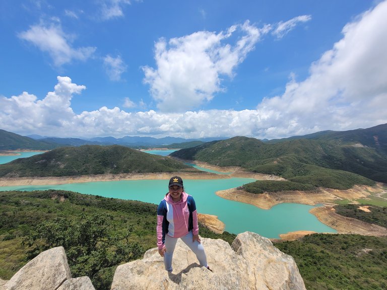
On the upper part of the stone is a flat platform where visitors could take better panoramic shots or play with drones.
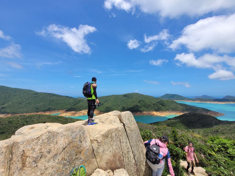
The man who played the drone
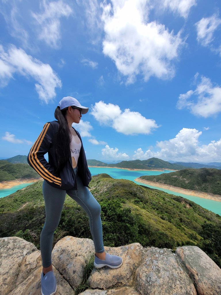
Isn't the view stunning? A perfect Instagrammable backdrop
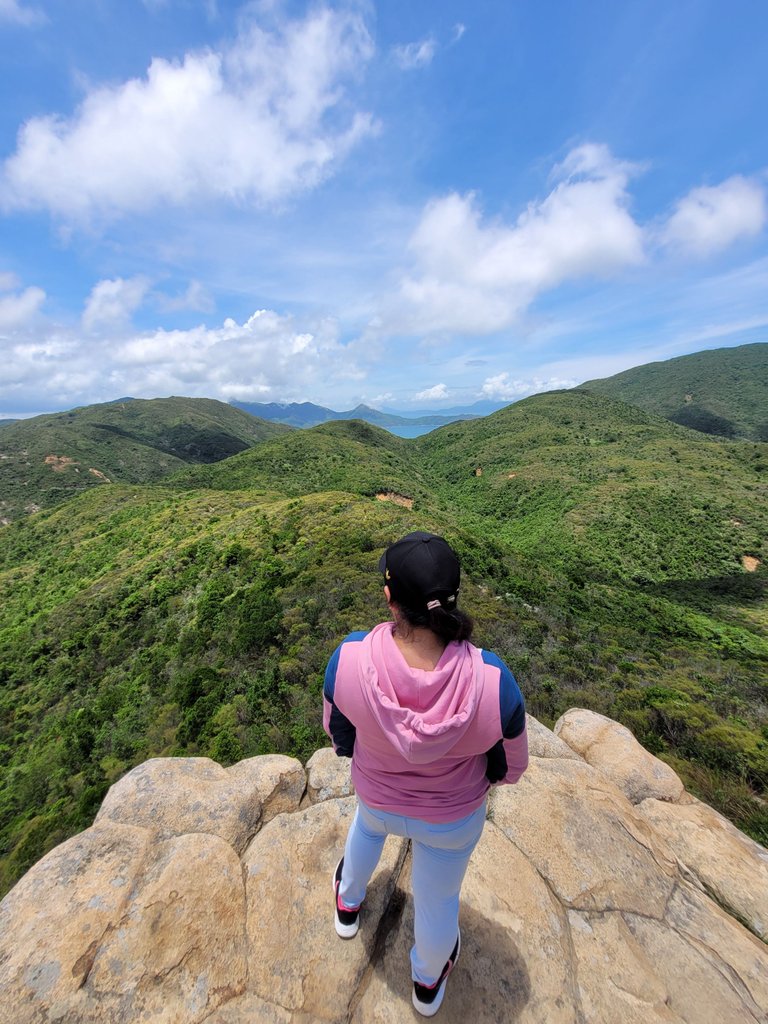
Green foliage on the other side
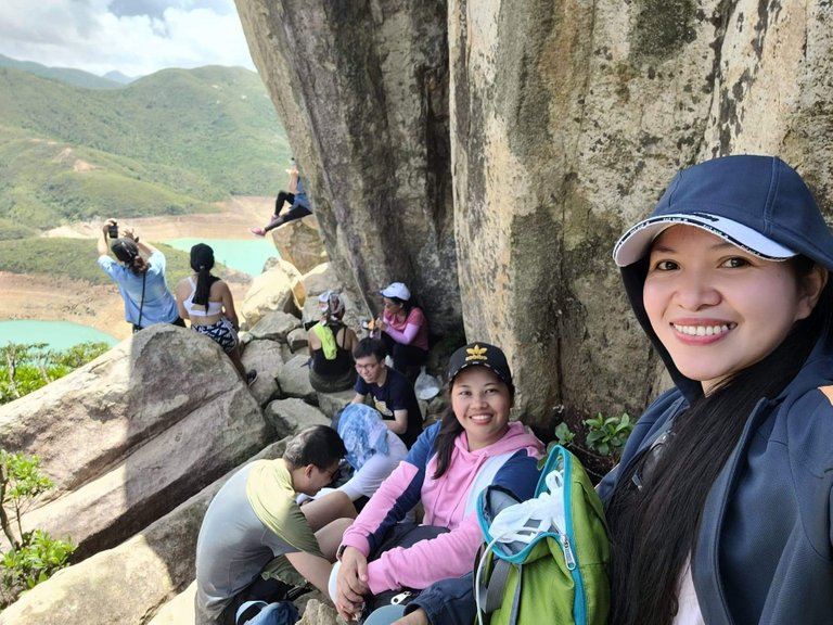
There was no resting shed in the area, except for the limited space behind the toad stone. This was where we had our lunch while lining up for the next photoshoot spot, the best in the place.
Incredible scenery awaits as I successfully scrambled up another stone and more instagrammable photos were taken. The stone may look short from the distance but it was difficult to climb and quite dangerous as well since it was a few hundred meters above sea level and only the risk taker can go to this cliff.
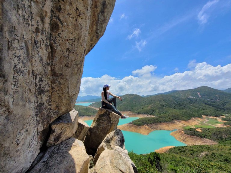
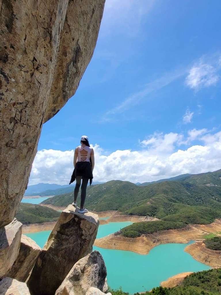
I felt proud of my buddy as she somehow conquered her fear of heights. And look how she stood confidently at the edge of the cliff. She thought she couldn't make it. But she wants souvenir photos of course and that inspired her to take the challenge to climb this cliff despite having short legs 🤣.
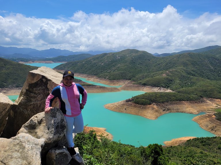
The stone behind her is almost as tall as her, lol
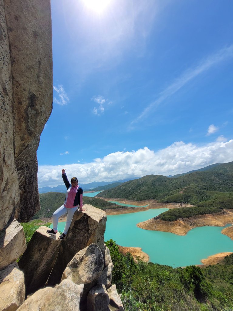
Yey! She made it!
Another achievement was unlocked and we felt like we received an award as we successfully conquered the arduous hike just to reach this beautiful spot in Hong Kong.
We started our hike at 10:30 in the morning and we opted to go back to the base at past 2 in the afternoon to visit more places at Sai Kung Town. We reached the base at 3:30 in the afternoon, so it was more or less 3 hours hike (because we got lost in direction), excluding the time we spent taking photos and resting.
No other trails are going back to the base so we retraced back the same trails and passed through overgrown bushes and dirt paths. There are more options as you reached back to the three-way intersection I mentioned above. Either you visit Sai Wan beach and sunbathe with the tourists, or visit the waterfalls in the secluded part of the hill. But we opted to went back to the town and roamed around. I'll visit the beach and waterfalls one of these days.
If you missed my travel blog about Sai King Town, better check this out.
Weekend Walk At The Seafood Capital Of Hong Kong
See you in my next travel blog 😊.
(All photos are mine)

Follow me on:


