A while ago, I traveled to the charming town of Chilecito, in the province of La Rioja, Argentina. During my visit, I discovered the fascinating history of the gold, silver, iron, copper and lead mine, "La Mejicana", located on the majestic Famatina Hill, at an altitude of 4,600 meters above sea level. Very high, right? Just thinking about it takes your breath away!
I had the opportunity to explore the historic cable car, an impressive piece of engineering that began operating at the end of 1905 and was in operation until 1927. This cable car had the important task of transporting the mineral extracted from the mine on Famatina Hill to the city of Chilecito, and its length is 35 km. Impressive construction!!!
Through its numerous stations and a challenging route, it allowed the efficient transfer of the valuable material. Touring this historic transportation system allowed me to appreciate its technical ingenuity. Walking through the facilities and learning more about their history was an enriching experience that left me with a deep respect for the workers and engineers who made such a feat possible.
To learn about the rich history of the cable car, there is nothing better than visiting the Dr. Santiago Bazán Museum. This fascinating museum houses a wide collection of objects that tell the story of the cable car, from its construction to its operation. The various exhibits include historical artifacts, tools used at the time, and several informative signs that describe in detail each of the stations and their importance. During my visit, I took numerous photos of these signs and some historical objects that I found especially interesting. These images capture the essence of a transportation system that, in its time, was a marvel of engineering and played a crucial role in the development of the region. The Dr. Santiago Bazán Museum not only preserves these valuable memories, but also educates visitors about the cultural and economic impact of the cable car on the community of Chilecito.
Hace un tiempo, viajé a la encantadora localidad de Chilecito, en la provincia de La Rioja, Argentina. Durante mi visita, descubrí la fascinante historia de la mina de oro, plata, hierro, cobre y plomo, "La Mejicana", situada en el majestuoso cerro Famatina, a una altitud de 4600 metros sobre el nivel del mar. Muy alto, verdad?. Sólo pensarlo quita el aliento!.
Tuve la oportunidad de explorar el histórico cable carril, una impresionante obra de ingeniería que comenzó a operar a finales de 1905 y estuvo en funcionamiento hasta 1927. Este cable carril tenía la importante tarea de transportar el mineral extraído de la mina en el cerro Famatina hasta la ciudad de Chilecito, y su longitud es de 35 km. Impresionante construcción!!!.
A través de sus numerosas estaciones y un recorrido desafiante, permitía el traslado eficiente del valioso material. Recorrer este histórico sistema de transporte me permitió apreciar su ingenio técnico. Pasear por las instalaciones y conocer más sobre su historia fue una experiencia enriquecedora que me dejó un profundo respeto por los trabajadores y los ingenieros que hicieron posible tal hazaña.
Para conocer la rica historia del cable carril, nada mejor que visitar el Museo Dr. Santiago Bazán. Este fascinante museo alberga una amplia colección de objetos que narran la historia del cable carril, desde su construcción hasta su funcionamiento. Las diversas exhibiciones incluyen artefactos históricos, herramientas utilizadas en la época y varios carteles informativos que describen en detalle cada una de las estaciones y su importancia. Durante mi visita, tomé numerosas fotos de estos carteles y de algunos objetos históricos que me parecieron especialmente interesantes. Estas imágenes capturan la esencia de un sistema de transporte que, en su tiempo, fue una maravilla de la ingeniería y jugó un papel crucial en el desarrollo de la región. El Museo Dr. Santiago Bazán no solo preserva estos valiosos recuerdos, sino que también educa a los visitantes sobre el impacto cultural y económico del cable carril en la comunidad de Chilecito.
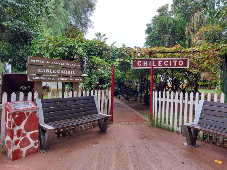
This image belongs to Room 1 of the museum. Below I transcribe the content of the corresponding poster:
Esta imagen pertenece a la Sala 1 del museo. A continuación, transcribo el contenido del cartel correspondiente:
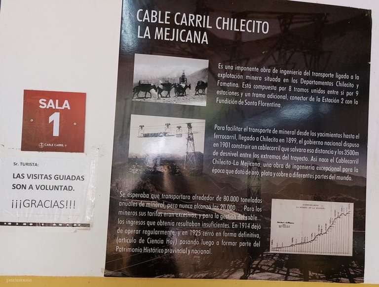
La Mejicana
Room 1
Mr. Tourist
Guided tours are optional. Thank you!!!
Chilecito Cableway
La Mejicana
This is an impressive piece of transport engineering linked to mining operations located in the Departments of Chilecito and Famatina. It is made up of 8 sections connected by 9 stations and an additional section, connecting Station 2 with the Santa Florentina Foundry.
To facilitate the transport of minerals from the deposits to the railway, which arrived in Chilecito in 1899, the national government decided in 1901 to build a cableway to cover these distances and the 3,500m of difference in altitude between the ends of the route. This is how the Chilecito - La Mejicana Cableway was born, an exceptional engineering work for its time that provided gold, silver and copper to different parts of the world.
It was expected to transport around 80,000 tons of ore annually, but it never reached 20,000… For the miners, its rates were excessive, and for the cable management… the income it obtained was insufficient. In 1914, it stopped operating regularly, and in 1925 it closed permanently, (article from Ciencia Hoy) later becoming part of the provincial and national Historical Heritage.
La Mejicana
Sala 1
Sr. Turista
Las visitas guiadas son a voluntad ¡¡¡Gracias!!!
Cable carril Chilecito
La Mejicana
Es una imponente obra de ingeniería del transporte ligada a la explotación minera situada en los Departamentos de Chilecito y Famatina. Está compuesta por 8 tramos unidos entre si por 9 estaciones y un tramo adicional, conector de la Estación 2 con la Fundición de Santa Florentina.
Para facilitar el transporte de mineral desde los yacimientos hasta el ferrocarril, llegado a Chilecito en 1899, el gobierno nacional dispuso en 1901 construir un cablecarril que salvara esas distancias y los 3500m de desnivel entre los extremos del trayecto. Así nace el Cablecarril Chilecito - La Mejicana, una obra de ingeniería excepcional para la época que dotó de oro, plata y cobre a diferentes partes del mundo.
Se esperaba que transportara alrededor de 80000 toneladas anuales de mineral, pero nunca alcanzó las 20000… Para los mineros sus tarifas eran excesivas, y para la gestión del cable… los ingresos que obtenía eran insuficientes. En 1914 dejó de operar regularmente, y en 1925 cerró de forma definitiva, (artículo de Ciencia Hoy) pasando luego a formar parte del Patrimonio Histórico provincial y nacional.
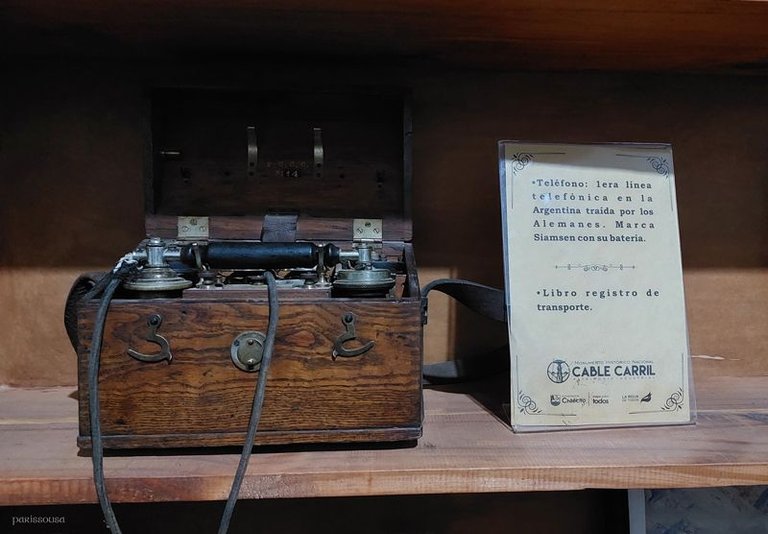
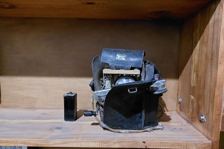
This is one of the objects on display in a museum showcase. It is a telephone and it is the first telephone line in Argentina brought by the Germans. Its brand is Siamsen with its battery.
Este es uno de los objetos expuestos en una vitrina del museo. Se trata de un teléfono y es la primera línea telefónica en la Argentina traída por los alemanes. Su marca es Siamsen con su batería.
This is a poster that refers to communication and says the following:
Este es un cartel que hace referencia a la comunicación y dice lo siguiente:
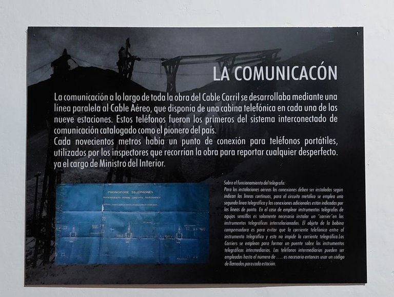
Communication
The communication throughout the entire Cable Car construction was carried out by means of a line parallel to the Aerial Cable, which had a telephone booth at each of the nine stations. These telephones were the first of the interconnected communication system classified as the pioneer in the country.
Every nine hundred meters there was a connection point for portable telephones, used by the inspectors who went around the construction to report any defect.
Regarding the operation of the telegraph:
For the aerial installations the connections must be installed as indicated by the continuous lines, for the metallic circuit a second telegraph line is used and the additional connections are indicated by the dotted lines. In the case of using telegraph instruments with single needles it is only necessary to install a “carrier” in the interconnected telegraph instruments. The purpose of the compensating coil is to prevent the telephone current from entering the telegraph instrument and this does not impede the telegraph current. The Carriers are used to form a bridge over the intermediate telegraph instruments. Intermediate telephones can be used up to the number of .. it is then necessary to use a calling code for each station.
La Comunicación
La comunicación a lo largo de toda la obra del Cable Carril se desarrollaba mediante una línea paralela al Cable Aéreo, que disponía de una cabina telefónica en cada una de las nueve estaciones. Estos teléfonos fueron los primeros del sistema interconectado de comunicación catalogado como el pionero del país.
Cada novecientos metros había un punto de conexión para teléfonos portátiles, utilizados por los inspectores que recorrían la obra para reportar cualquier desperfecto.
Sobre el funcionamiento del telégrafo:
Para las instalaciones aéreas las conexiones deben ser instaladas según indican las líneas continuas, para el circuito metálico se emplea una segunda línea telegráfica y las conexiones adicionales están indicadas por las líneas de punto. En el caso de emplear instrumentos telegráficos de agujas sencillas es solamente necesario instalar un “carrier” en los instrumentos telegráficos interrelacionados. El objeto de la bobina compensadora es para evitar que la corriente telefónica entre al instrumento telegráfico y este no impide la corriente telegráfica. Los Carriers se emplean para formar un puente sobre los instrumentos telegráficos intermediarios. Los teléfonos intermediarios pueden ser empleados hasta el número de .. es necesario entonces usar un código de llamadas para cada estación.
Here are three more photos illustrating the exhibits. One of them is the logbook and a sample of a mineral extracted from the Famatina mine.
Estas son otras 3 fotos que ilustran los objetos expuestos. Uno de ellos es el libro de registro y una muestra de un mineral extraído de la mina de Famatina.
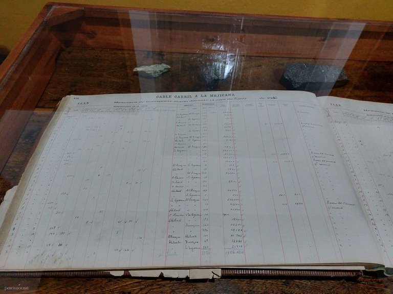
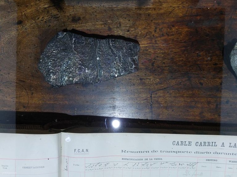
Here is another poster that deals with the geology of the place. This is its content:
A continuación, les presento otro cartel que aborda la geología del lugar. Este es su contenido:
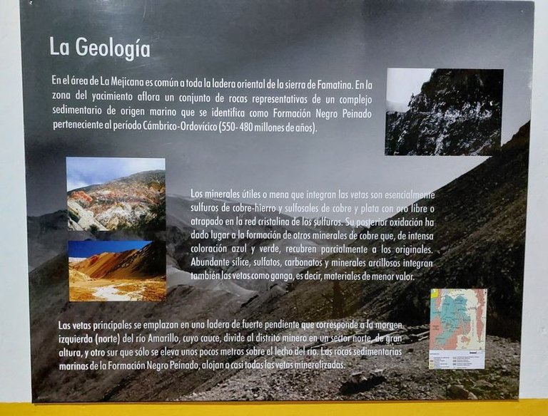
Geology
In the area of La Mejicana, it is common to the entire eastern slope of the Sierra de Famatina. In the area of the deposit, a set of rocks outcrops that are representative of a sedimentary complex of marine origin that is identified as the Negro Peinado Formation belonging to the Cambrian-Ordovician period (550-480 million years). The useful minerals or ore that make up the veins are essentially copper-iron sulfides and copper and silver sulfosalts with free gold or trapped in the crystalline network of the sulfides. Their subsequent oxidation has led to the formation of other copper minerals that, with an intense blue and green color, partially cover the original ones. Abundant silica, sulphates, carbonates and clay minerals also make up the veins as gangue, that is, materials of lesser value. The main veins are located on a steep slope that corresponds to the left (northern) bank of the Amarillo River, whose bed divides the mining district into a high northern sector and a southern sector that rises only a few meters above the river bed. The marine sedimentary rocks of the Negro Peinado Formation host almost all of the mineralized veins.
La geología
En el área de La Mejicana es común a toda la ladera oriental de la sierra de Famatina. En la zona del yacimiento aflora un conjunto de rocas representativas de un complejo sedimentario de origen marino que se identifica como Formación Negro Peinado perteneciente al periodo Cámbrico – Ordovícico (550 – 480 millones de años). Los minerales útiles o mena que integran las vetas son esencialmente sulfuros de cobre – hierro y sulfosales de cobre y plata con oro libre o atrapado en la red cristalina de los sulfuros, Su posterior oxidación ha dado lugar a la formación de otros minerales de cobre que, de intensa coloración azul y verde, recubren parcialmente a los originales. Abundante sílice, sulfatos, carbonatos y minerales arcillosos integran también las vetas como ganga, es decir, materiales de menor valor. Las vetas principales se emplazan en una ladera de fuerte pendiente que corresponde a la margen izquierda (norte) del rio Amarillo, cuyo cauce, divide al distrito minero en un sector norte, de gran altura, y otro sur que sólo se eleva unos pocos metros sobre el lecho del rio. Las rocas sedimentarias marinas de la Formación Negro Peinado, alojan a casi todas las vetas mineralizadas.
One more poster:
Un cartel más:
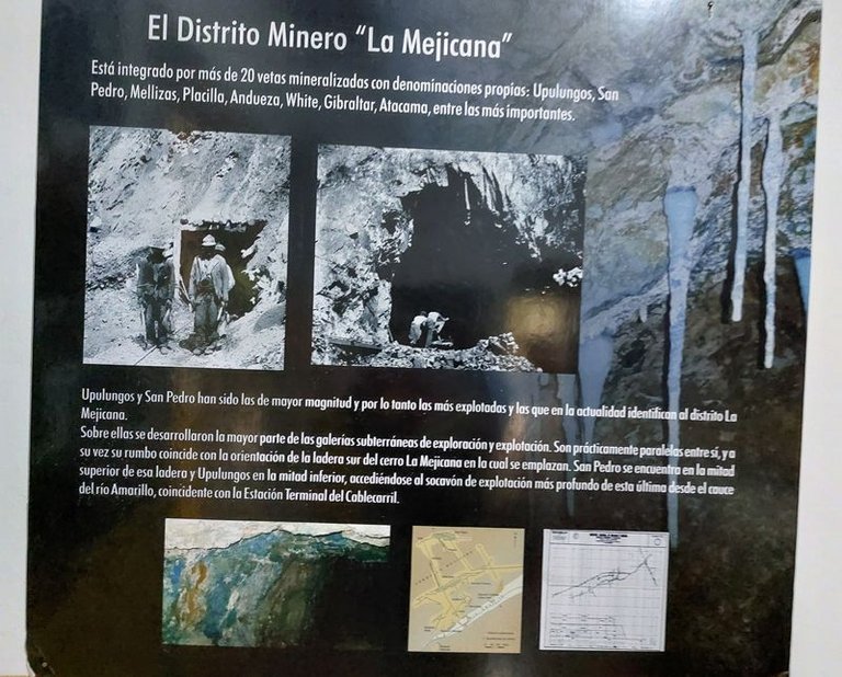
The “La Mejicana” Mining District
It is made up of more than 20 mineralized veins with their own names: Upulungos, San Pedro, Mellizas, Placita, Andueza, White, Gibraltar, Atacama, among the most important.
Upulungos and San Pedro have been the largest and therefore the most exploited and those that currently identify the La Mejicana district.
Most of the underground exploration and exploitation galleries were developed on them. They are practically parallel to each other, and in turn their course coincides with the orientation of the southern slope of the La Mejicana hill on which they are located. San Pedro is located in the upper half of that slope and Upulungos in the lower half, accessing the deepest exploitation tunnel of the latter from the bed of the Amarillo River, coinciding with the Cablecarril Terminal Station.
El Distrito Minero “La Mejicana”
Esta integrado por mas de 20 vetas mineralizadas con denominaciones propias: Upulungos, San Pedro, Mellizas, Placita, Andueza, White, Gibraltar, Atacama, entre las mas importantes.
Upulungos y San Pedro han sido las de mayor magnitud y por lo tanto las mas explotadas y las que en la actualidad identifican al distrito la Mejicana.
Sobre ellas se desarrollaron la mayor parte de las galerías subterráneas de exploración y explotación. Son prácticamente paralelas entre si, y a su vez su rumbo coincide con la orientación de la ladera sur del cerro La Mejicana en la cual se emplazan, San Pedro se encuentra en la mitad superior de esa ladera y Upulungos en la mitad inferiro, accediéndose al socavon de explotación más profundo de esta última desde el cauce del rio Amarillo, coincidente con la Estación Terminal del Cablecarril.
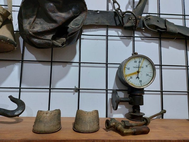
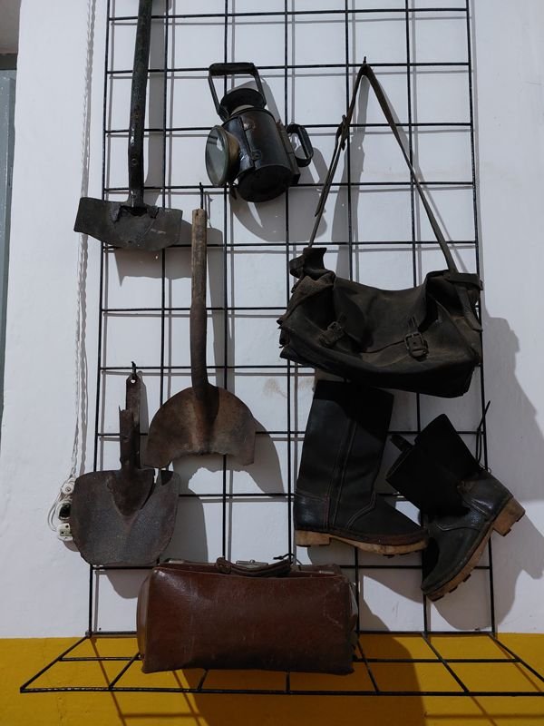
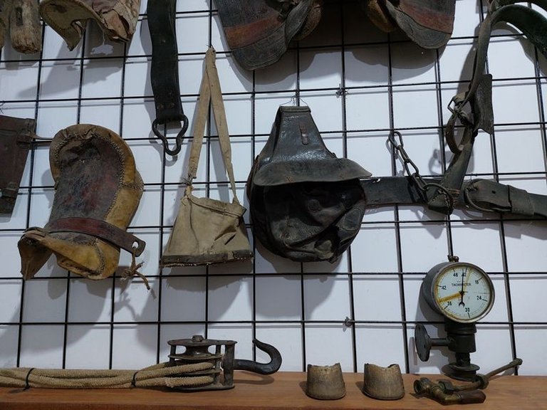
Here, objects are displayed in museum showcases that tell old stories and revive the rich heritage of the past.
Aquí se exhiben objetos en las vitrinas del museo que narran viejas historias y revive la rica herencia del pasado.
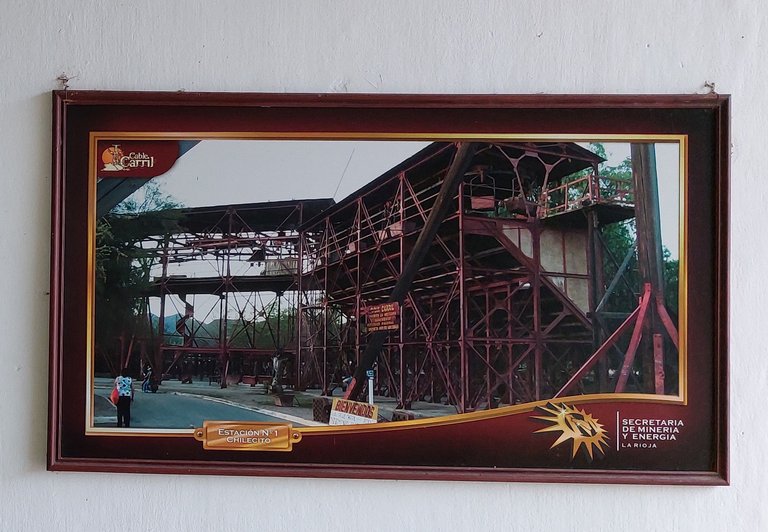
Below are photos documenting each of the cable car stations. Here we can see Station No. 1, Chilecito.
A continuación, se presentan fotos que documentan cada una de las estaciones del cable carril. Aquí podemos ver la Estación N° 1, Chilecito.
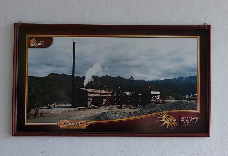
Station No. 2 El Durazno
La Estación N°2 El Durazno
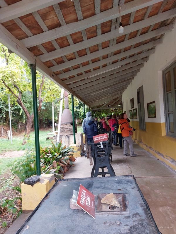
These photos are displayed in a gallery of the museum, where various objects used at that time are also on display. Each piece on display and each image hanging tells a part of the story, allowing us to travel back in time and better understand what life was like during the operation of the cable car. It is a place where the past comes to life, offering visitors a deep and educational insight into the rich cultural heritage of the region.
Estas fotos están colgadas en una galería del museo, donde se exponen también diversos objetos utilizados en aquella época. Cada pieza exhibida y cada imagen colgada cuentan una parte de la historia, permitiéndonos viajar en el tiempo y entender mejor cómo era la vida durante el funcionamiento del cable carril. Es un lugar donde el pasado cobra vida, ofreciendo a los visitantes una visión profunda y educativa de la rica herencia cultural de la región.
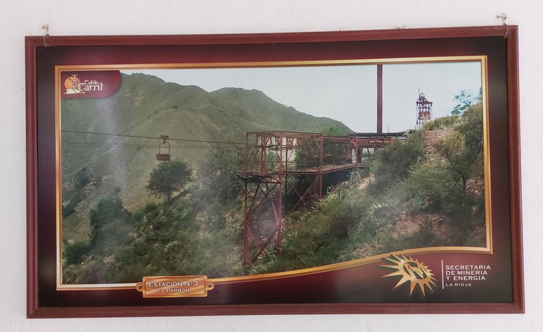
Below is a photo of Station No. 3, El Parrón. In it, we can see the cable that carried a bucket used to lower the mineral extracted from the top of the hill.
A continuación, se presenta la foto de la Estación N° 3, El Parrón. En ella, podemos observar el cable que transportaba una cubeta utilizada para bajar el mineral extraído desde lo alto del cerro.
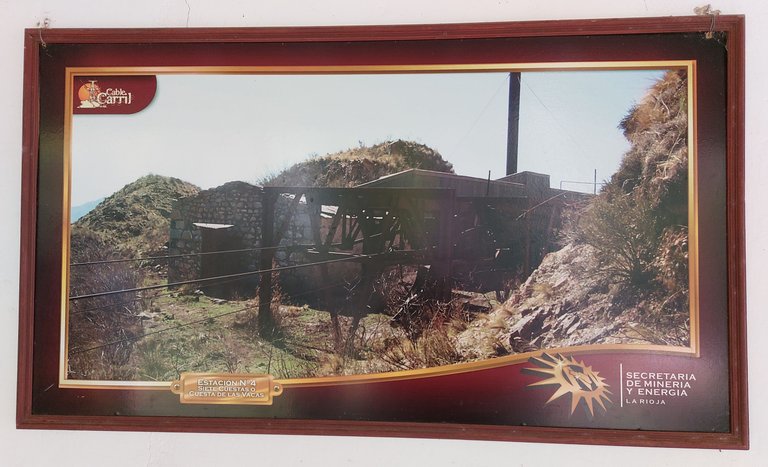
Here we have Station No. 4 called Siete Cuestas or Cuesta de las Vacas. Remember that we are getting higher and higher.
Aquí tenemos la Estación N°4 llamada Siete cuestas o Cuesta de las vacas. Recordemos que cada vez estamos a mayor altura.
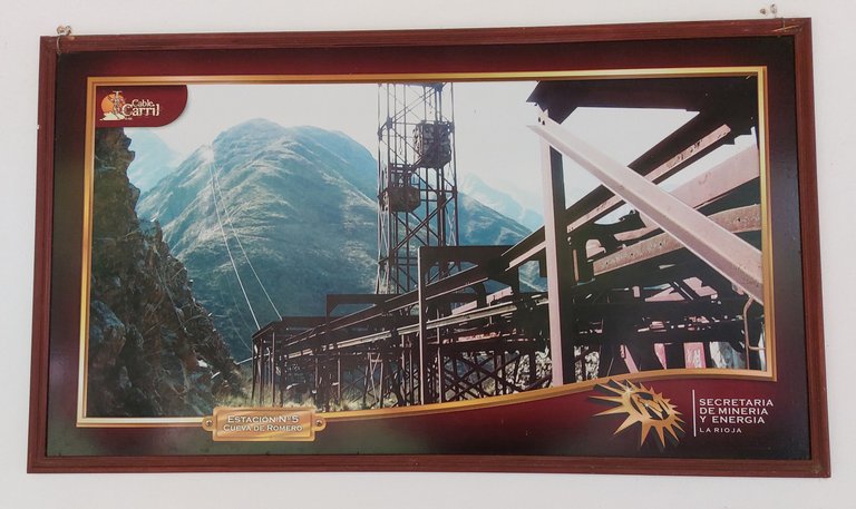
We arrived at Station No. 5, Cueva de Romero. Behind this station, the majestic Famatina hill rises, and you can clearly see the cable car that ascends. This point of the route offers an impressive view, showing the complexity and challenge that transporting the mineral from the heights to the base represented. It is a stop that encapsulates the ingenuity and human effort invested in this monumental work of engineering.
Llegamos a la Estación N° 5, Cueva de Romero. Detrás de esta estación, se alza majestuoso el cerro Famatina, y se puede apreciar claramente el tendido del cable carril que asciende. Este punto del recorrido ofrece una vista impresionante, mostrando la complejidad y el desafío que representaba transportar el mineral desde las alturas hasta la base. Es una parada que encapsula la ingeniosidad y el esfuerzo humano invertidos en esta monumental obra de ingeniería.
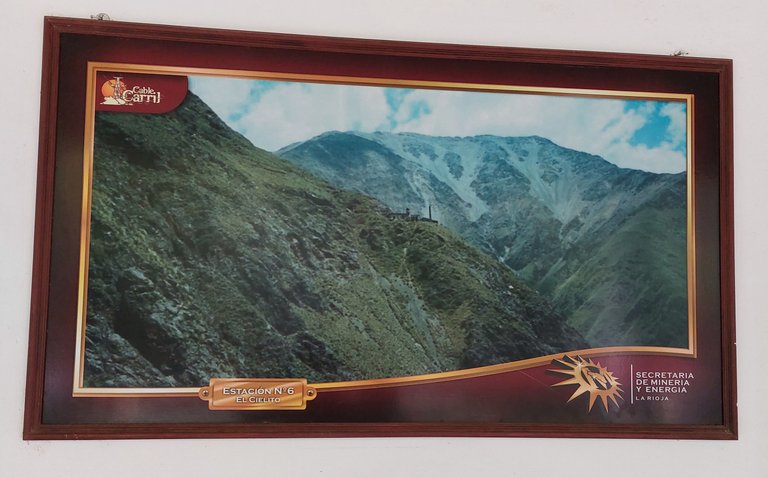
We arrived at Station No. 6 El Cielito. We saw an impressive landscape.
Llegamos a la Estación N°6 El Cielito. Se observa un paisaje impresionante.
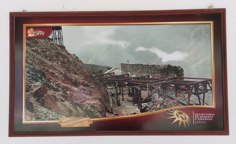
Here we see Station No. 7, Calderita Nueva. From this point, the landscape is enveloped in clouds, creating an almost ethereal atmosphere. This view gives us a clear idea of the considerable height at which we are, highlighting the magnificence of Famatina Hill and the arduous work involved in transporting the mineral through these mountainous landscapes.
Aquí vemos la Estación N° 7, Calderita Nueva. Desde este punto, el paisaje está envuelto entre las nubes, creando una atmósfera casi etérea. Esta vista nos da una clara idea de la considerable altura a la que nos encontramos, destacando la magnificencia del cerro Famatina y la ardua labor que significaba transportar el mineral a través de estos parajes montañosos.
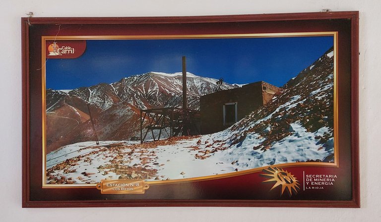
We arrived at Station No. 8, Los Bayos. At this altitude, the landscape is completely covered in snow, creating an impressive and magical view. The immaculate whiteness of the surroundings highlights the magnitude of our location and the majesty of Famatina Hill.
Llegamos a la Estación N° 8, Los Bayos. A esta altitud, el paisaje está completamente cubierto de nieve, creando una vista impresionante y mágica. La blancura inmaculada del entorno resalta la magnitud de nuestra ubicación y la majestuosidad del cerro Famatina.
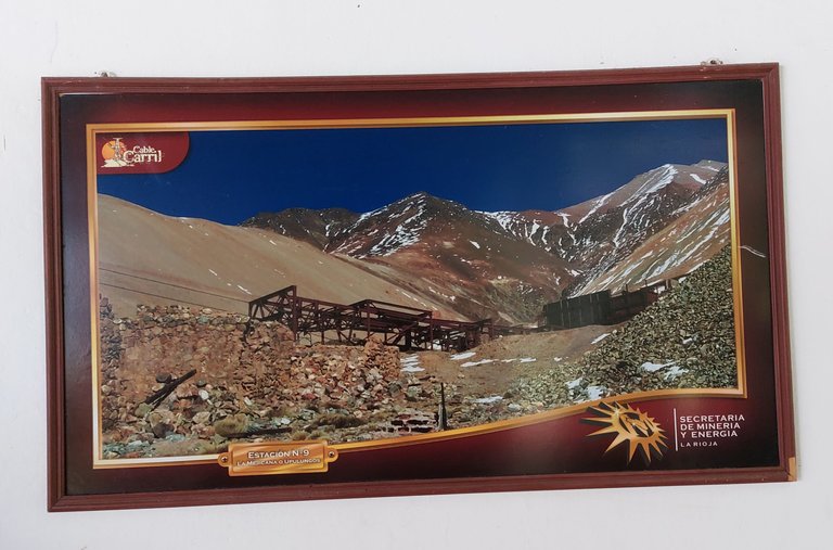
Finally, we have reached the top, at Station No. 9, La Mejicana. Here, at the top of the hill, is the point from which the mineral extracted from the mine was lowered. The view is impressive and the height at which we find ourselves is dizzying. Unfortunately, it is not possible to get there, the tourist visit is only up to Station No. 2.
Finalmente, hemos llegado a la cima, a la Estación N° 9, La Mejicana. Aquí, en lo alto del cerro, se encuentra el punto desde donde descendía el mineral extraído de la mina. La vista es impresionante y la altura a la que nos encontramos es vertiginosa. Lamentablemente no se puede llegar hasta allí, la visita turística es sólo hasta la estación N° 2.
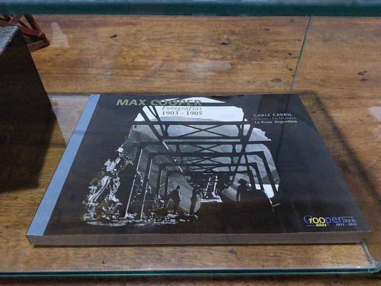
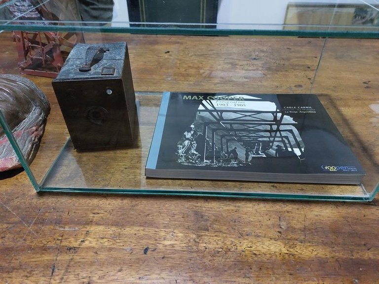
At the end of the visit, we find a display case that exhibits a photographic work by the photographer Max Cooper, made between 1903 and 1905. In this display case, the book of his works is displayed alongside an old camera, the same one with which Max Cooper documented his visual story. The combination of the book and the camera offers a fascinating look into the past, allowing us to appreciate the techniques and tools used at that time to capture history through images.
Al finalizar la visita, encontramos una vitrina que exhibe una obra fotográfica del fotógrafo Max Cooper, realizada entre los años 1903 y 1905. En esta vitrina, el libro de sus trabajos está expuesto junto a una antigua cámara de fotos, la misma con la que Max Cooper documentó su relato visual. La combinación del libro y la cámara ofrece una fascinante mirada al pasado, permitiéndonos apreciar las técnicas y herramientas utilizadas en esa época para capturar la historia a través de imágenes.
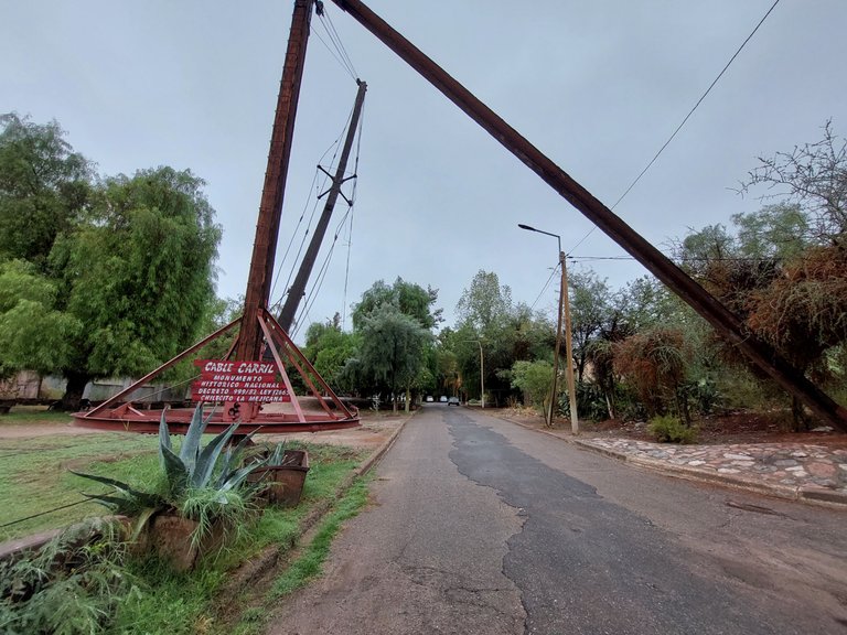
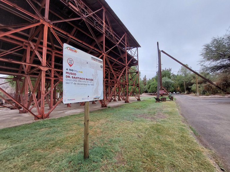
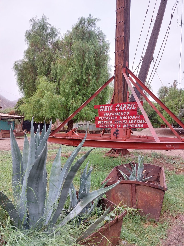
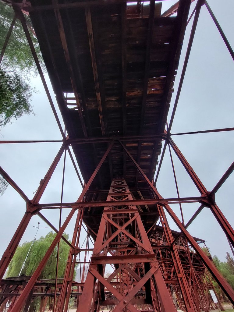
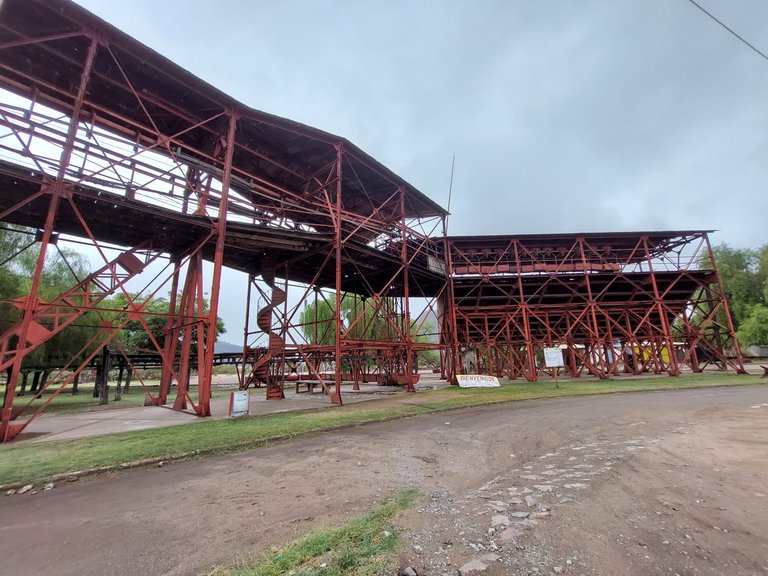
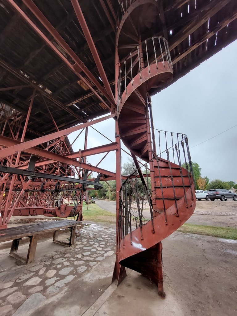
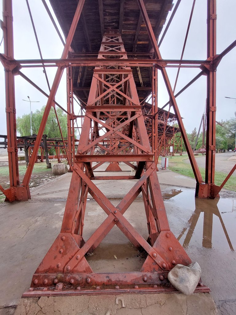
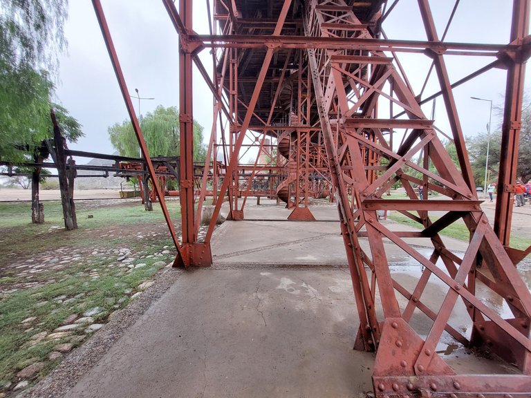
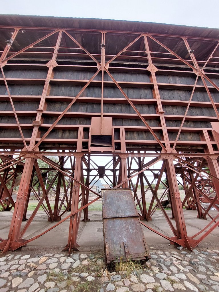
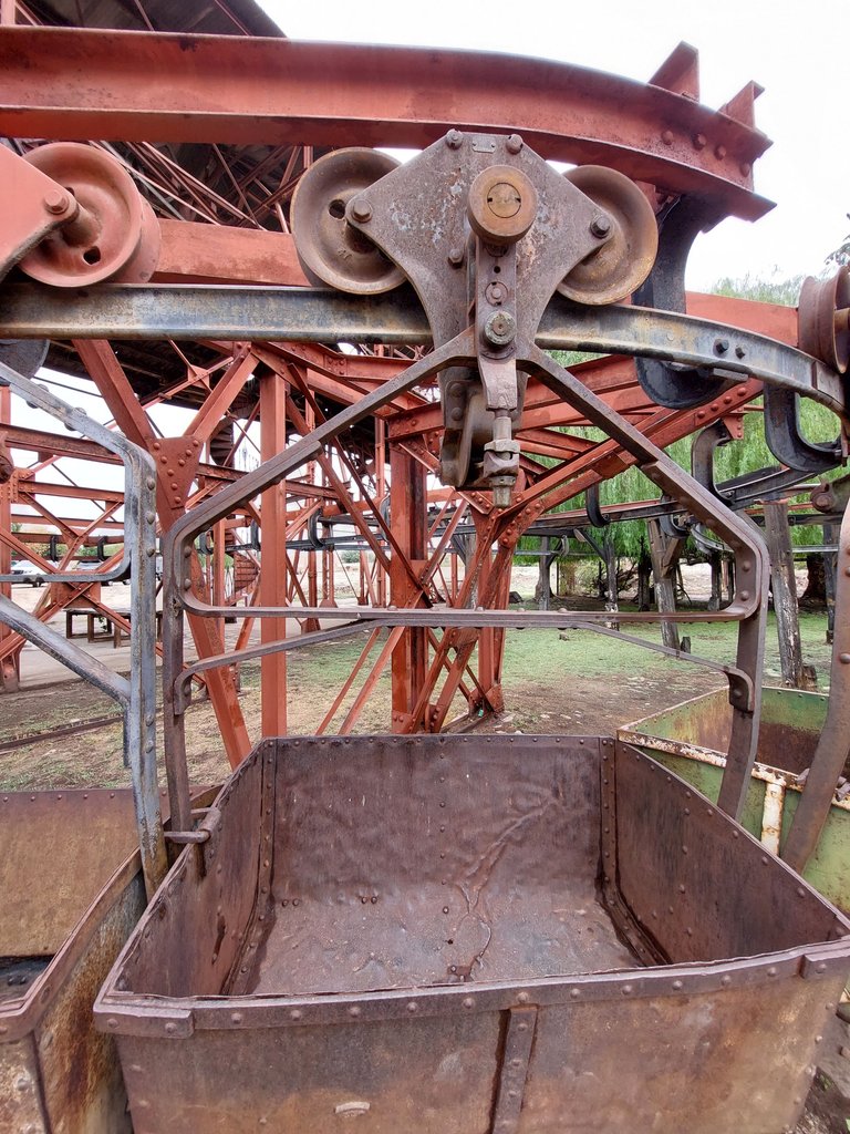
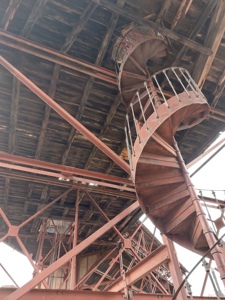
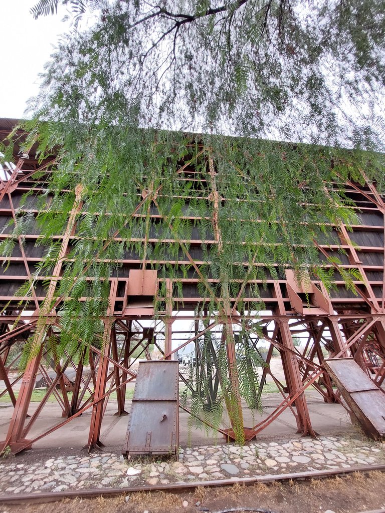
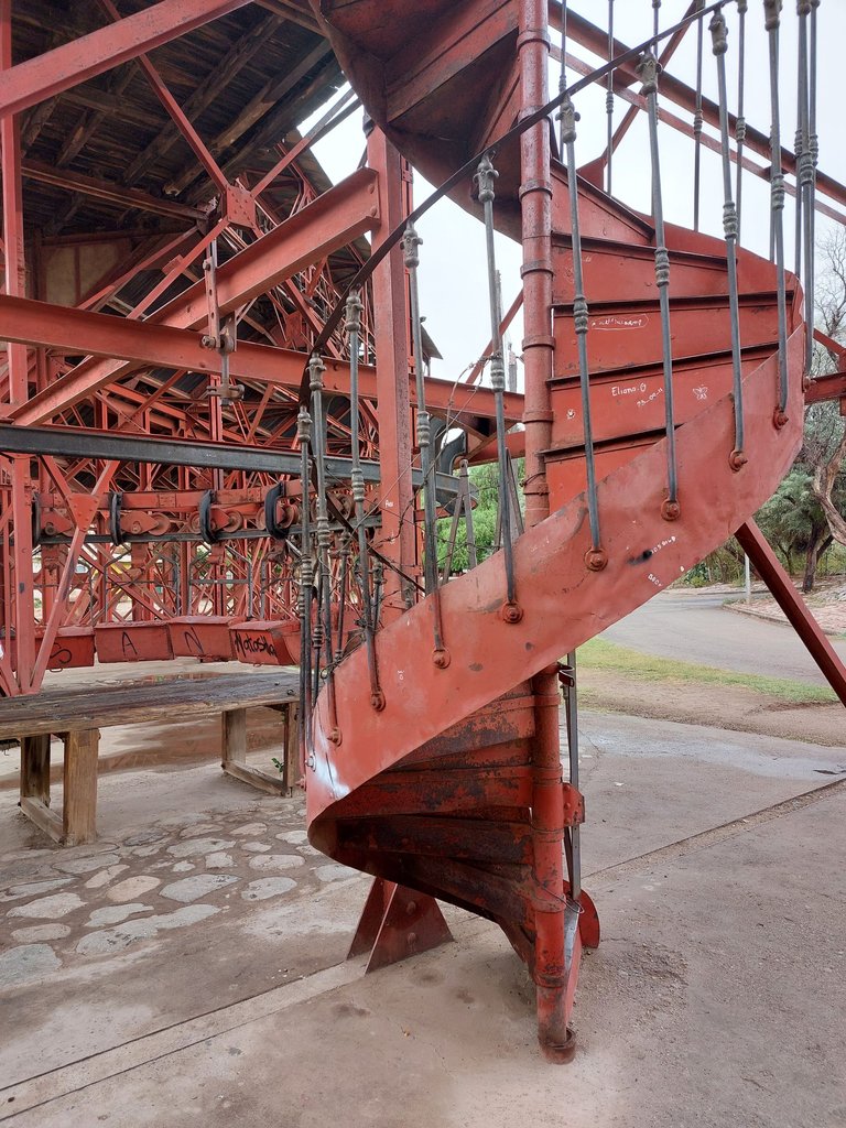
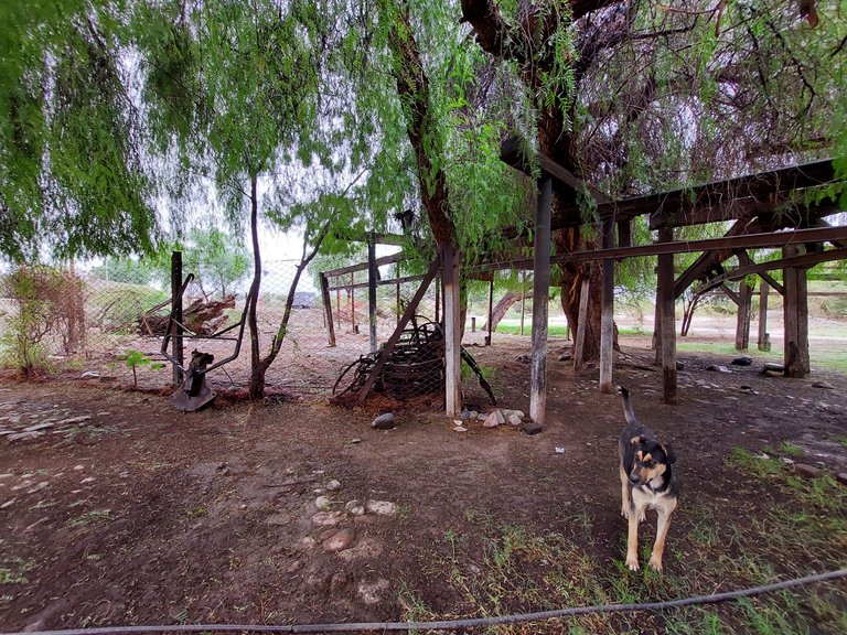
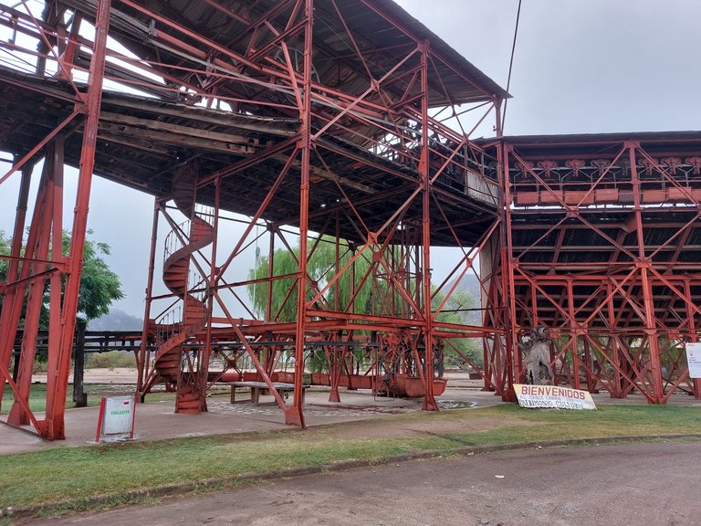
As we left the museum, we headed to visit Station No. 1, declared a National Historic Monument. The construction is imposing, a true engineering jewel of its time. During our visit, I took a large number of photos to capture every detail of this impressive place. The images speak for themselves, showing the magnitude and beauty of the site. It is truly a visual experience that transcends words, and I hope that when you see them you can feel the same admiration that I experienced that day.
Ya saliendo del museo, nos dirigimos a recorrer la Estación N°1, declarada Monumento Histórico Nacional. La construcción es imponente, una verdadera joya de la ingeniería de su época. Durante nuestra visita, tomé una gran cantidad de fotos para capturar cada detalle de este impresionante lugar. Las imágenes hablan por sí solas, mostrando la magnitud y la belleza del sitio. Es realmente una experiencia visual que trasciende las palabras, y espero que al verlas puedan sentir la misma admiración que yo experimenté ese día.
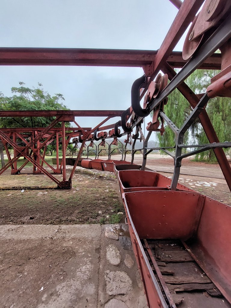
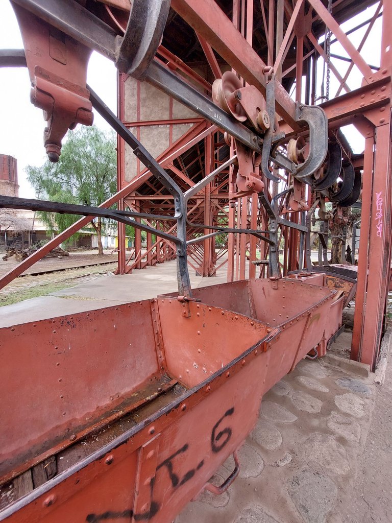
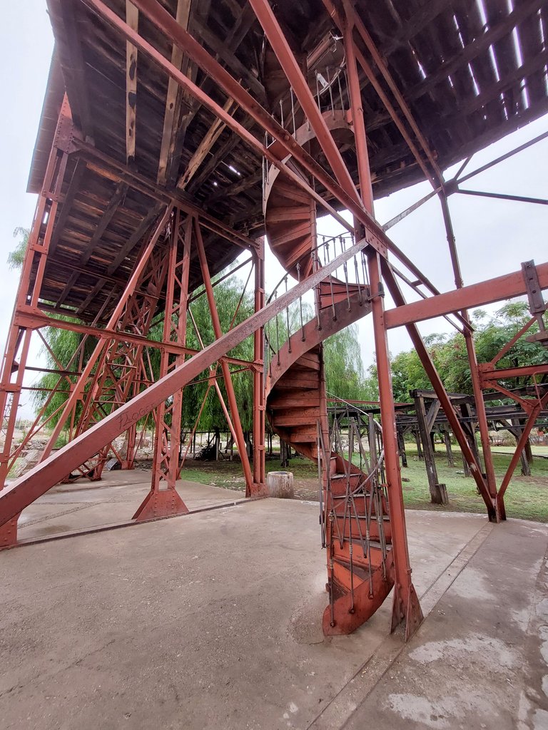
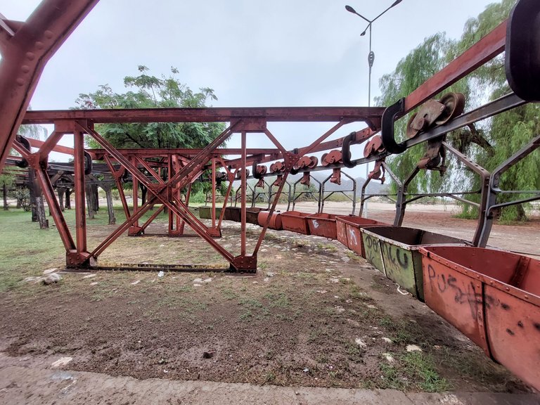
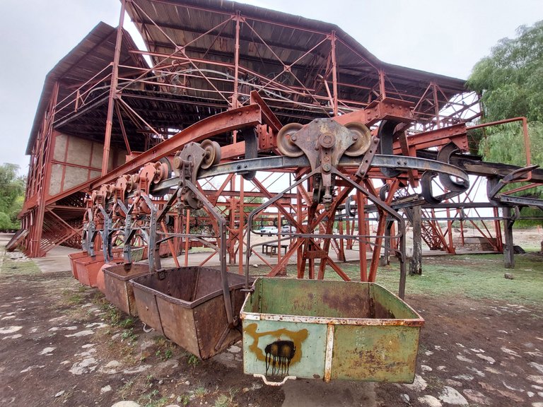
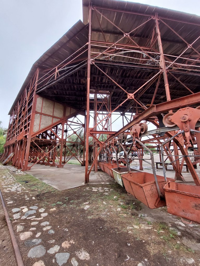
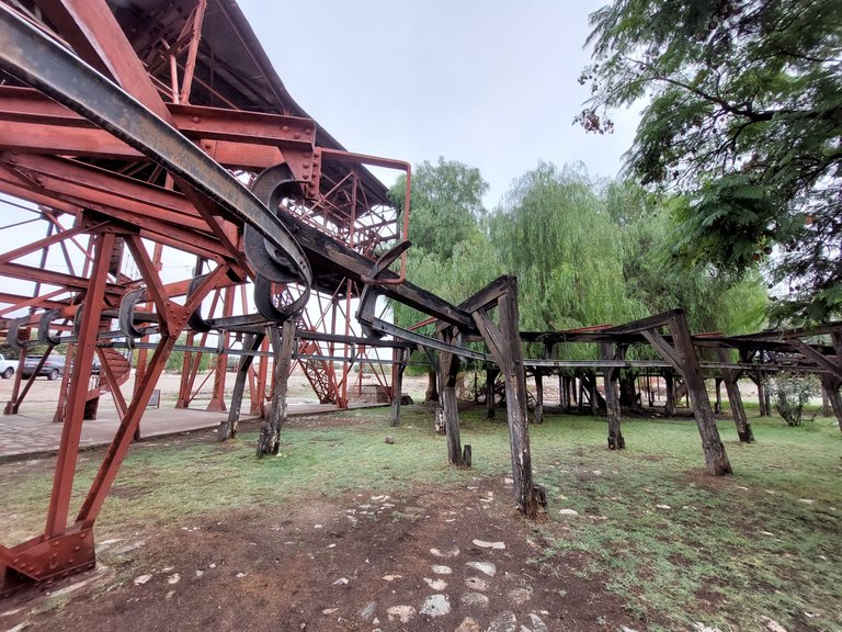
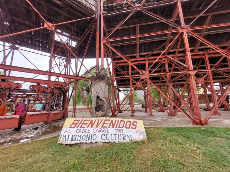
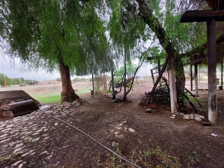
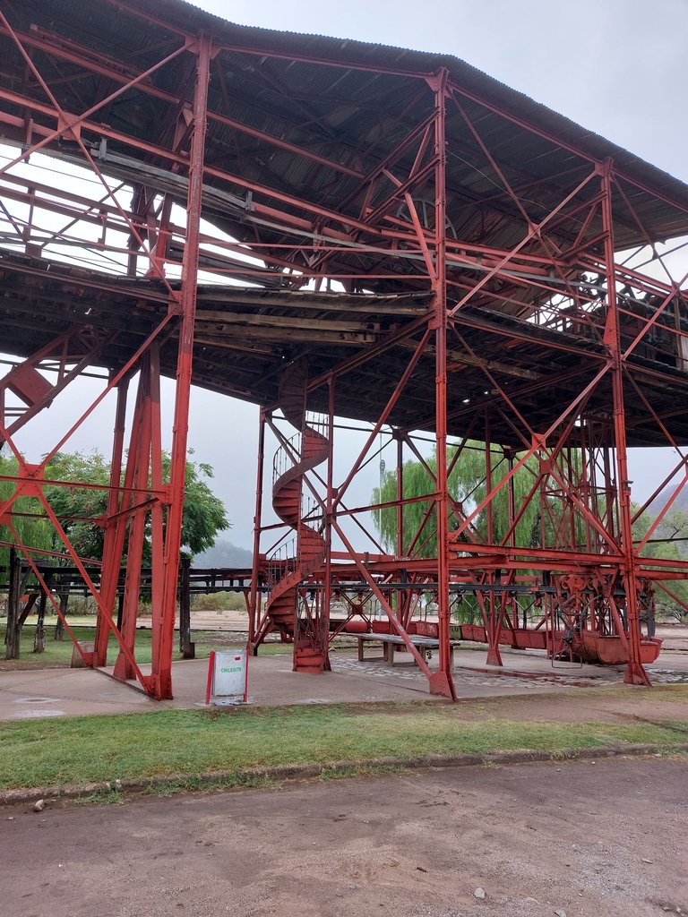
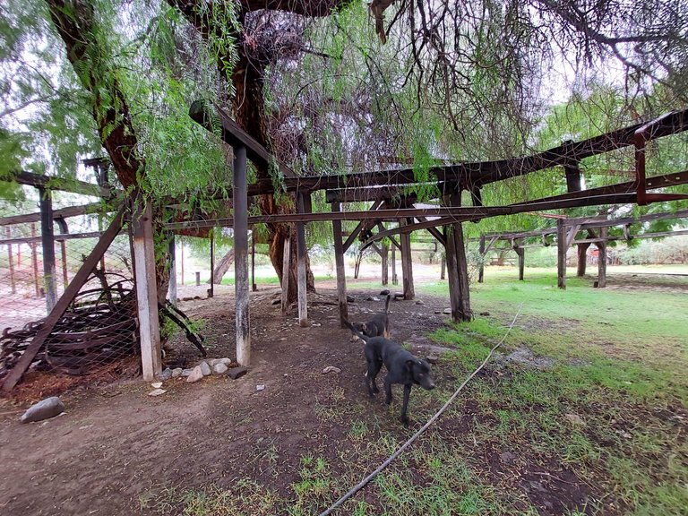
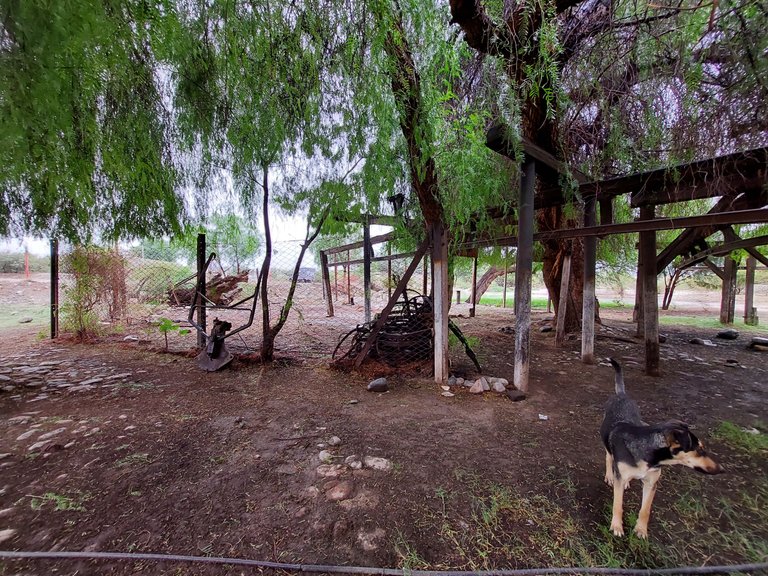
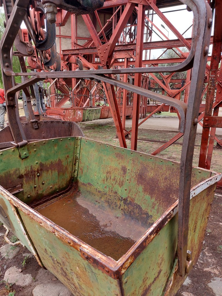
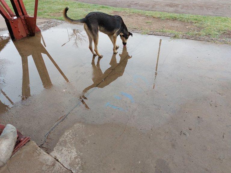
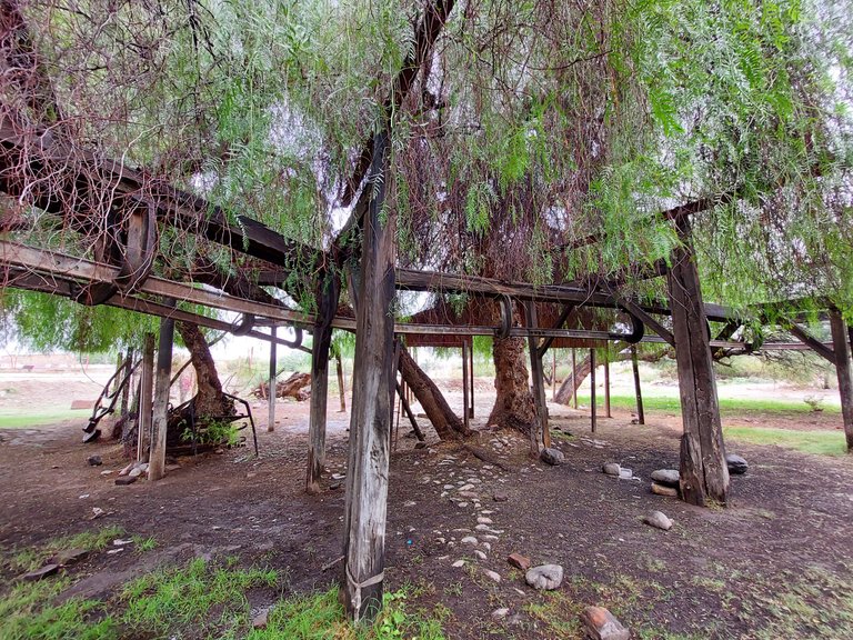
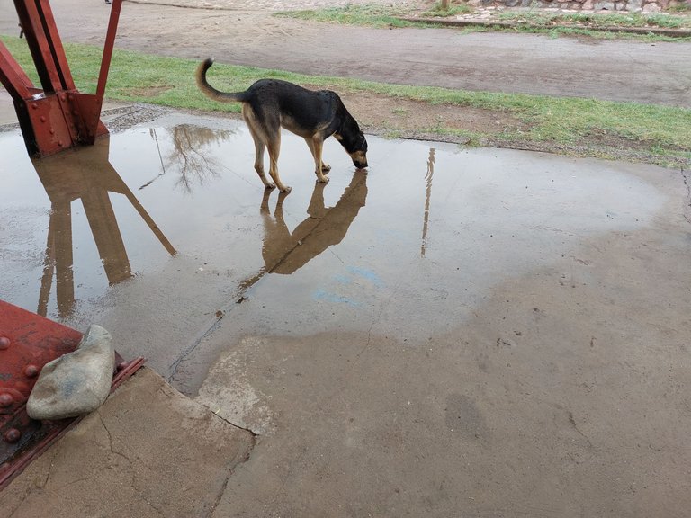
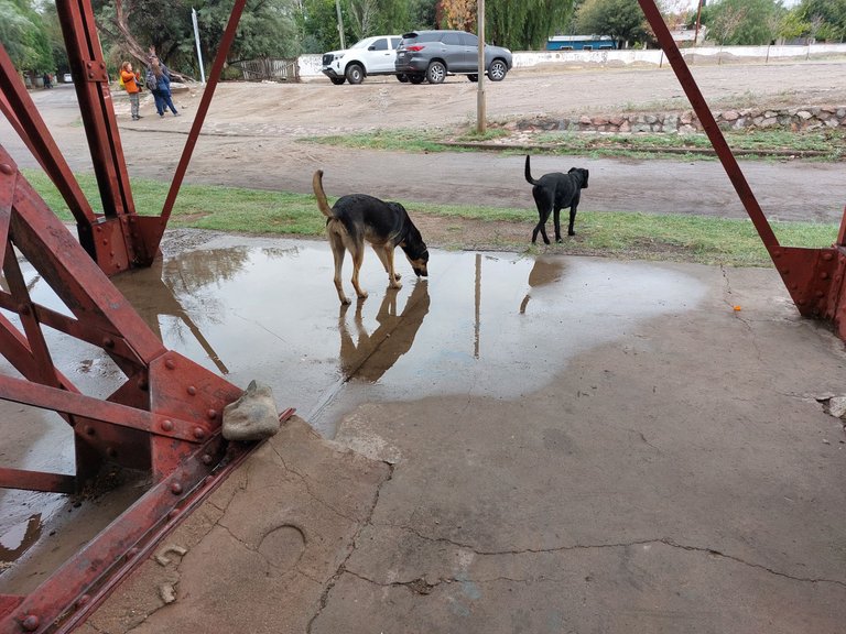
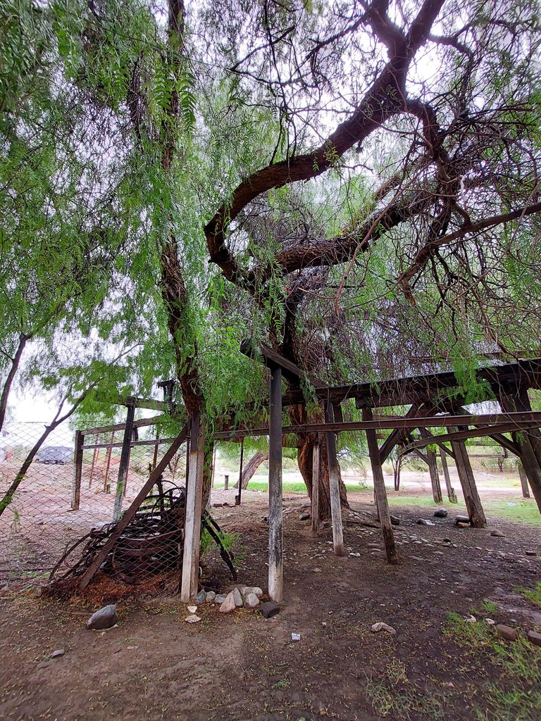
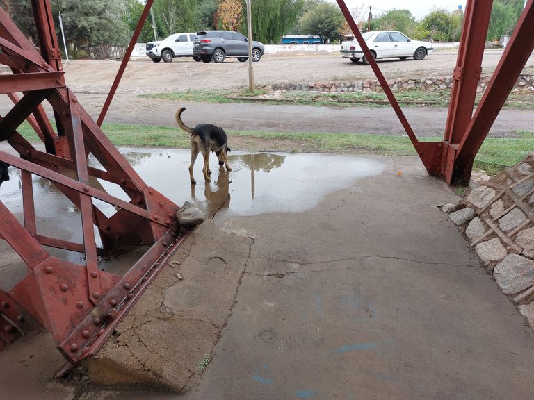
Today, the site is abandoned, a silent vestige of its former splendor. Although it is no longer exploited commercially, its importance today lies in tourism.
This concludes my post today, next time I will upload more photos of La Mejicana.
Actualmente, el yacimiento se encuentra abandonado, convertido en un vestigio silencioso de su antiguo esplendor. Aunque ya no se explota comercialmente, hoy en día su importancia radica en el turismo.
Hasta aquí llega mi post de hoy, para el próximo subiré más fotos de La Mejicana.


[//]:# ([//]:# (!worldmappin -29.18180 lat -67.49126 long d3scr))

