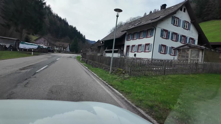
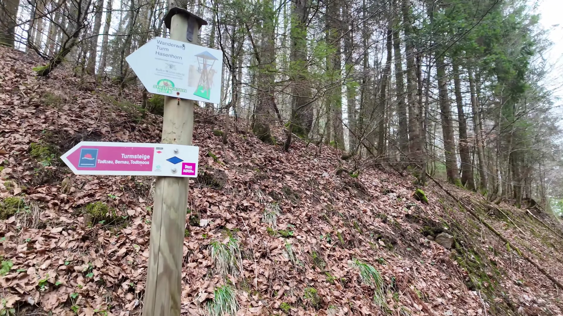
Hello everyone. We embarked on our next hike on a cloudy day with occasional glimpses of the sun. We decided to walk towards a lookout tower located near Todtnau. You can reach the summit of Hasenhorn from Todtnau, Geschwend, Schlechtnau or Gisiboden by foot. For those preferring a more comfortable option, you can take the cable car from Todtnau to Hasenhorn Bergrestaurant and then walk the remaining 150 meters uphill to the tower. We chose a route that was approximately 11 kilometers long. Whenever we get the chance, we love getting out into nature and enjoying its beauty.
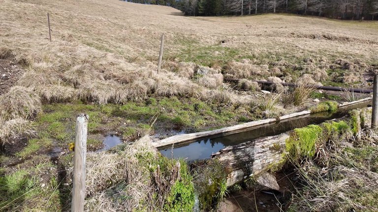
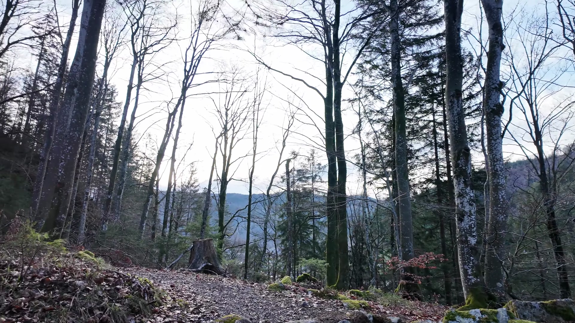
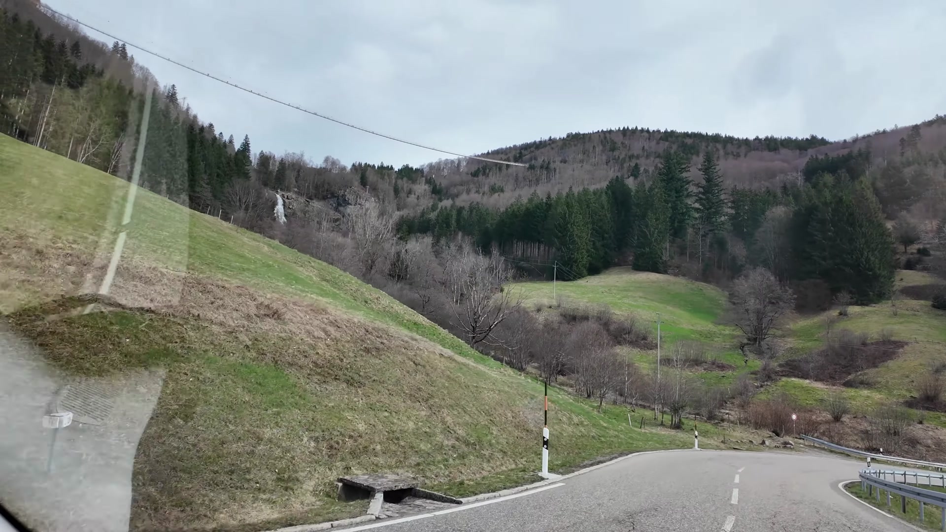
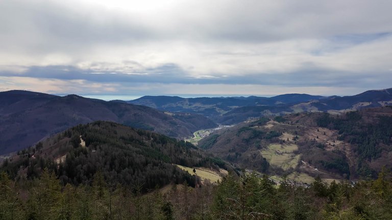
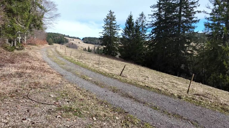
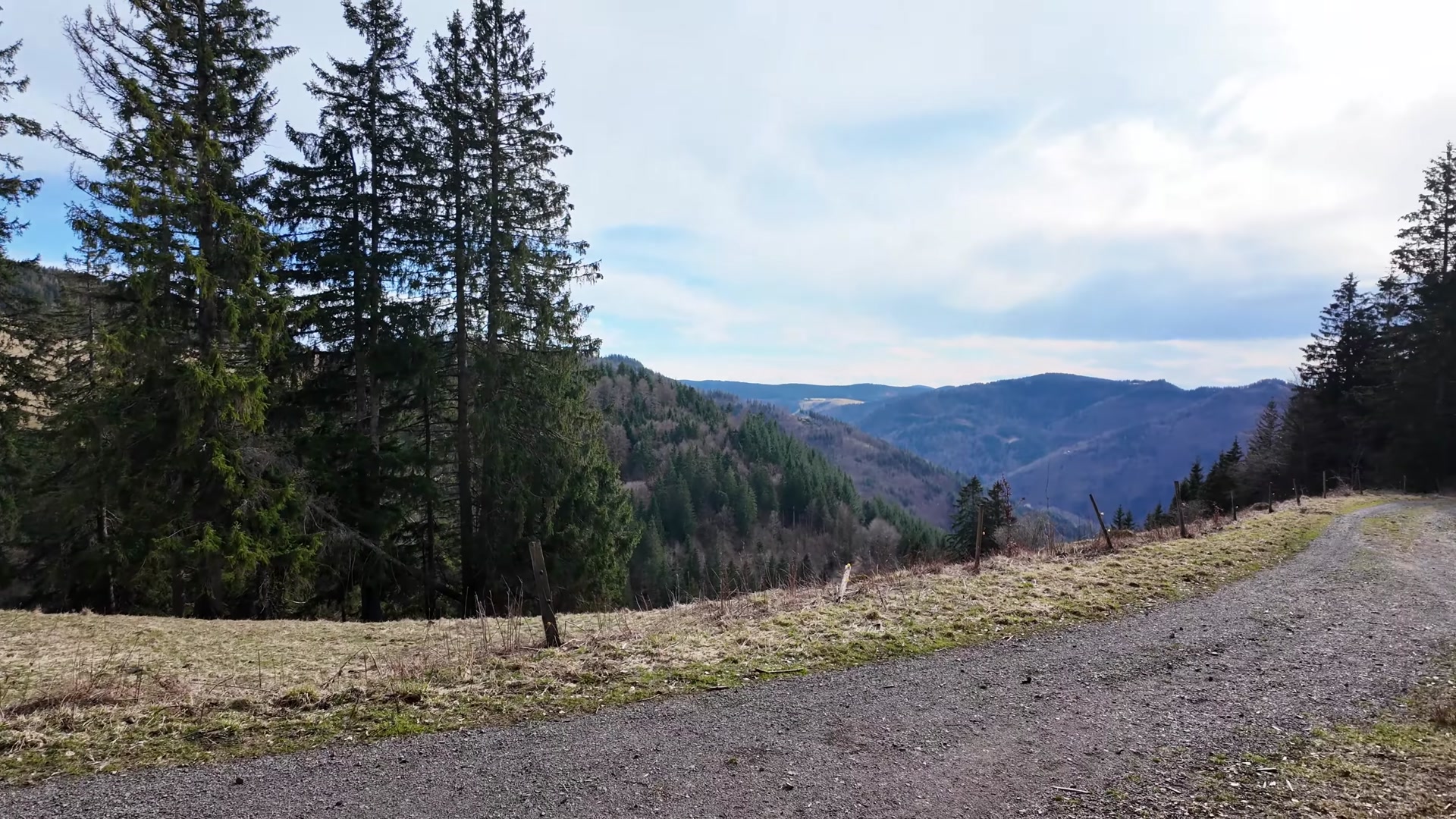
First we arrived at a place with a suspension bridge. We had been here before; there's a waterfall and a suspension bridge. But we continued, wanting to see the tourist spots just beyond this bridge. Along the way we encountered stunning views along mountain trails.
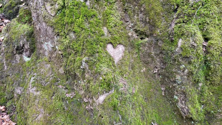
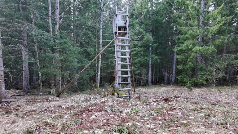
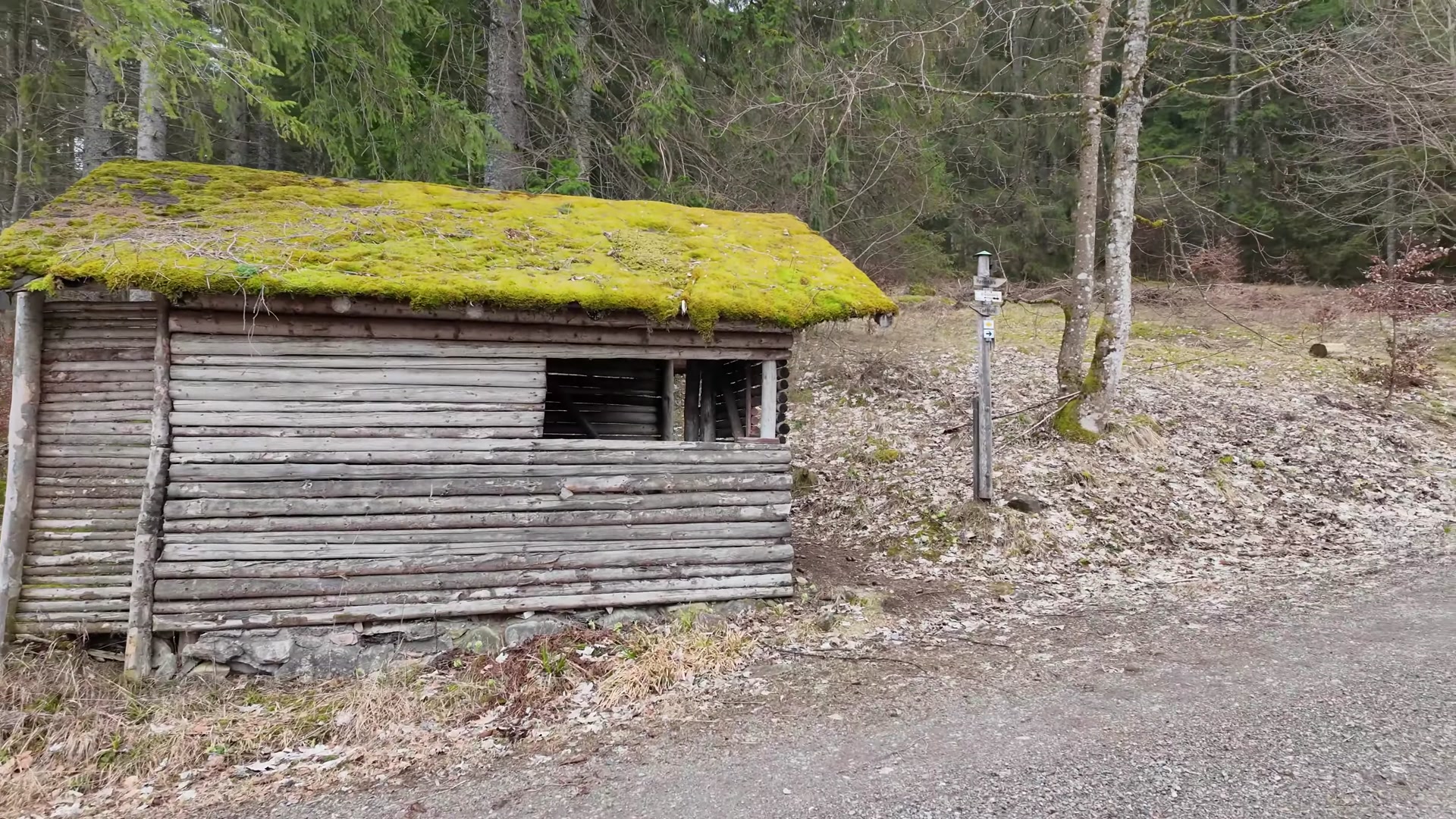
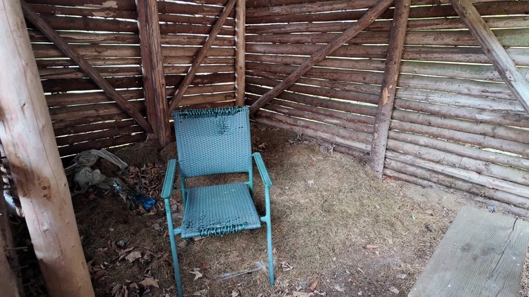
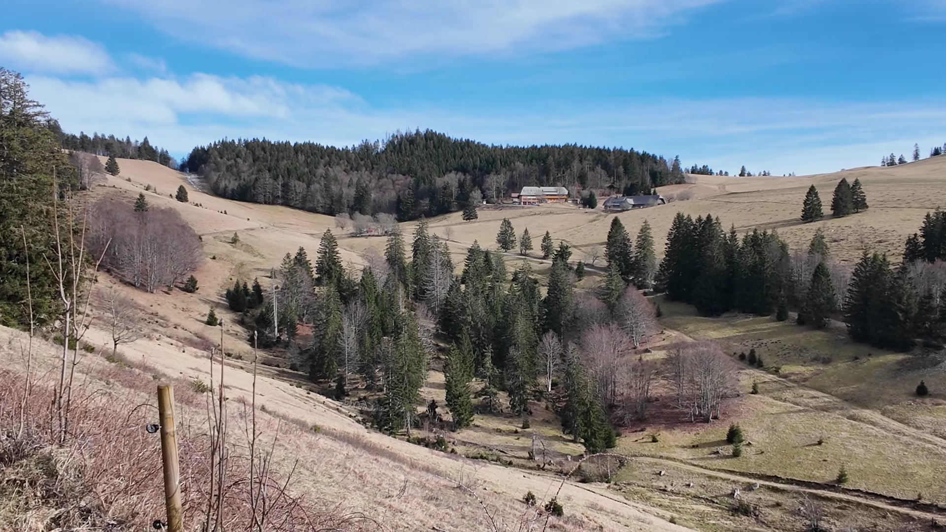
Nature and humans create such wonderful things; we were met with many surprises along the way. The rock formations truly looked like a marvel. We were in awe of these places. We spotted a cabin, a cozy spot with even a bench for staying overnight, a good place to shelter from rain and even to stay in hot weather.
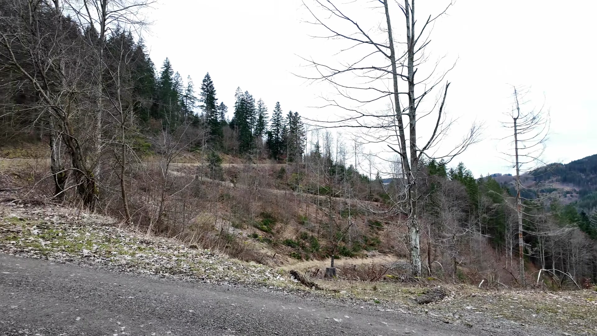
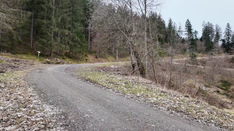
We continued on our way climbing upwards. Our weekends are spent like this, exploring these areas. It's really enjoyable to wander through these regions; the trails are very comfortable. Sitting on benches and having a picnic is also very enjoyable.
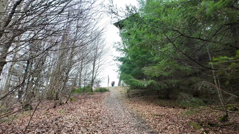
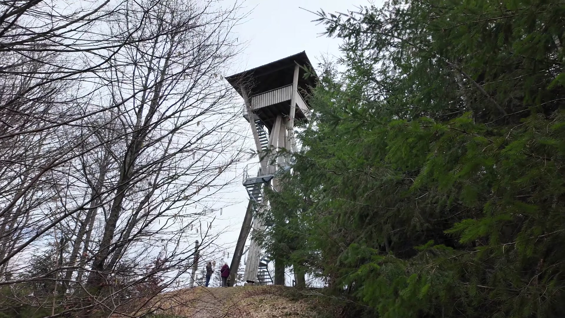
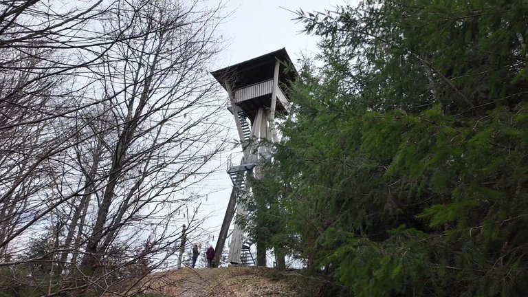
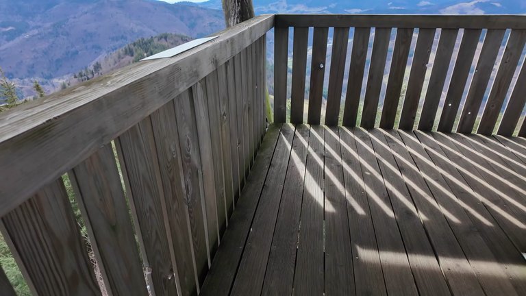
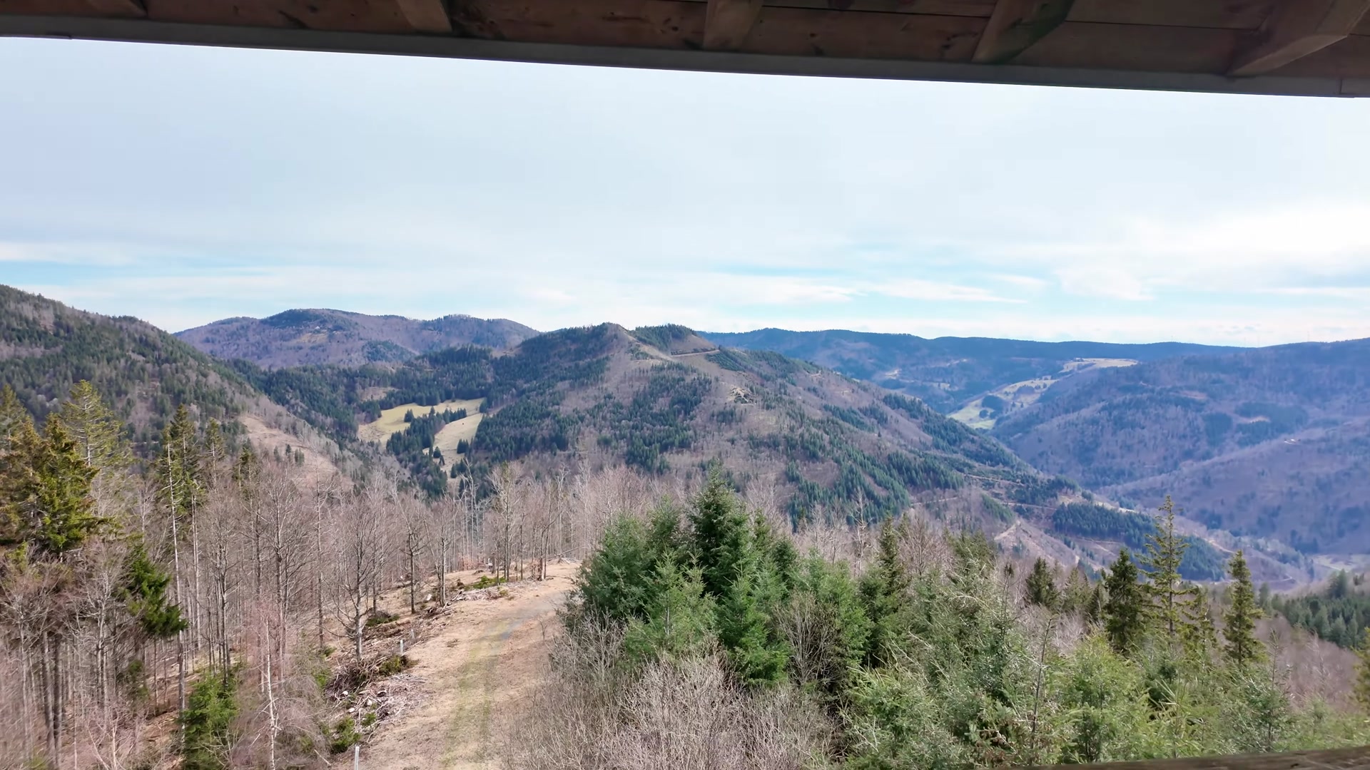
We reached an altitude of 1065 meters. Here stands the Hasenhornturm observation tower, at a height of 21 meters.
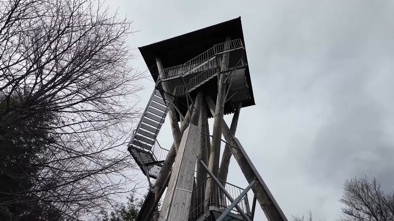
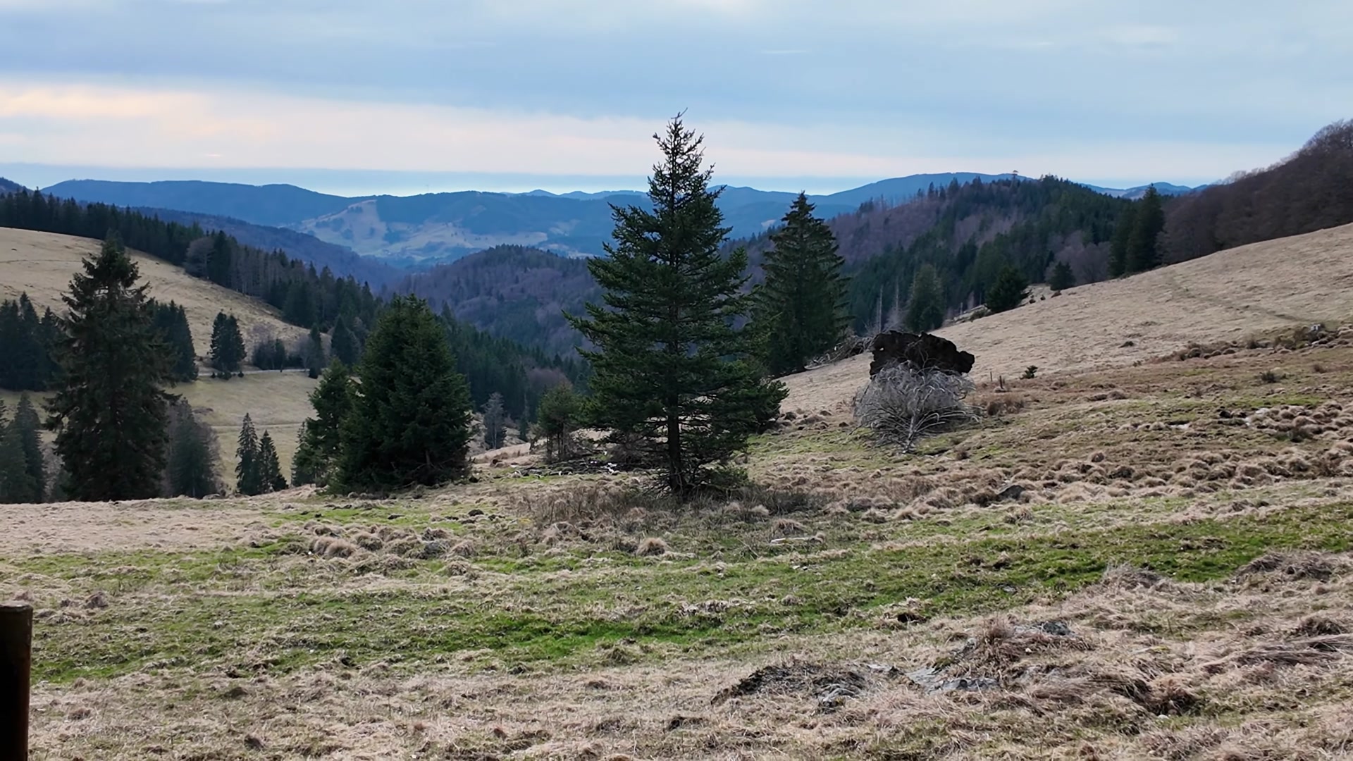
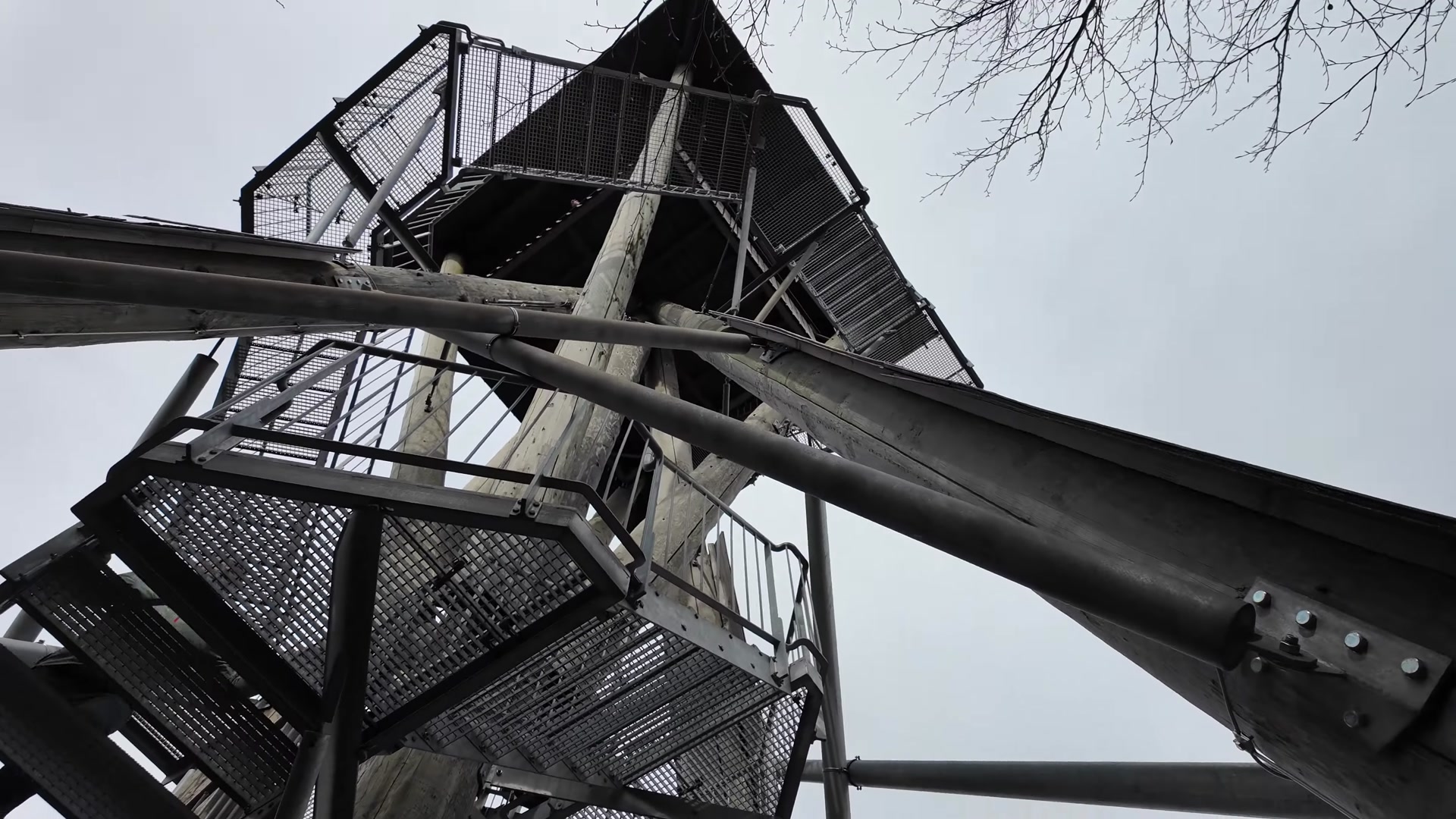
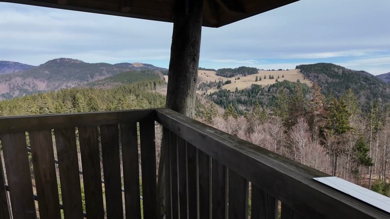
This tower, built from trees over 120 years old, was opened in 2009. It's a sturdy tower that offers an impressive 360-degree panorama: from the peaks of Hochschwarzwald like Feldberg, Herzogenhorn, Blößling, Hohe Möhr, Blauen, Belchen, Schauinsland, to the Vogesen, Swiss Jura and the Alps. We climbed to the top of the tower and were greeted with magnificent views from there.
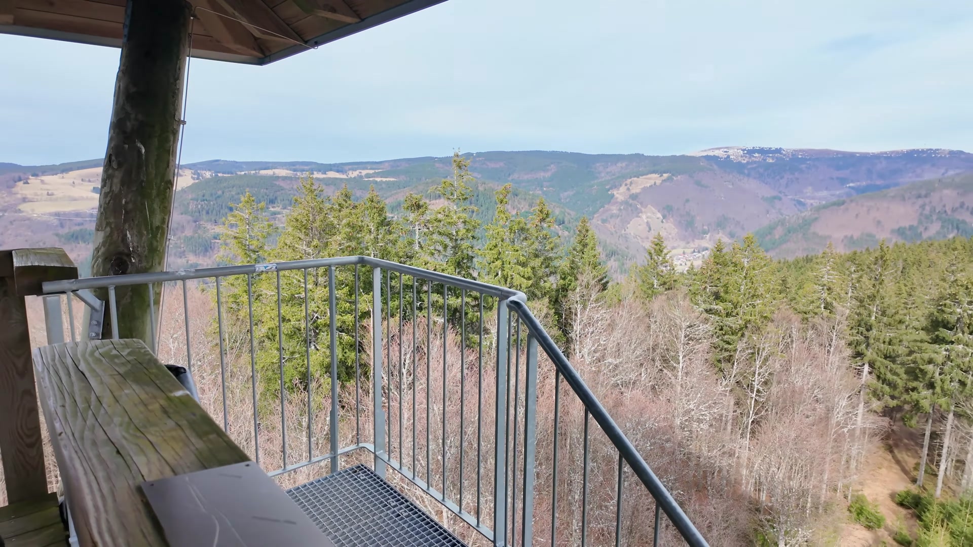
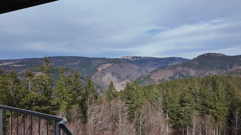
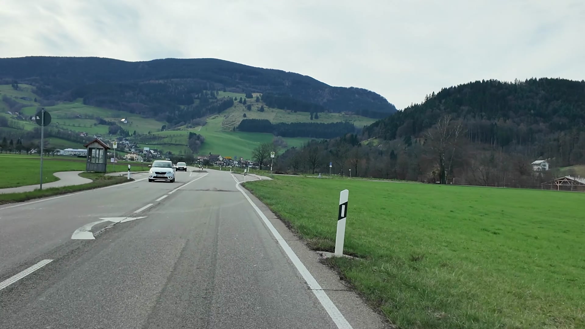
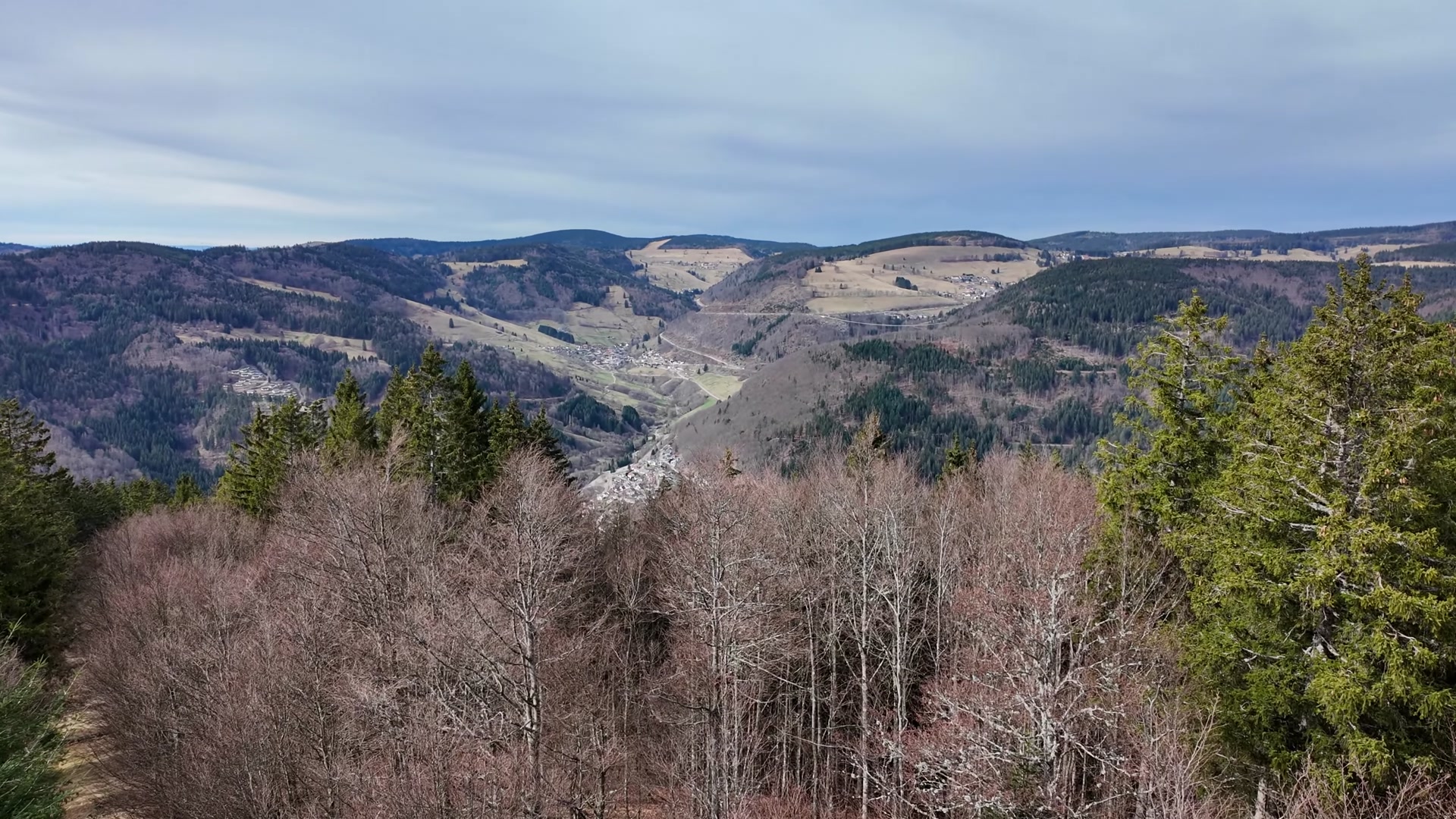
There was a sign here. Our highest mountain in the region, Feldberg, stands at 1493 meters. Below there are small villages, a hotel is visible, people have even built hotels in the depths of the mountains. In the distance, a small suspension bridge is visible. One of my favorite mountains, Belchen Mountain, is located here. Belchen, at 1414 meters high, is definitely on our list to visit this year, it's a very beautiful place.
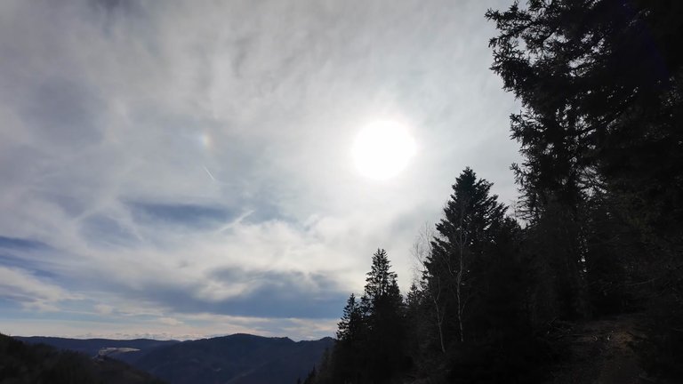
We could have stayed at the observation tower for a long time, observing, but the wind was blowing strongly, it was cold, so we had to continue on our way.
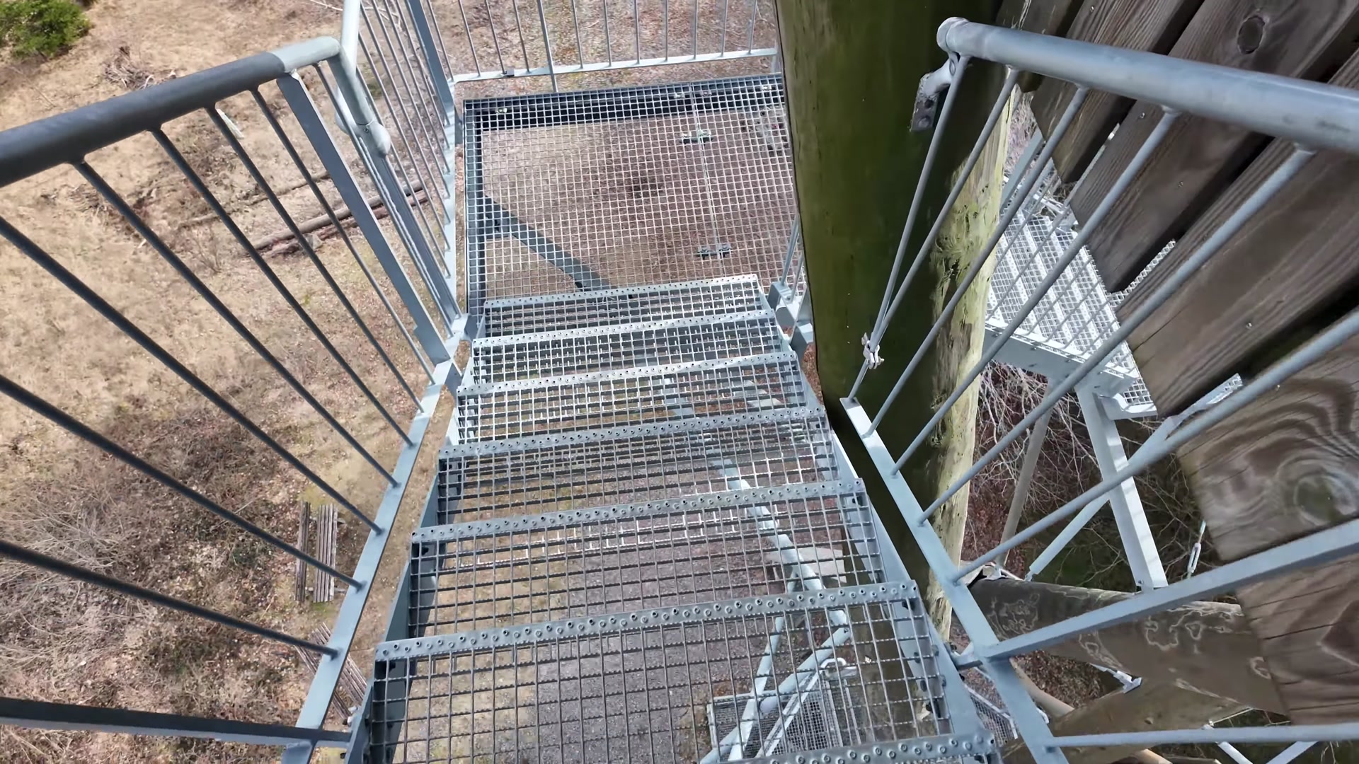
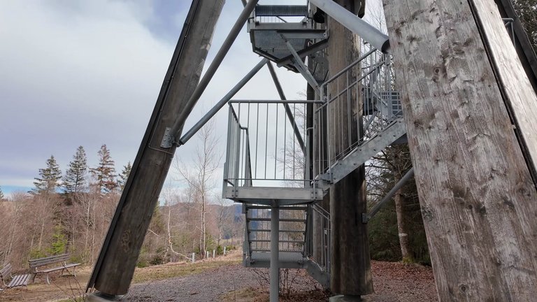
We descended from the observation tower and saw an information board here. It states that this structure cost 160,000 Euros. The tower was built for the city of Todtnau. Approximately 26 cubic meters of round wood and about 12 cubic meters of sawn wood were used for the tower designed by construction engineer Thomas Bauer. About 6.3 tons of steel were used for the supporting structure and stairs. The peak point of the tent roof is at a height of 20.5 meters. Financing was provided through the state tourism infrastructure incentive program funds, sponsorship from Todtnau cable car company and contributions from the city of Todtnau. It's a wonderful observation tower, a place visited by people for its amazing views. We took the tower behind us and continued on our way.
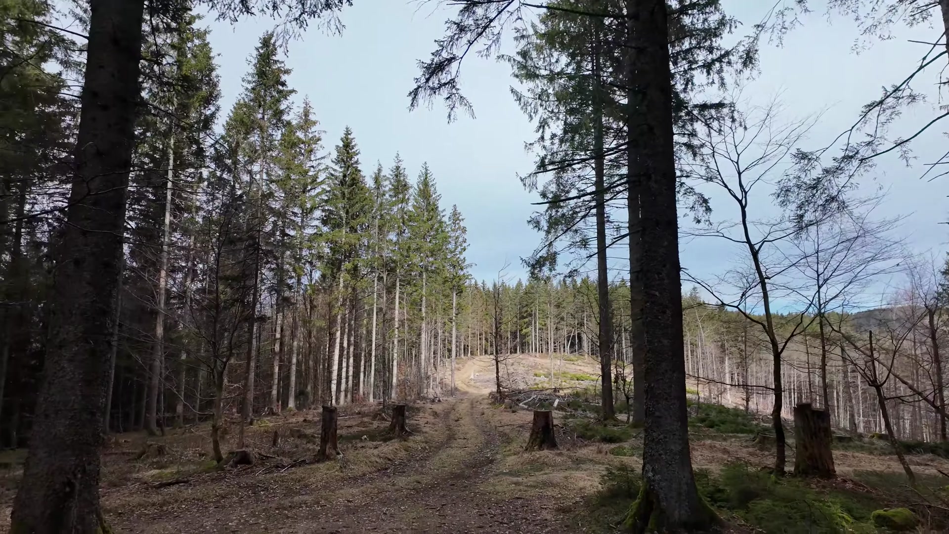
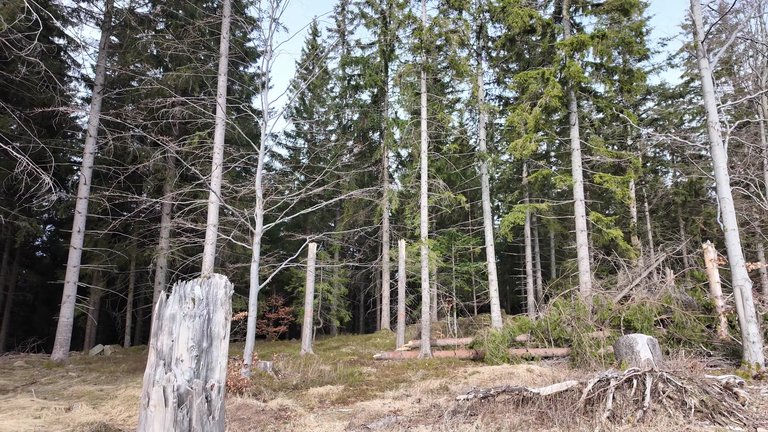
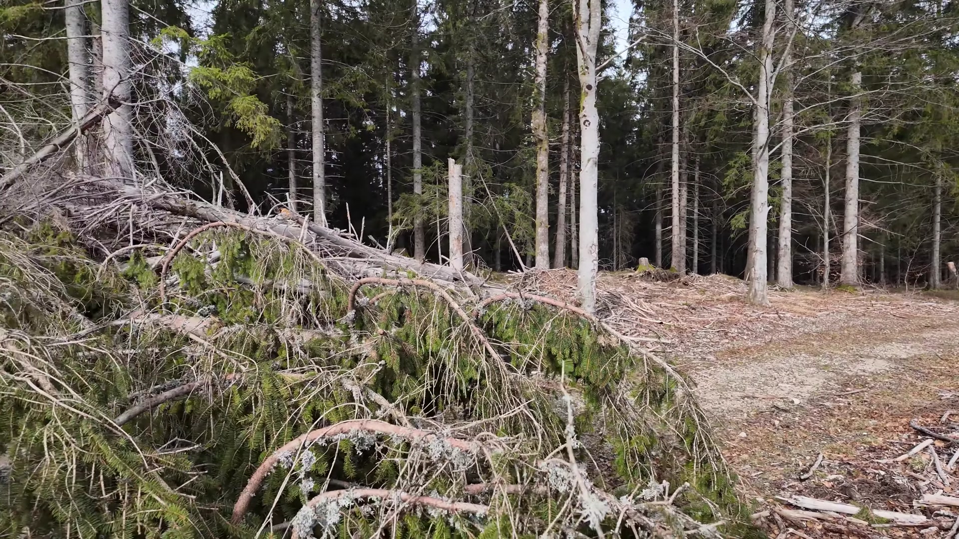
Trees toppled by the wind had blocked our path. We crossed this section carefully. We enjoyed the beauty of nature while the sun was shining, resting on benches and enjoying nature.
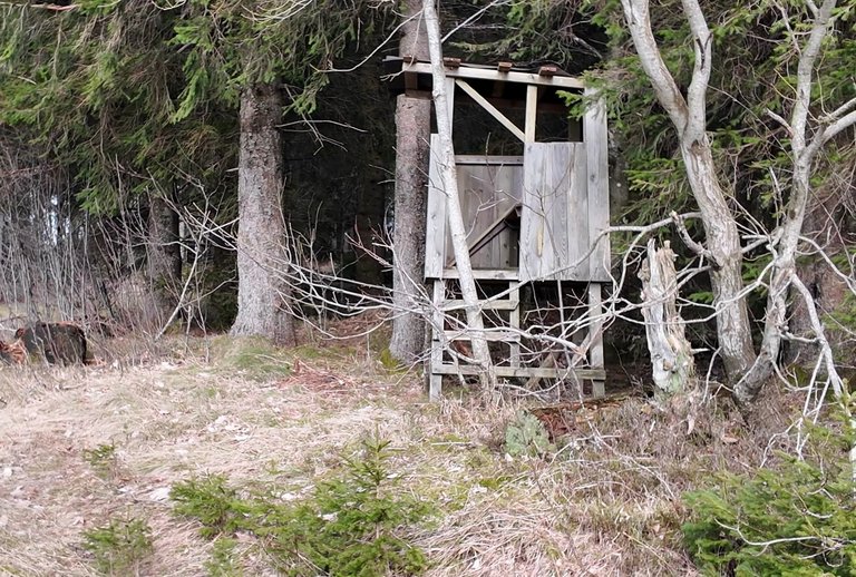
We came across a cabin on the way and even tried to "hunt" with an imaginary rifle. Our path led through the forest. In the end, we covered 11 kilometers in 6.5 hours and enjoyed every moment of our adventure.