Today I want to continue telling about my trip along the Pamir Highway, which I took several years ago. The first post in this series was quite a while ago, in it I told and showed how we got from Kyrgyzstan to Tajikistan, through which the main part of our route ran. So if you are interested — you can see the beginning of the trip here. And I start telling about Tajikistan.
And also, a small preface. I decided that this story will not be a detailed, ordered narrative about the route — day by day, place by place. This series of posts is rather flashes of images from different places in Tajikistan: a photo story, a general impression of the country and the trip, what I saw and remembered and what I want to share, about Tajikistan in general and the Pamir Highway in particular. And I hope to post more detailed stories and photos from some of the places separately later.
So, having passed through the Kyrgyz part of the route quite quickly, our small caravan found itself in Tajikistan — a truly mountainous country, since mountains cover more than 90% of its territory.
Let me remind you of the approximate map of our route.
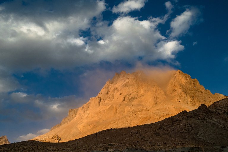
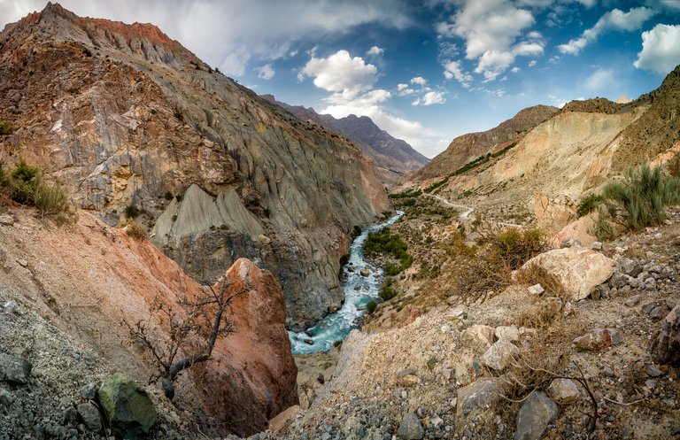
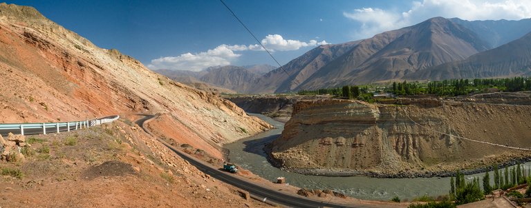
Here, on the roads of Tajikistan, amazing views open up right from the the windows of the car on the road, you don't even have to open the car doors. For example, there is smoke coming from above this mountain peak, but there is no fire to be seen, and there is no vegetation around. They say that somewhere in the depths of these rocks, many years ago, coal seams caught fire and are continuously smoldering. Beautiful and a little creepy!
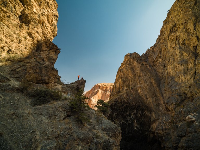
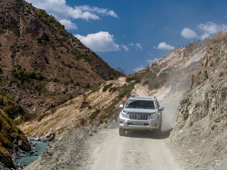
No matter how much we would like to slowly look at each new landscape that opens up on the go, traveling on foot or by bike takes a lot of time and effort, and the Pamir Highway, where the Great Silk Road once ran, is a road that is historically famous and also very, very long. Therefore, we admire it from the wheels, at photo stops and longer stops, when we finally get out of the cars to stretch our legs, take a walk and, of course, climb the rocks :)
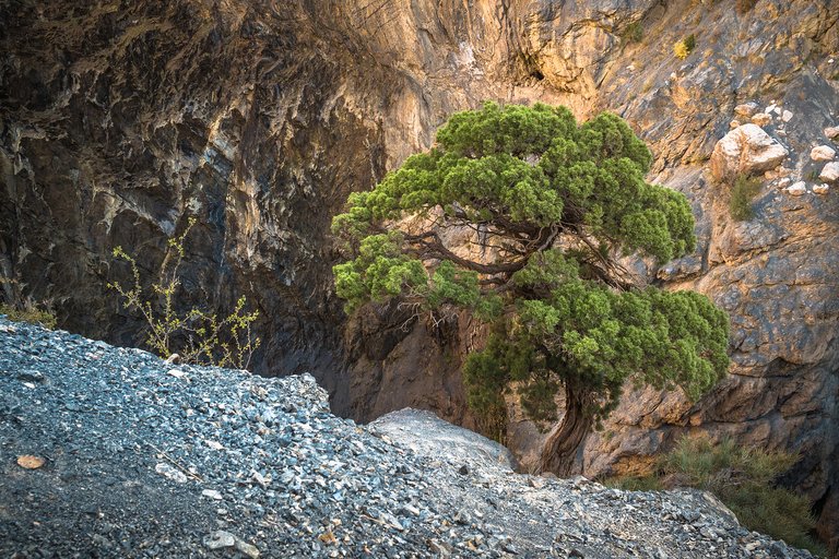
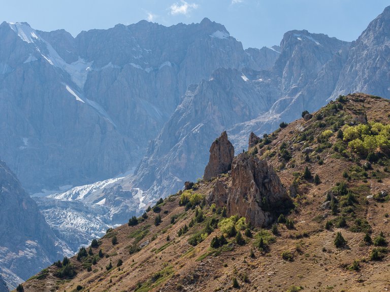
There is much to admire: the choice of mountain landscapes here is for every taste. Many mountains are amazing and colorful. For me, by the way, that whole year was under the sign of colorful mountains. First Iceland, then Kyrgyzstan and here they are — the mountains of Tajikistan.
The history of the Pamir Highway as the first road for wheeled transport in the Pamirs, where before there were only paths suitable for pack animals and pedestrians, begins at the end of the 19th century, during the Great Game. The first separate sections of the road were built by Russian sapper units at the end of the nineteenth century, and in the thirties of the twentieth century, the Soviet Union continued to build the road. This was one of the most massive construction projects, a showpiece for the closest neighbor Afghanistan to see - the USSR is strong! The Soviet Union collapsed, but the roads remained. But some sections of the road are no longer of very good quality.
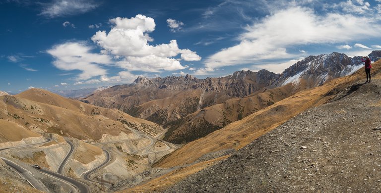
During the trip we visited three main passes of the Pamir Highway.
- Taldyk Pass (3615 m) is located in Kyrgyzstan. I forgot to show it in the previous post dedicated to the Kyrgyzstan part of this trip, so for the sake of completeness let it be here.
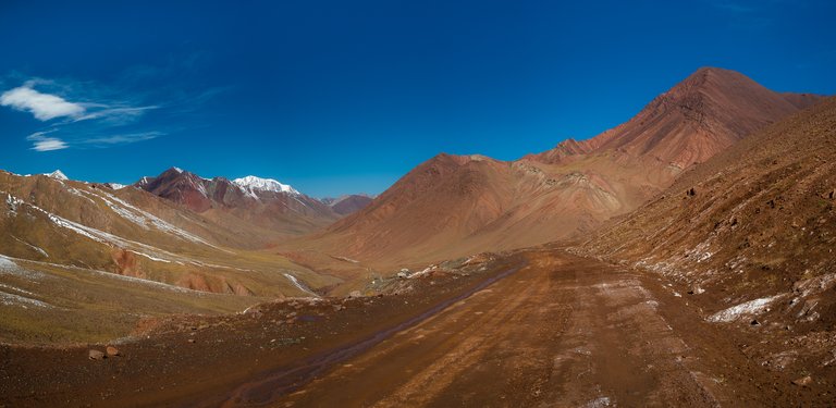
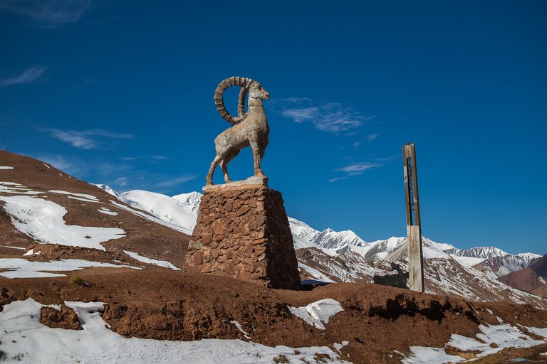
2.This is what the road looks like in the area of the Kyzylart Pass (4280 m) on the border of Kyrgyzstan and Tajikistan. The reddish-burgundy mountains in these places are generously sprinkled with snow powder.
A sculpture of a mountain goat guards the border.
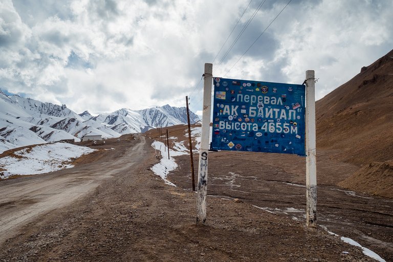
3.And the highest of them is the Ak-Baital Pass (4655 m) in Tajikistan. Here you can already feel the signs of altitude sickness, at least I had them.
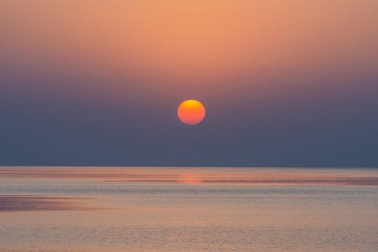
But Tajikistan has more than just mountains. There are many beautiful rivers and reservoirs. I saw this sunset on the shore of the Kairakkum Reservoir.
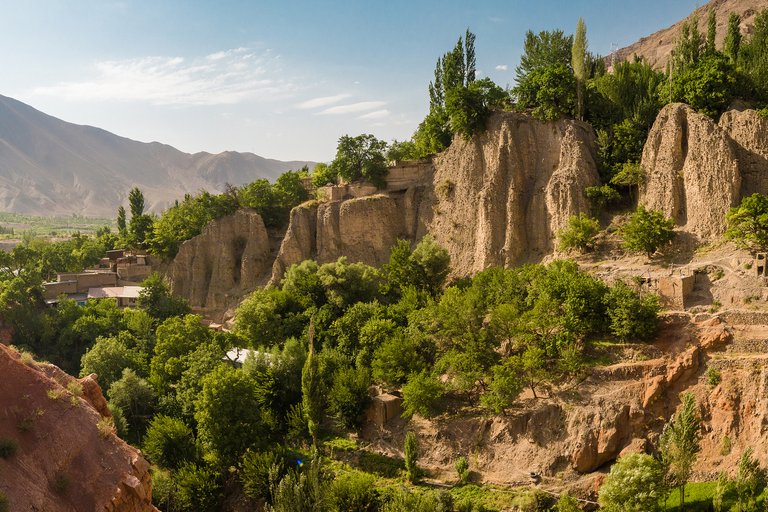
Entrance to the valley of the river Zeravshan. The village of Khushikat. The houses are located right on the slope, which looks like the ruins of ancient buildings. Or maybe somewhere here once was an ancient fortress? Who knows...
The contrast between the reddish, almost lifeless slopes and the green oasis villages along the water is striking.
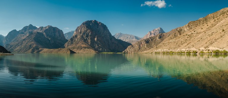
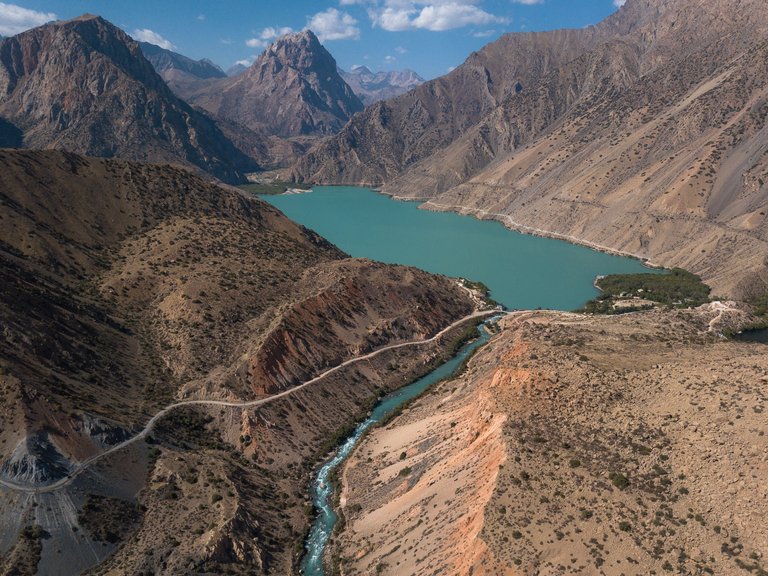
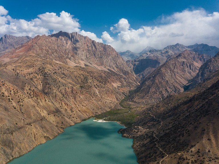
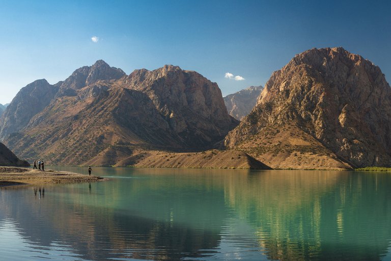
The road led us to a beautiful lake, lost between mountain peaks - Iskanderkul Lake. The color of the water is turquoise, but at different times of the day the color changes. It is hot outside and the lake beckons, offering to swim. You run up, dive in and then your breath catches — the water is very cold!
The Iskander Darya river originates from this lake. If you walk along the left bank of the river along the path, you will soon come to the forty-meter Fann Waterfall. On both sides of the lake you can see two forest areas. On one side there is a tourist center, and there, in the distance, is a place where one of the country houses of President Emomali Rahmon located.
Legend has it that the route of Alexander the Great, the famous conqueror and founder of the Tajik city of Khujand, passed through these places. "Kul" is a lake in Tajik, and Alexander was called Iskander in Central Asia.
Alexander's horse, Bucephalus, died somewhere here. They say that when the full moon rises over the lake, a huge white horse with sad eyes can be seen near the shore — this is Bucephalus, still waiting for his rider, who left these places long ago.
We really wanted to see Bucephalus, but we were unlucky. Apparently he was wandering on the other side that night.
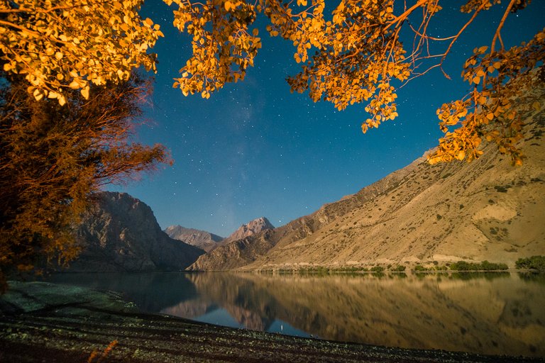
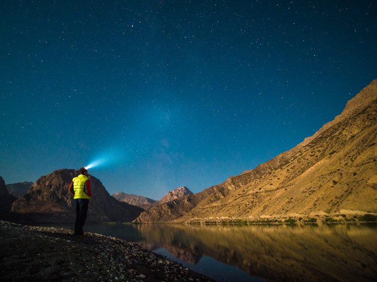
But we saw thousands of stars spread out over a beautiful lake.
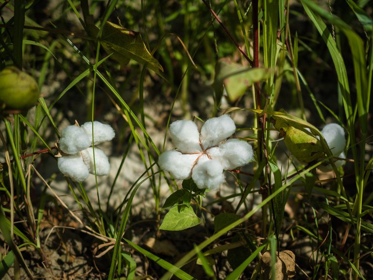
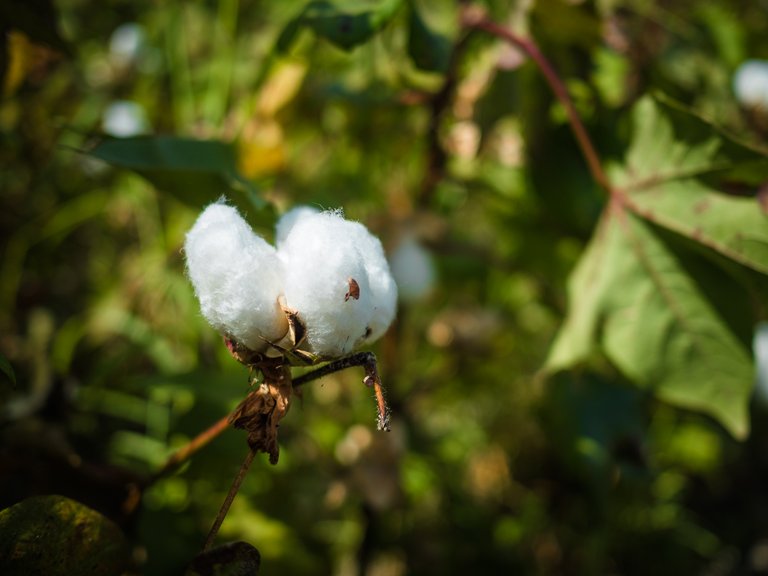
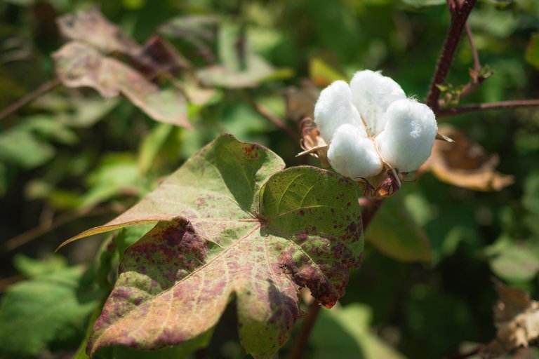
During the Soviet Union, schoolchildren, students and government workers were involved in harvesting almost everywhere on its territory. In the central republics, they usually went "to the potatoes" — people were taken out for several days to help dig up the potato harvest in the huge collective farm fields. And in the Central Asian republics, they picked cotton this way.
 |  |
|---|
There are indeed a lot of cotton fields in Tajikistan; this plant is even depicted on the State Emblem of Tajikistan.
 The source of this image is Wikipedia. The source of this image is Wikipedia. | 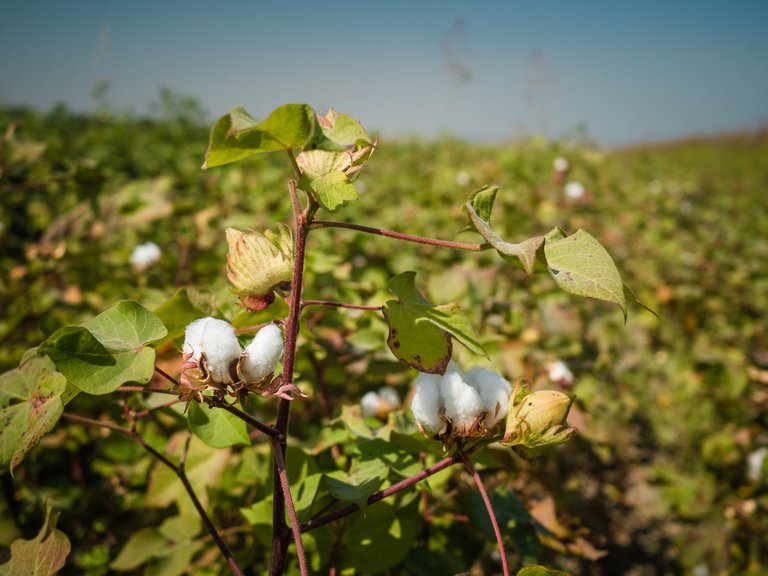 |
|---|
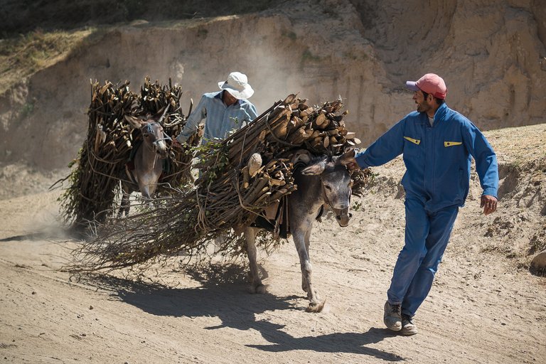
And this is what the Tajik lumberjacks we met looked like. There are few forests in the country, so they cut down bushes. And in some regions, they use organic fuel — yak dung (it's called kizyak) dried in the sun.
 |  |
|---|
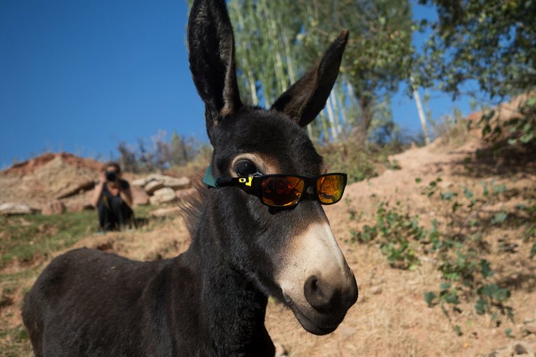
If the donkeys in the previous photos look like they're working hard, there are some that are too glamorous to work. They wear sunglasses and demand watermelon smoothies :)
Ahead of us were many other interesting places, but more about that next time.
To be continued.
It's better to watch the photos in high resolution.
Camera: DJI Mavic Pro and OLYMPUS E-M1 Mark II
You can also see my photos in my blog LJ and in my profile on RTraveler. You also can read a short interview with me here.

