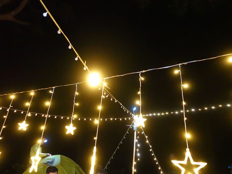
OMG, I can’t believe it’s been that long since my last post. It must have been the craziest month this year, though only two and a half months have passed, LOL.
If you have been following me on Hive, then you may know that I am really into hiking and every year on my birthday I try to make time for a hike. This year, we made it again, I mean my sister and I made it this time, it marked our third hike together since I get back to Vietnam.
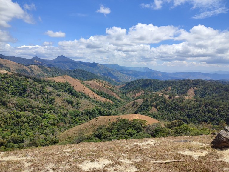
Ta Nang - Phan Dung is a beautiful trail and it has been on my list for a few years, but for many reasons including and mainly Covid-19, this trip was delayed for a while. One more reason we wanted to do it so bad because one of the trailheads is so close to my hometown in Binh Thuan province.
So, let’s go!
Departure: HCM — Lam Dong
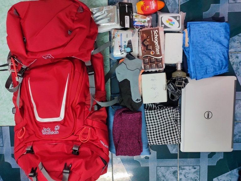
We decided to go on a tour as none of us have gone on this hike before. Also, there are many different routes that could lead to the local farms and crops, we were so glad that we chose the tour as they covered almost everything, we just need to carry the essentials and water for the day.
Starting on Friday night from Ho Chi Minh City, it took us around 6 hours to get to Da Loan commune in Duc Trong, Lam Dong by bus.
In fact, you can start the track from either of the trailheads, Ta nang or Phan Dung, but most of the tours start from Ta nang in Lam Dong province.
We arrived very early in the morning, but we stayed on the bus and took a good rest instead of wandering around.
We only got off the bus and transfer to a shuttle bus to go to the eatery in town for breakfast.
It was still early, but the eatery was packed with trekkers. Apparently, this is one of the frequent stops for trekkers before heading to the track.
We received the water for the morning route which is around 6 km and it covers most of the climb we would do during the track. Each of us took 1 litter of water bottles and the kit provided by the tour, we also packed up everything and get ready, everyone was so excited.
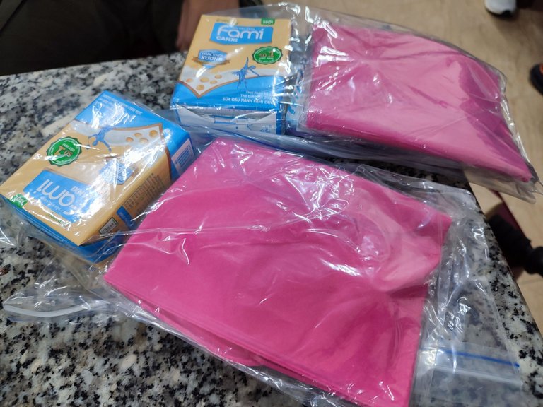
The shuttle bus took us on another 5 km of the road to get closer to Ta nang forest.
Trailhead: Ta nang — 8 a.m
We did a little warm-up while the leader brief us about safety and protocol in case we are lost or get hurt. They also provided us with trekking poles and gloves.
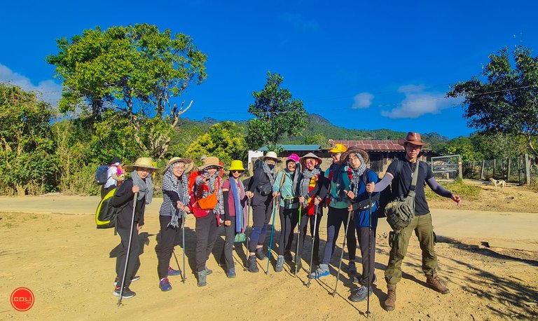
Here we go!
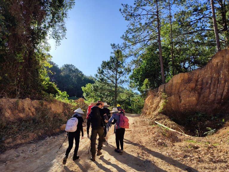
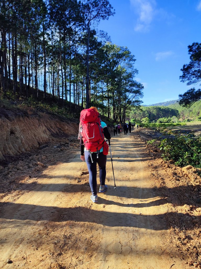
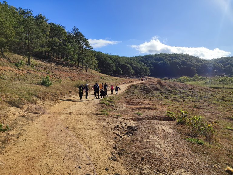
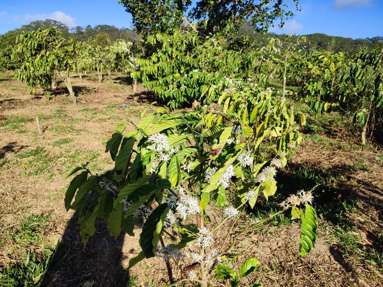
The first part of the trail is a walk in the park. We walked past a lot of coffee farms along the way. This time of year is also the time the coffee trees are in bloom. Though I saw it on TV, we were still amazed by these stunning white blossoms.
We also saw some local people on their way to work. This is the settlement of many Churu people, an ethnic group here.
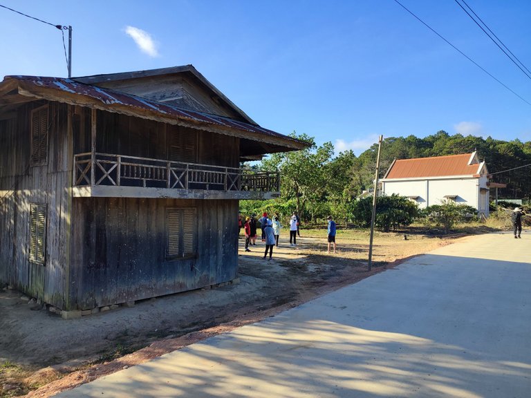
The time from January till May is the dry season here, though it was perfect for the hike, we had to watch our steps or the ones from behind could inhale all the dirt from the balsatic soil.
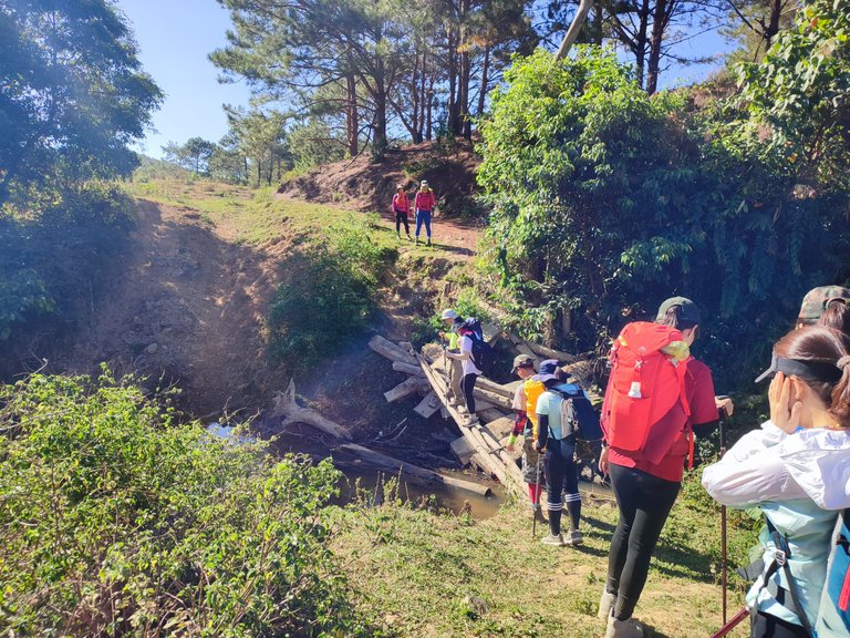
As we passed the last stream, the track started to get steeper, but it was fine after we got into the mode.
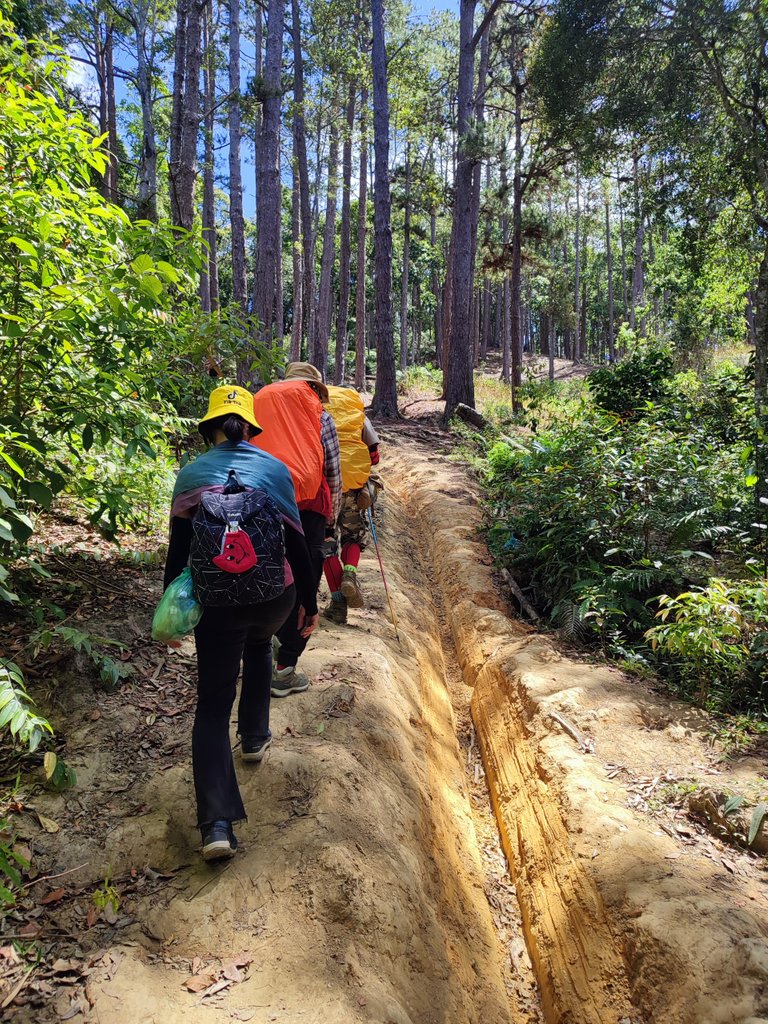
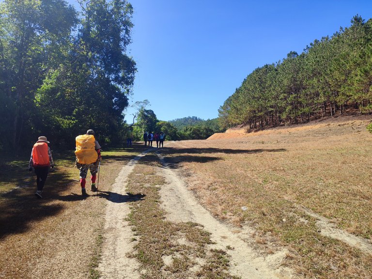
The first slope — “Mẹ ơi” slope.
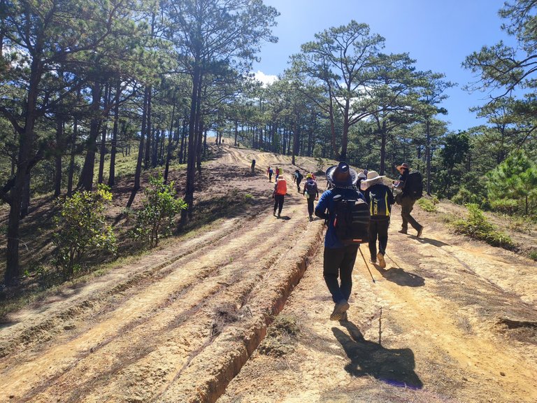
“Mẹ ơi” is an exclamatory expression, the tour guide told us because the slope is so steep that everyone complains about it and that is where the name came from.
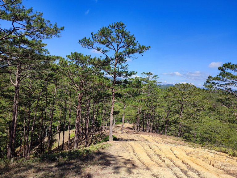
The second slope — “Chửi thề” slope.
“Chửi thề” is swearing in Vietnamese, though the second slope is not as steep as the first one, it seems like a never-ending one, so you may hear people say “Darn it! Will it ever end?”.
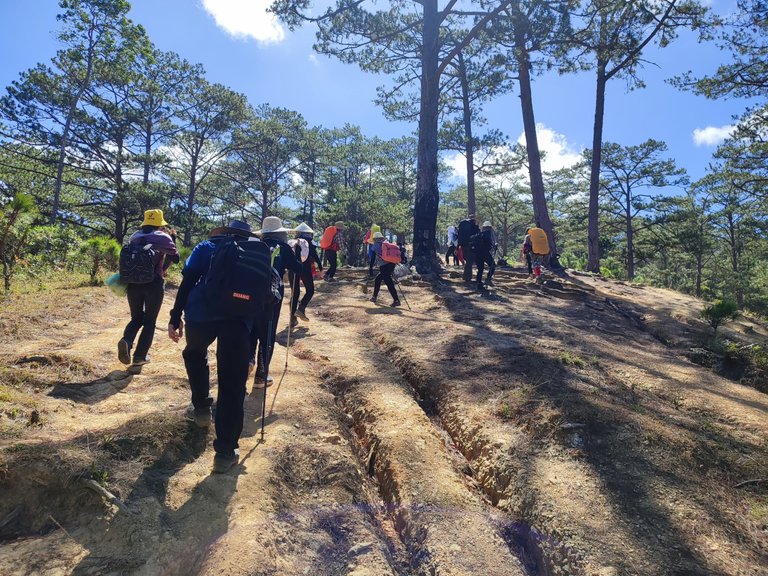
It was nearly midday and the sun was at its peak, we could still enjoy the light breeze as we were walking through the pine forest.
As soon as we left the forest, an area of seemingly endless hills opened in front of us. Since this time is the dry season, most green grassland has been replaced with darker lands where the grass is burned under the heat.
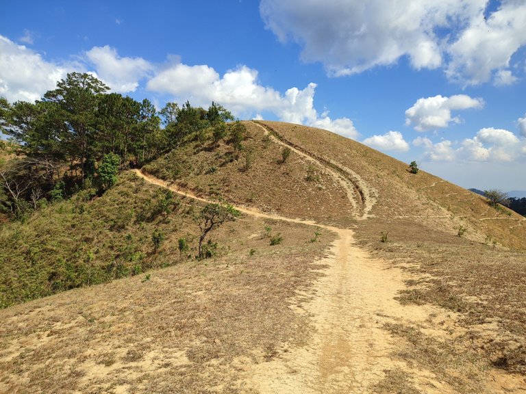
We had to stop to admire the panoramic view of the forest and surrounding hills. The view was amazing that we totally forgot the heat of the afternoon. Be careful to wear enough sunblock though, the heat was so harsh that I got sunburned.
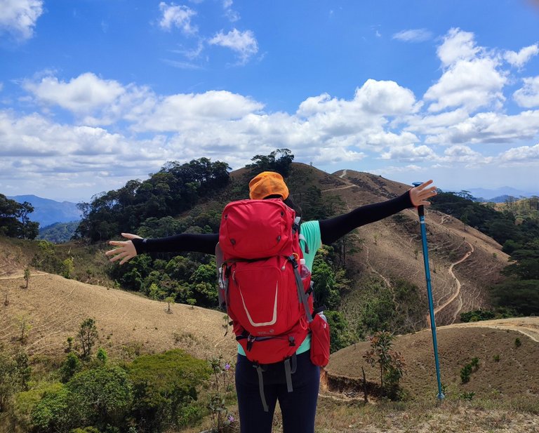
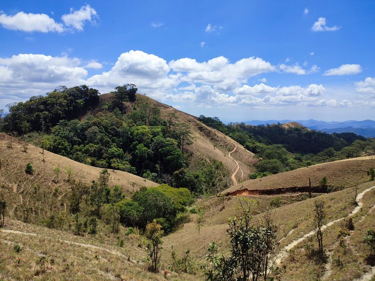
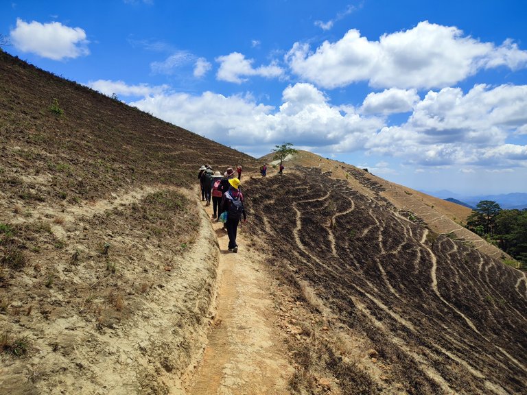
Summit 1,168 m.
Not long after the check-in point, we reached the summit without even knowing. It is marked with a triangular inox shape on the biggest stone.
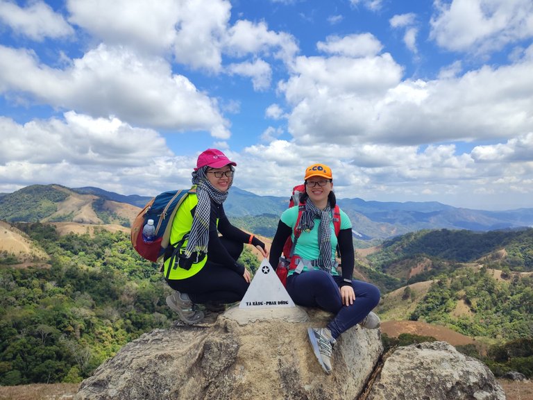
If the tour guide had not pushed us, we would have stayed here forever, can’t get enough of this view.
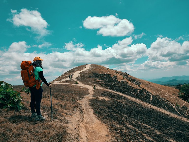
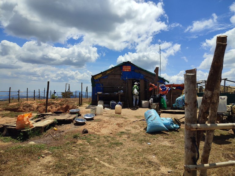
Just passing a couple of hills, we stopped to have lunch at the ranger station, this is also the place that marks the border between Lam Dong and Binh Thuan province.
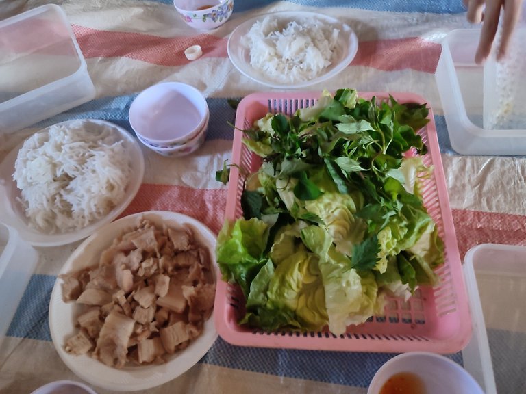
Our lunch could not be better with boiled pork and vermicelli noodles roll served with fish sauce dip, but I found the iced water tasted even better, LOL. If water is precious, then ice is like gold here, especial under this crazy heat.
We took a short rest after lunch, filled up our water bottles, and got ready to leave.
Saying goodbye with “the top of the world”, now the descent began.
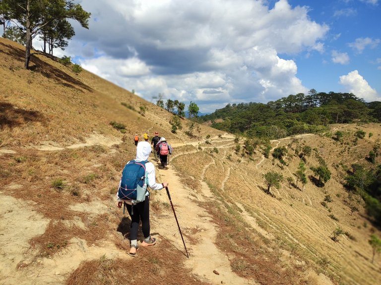
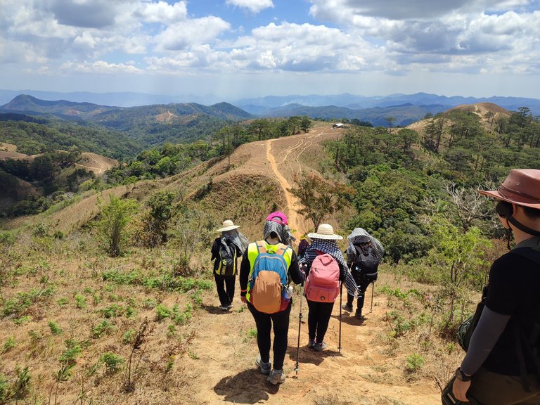
I always struggle with going down, especially when the track is steep. The slope slowed us down as some members of our team have their knees hurt.
Luckily, most of the track is relatively flat. We were walking and witnessing the incredible change of scenery, the mix of the pine forest of the highlands and dipterocarp forest which is common in tropical regions.
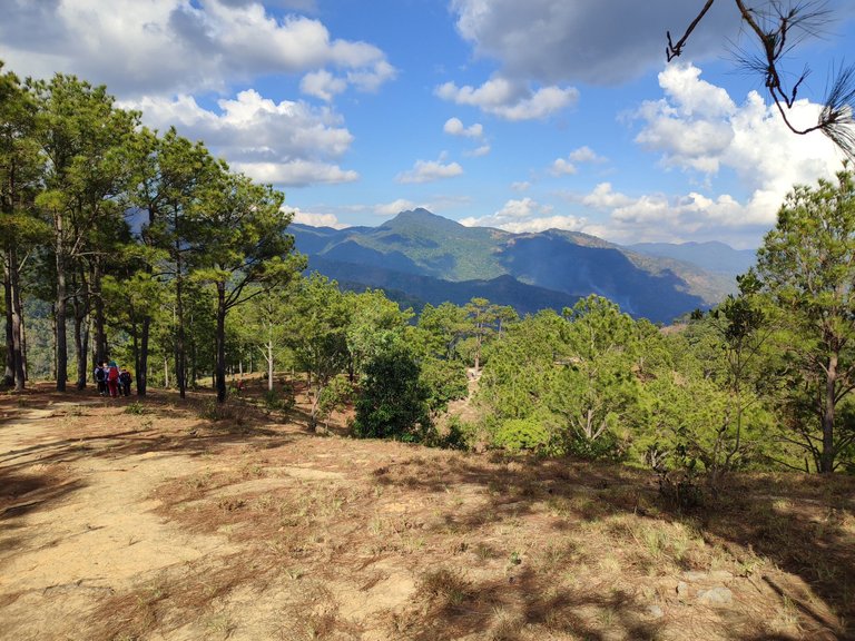
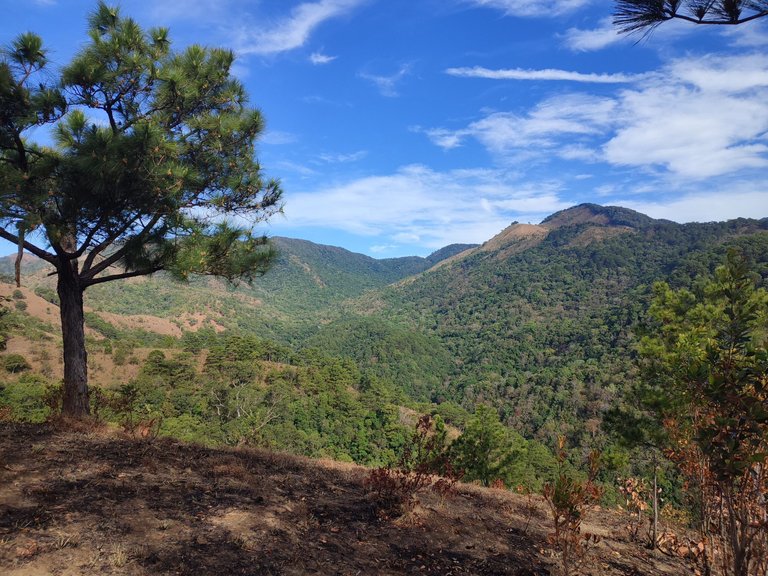
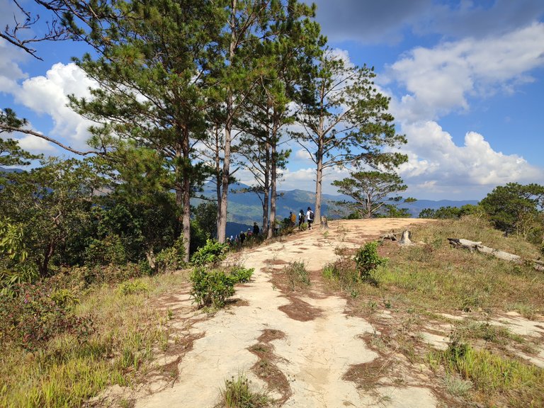
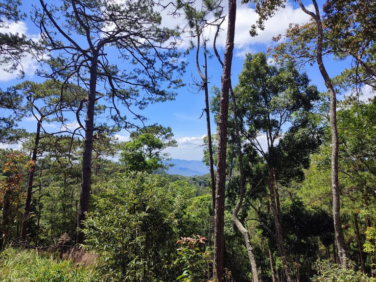
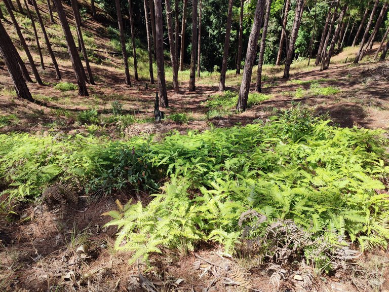
We finally reached the camping site after another 5 km of the track. It was still early, just a bit over 4 p.m, but the tour guide told us this was the best place to camp before dusk as the night falls very quickly in the forest.
Camping: “Dốc Mẹ ơi” hill
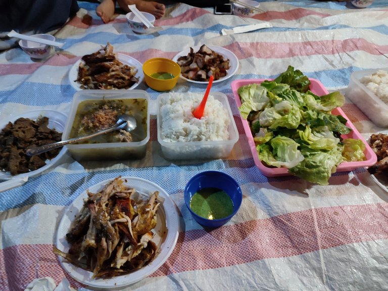
When we arrived the porter team had prepared all the food, the menu for dinner includes grilled chicken and pork, salad, and rice wine. I usually had to carry and prepare all these things in our last trips, but it is nice to pamper ourselves once in a while.
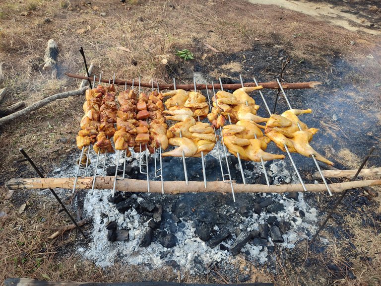
The tent is set up for the bathroom and each one of us had 3 litters of water for personal use. I know it is not enough, but when you are in the middle of the forest, any water counts.
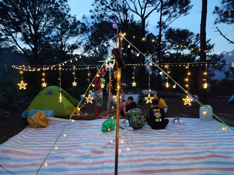
We had so much fun that night, everyone was bonding, singing, dancing, and playing games. We shared our trekking plan this year, who knows we could meet again on another mountain.
While my friends were waking up early to watch the sunrise, I only woke up when the sun was already up high and I needed a cup of coffee to start the day.
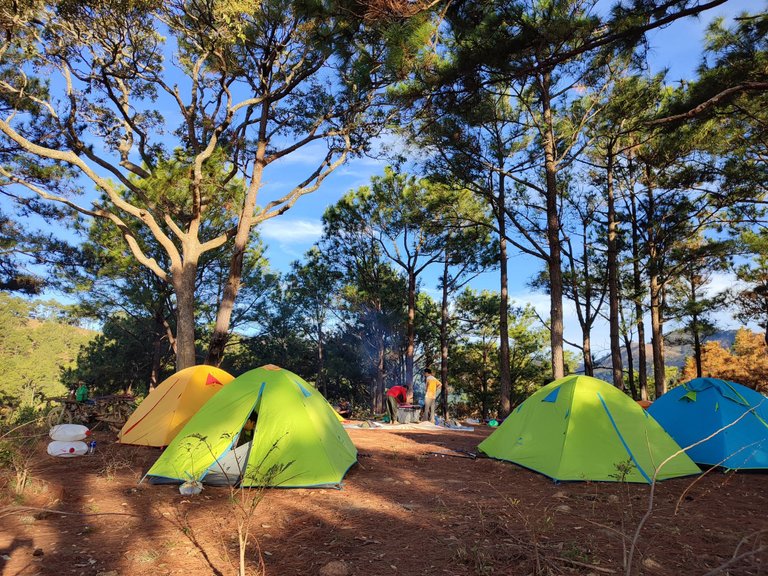
After a quick breakfast, we cleaned up the campsite and warmed up for the next journey.
Descending
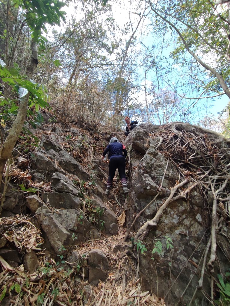
The track was longer as most of them is descending. We found our way down from the hill, the slope is steep and slippery. It was not wet, but sometimes there was nothing to grasp, we followed each other closely and had to bend down as we went. After a while, it got more comfortable, but my toes were killing me.
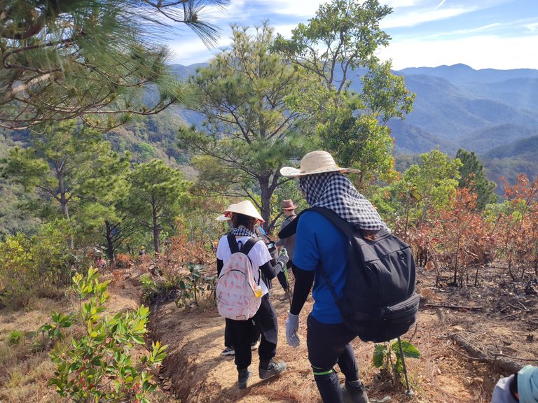
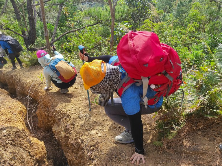
Now, we started to see less of the pine forest, but more of the tropical one.
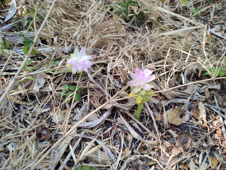
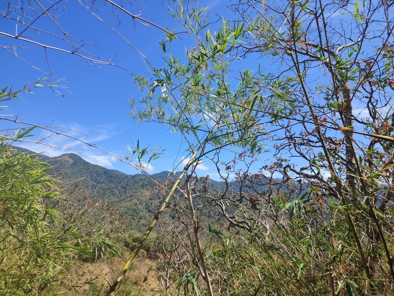
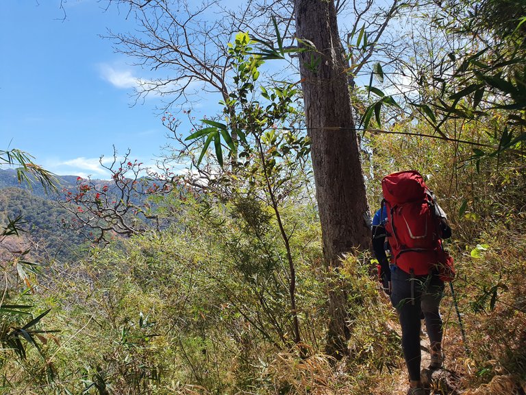
We also stopped at a little stream on the way to Yavly waterfall.
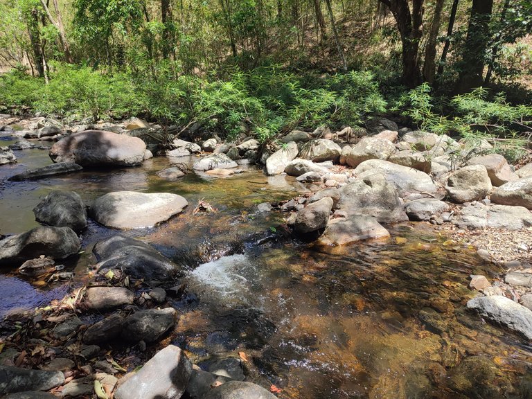
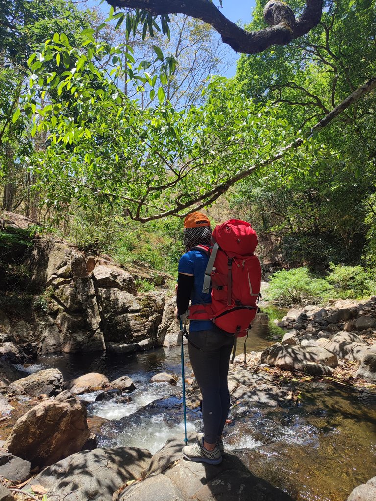
Yavly waterfall
The plan was to reach the waterfall early and trekked the last 15 km of the trail to Phan Dung. However, our team was running late, the guide decided to end the trek at the waterfall and the motorbike could take us there.
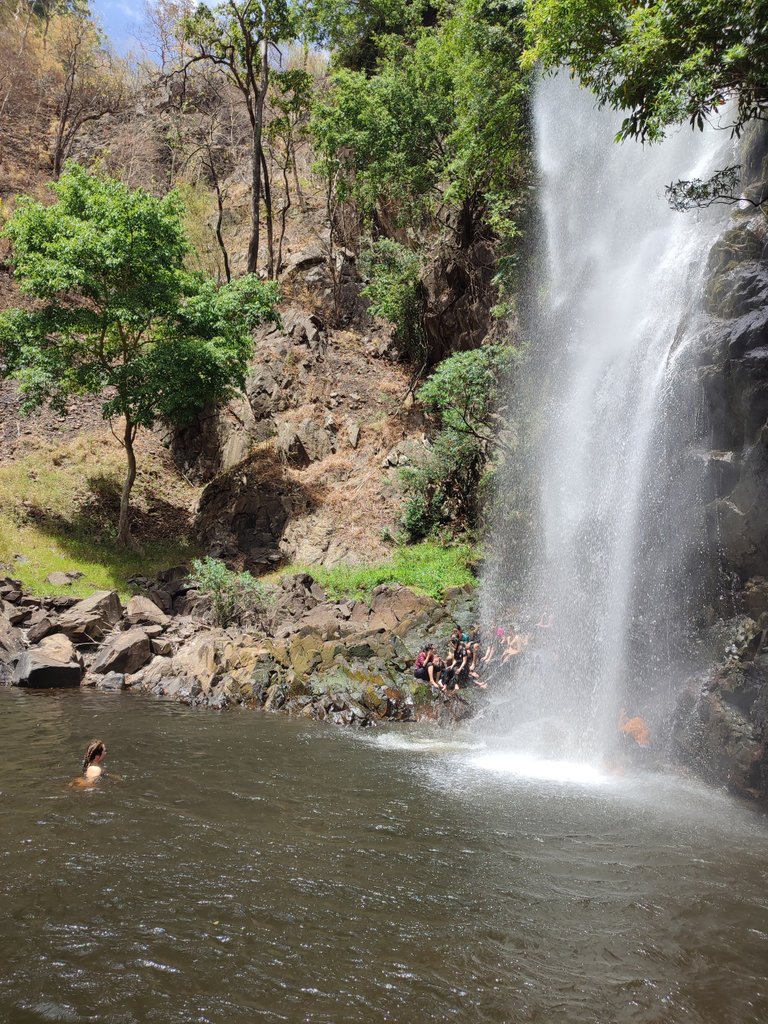
My feet felt so much better as soon as I took a dip in the water. I couldn’t ask for more, trekking and then swimming under the waterfall, it was so satisfying.
Trekking worked up a real appetite, lunch was delicious with fresh and hot meals cooked by the local porters.
After lunch, we partnered up and left the forest with the porter. The last 15 km of the trek is beautiful, there are a lot of streams and changing landscapes, but I don’t think I would make it with the state of my feet.
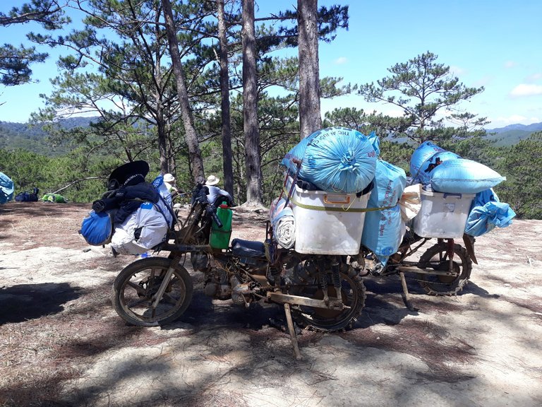
“Xe bay” is modified by the porters for heavy loading. Trekking also creates a good alternative of jobs for the male ethnic groups here. Many of them switched from poaching, so that’s a huge favor for the local area and us as a whole.
Co Thach Beach
I went here a few times with my family and we always had a great time. The sunset is gorgeous as always.

We also had a warm farewell dinner before saying goodbye.
What a crazy journey! Over 20 km of climbing and descending, through such diverse terrain. Ta nang- Phan dung checked all the boxes for a multiday hike. If you’re around this area, don’t forget to check it out.
Photos are taken by me, my friends, and the coli tour.
