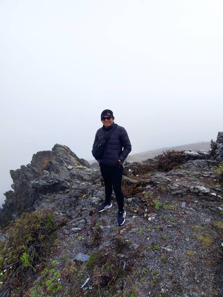
Hello hive friends, today I bring you a tour I took through the coldest trails in Venezuela.
Hola amigos de hive hoy les traigo un recorrido que hice por los senderos más fríos de Venezuela.
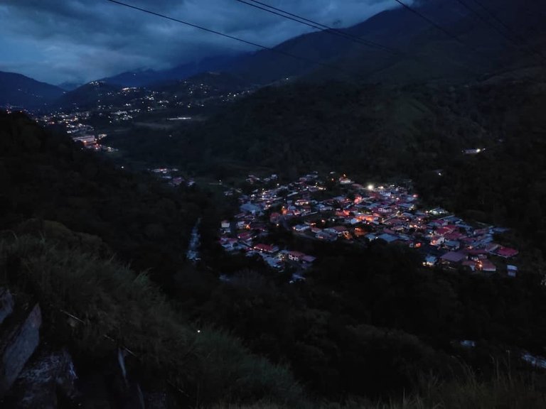
With more than twelve hours of road from where I live to the state of Mérida, the coldest province of Venezuela, which is home to endless beautiful countries that left us enchanted.
A very exhausting journey until we reached the top of one of the mountains where we would stay the first night in beautiful cabins.
Con más de doce horas de carretera de donde vivo hasta el estado Mérida, la provincia de Venezuela más fría, que alberga un sinfín de países hermosos que nos dejaron encantados. Un recorrido muy agotador hasta llegar a la cima de una de las montañas donde nos quedaríamos la primera noche en cabañas hermosas.
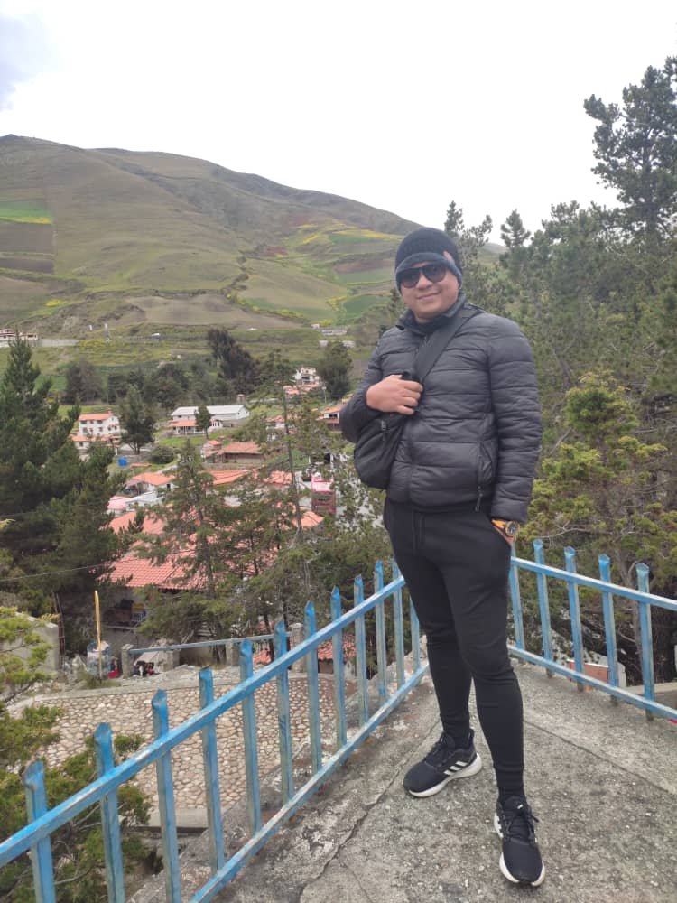
Venezuela to make a tropical country has this province located on a plateau in the middle of the region, between the mountain ranges of La Culata and Nevada, the homonymous national parks, said geographical condition positions it as an important tourist center.
The town of Mérida is located at an altitude of 1,820 m above sea level. n. m., settling on a plateau nestled in the middle valley of the Chama River, delimited by it and extending along its basin; As a backdrop, the five highest peaks in the nation stand out on the Merida horizon, including the Bolívar peak with 4,978 m above sea level. n. m.
Venezuela para hacer un país de trópico tiene esta provincia ubicada sobre una meseta en medio de la región, entre las sierras montañosas de La Culata y Nevada, los parques nacionales homónimos, dicha condición geográfica la posiciona como un importante centro turístico. La localidad de Mérida se encuentra situada a una altitud de 1.820 m s. n. m., asentándose sobre una meseta enclavada en el valle medio del río Chama, delimitada por el mismo y que extiende a lo largo de su cuenca; Como telón de fondo sobresale en el horizonte merideño las cinco cumbres más elevadas de la nación, entre ellas el pico Bolívar con 4.978 m s. n. m.
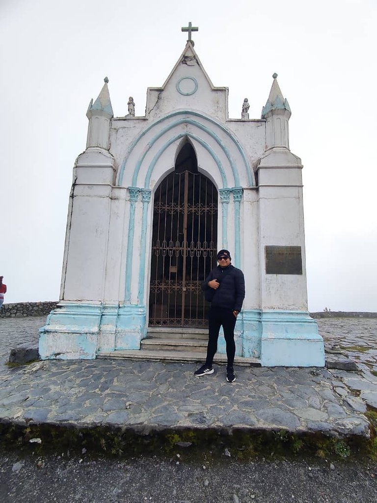
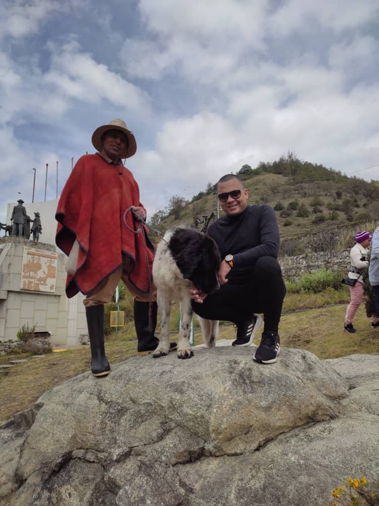
On the road to Culata, there is a sector called Los Pinos, it is an immense forest of Caribbean pines. The impressive thing about this walk is that the floor is covered with the leaves of these pines that are like sticks and when they dry they take on a reddish brown color. It is wonderful to walk on that reddish natural carpet.
En la vía hacia la Culata, hay un sector llamado Los Pinos, es un bosque inmenso de pinos caribe. Lo impresionante de este paseo es que el piso está cubierto de las hojas de estos pinos que son como palitos y al secarse toman un color marrón rojizo. Es una maravilla caminar sobre esa alfombra natural rojiza.
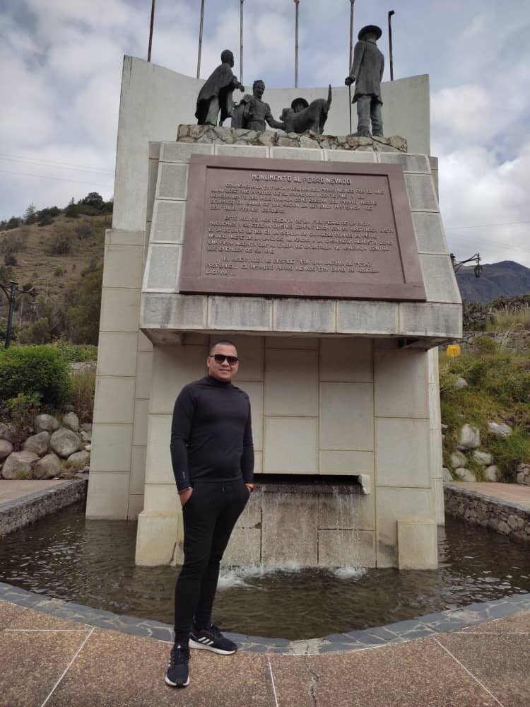
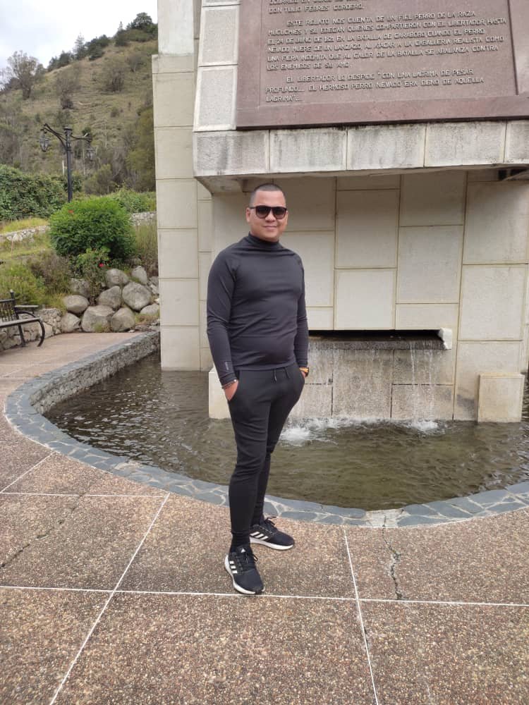
Where I live is warm with temperatures between 36 and 40 degrees on very hot days and coming to Mérida with temperatures in the mountains between 4 and -1 degrees is something that refreshes your life. It was a very nice weekend and full of a lot of peace that these trails give you.
Donde vivo es cálido con temperaturas entre los 36 y 40 grados en sus días muy calientes y venir hasta Mérida con temperaturas en las montañas entre los 4 y -1 grado es algo que te refresca la vida. Fue un fin de semana muy agradable y lleno de mucha paz que te brindan estos senderos.

