Strange name for a mountain. I wonder who would have thought of naming it that way, but since the world is full of crazy people, including me, I'd better not dwell on the matter any further.
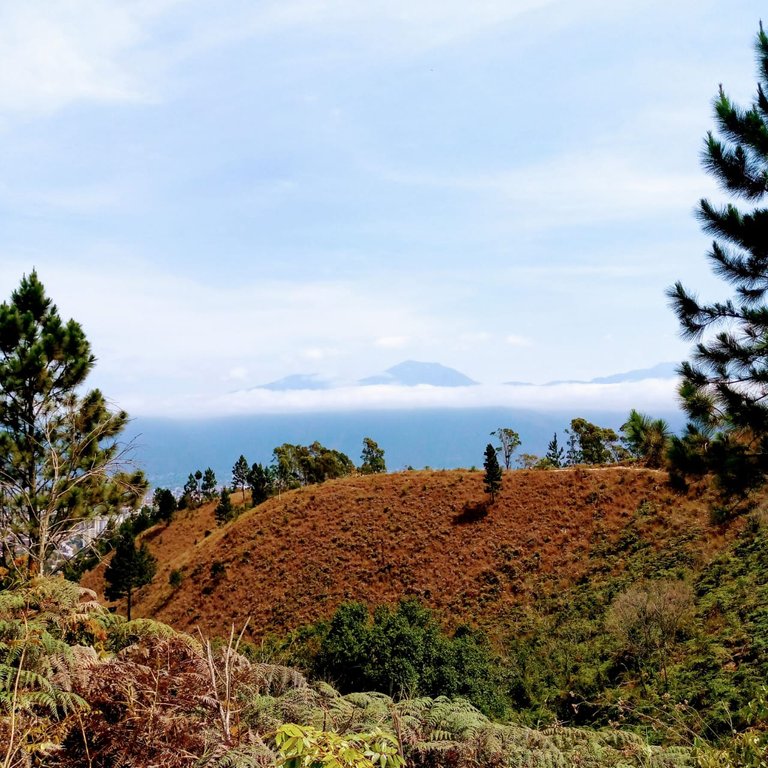
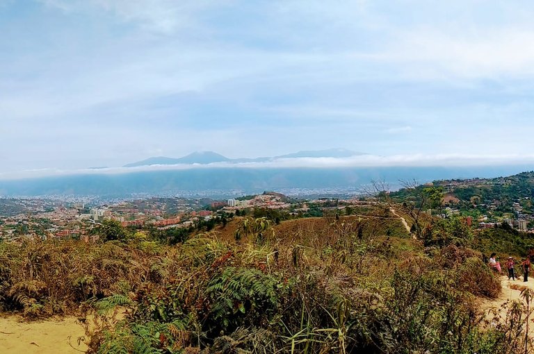
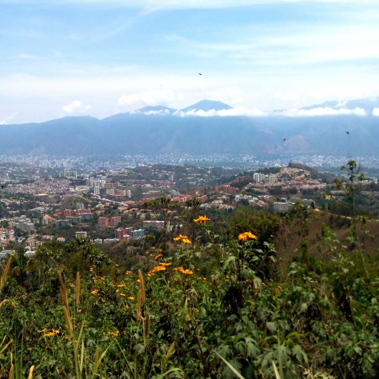
Hivers, today I am going to take you to a mountain located southwest of my city: Caracas, Venezuela. It is located between Hatilllo, La Boyera and Oripoto, Miranda State. With an altitude of approximately 1400 meters above sea level, the mountain El Volcan, is a good place for hiking.
I also found out that the mountain's slopes are used as a practice area by the bicycross riders. Something risky, not for cyclists, but for hikers, who share the narrow climbs with these intrepid drivers.
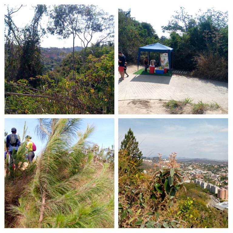
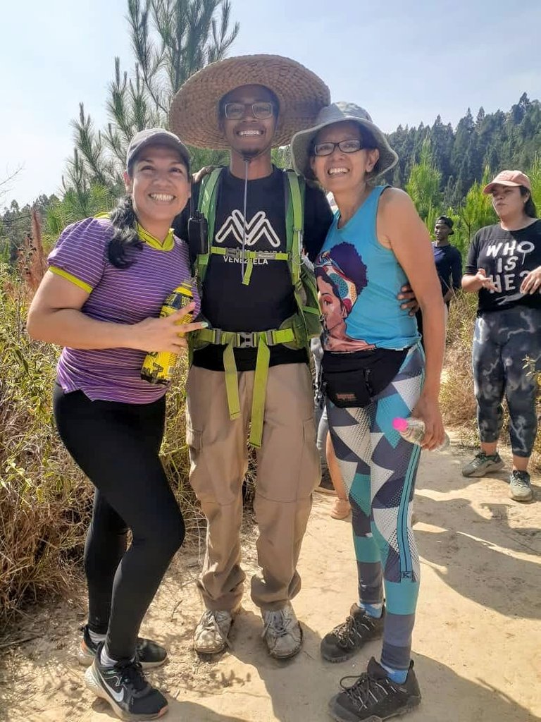
Hand in hand with the friends of Mochilas Arriba Venezuela, I started this adventure very early, at 07:30 a.m. we were already gathered. We were about 30 people and I had the pleasant company of my sister and my nephew.
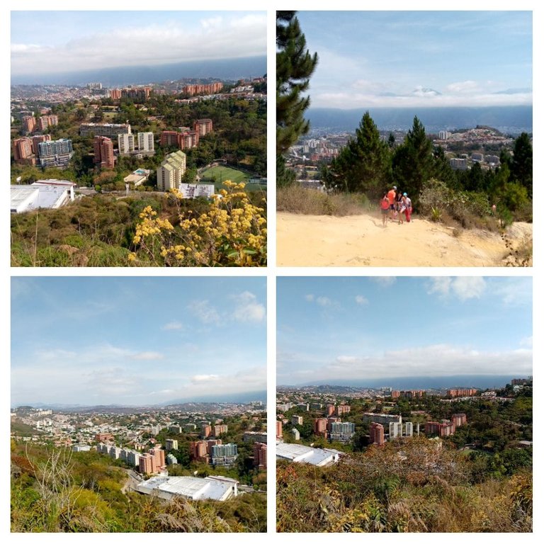
After taking public transportation, which left us on the main avenue of Hatillo, we began the ascent to the mountain, at first by a paved road with residential buildings on the sides.
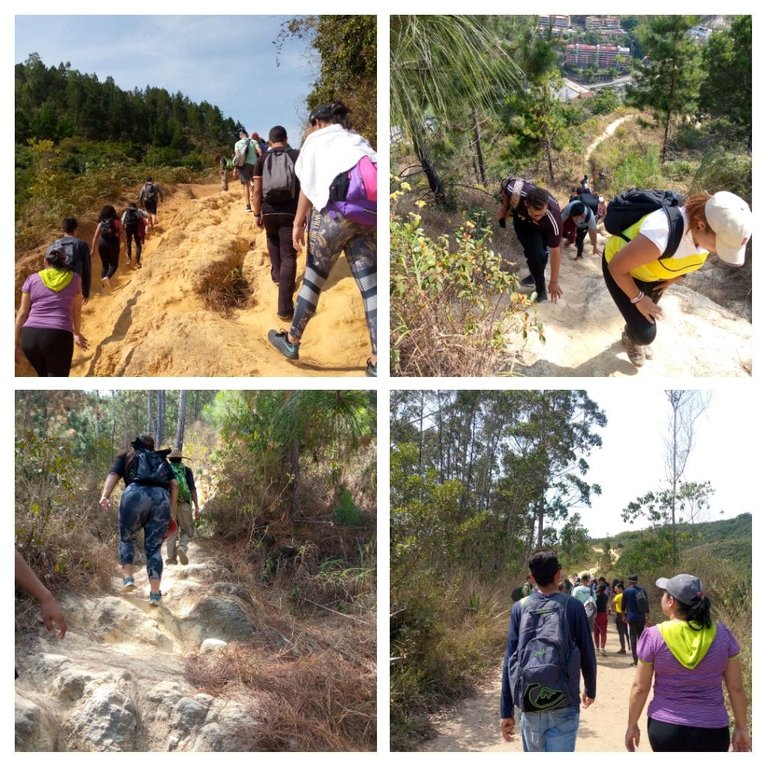
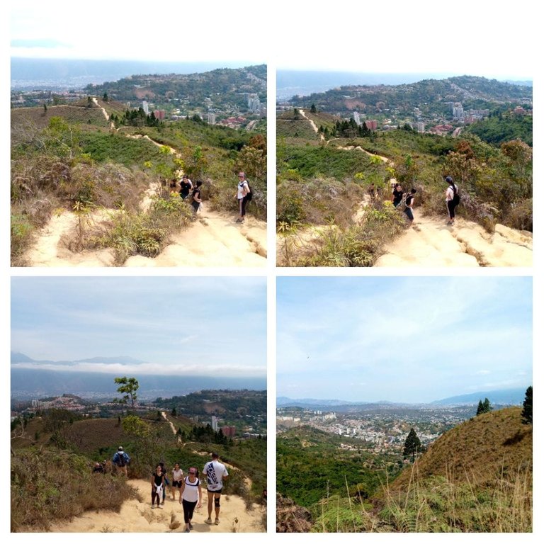
We left the buildings behind and although the asphalt road accompanied us for a while, in one of those turns - just like those that life gives you - a somewhat steep climb appeared in front of us.
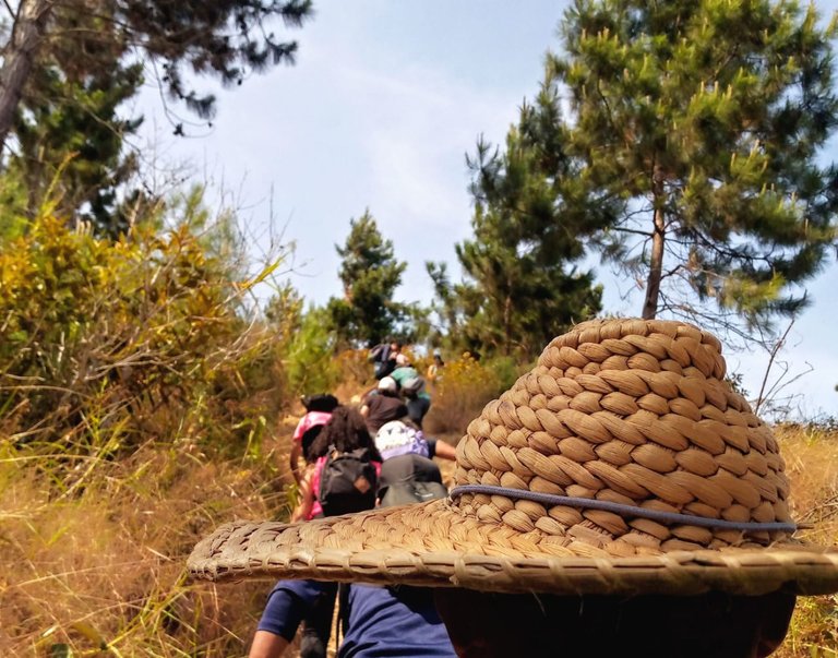
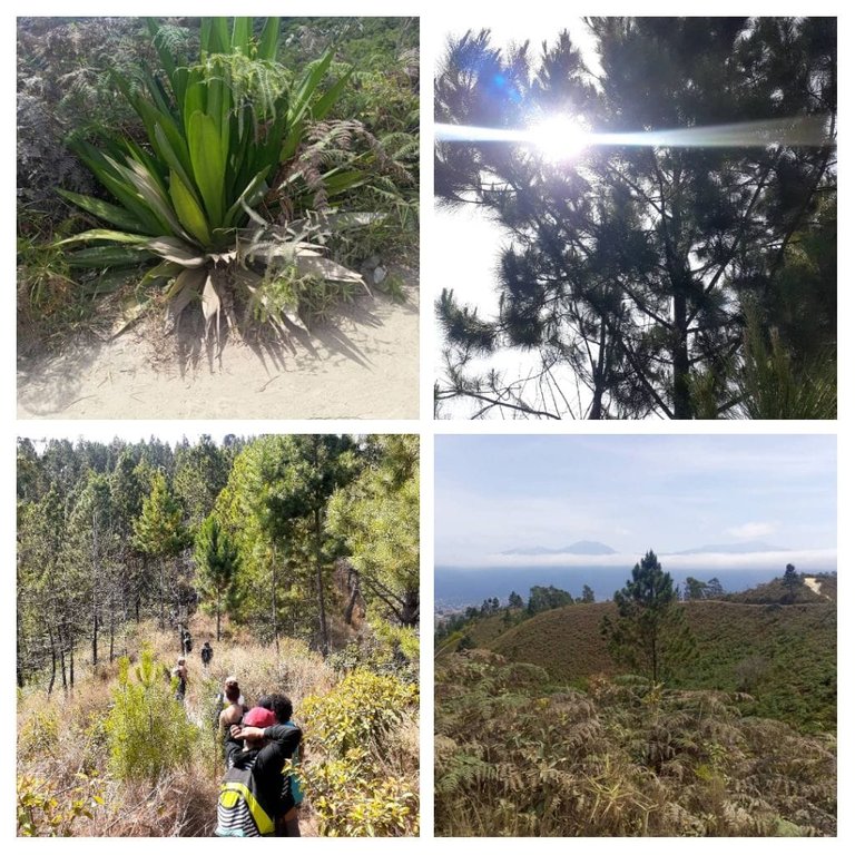
We entered the mountain, xerophytic vegetation around us with little vegetation, a narrow winding road forced us to walk in a row. Some climbs, more challenging than the previous ones, were our company for a good part of the journey.
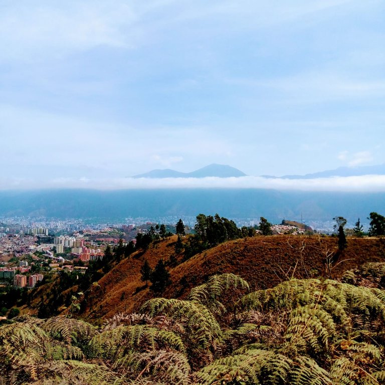
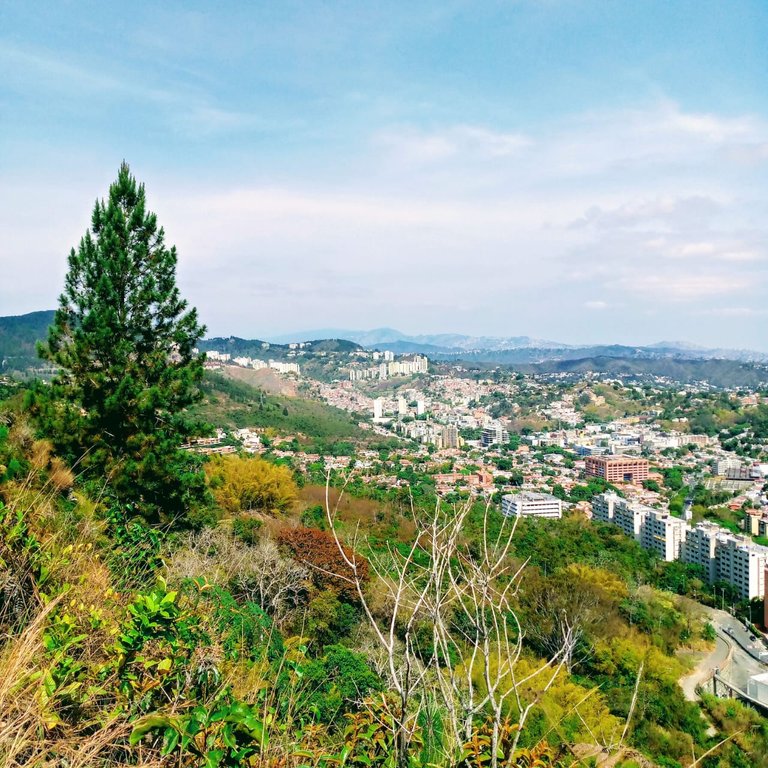
The ascent route was approximately two and a half hours. I admit it, we stopped countless times, some to hydrate, others to wait for the stragglers, others to enjoy the scenery and the spectacular view, in the distance, of Avila or Waraira-Repano, my magic mountain.
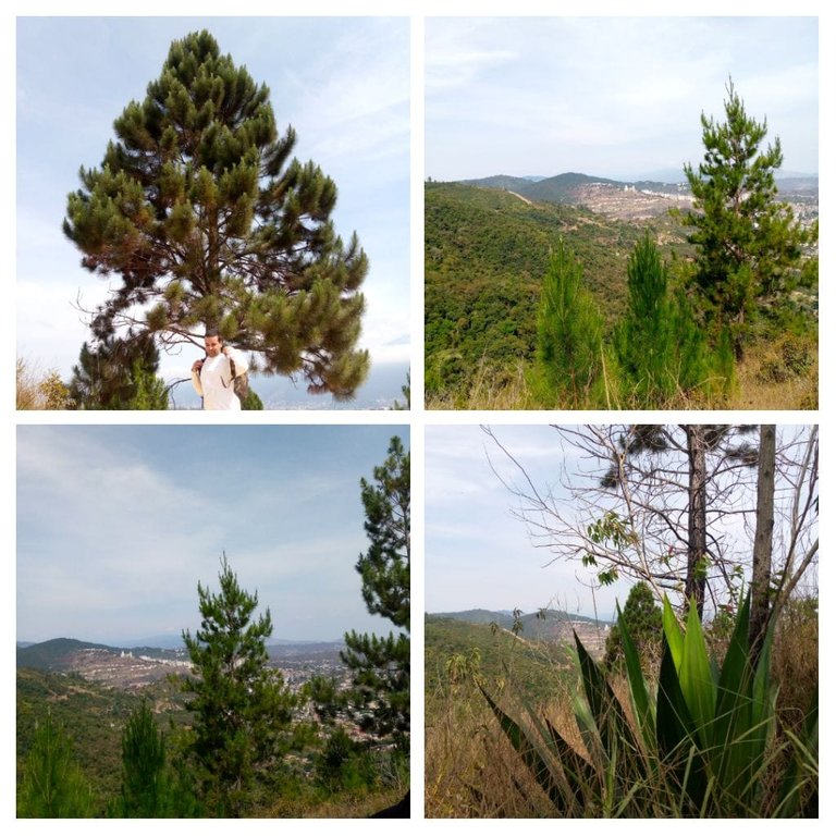
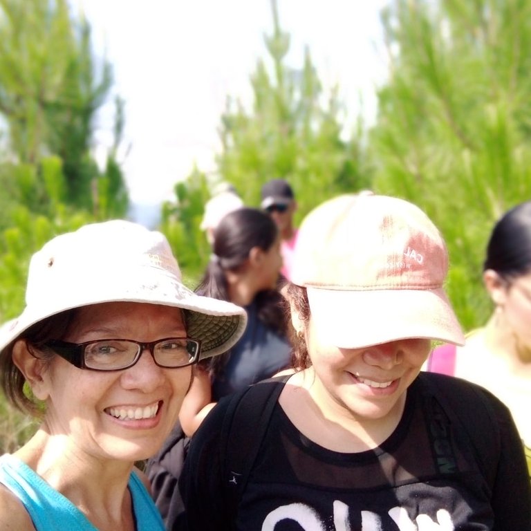
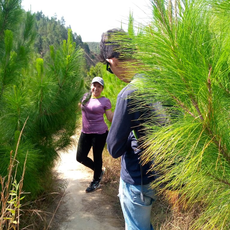
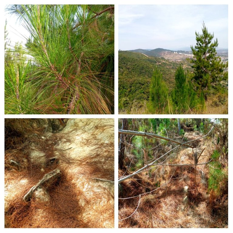
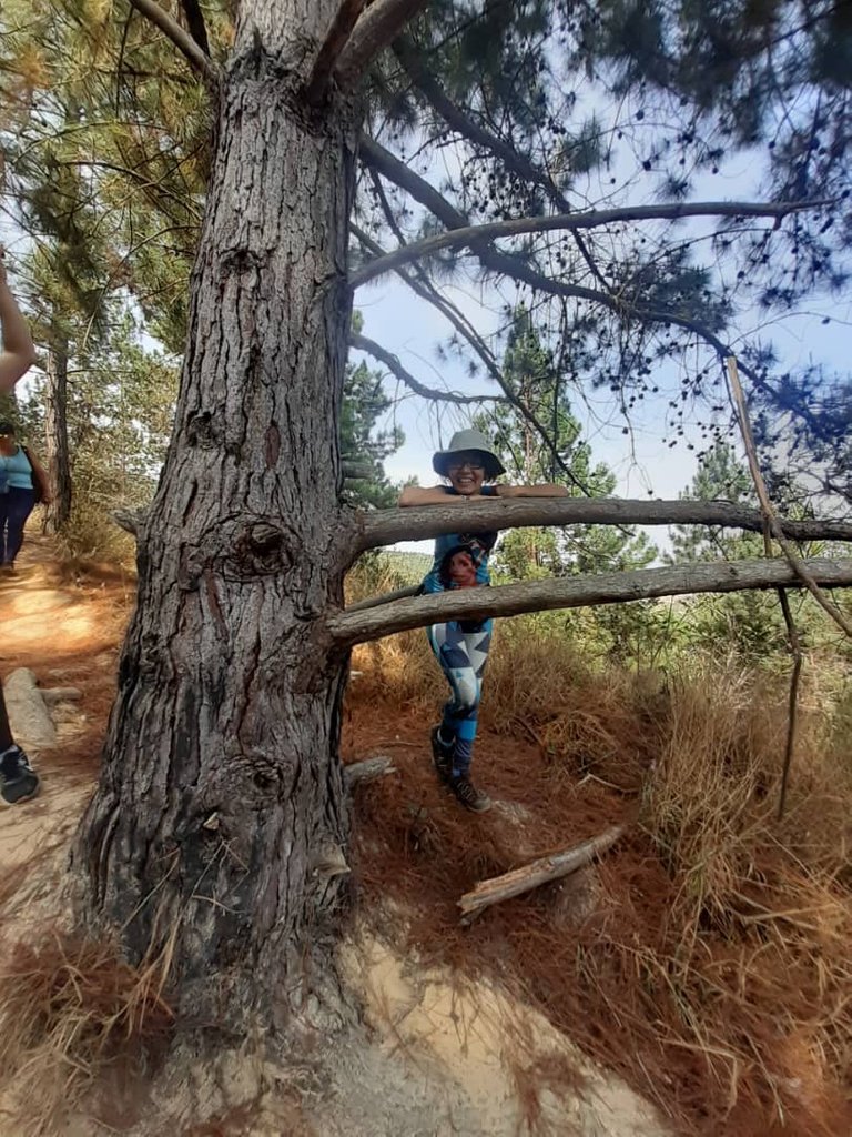
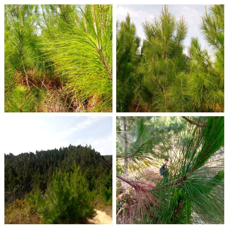
There was a moment of immense happiness in our journey: we crossed a small pine forest. It was like a respite from the desert. The trees gave us sun protection and provided us with coolness in the sweltering heat. Many people, myself included, took the opportunity to take pictures and rest.

Soon we came to a rest. It was a long path, wider and straighter, where we could rest our legs. There, our guides entertained us for a while with some brain gymnastics. To tell the truth, I came out, as I used to say in my high school days, scratched. It is somewhat complicated that uncoordinated coordination of the movements of our body.
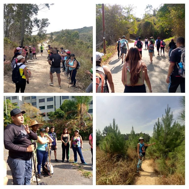
In the distance we could see our goal, a hill that seemed infinite and that we finally conquered, each one at his own pace. There, with no trees to shelter us, we took our lunch and hydrated ourselves.
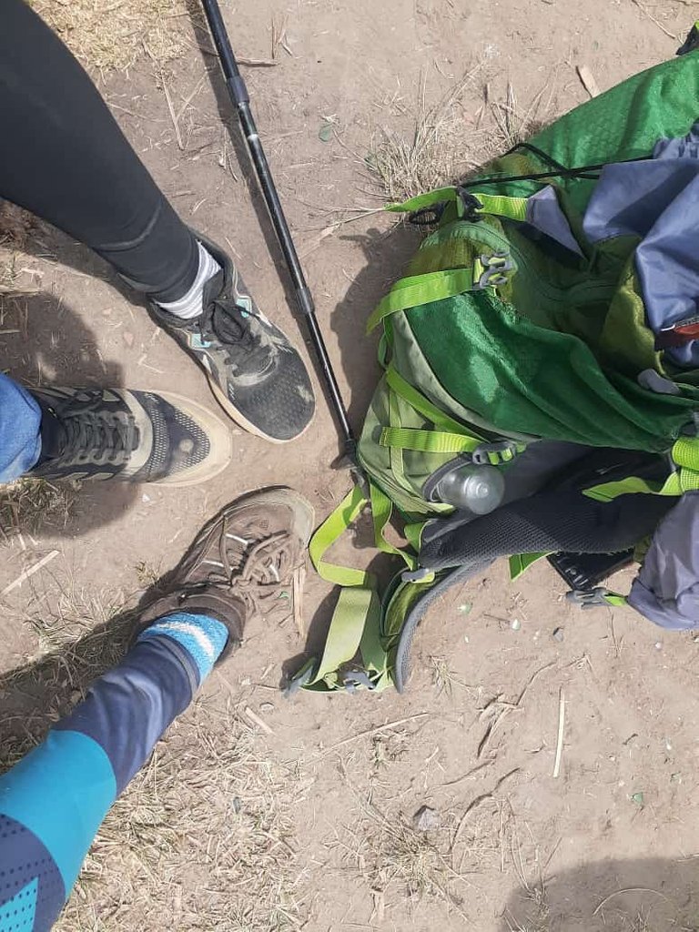
As everything that goes up has to come down, we started the descent route, but this time by one of the paved streets of Hatillo, which took us back to the main avenue, just where the public transport had left us.
It is a nice mountain and ideal for those who live nearby and like hiking. I loved getting to know it and enjoying a new mountain in my tours.

Here is the pinmapple code: [//]:# (!pinmapple 10.42023 lat -66.84768 long El Volcán d3scr)
Thanks for joining me on those days, when I turn off the mind and activate the body.
Follow me on my social networks:

I used the free version of Deepl.com as a translator.

AHORA EN ESPAÑOL
Extraño nombre para una montaña. Me pregunto ¿a quién se le habrá ocurrido bautizarla así?, pero como de locos está lleno el mundo, yo incluida, mejor no cavilo más en el asunto.
Hivers, hoy los voy a llevar a una montaña que está ubicada al SurOeste de mi ciudad: Caracas, Venezuela. Se encuentra ubicada entre el Hatilllo, La Boyera y Oripoto, Edo. Miranda. Con una altitud aproximada de 1400 metros sobre el nivel del mar, la montaña El Volcán, es un buen lugar para practicar senderismo.
También me enteré que los practicantes de bicicross utilizan las laderas de la montaña como lugar de sus prácticas. Algo arriesgado, no para los ciclistas; sino para los senderistas, quienes comparten las angostas subidas con estos intrépidos del volante.
De la mano de los amigos de Mochilas Arriba Venezuela, inicié esta aventura, bien temprano, a las 07:30 a.m. ya estábamos reunidos. Conformamos el grupo unas 30 personas aproximadamente y tuve la grata compañía de mi hermana y mi sobrino.
Luego de tomar el transporte público, que nos dejó en la Avenida Principal del Hatillo, comenzamos la subida a la montaña, en un principio por una carretera asfaltada con edificios residenciales a los lados.
Dejamos los edificios atrás y aunque la carretera de asfalto nos acompañó un buen rato, en una de esas vueltas - así como esas que te da la vida – apareció frente a nosotros una subida un tanto escarpada.
Nos adentramos en la montaña, vegetación xerófila a nuestro alrededor con poca vegetación, un angosto camino sinuoso nos obligó a caminar en fila. Algunas subidas más desafiantes que las anteriores, fue nuestra compañía buena parte del trayecto.
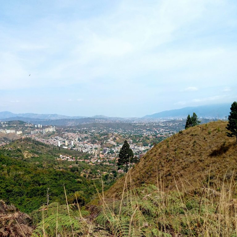
La ruta de ascenso, fue de aproximadamente dos horas y media. Lo reconozco, nos detuvimos infinidad de veces, unas para hidratarnos, otras para esperar a los rezagados, otras tantas para disfrutar del paisaje y la espectacular vista, a lo lejos, del Ávila o WarairaRepano, mi montaña mágica.
Hubo un momento de inmensa felicidad en nuestro recorrido: atravesamos un pequeño bosque de pinos. Eso fue como un respiro entre el desierto. Los árboles nos dieron protección solar y nos brindaron la frescura ante un calor sofocante. Muchas personas, yo incluida, aprovechamos para tomar fotos y descansar.
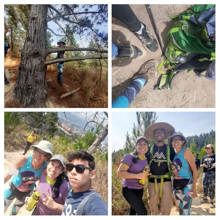
Pronto llegamos a un descanso. Se trató de un largo camino, más amplio y recto, donde pudimos descansar las piernas. Allí nuestros guías nos divirtieron un rato con practicas de gimnasia cerebral. La verdad, salí como decía en mi época del liceo, raspada. Es un tanto complicado esa coordinación descoordinada de los movimientos de nuestro cuerpo.
A lo lejos se veía nuestra meta, una colina, que se me antojo infinita y que finalmente conquistamos, cada quien a su ritmo. Allí, sin árboles que nos cobijaran tomamos nuestro almuerzo y nos hidratamos.

Como todo lo que sube tiene que bajar, emprendimos la ruta de descenso, pero esta vez por una de las calles asfaltadas del Hatillo, que nos llevó nuevamente a la Avenida Principal, justo donde nos había dejado el transporte público.

Es una montaña agradable e ideal para quienes viven cerca y les gusta hacer senderismo. Me encantó conocerla y disfrutar de una nueva montaña en mis recorridos.

Aquí te dejo el código pinmapple: [//]:# (!pinmapple 10.42023 lat -66.84768 long El Volcán d3scr)
Gracias por acompañarme en esos días, en los que apago la mente y activo el cuerpo.

Sígueme en mis redes sociales:
Utilicé la versión gratuita de Deepl.com como traductor.


