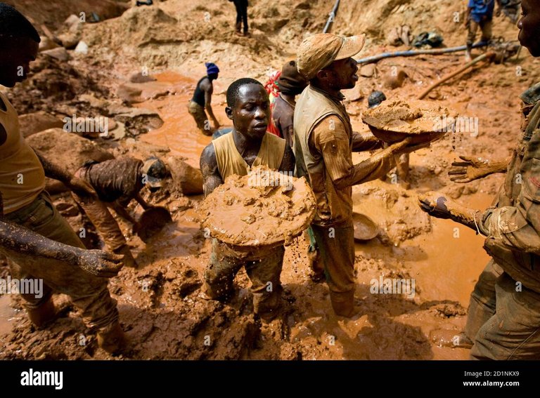
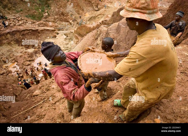
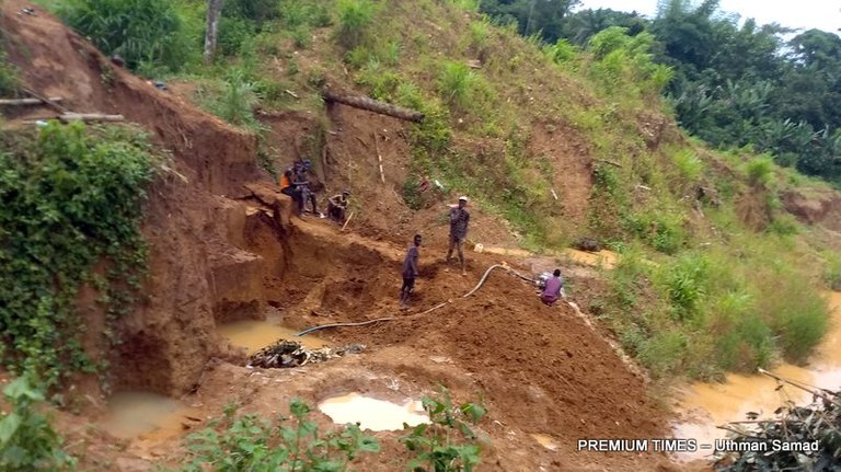
Before a local miner buys a gold mine, leases, or engages in mining gold in a mine he needs to know if there is gold in the mine. The set out to carry its gold mine test by the use of hoes, shovels, and other digging tools to use the land to the depth where the AU deposits are located in the soil layer. Since alluvial mining is all about washing the gold from the sand there is always a need for water in this mining operation, characteristically alluvial gold deposits are mostly found near a stream or a river, it is best you begin digging holes for gold at the riverbanks and away from the riverbanks in step and to the middle of the land. In most cases you will discover that there are richer deposits, more GPT (Grams Per Ton) areas nearer the riverbanks.
For example, at the riverbanks you may get 5gpt and 10meters away from the river or stream you find 3.5gpt, and in the middle of the land, you may get 2.5 to 3gpt and away from the middle of the land, you may find 1 to 0.5gpt forming the basis for the miner to develop the three lines, the hotline, the average line and the poor line base on gpt found in these three areas of the Mine as mentioned in Article 6.
However, if the land is surrounded by two rivers on both sides, you will have to carry out digging of same numbers of holes as on the other side and if there is a confluence, that's where the two rivers meet on the land, there is certainly more gold deposits, higher gpt found there. The locals consider that spot as the hottest gold deposit they call it a jackpot.
This is how the test is carried out, the miner collects three or four samples of the AU deposit from the top, middle, and bottom of the first layer of the deposit and mixed the three samples together to arrive at the average gpt of the layer. Thereafter, he will repeat the same process of collecting an average sample for the middle layer of the AU deposit and for the bottom layer of the AU deposits each to arrive at maybe 9 samples per hole dug for the Alluvial gold mine test.
Thereafter, the total samples appropriately labeled for the purpose of easy identification are sent to SGS Laboratory for a test to be carried on the samples for a few days, the results on the samples collected from the SGS Laboratory can now be applied to the holes as labeled for the miner to know the average gpt per areas of the land. The results will reveal more often than not, that the areas nearer to the riverbanks are generally richer than the areas farther from the river or stream and the samples derive from the confluence areas are far richer.
Posted Using LeoFinance Beta


