Another weekend, another trail to hike.
Last Sunday, I conquered the infamous Kawa Falls-Pamutan Grassland Trail. This hike is recommended for experienced to intermediate hikers, with a length of almost 8 km and an elevation gain of 800 m. The trail consists of very steep pathways; the uphill climb is steep, and the downward slopes are muddy and slippery.
Join me on a mini tour as I take you into the wilderness, and let's see if this trail will make you excited to prepare your trekking shoes, sunblock, and insect repellants.
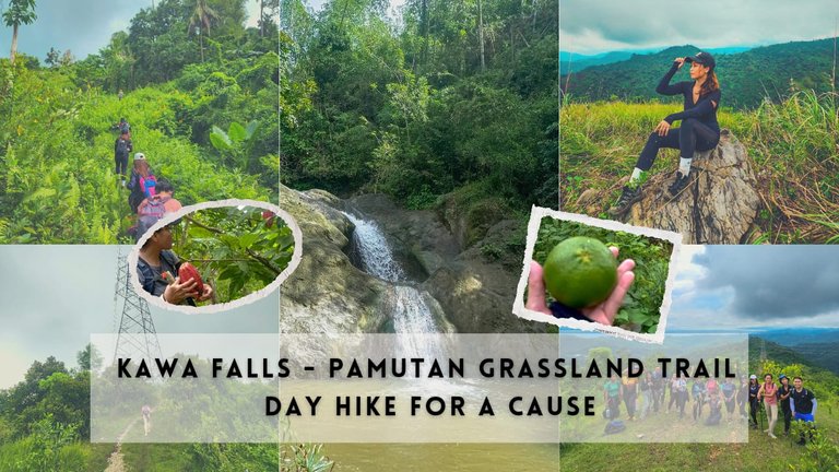
Before we start on the day hike, I want to share with you a little story about the group I'm with. This group is called the DHT, short for Day Hike Therapist. It's a non-profit organization that organizes day hikes for a cause. Joiners give a minimum donation of ₱250.00 ($4.35) to be able to participate in the hike. 95% of the proceeds will go to the selected charity recipient, while 5% goes to the team fund, which will be used for equipment and maintenance like the ropes, trekking poles, radios, and all others.
If you remember my previous blog, Day Hike for a Cause: Conquering the Peaks of Gen. Climaco, Toledo, they were also the same team behind that project. The beneficiaries of the last dayhike in Toledo were the 250 pupils of the elementary school in a secluded island barangay in Cebu.
For this new project, the beneficiary is still to be determined. This is the third organized hike since the Island School Project, all of which were held last Saturday and Sunday.
The Start of the Trail
Kawa Falls is located in Brgy. Toong, Cebu City. It's one of the mountain ranges in the area. The usual meet-up place for this trail starts at Jollibee, Punta Princesa, where the habal-habal (motorcycle) riders line up going to Toong.
Just tell the driver to drop you at the trailhead going to Kawa Falls. The ride will take more or less 15 minutes and the the fare is ₱50.00 ($0.87)
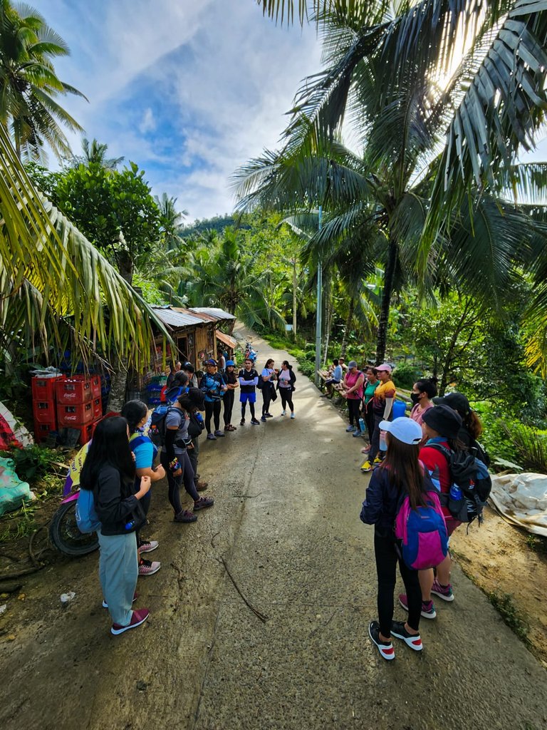
We arrived at the drop-off site at 8 a.m., and we started off with a group prayer, a mini orientation, and safety announcements.
And off we go,
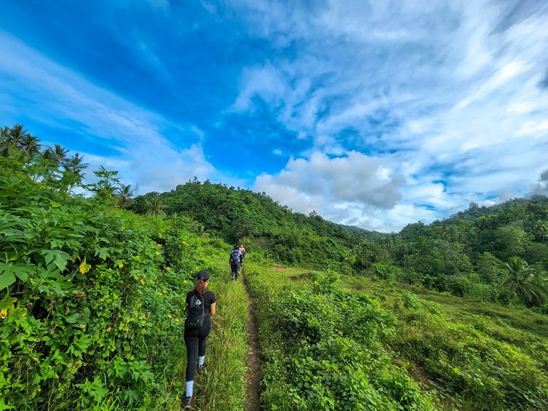
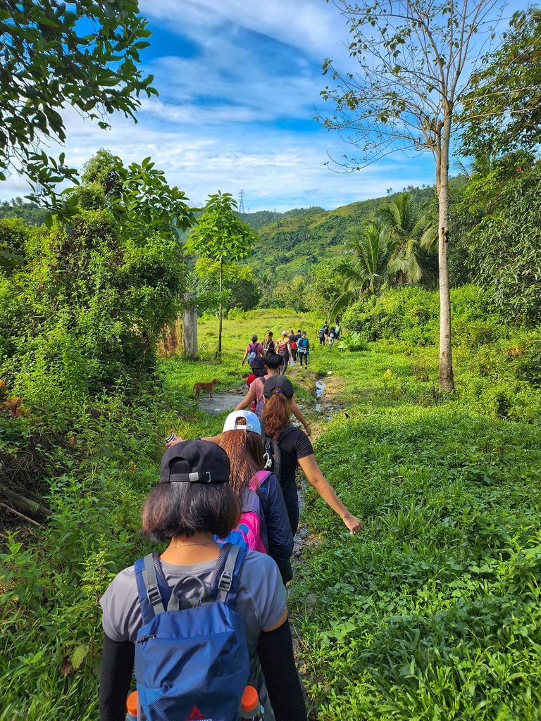
Into the wilderness
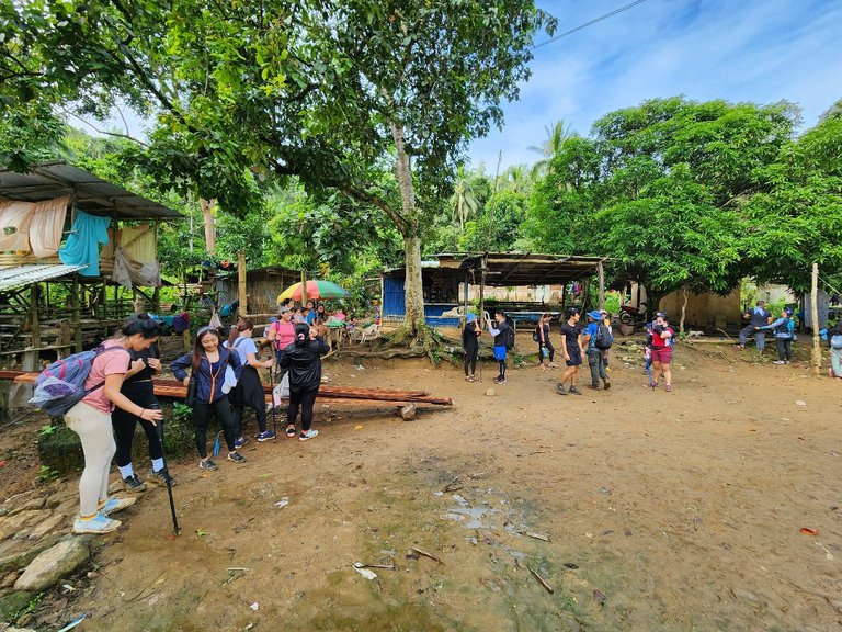
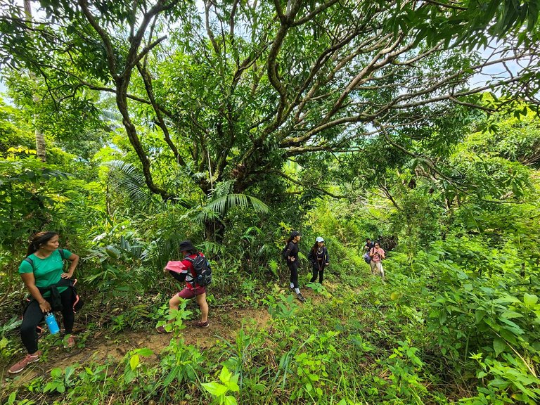
The first part of the trail consists of a combination of open and shaded areas. Our first stop was at a volleyball court in one of the sitios.
This is the last area with houses before we go deep into the woods. We took a quick break, and others refilled water in one of the sari-sari stores in the place.
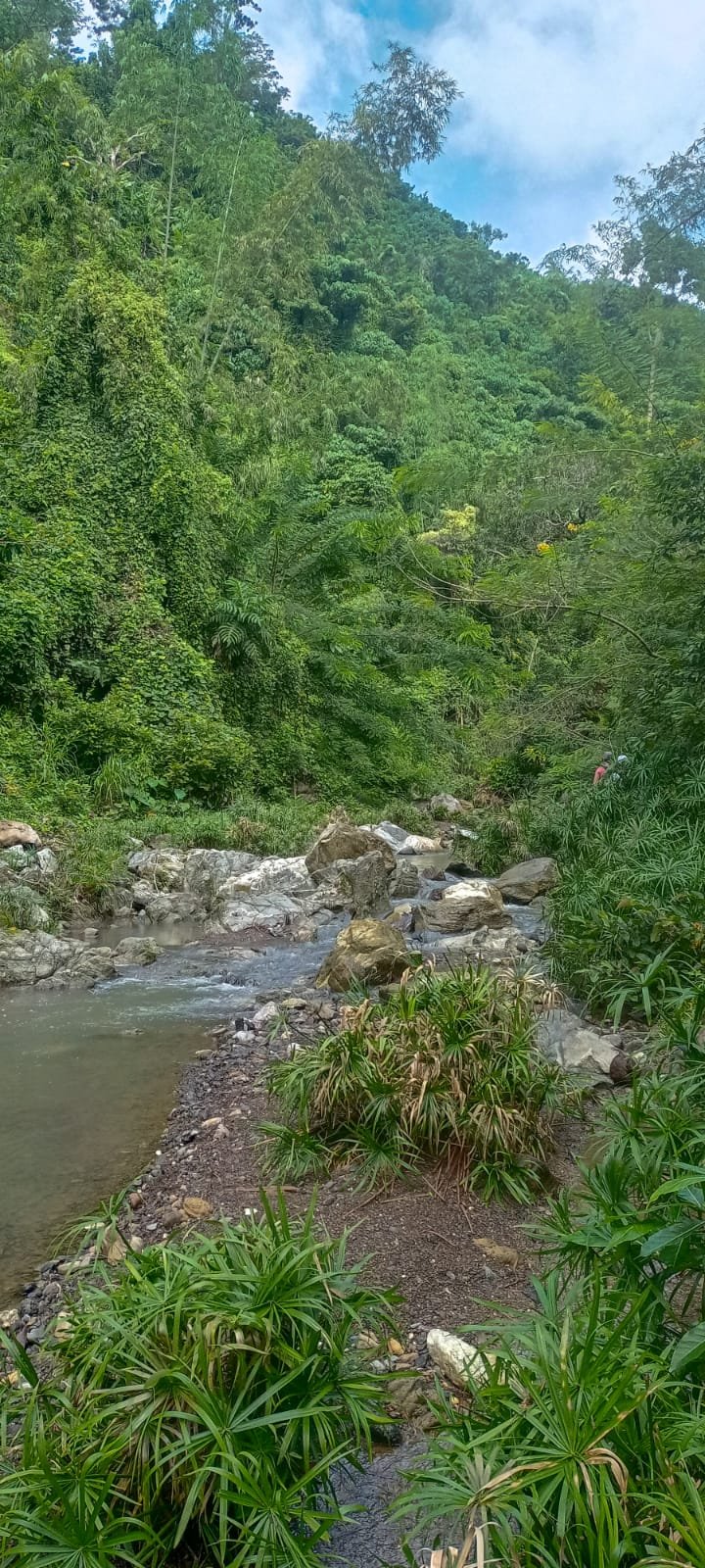
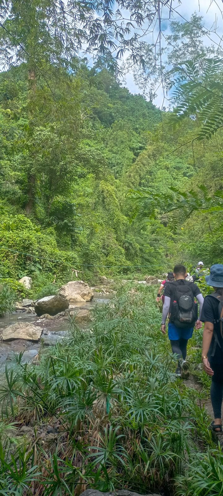
The path we took was through the river. We were lucky the weather was in our favor that day, as it has been raining the past few days here in Cebu.
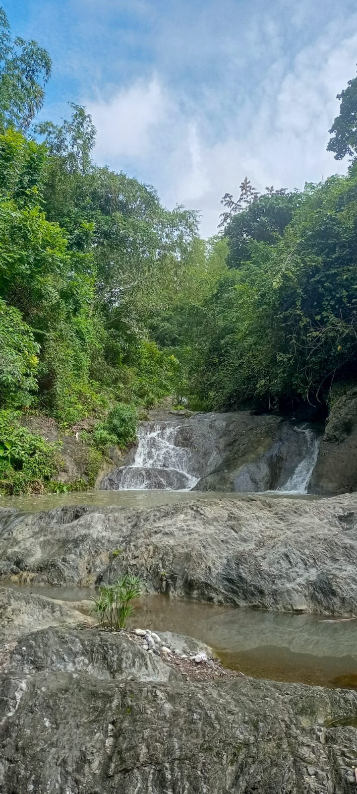
The Kawa Falls
Kawa means cauldron in the local dialect. The beautiful falls got it's name because of the plunge pool resembling a cauldron found in the second level of the falls.
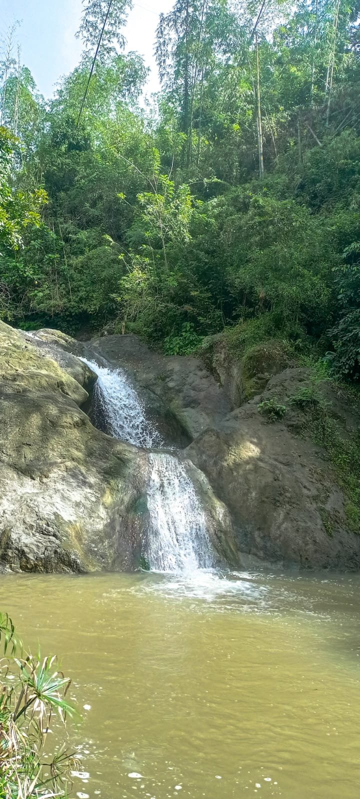
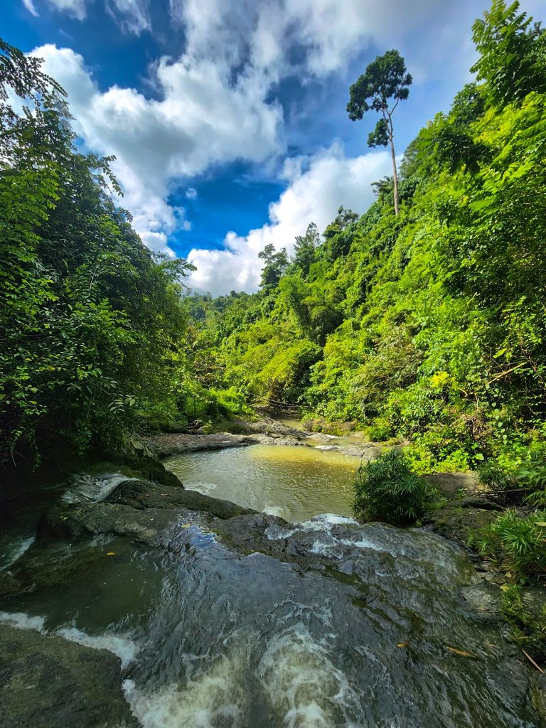
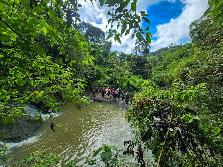
We arrived at the falls around 9:30 a.m. We rested for a while and took some pictures. Unfortunately, due to the heavy rains these past few days, the water in the falls was not that clear, and we weren't able to take a quick dip.
The uphill climb
Right after the falls marks the start of the steep uphill climb of this trail. We went deeper into the woods.
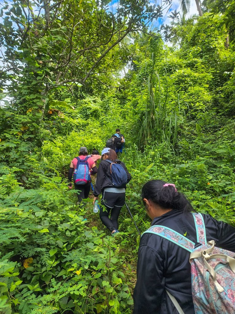
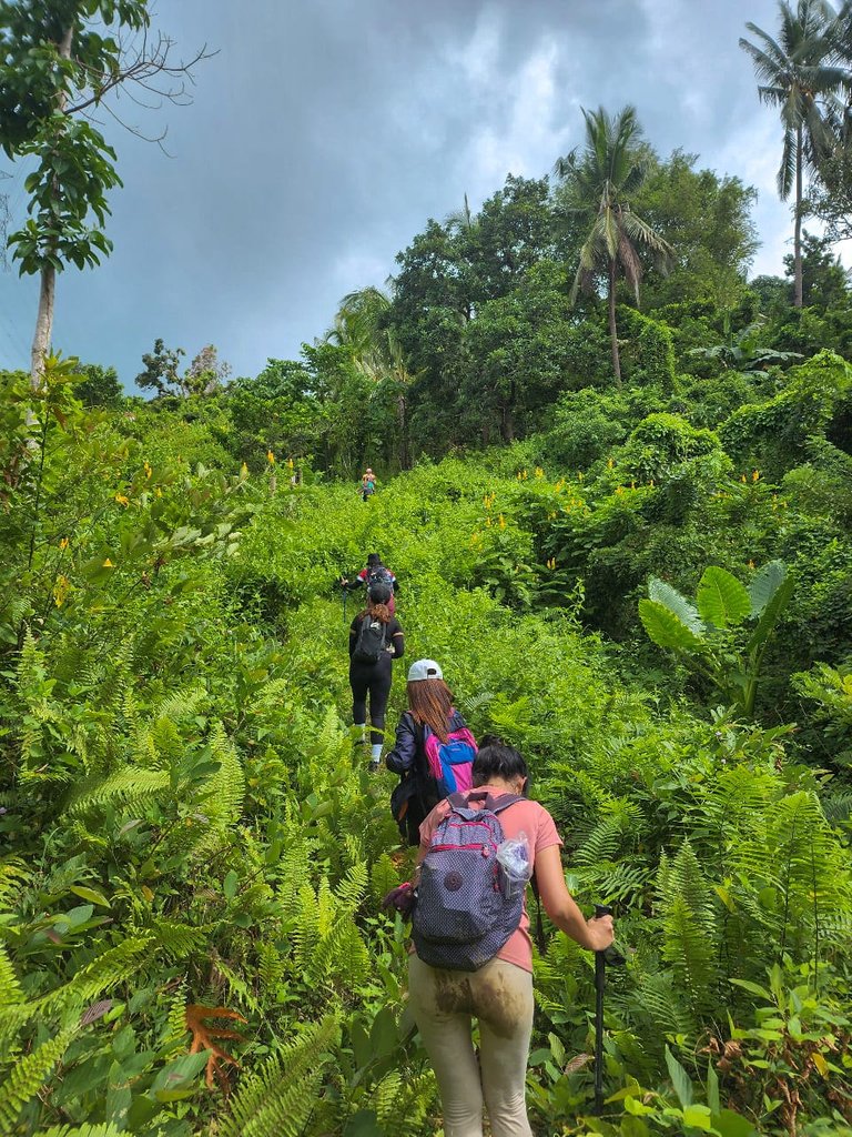
Balay nila Nanay (Mother's House)
This is our third rest stop. Ila Nanay, as the hikers would call this place, is a house situated in the middle of the woods with a friendly old lady and her husband living there.
Nanay has a lot of fruit trees planted in her yard: cacaos, citrus, and mangoes. She let us pick some fruits while we rested in the area.
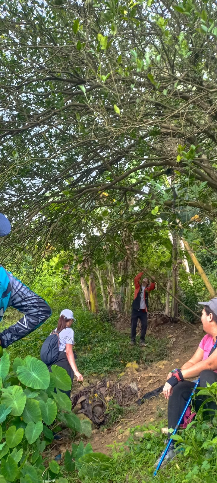
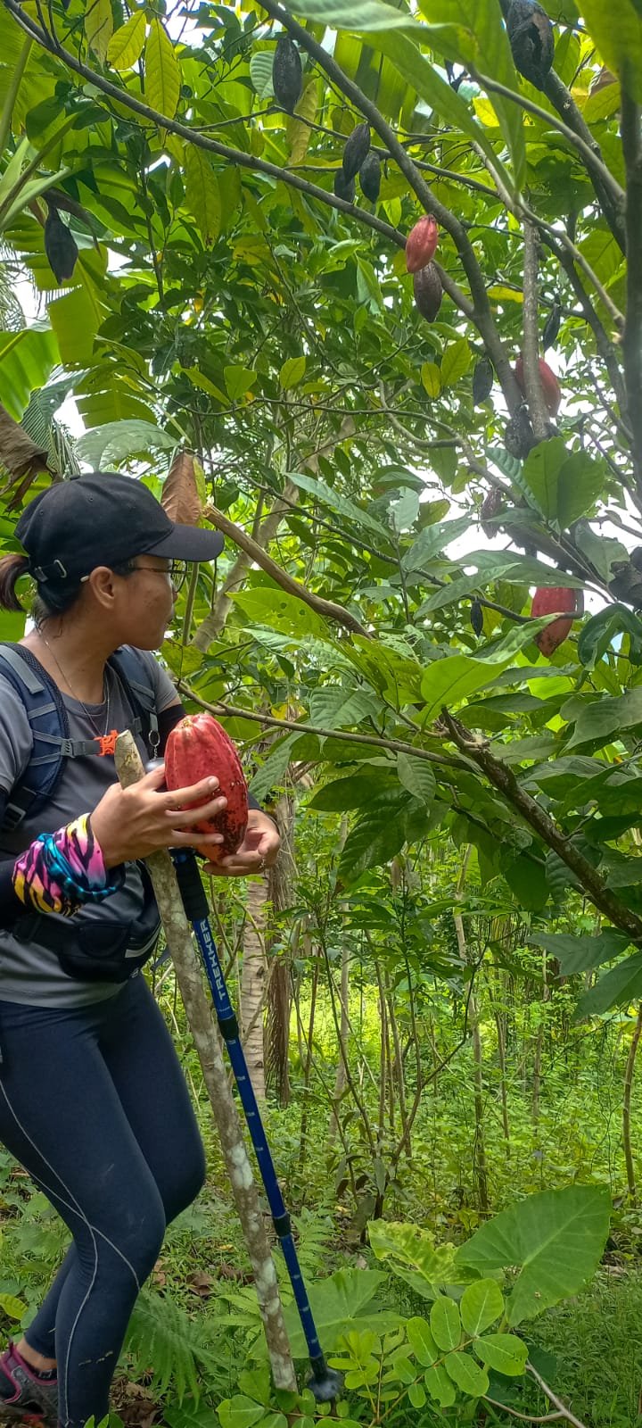
It was my first time to try and eat raw cacao fruit, and it did not disappoint me. The fruit was so sweet.
After we rest, we head back to the trail and off to our next stop, where we will be having lunch.
We arrived at our next stop around 11:00 a.m. It was a small sittio, and the locals were friendly; they even offered that we use some chairs from their house. We rested for an hour after eating, as there were also motorcross riders in the area using the same trail. We had to wait for them to finish for safety reasons.
The Final Stop
We hiked for another hour and a half to reach our final destination. Pamutan Grassland.
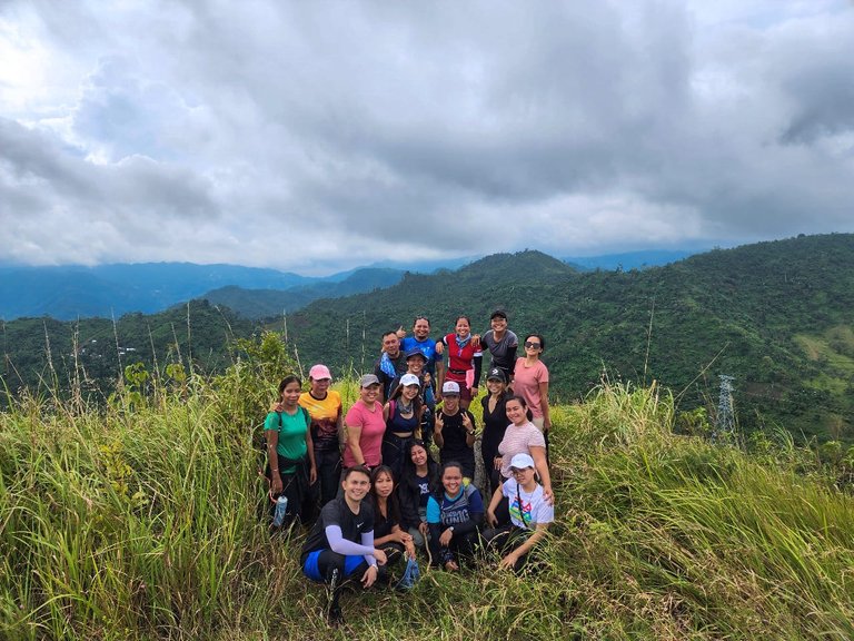
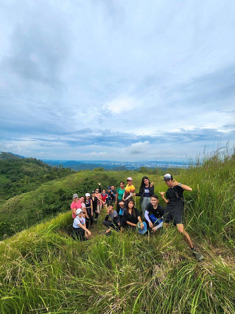
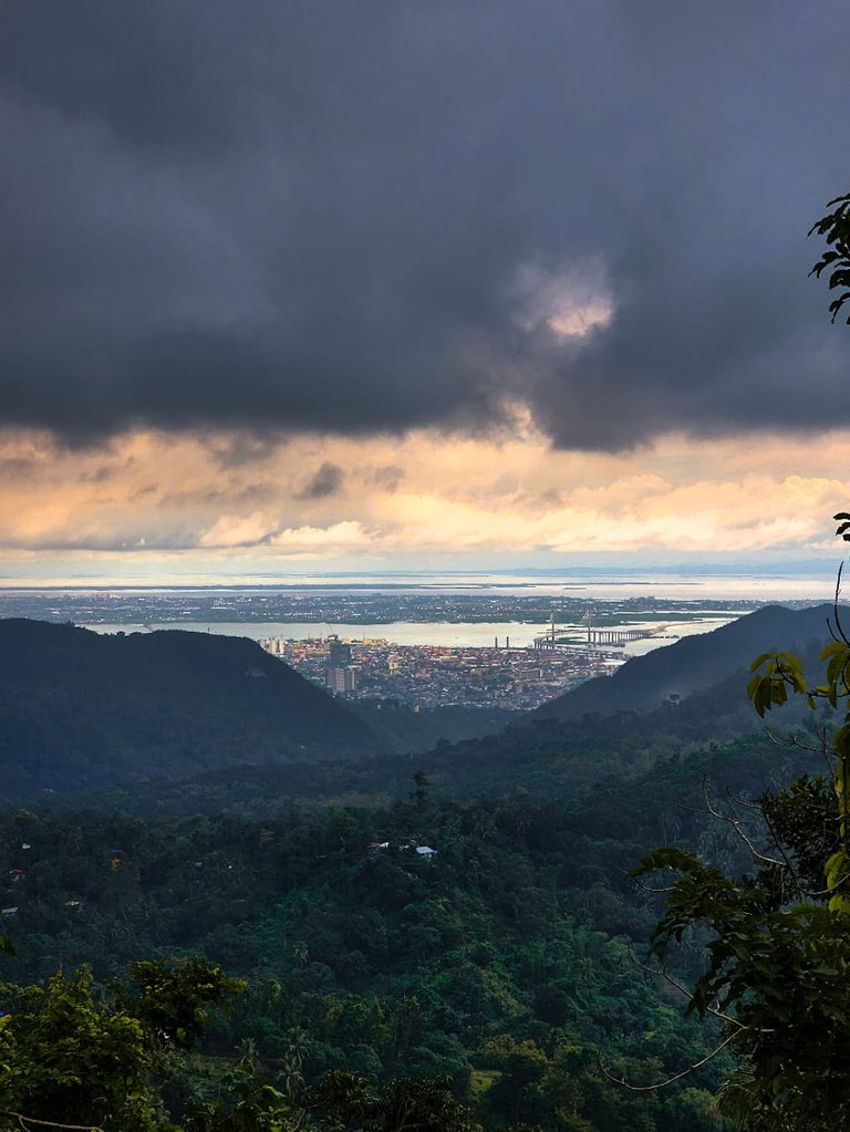
The view from the top is very satisfying. It was worth all the steep uphill climb, and the refreshing cool air will greet you at the top.
We spend around 30 minutes in the peak to rest and take the time to get some pictures before we head to the exit point.
It took us another hour to get to Bagsakan, Pamutan—the end of the road.
We finished at 3 p.m.; the whole trek took about 7 hours. Our guides told us that our group was the first batch they were able to guide without anyone having cramps or having too much difficulty on this trail. Well aside from a few slides here and there because of the slippery trail, based on their previous experience, they had hikers who vomited, had nausea, and even shortness of breath—that's how challenging the trail was.
There was no other perfect way to end the trek than with an ice-cold soft drink to quench your thirst.
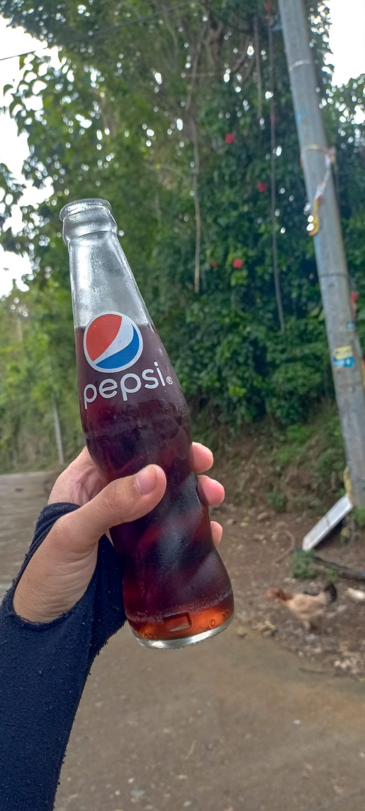
We took another habal-habal ride back to Punta Princesa as we parted ways, the ride took about 20mins and the fare is ₱100.00 ($1.74).
Let the photos do the story telling
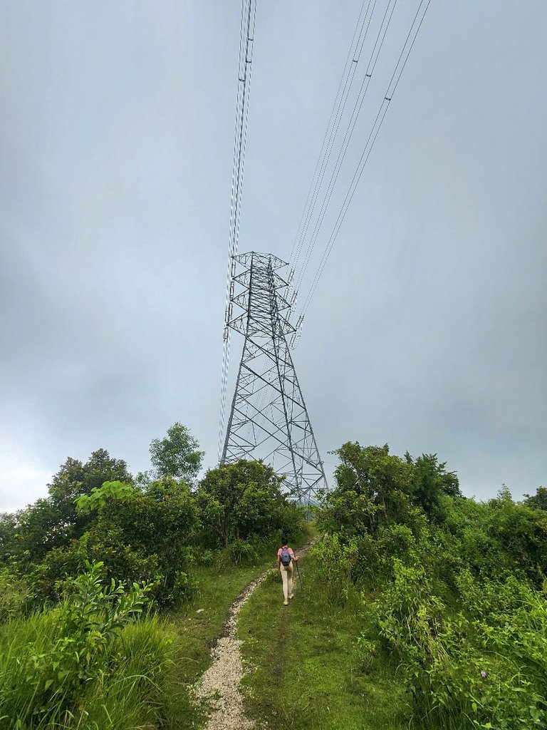
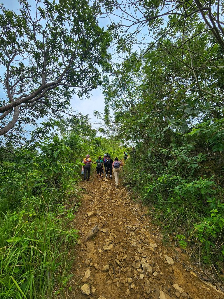
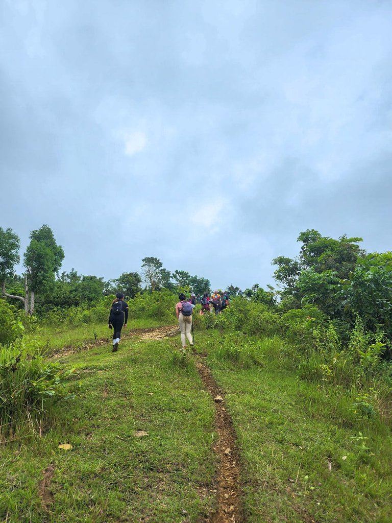
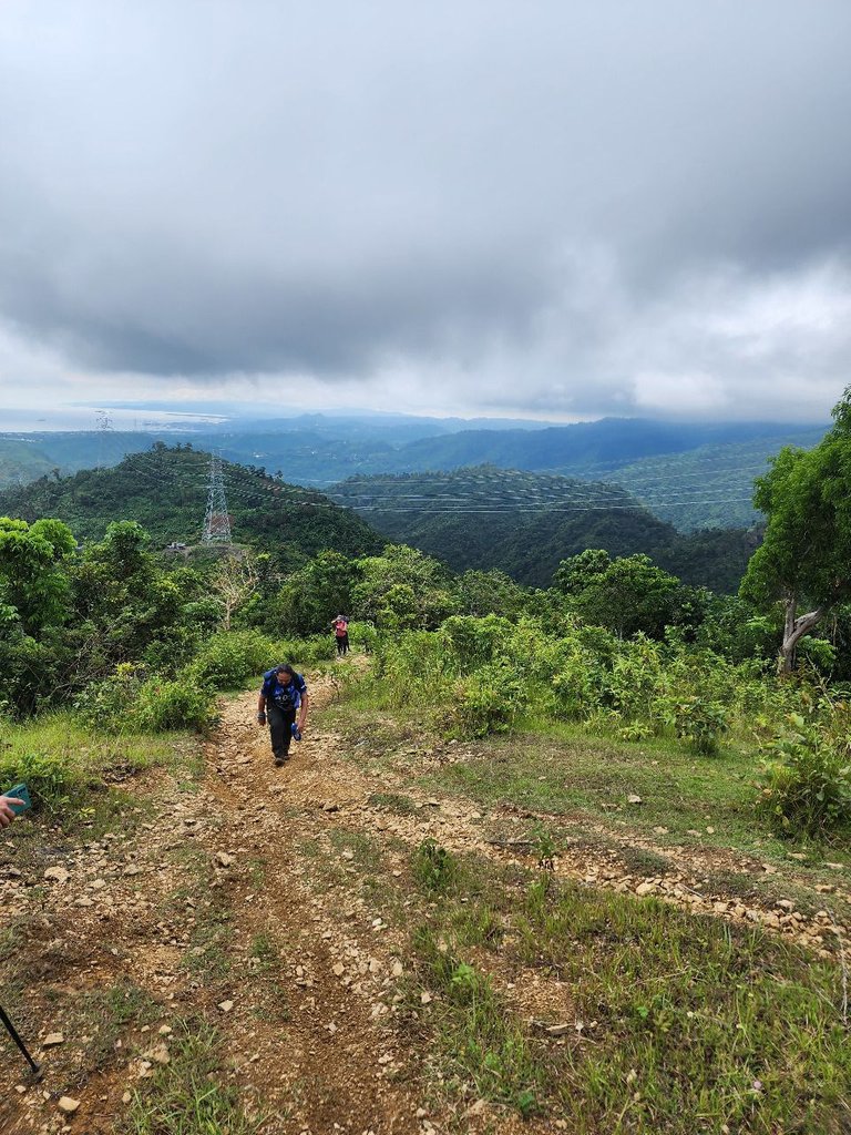
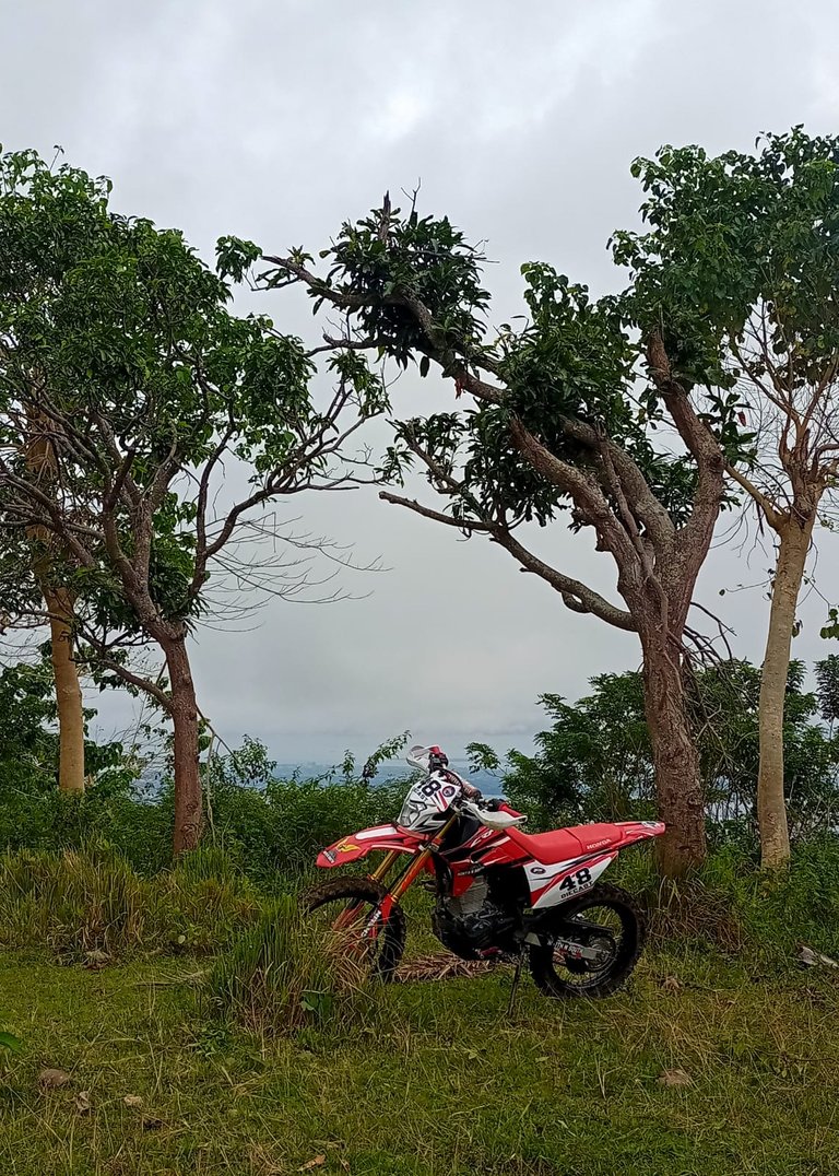
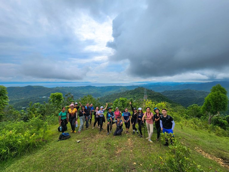
That's it, I hope you enjoy this virtual tour as much as I enjoyed my weekend adventure.
This is my first time posting in the community, and I look forward to sharing more of my weekend experiences with all of you.
If you are from Cebu City and would like to join us, you may visit the official page of Day Hike Therapist to be updated on any upcoming treks. I hope to bump into you on the trail anytime soon!


Liked what you read? show some love by sharing your comments and upvote the content. Feel free to re-blogged the post and help spread positivity by paying it forward. Don't forget to follow her for more stories and adventures here on Hive.

All photos were taken and edited by me unless stated otherwise. Images may have been shared to my social media accounts prior posting to the blog.


