Hello friends. We visited Bansko and explored the resort town in the summer. But our main goal was to climb two peaks, one of which was Vihren the third highest peak on the Balkan peninsula, rising to 2914 meters. We also planned to climb Muratov Peak, which reaches 2660 meters.
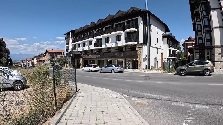
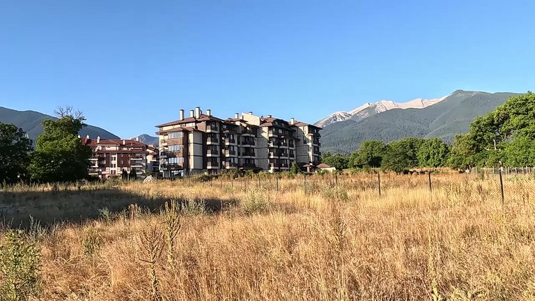
We stayed in a four-star hotel in Bansko. In the morning as the sun rose, we had a wonderful view of the mountains from our hotel window, especially the one we were aiming for.
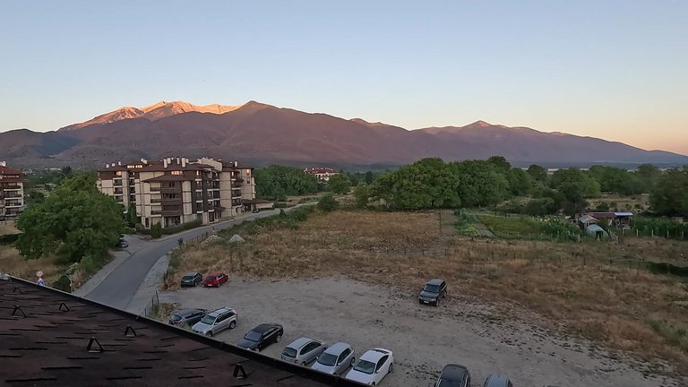
On the left we could see Todorka Mountain and the trail leading to Vihren Mountain nearby. We woke up at 6:00 am, had some coffee and started preparing for the climb. It would take about 8-9 hours to reach the summit, but we found out that breakfast at the hotel was served at 8:00 am, which changed our plans a bit. To reach Vihren from Bansko, we had to take a beautiful 16 km road. But the National Park staff closes the road at 8:00 am, so we had to leave a little earlier. This added an extra 2 km of walking for us, but the next day, we skipped breakfast and arrived earlier.
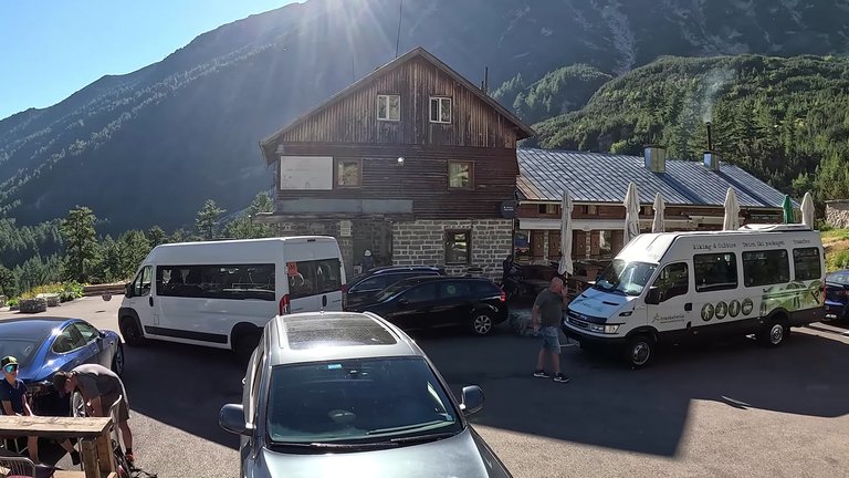
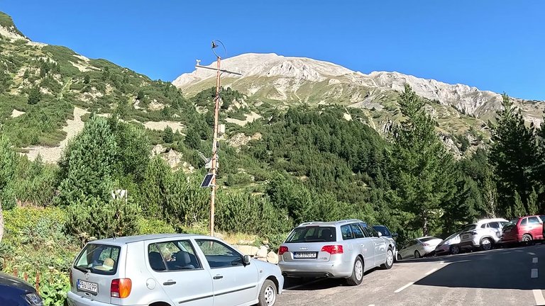
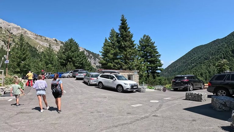
We wanted to try one of the three routes to Vihren, specifically the circular one, but we weren't exactly sure how it would go. After parking the car we started the 30-minute walk to the start of the Vihren climb. There are free toilets, drinking water and places to eat, even a restaurant. This is where the ascent to Vihren begins. This mountain is the highest peak of the Pirin mountains and the third highest in the Balkans.
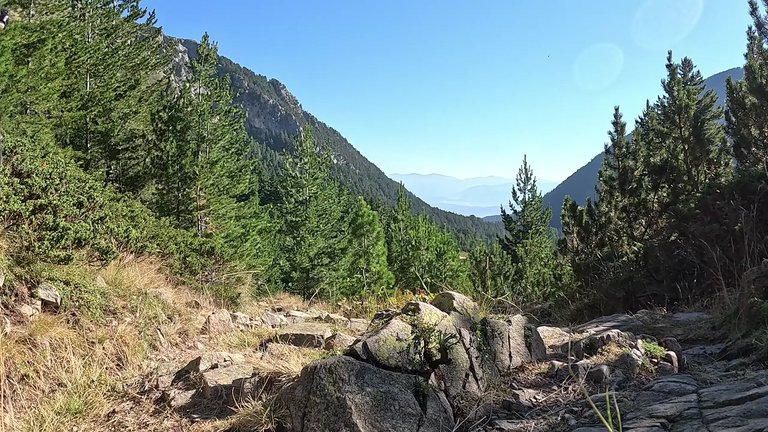
If you want to camp, there are no designated camping areas, but the overnight fee is 25 leva. There are also minibuses available. If you don't have a vehicle, the journey costs 12 leva. Without wasting much time, we started a rather steep climb right from the shelter. While there were many people on the trail, there were few vehicles and the climb looked a bit intimidating. During our ascent of Vihren, we reached the first small waterfall, where we washed our faces and got some water. Also, here is the starting point of the circular route around Vihren. We went straight on the way up and returned via the circular route. We passed by glaciers and there was still snow at the higher elevations.
After about 50 minutes of climbing, we covered a distance of 250 meters and reached our first break. As we neared the summit, the view was breathtaking. In the distance we could see Todorka mountain and the upper station of the Bansko ski resort. An hour and a half later, we reached a stunning glacial basin. From here, we had to climb the pass ahead of us. As we got closer to the summit, amazing views of the Rhodope mountains and Todorka mountain unfolded behind us. The next day, that mountain would be our next goal. With just 20 minutes left, we were close to the pass. Although the final steps were tough, the view from there made it all worthwhile.
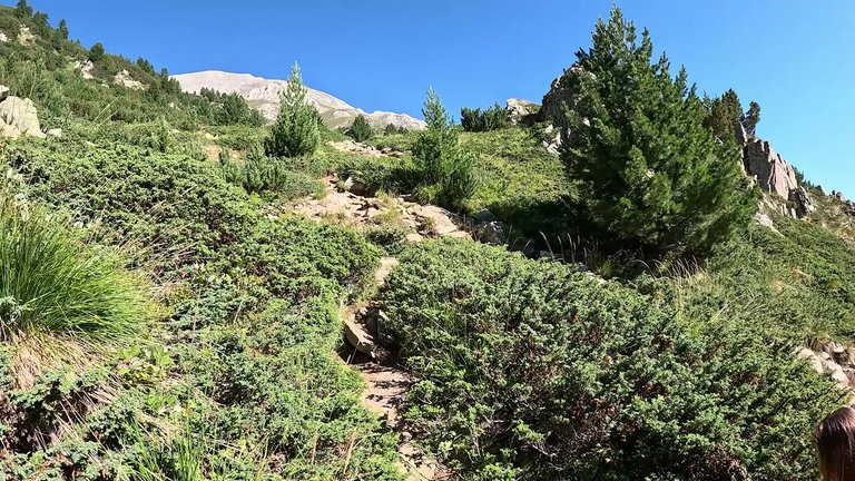
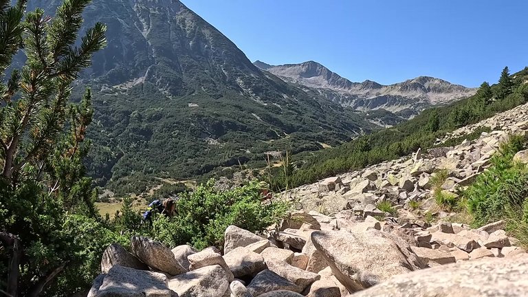
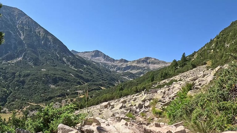
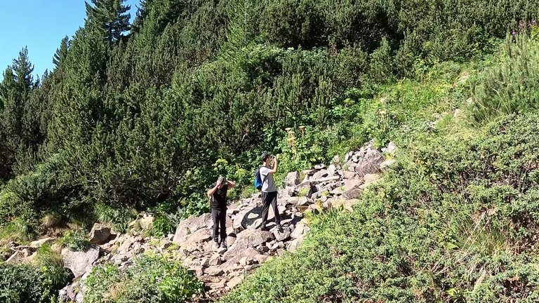
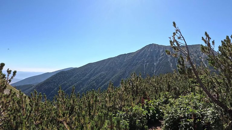
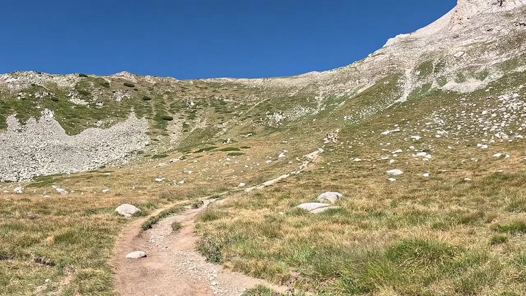
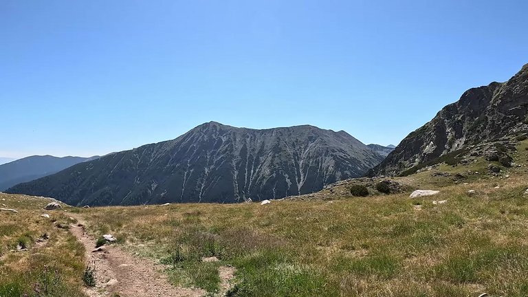
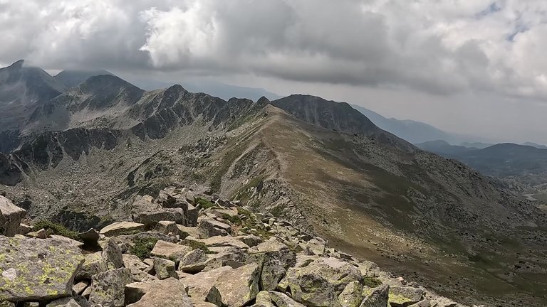
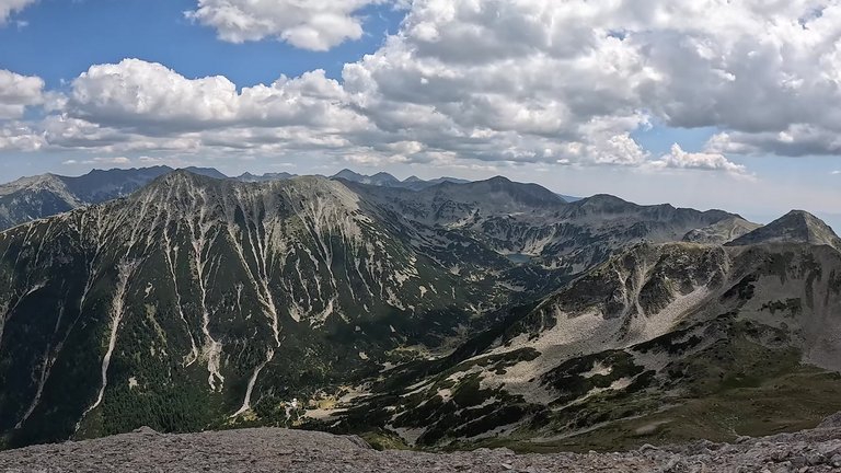
We could see the glacial lakes, rocky peaks and Todorka Mountain. Our goal was to reach Vihren Peak and we had to climb nearly a sheer rock face to get there. The entire mountain was incredibly beautiful and the views were fantastic. These mountains are very impressive. As we approached the summit, the climb became even more intimidating. But everything along the way was so captivating that it made continuing difficult. Looking from above the beauty of everything we could see was mesmerizing.
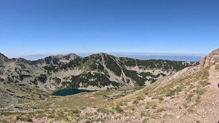
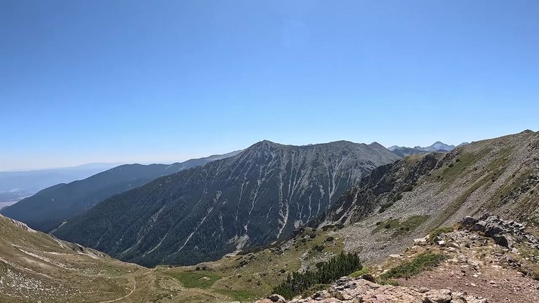
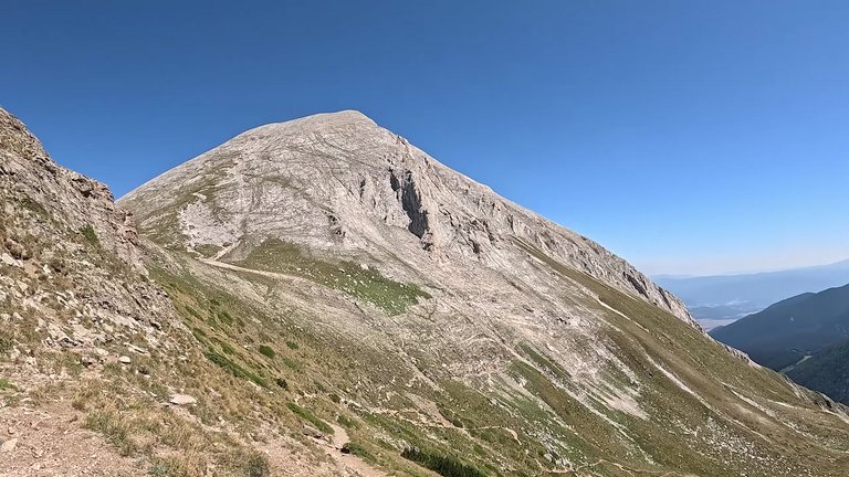
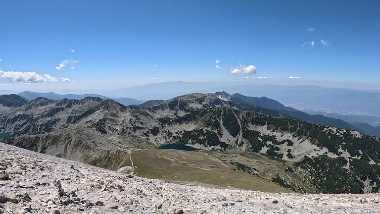
We were near the glacial lake just 100 meters away. We were both tired but in awe of the views. We were so close to the goal. Our excitement grew. It took about 3.5 hours to reach the summit, but it wasn’t too difficult. Once we reached the top, we started enjoying the views. We could see Bansko and the upper station of the ski resort in the distance. Further beyond, we saw Banitsa village and Banya, famous for its thermal baths. If you plan to stay here for a few days, I definitely recommend visiting the thermal parks.
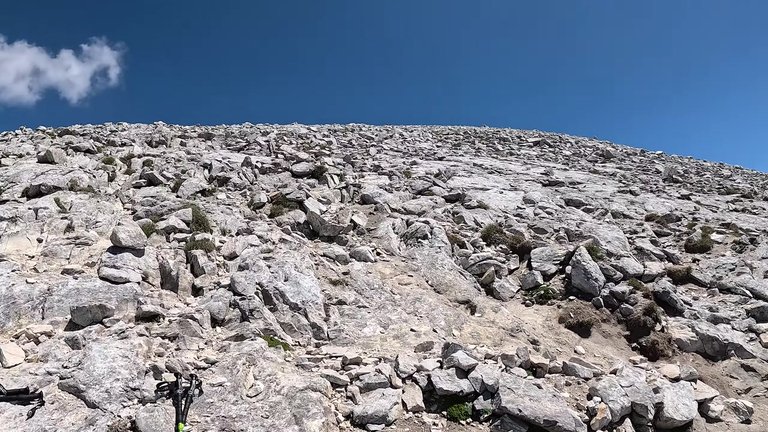
There are several alternative routes to descend from the summit. We chose to head down towards Vihren Mountain. It was quite pleasant to see other hikers on the trail, mostly locals. We took another moment to admire the view.
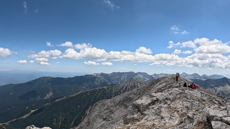
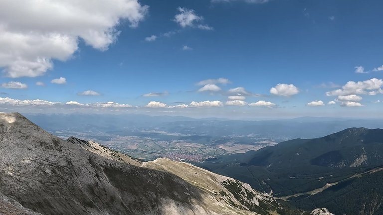
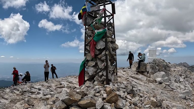
It was chilly in the mountains, even though the weather was warm down below. As we descended we came across a lovely gully with a small snow pile. There could have been a glacier here, but it wasn’t cold enough this year, so there was no glacier. Still there was a snowbank and it was possible to descend there, but honestly, I didn’t have a map and I couldn’t figure out where this trail would lead. If we followed this gully, we would have ended up much lower than where we had parked the car, which I definitely didn’t want.
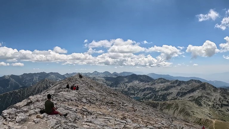
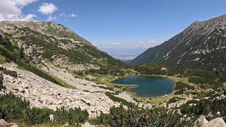
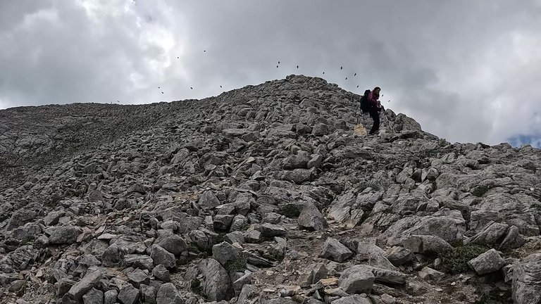
We slowly approached the upper part of the rocky terrain and started descending down the steep slopes. This route seemed safer, but we had to be very careful because it was quite steep and rocky. As we climbed higher, the views became even more stunning. we could see a lake down below. This area was really magnificent.
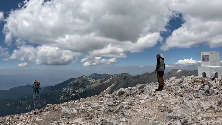
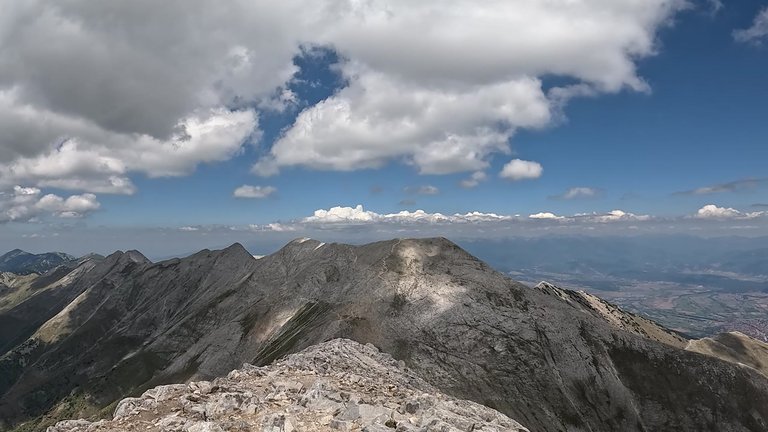
After a while we began descending from the cliffs of these rocks. The path here was narrow and rocky. The wind had picked up a bit, so we were trying to take careful steps. But toward the end of the trail, we found a safer path. It seemed easier compared to the climb, but it was still slippery and we could easily have slipped, so we proceeded cautiously. After a little more walking, we started to feel the fatigue from descending the mountain, but we still had a long way to go.
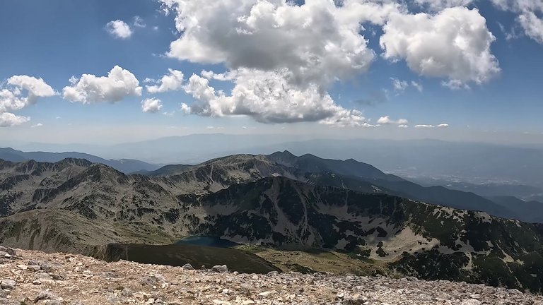
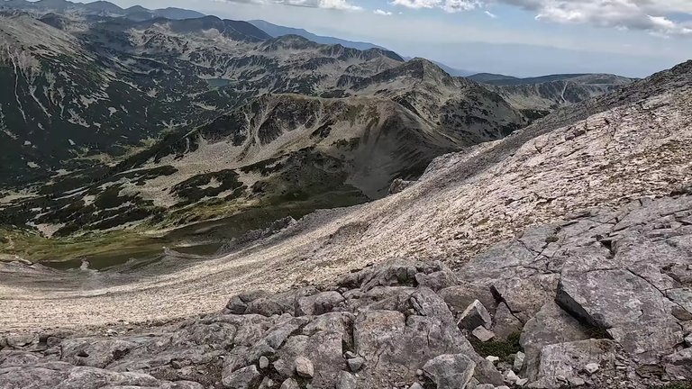
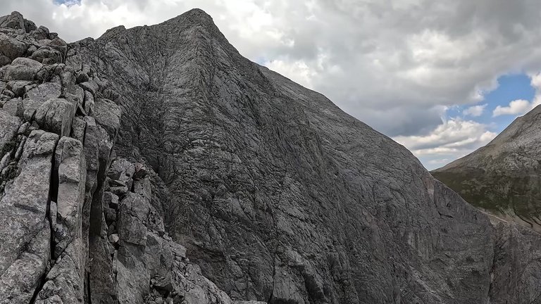
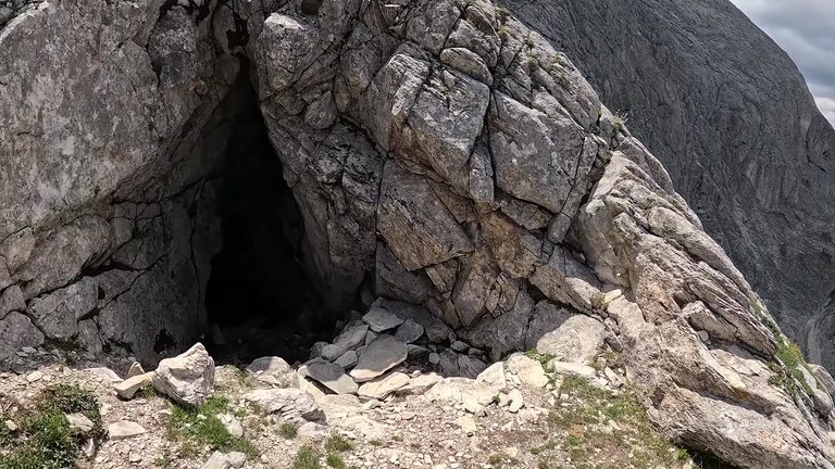
Then, at one point, we saw a cave between the rocks. It looked very deep, so we decided not to enter. These rocks are known as Jam Jiv Fish named after a mountaineer who tragically died here in the early 20th century. This route is famous among Bulgarian climbers for its challenges and on the opposite side, it looks almost like a sheer wall.
Although this journey was tough and intimidating, the views, the environment and nature were amazing. We still had to descend for a while, as we weren’t at the bottom yet.
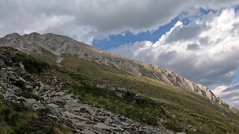
As I’m writing this now, looking at the photos is a bit unsettling. The old, rusty ropes are clearly visible. Without gloves or ropes, it seems nearly impossible to descend from there.
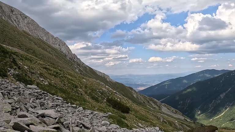
We couldn’t find our way down. We descended to the cave, but there were serious cliffs there with no trail. We tried to descend via the gully, but it was impossible. The slope was around 30-35%, there were no stones, no rocks. Just sheer cliffs, making it impossible to go down. There seemed to be a path and we saw people climbing up from below, but we couldn’t find a way down. We descended about 300 meters but had to turn back. We spent about two hours climbing back up. We were really exhausted. It was 4:00 p.m. and we were hungry, so we decided to have our lunch.
We couldn’t find a way down. We descended along the ridge and reached a rocky area that we couldn’t pass around. There was a cave beside it, which I looked into. Then we turned back along the ridge and followed the path we had taken earlier. We also planned to descend through the gully, but when we looked from above, it became clear that it was really dangerous. Looking down, we saw a steep wall between two rocks, about 45 degrees and to attempt to descend like that would require special equipment. We decided to turn back and retrace our steps back up. We followed that route, but couldn’t find a way to get down through the rocks. We decided to rest before reaching the summit. We were exhausted. According to GPS, we had climbed a total of 1460 meters, which is quite a lot and our legs were completely worn out.
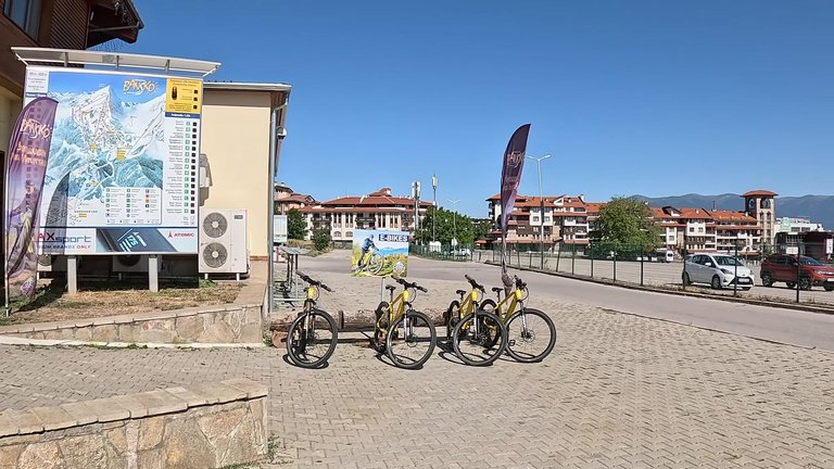
We arrived in Bansko, where the cable car runs in the summer, but in winter, there are long queues. However, when we went, there was no one around, which was really nice. So, we decided to buy tickets. We had been in Bansko before and during the ski season, the town fills up as soon as skiing begins.
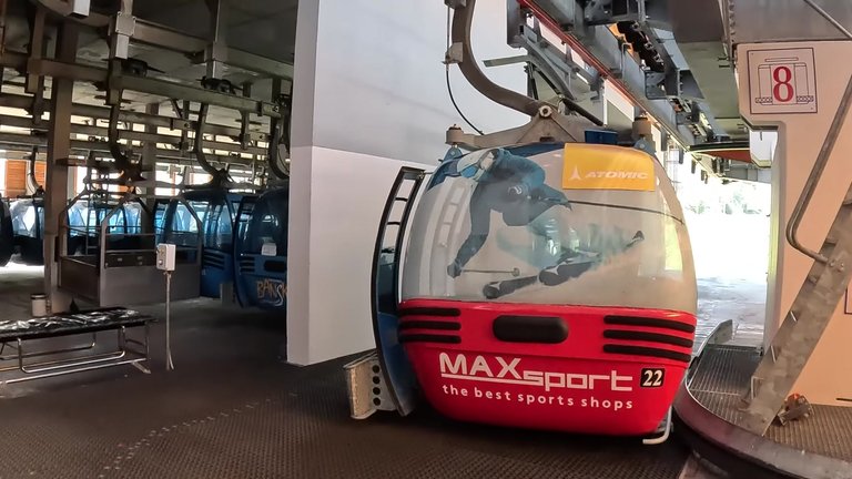
The next day taking the cable car up was really enjoyable. It was just us and the magnificent views. The entertainment options were a bit questionable, though. By the way, the cable car ticket was 44 Leva, almost 25 Euros. You could also drive up, but since we arrived late, we weren’t sure if there would be parking spots. Parking spots on the mountain are really limited and if you come late, you may have to walk quite a long distance. But we didn’t have such a plan.
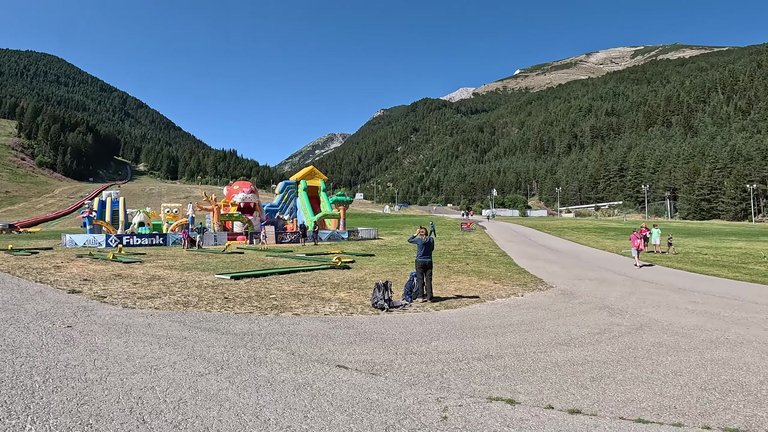
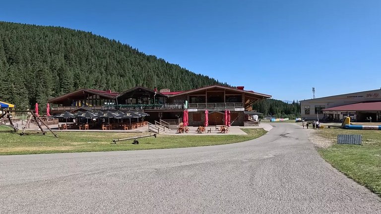
We reached Benderi plain which is a parking area near the lower station of the mountain. Entrance to the entertainment park costs an extra 45 Leva. For just taking the cable car up, the ticket costs 44 Leva, but if you want to enter the entertainment park and do some activities, it’s 90 Leva. We took the cable car down but planned to climb the mountain via the trails above.
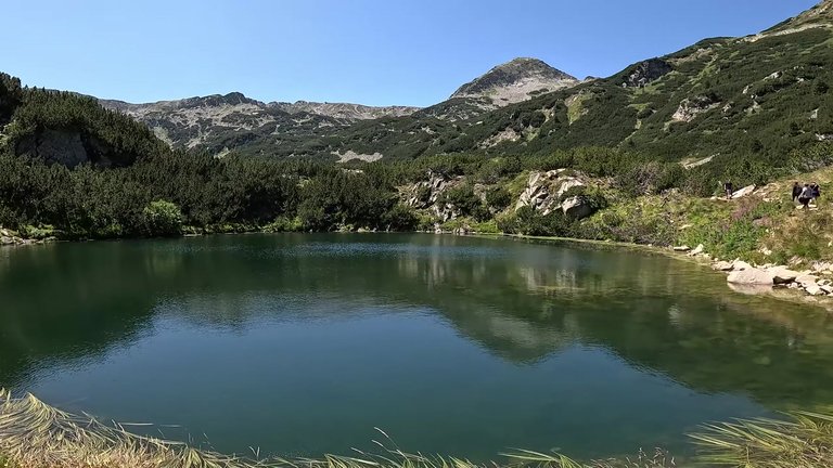
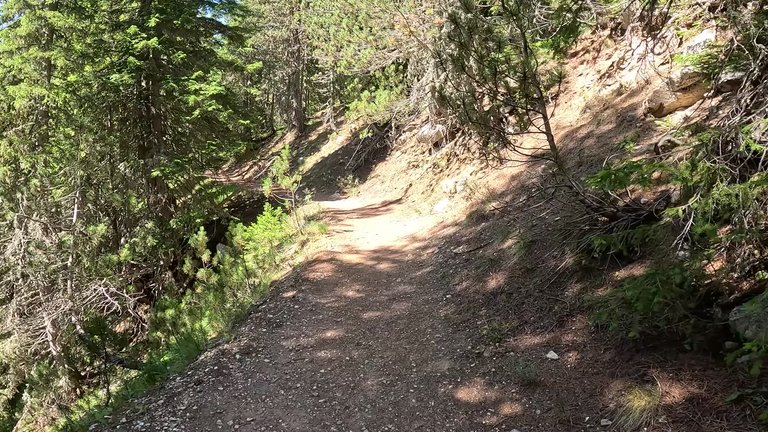
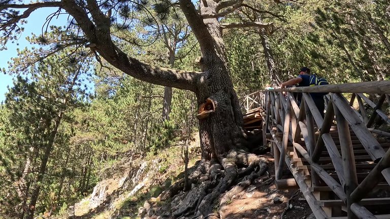
Between Benderi and Vihren, there is a trail for climbers. This route wasn’t too difficult to follow, with not much descent. There were a few rocky areas, but the path was fairly flat and went through the forest. We walked for about 5 kilometers and saw some old trees. As we were going up, we came across a very clear mountain pond. It was beautiful here and we continued to see more natural wonders. This was our final stop.
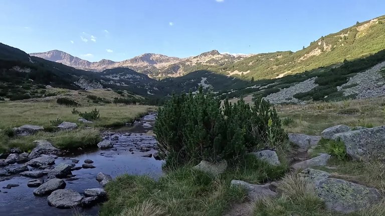
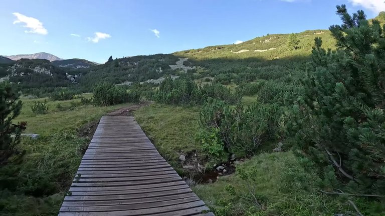
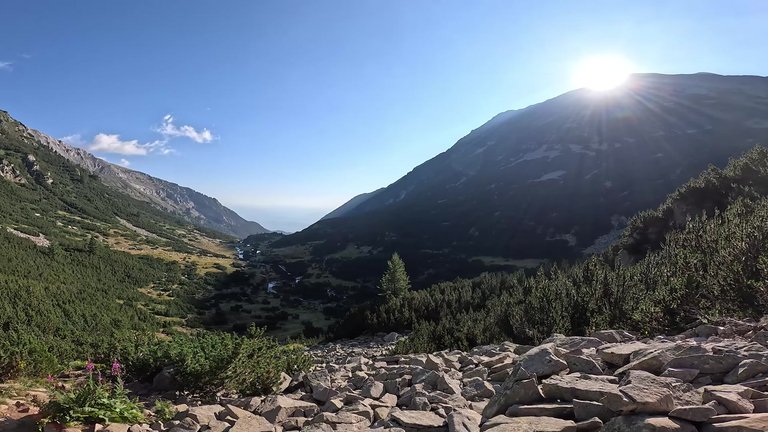
The next day we set out to conquer a bigger peak, Muratov. On the third day of our journey, we walked through a valley, following the river. The beauty and silence were incredible. After a while, the valley came to an end and our leisurely time was over. We needed to climb a moraine, which led us to the stunning Muratovo Lake at its summit. There’s a beautiful waterfall here and the valley was magnificent. We continued walking and savored the incredible views.
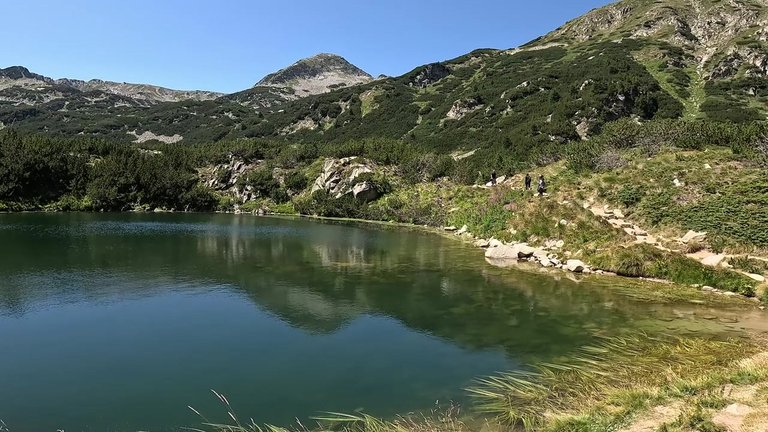
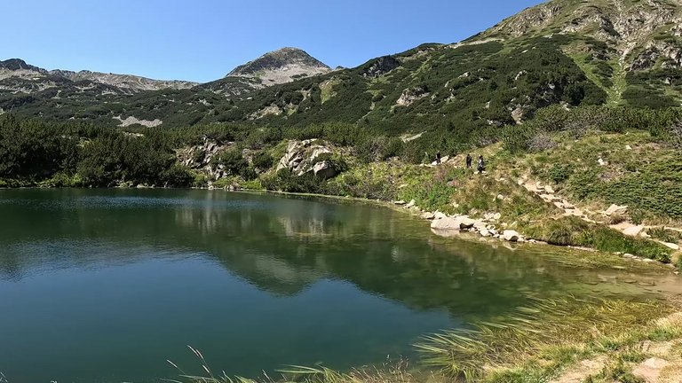
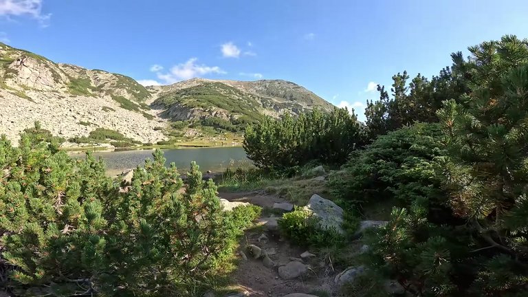
The valley now felt far behind us and the sun began to set slowly. The scenery was mesmerizing. Fresh air, solitude and the mountains became our best companions. Locals were coming down the mountains, collecting wild blueberries. The valley also had Ivancha, a plant listed in the red book, which was spreading across the area. Just when we least expected it, we reached Muratovo Lake. It lay in a massive glacial basin, right beside the moraine wall.
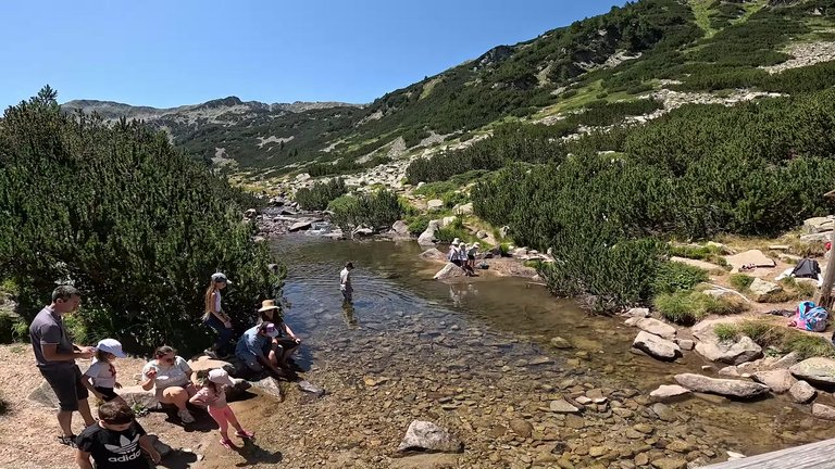
The water here was incredibly clean and impressive. And by the way, there were fish in the lake. They were small, but they were there. Where they came from is still a mystery. We then proceeded towards the next moraine, climbing upwards. Along the way, we encountered a few smaller ponds and the water in them was just as pristine. Our route was heading towards the summit of the pass, so we started climbing. It took us 2 hours and 15 minutes from the Vihren club to reach the pass. The view from the pass was breathtaking. In the distance the Todorka Lakes could be seen.
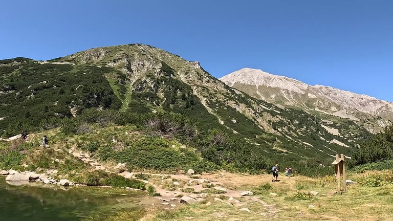
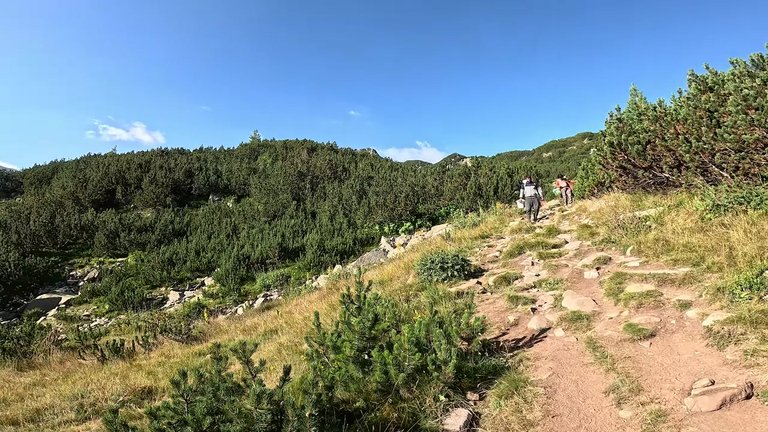
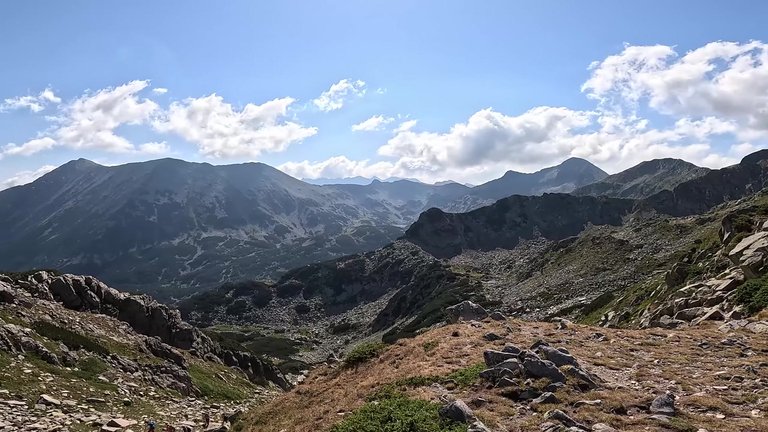
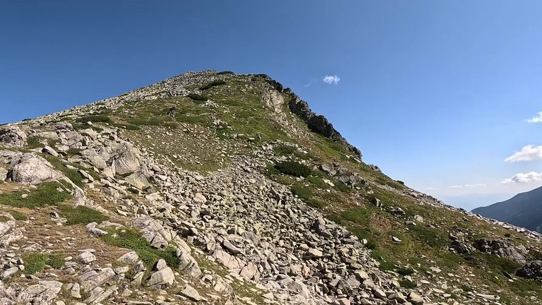
Finally we reached Muratov. There were tourists climbing up as well and the tourist activity in this area was quite intense. The climb to the summit was challenging, with a rocky ascent, but it was completely rewarded by the incredible views we encountered along the way. We reached the top, 2660 meters high, in 3 hours and 7 minutes. This mountain was really fascinating, especially the final stretch where we had to scramble over rocks. It wasn’t just walking anymore. It was climbing.
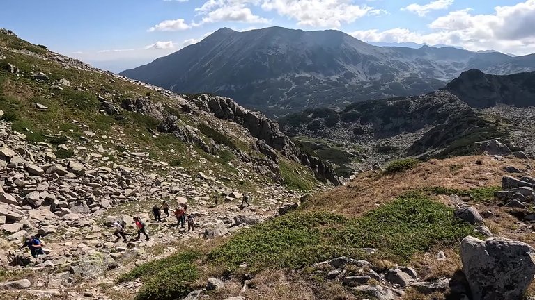
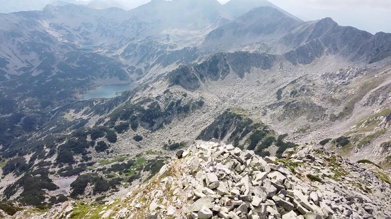
My friend on the other hand, was worried about the descent. "If they decide to rescue us from here, I’ll gladly give up my lunch" he said. I thought about going higher for a moment, but there was nothing more to do here. The summit was flat and long, with no place to stop at the edge. But the views were amazing. Todorka a mountain we didn’t climb this time and Vihren, where we almost stayed, were all part of this incredible mountain range. From here, there's also a route leading to Mulu on the Red Road. This path also leads to Mount Rila, the highest mountain in the Balkans. We mentioned it in our previous post. It’s an amazing sight with lakes everywhere.
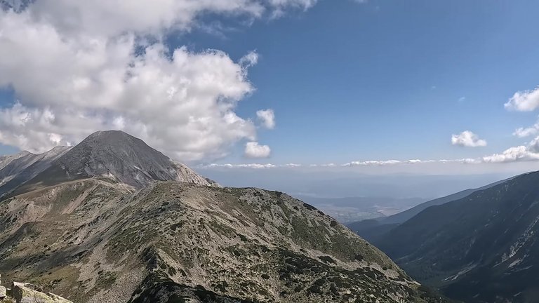
The descent was adrenaline-pumping. We had to climb down from a wall. We enjoyed the views as we descended and it turned out to be an incredible experience. But it would have been better to navigate the summit part without trekking poles. We put the poles in our bags and climbed both up and down the rocks. Now, a more difficult descent awaited us. We eventually reached the lake and everything looked incredibly beautiful.
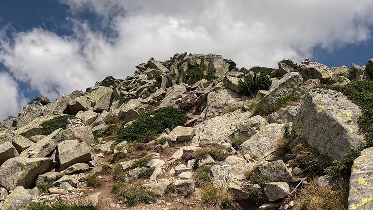
There were many people in this area, mostly families with children,not only locals but tourists as well. Bansko offers great opportunities for mountaineers. Everywhere you go, there are different routes. Along the way there are many mountain huts where you can stay. This makes these mountains a fantastic place for nature lovers.
