Hello fellow travelers, I bring a special post full of beautiful landscapes and very interesting tourist sites around Lisbon, so visit Loures which is full of secrets such as waterfalls, peaks, swings, castles and other things! On my tour today I will take you to the Fuerte Ribas Trail which lasts 3 hours and I walked more than 13km to take you to the best places in Portugal, join me on this adventure!🌍🚩🍍
Hola amigos viajeros traigo un post especial cargado de hermosos paisajes y con sitios de interes turisticos muy interesantes hacia los alrededores de Lisboa para ello visite Loures la cual esta llena de secretos como cascadas, picos, columpios, castillos y otras mas cosas! en mi recorrido de hoy te llevare al Sendero Fuerte Ribas el cual tiene una duracion de 3horas y camine mas de 13km para llevarte a los mejores sitios de Portugal acompañame en esta aventura!🧭🌄

Trail starting point🧭🌍/Punto de inicio del sendero🍍🚩
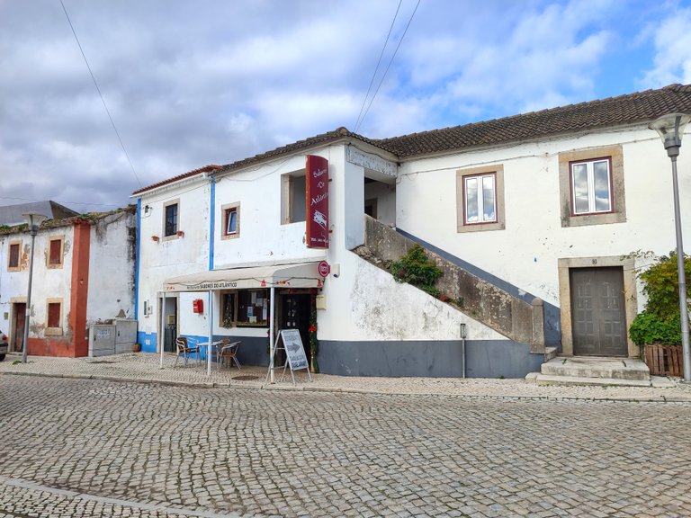
The trail begins in the village Torre da Besoeira which is a very small village in Loures and where I made a small stop for lunch because the trail started late at 12pm, so I recommend having any type of seafood lunch since this area is Known for its fried fish! The village as such has nothing interesting to see and you begin your walk at the following coordinates: 38.882205, -9.166995 What I loved most about the trail is that everything is free, you don't have to pay for anything, just the food and you are not forced because you can bring food on the hike!🧭🍍🚩
El sendero comienza en la aldea Torre da Besoeira la cual es una aldea muy pequeña de Loures y la cual hice una pequeña parada para almorzar pues el sendero lo comence tarde 12pm, asi que te recomiendo almorzar cualquier tipo de comida de mar pues esta zona es conocida por sus peces fritos! la aldea como tal no tiene nada interesante para ver y comienzas tu caminada en las siguientes coordenadas: 38.882205, -9.166995 lo que mas me encanto del sendero es que todo es gratis no tienes que pagar por nada solo por la comida y no eres obligado porque puedes traer comida a la caminata!🍺😍🚵♂️

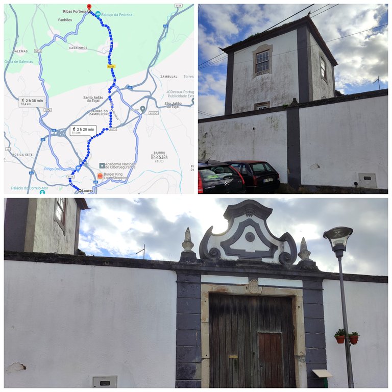
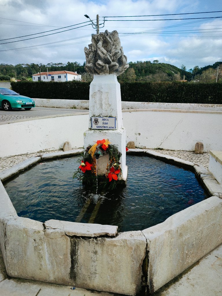
Energies before the walk🧭🌍/Energias antes de la caminata🍍🚩
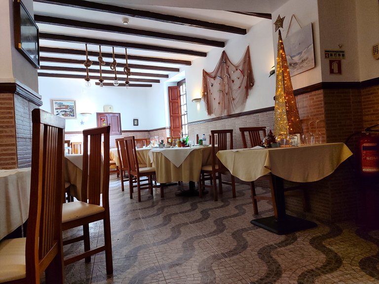
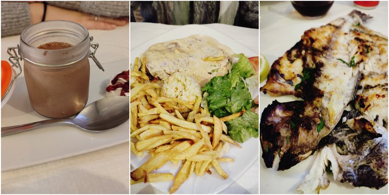
Since my wife works 15 minutes from Loures, she is almost always the one who drops me off at adventure spots to avoid wasting gas and well, today as a reward I paid her lunch, what a delight the fried fish and meat she ordered! In total we spent almost forty euros which seemed economical to include dessert! then from here my real adventure begins!🌷🚙
Como mi esposa trabaja a 15minutos de Loures casi siempre es ella la que me deja en los sitios de aventura para evitar gastar gasolina y bueno hoy como recompensa le pague su almuerzo vaya delicia el pescado frito y la carne que ella pidio! en total gastamos casi cuarenta euros lo que me parecio economico para incluir el postre! luego de aqui comienza mi verdadera aventura!🚵♂️🚩🍍

Time to walk🧭🌍/Hora de andar🍍🚩
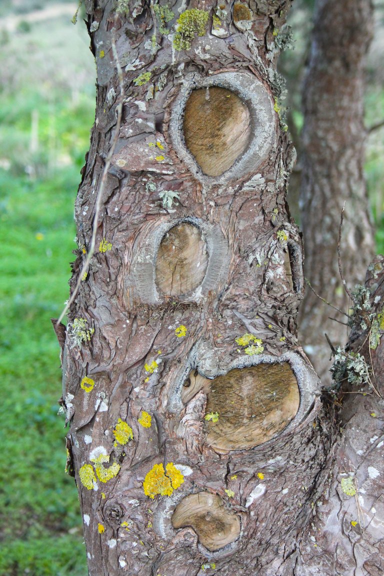
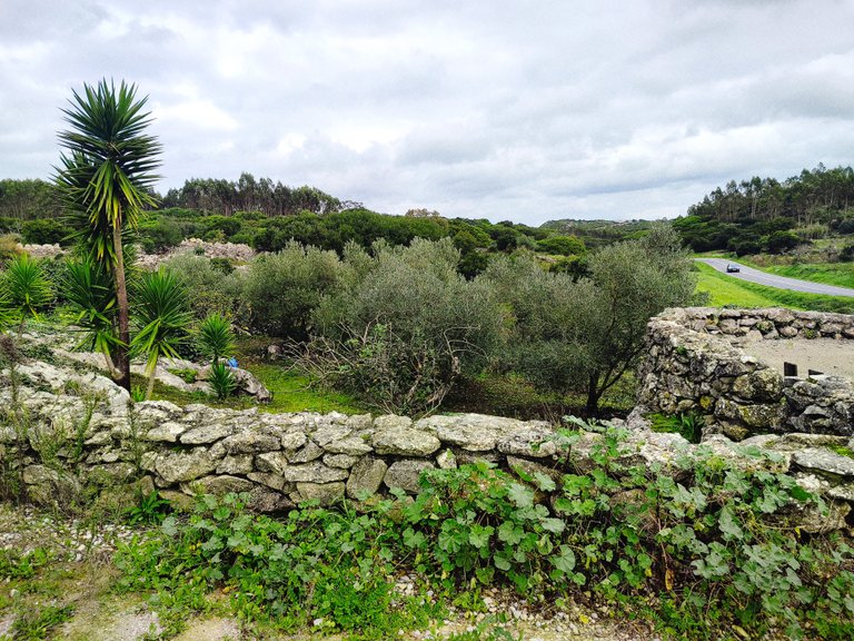
old road🧠🚵♂️🚩
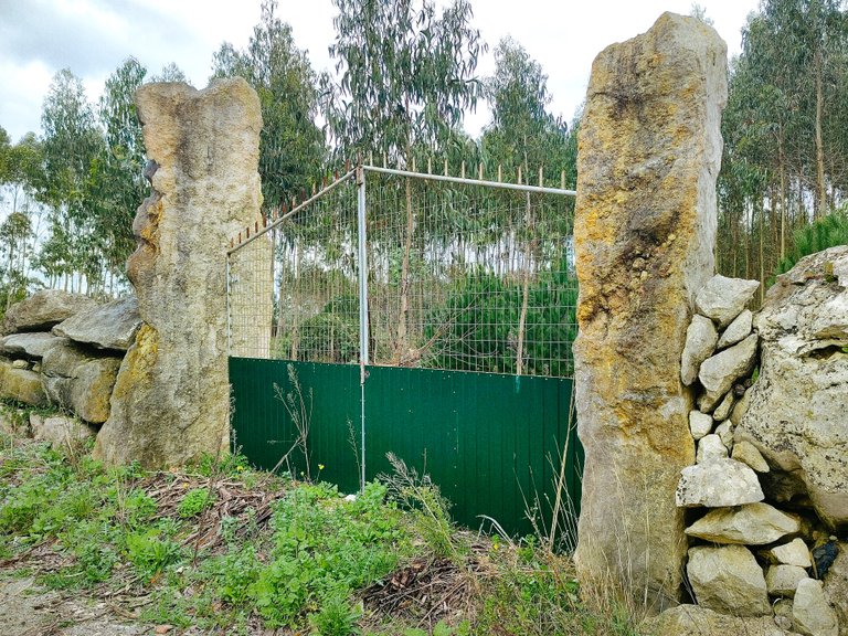
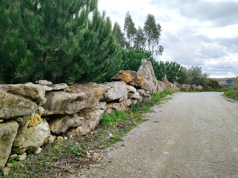
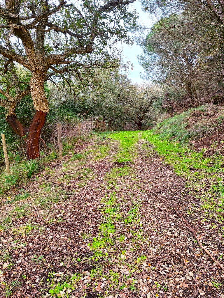
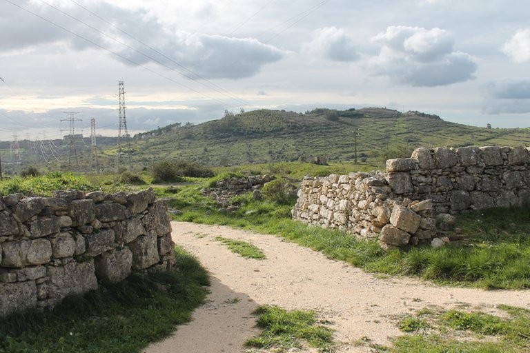
I read online that this is a possible secondary road where the Romans passed more than a thousand years ago. In reality, there is some archaeological evidence that shows that Romans lived in the surroundings of the villages. Passing through here on the trail is a fantastic experience.👀🧭🌏
Lei por internet que esta es una posible carretera secundaria por donde pasaban los romanos hace mas de mil años en realidad hay algunas pruebas arqueologicas que muestran que habitaron romanos en los alrededores de las aldeas pasar por aqui en el sendero es una experiencia fantastica😲🚙

XVII stone windmill🧭🌍/Molino de viento de piedra XVII🍍🚩

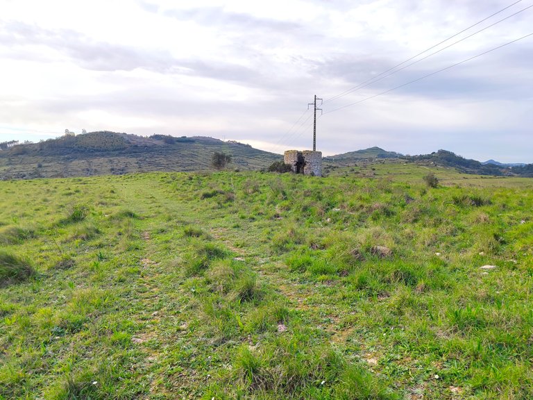
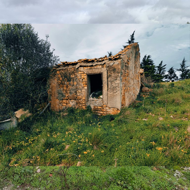
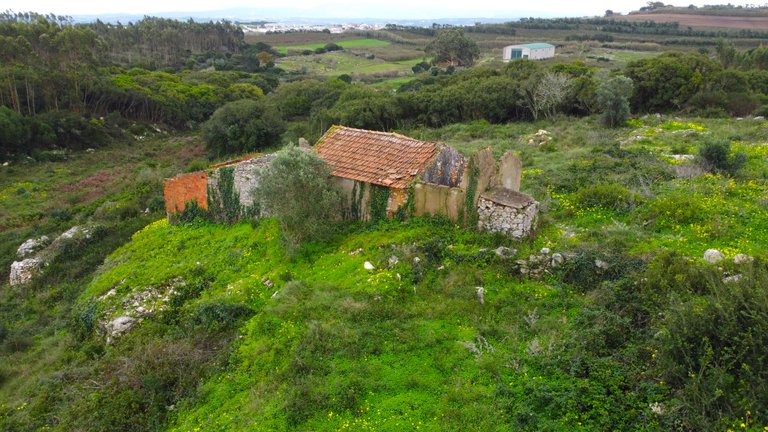
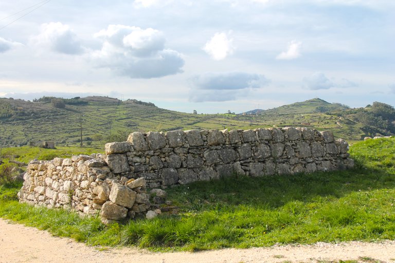
My first stop was here at the stone mill that was normally powered in these areas by the wind from the Loures mountain range and was used to work the seeds! Normally many of them were built since the 17th century, but if you didn't know, the mills already existed since the Romans, therefore in Portugal there are some older ones that are almost a thousand years old. Due to the condition of this one, it is possibly from the 17th or 18th century. I am not a specialist in mills. but all the ones I saw date from that time!🚙🍍🚩
Mi primera parada fue aqui en el molino de piedra que normalmente en estas areas eran impulsadas por el viento de la sierra de Loures y que se usaban para trabajar las semillas! normalmente muchos de ellos fueron construidos desde el siglo XVII pero si no sabias los molinos ya existian desde los Romanos por tanto en Portugal hay algunos mas antiguos con casi mil años, por la condicion de este posiblemente sea del XVII o XVIII no soy especialista en molinos pero todos los que vi datan de esa epoca!🌍🌄

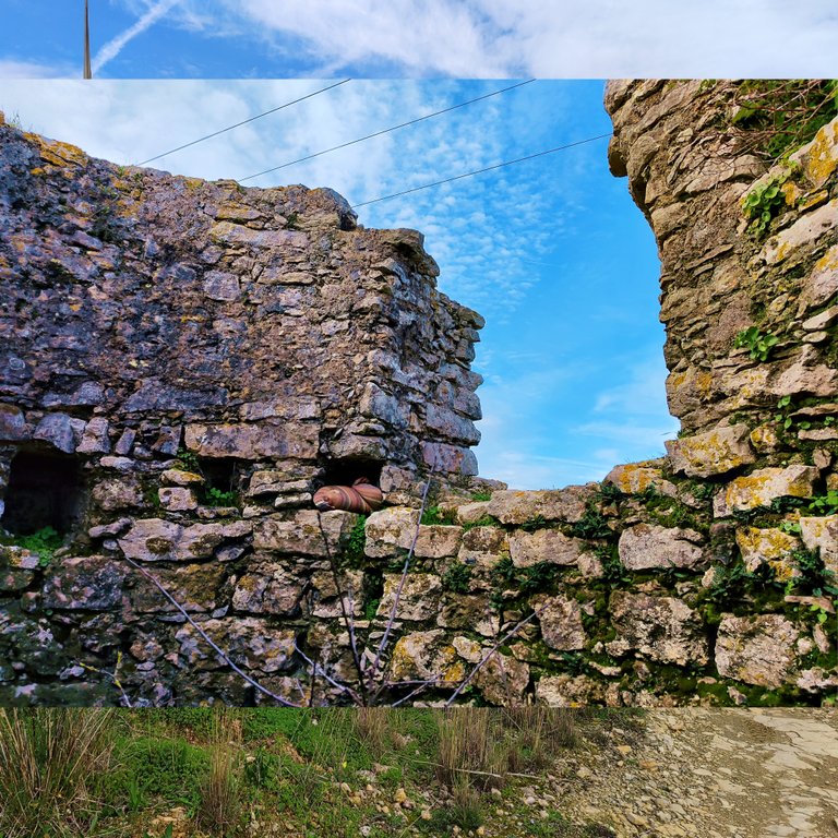
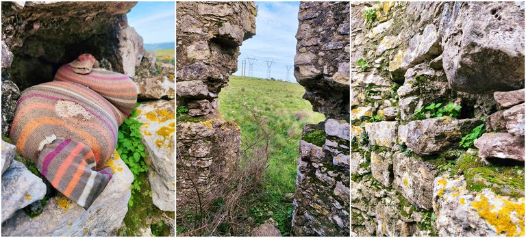

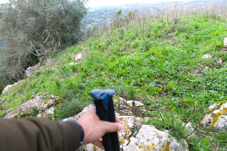
To get to the mill you have to pay attention because it does not appear on the map, however I registered it in Gmaps to help travelers like me locate it, it is not difficult, you can see it when you are near the fort, let's say you have to make a 5-minute detour walking alone Be careful with the terrain when the weeds are high there are many holes and you can hurt your foot so be very careful where you step this area is agricultural!🚩🍍🚙
Para llegar al molino tienes que estar atendo porque no aparece en el mapa sin embargo yo lo registre en Gmaps para ayudar a viajeros como yo localizarlo, no es dificil lo puedes ver cuando estas cerca del fuerte digamos que debes hacer un desvio de 5min caminando solo ten cuidado con el terreno cuando la maleza esta alta hay muchos huecos y puedes lastimarte un pie asi que mucha atencion donde pisas esta zona es de agricultura!🌍🚵♂️🧭

Picoto Peak Cross🧭🌍/Cruz del pico Picoto🍍🚩
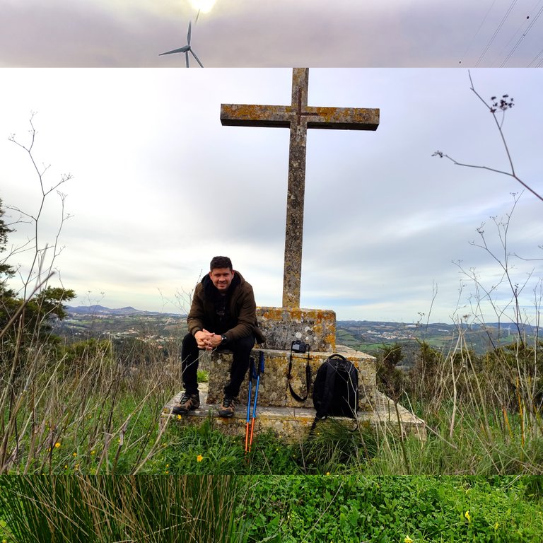
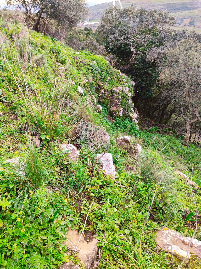

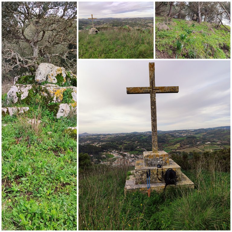
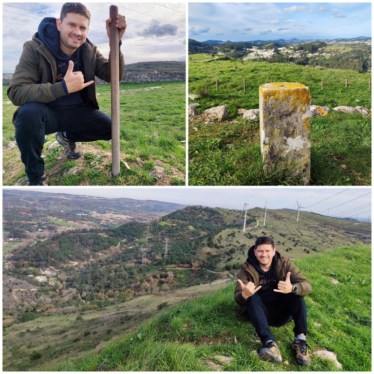
ufff!!! How can I not remember this brutal climb to the top of Picoto Peak, I think it has been one of the most difficult I have ever done in my life, first getting here with Gmaps was stupid because it sent me down a hill that was too steep and the same with it. Proper equipment is quite risky because you slip many times and if you fall you can hurt yourself a lot, so it is better to follow an alternative path to get here that is not dangerous and you get to the cross faster! It is not known, I was researching the cross but there is no information on the internet! I suppose it was from the 19th century because it had marks from people who came up in the 80s and 90s!🌍🚩🌄
ufff!!! como no recordar esta subida brutal hasta la cima del pico Picoto creo que ha sido una de las mas dificil que ya hice en mi vida, primero llegar aqui con Gmaps fue una tonteria porque me envio a meterme por una colina demasiado empinada y mismo con el equipo adecuado es bastante riesgoso porque te resbalas muchas veces y si te caes puedes hacerte mucho daño por eso es mejor seguir un camino alternativo para llegar aqui que no es peligroso y llegas mas rapido a la cruz! no se conoce estuve invesitango sobre la cruz pero no hay informacion en internet! supongo que sera del siglo XIX porque tenia marcas de personas que subieron en los ocheinta y noventa!🚩🌍

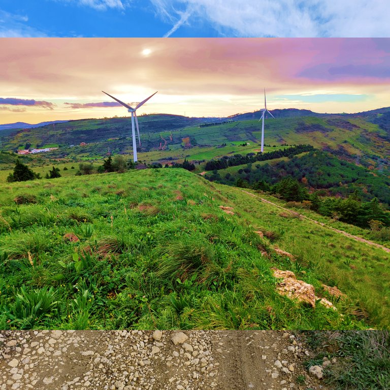
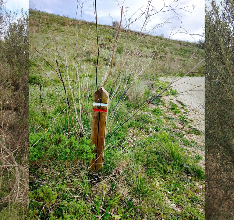
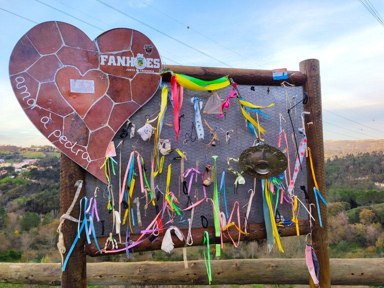
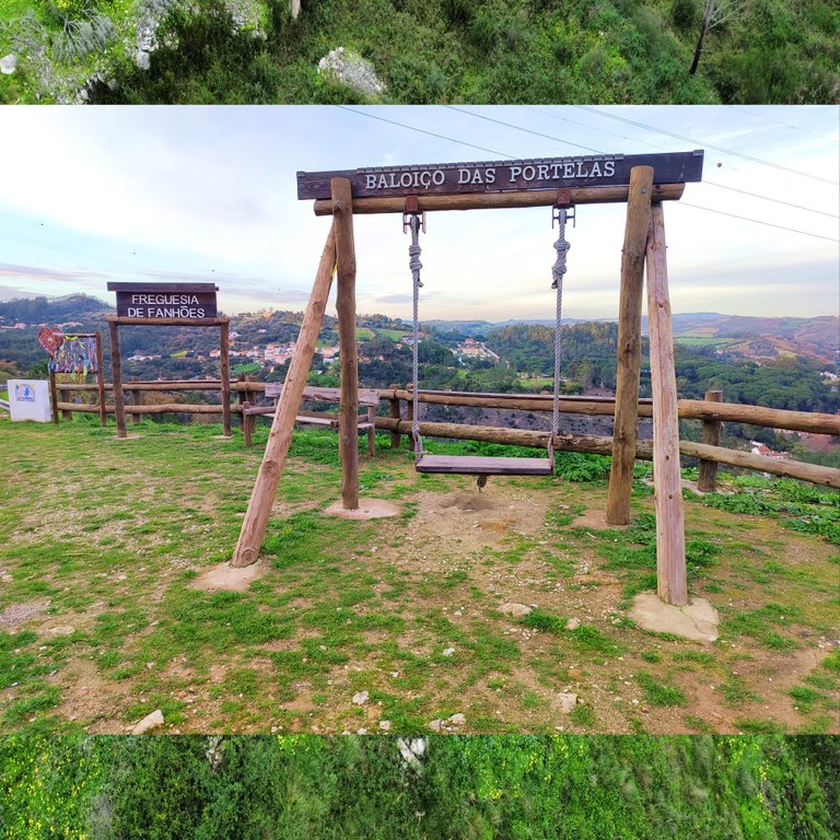
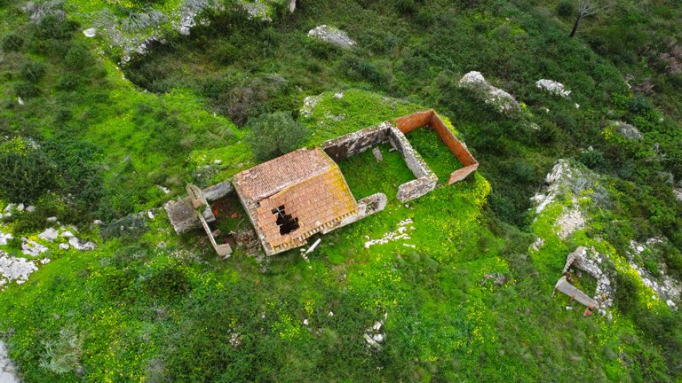
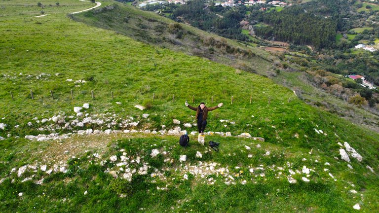
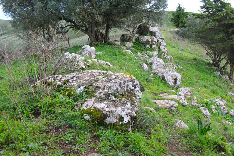
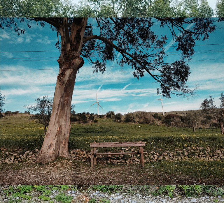
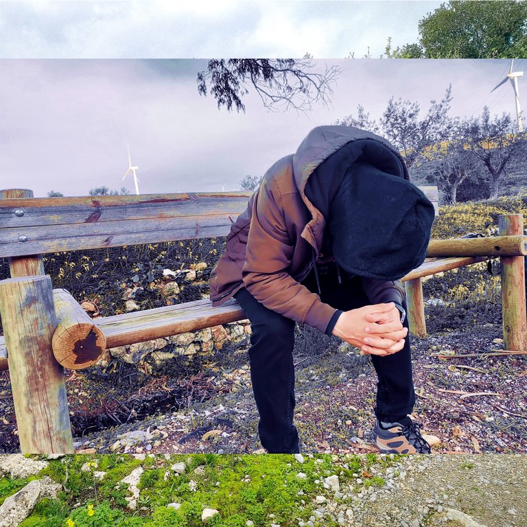
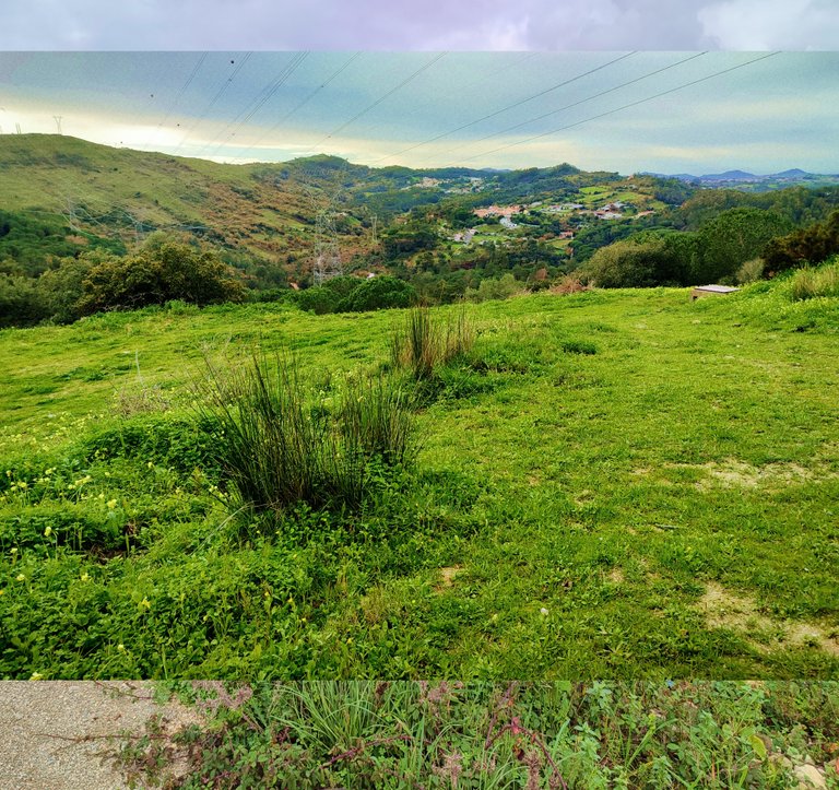
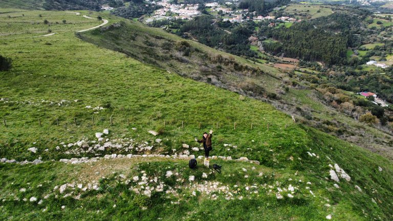
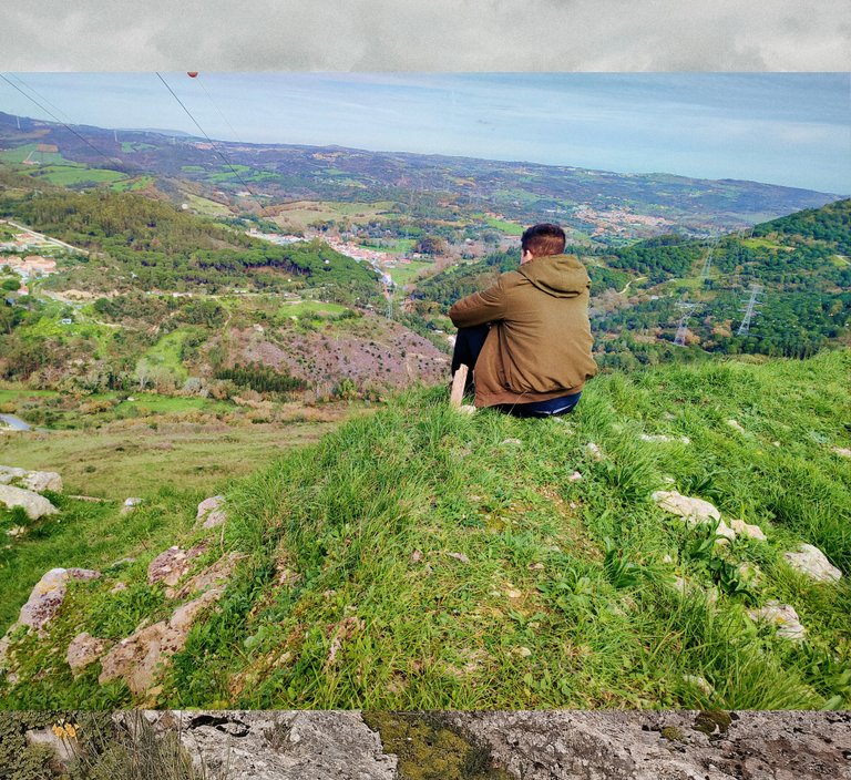
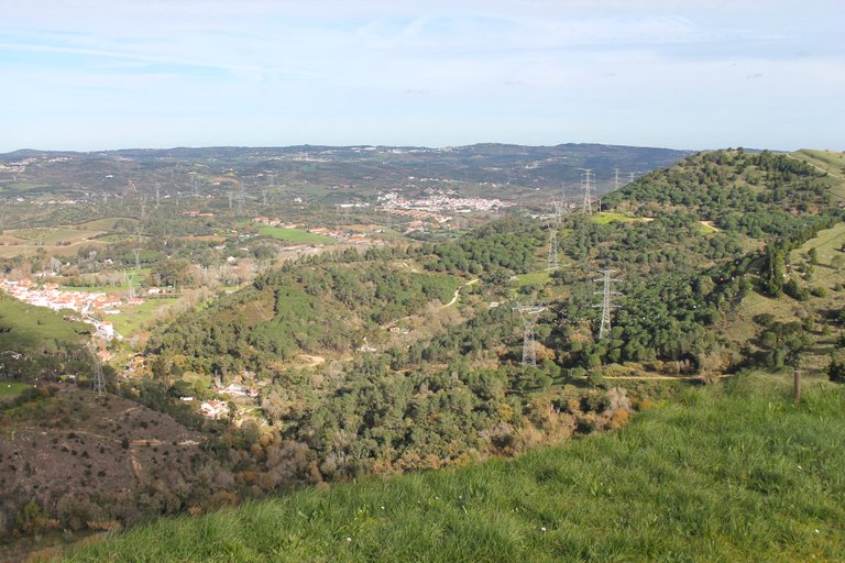
At this point we reached one of the Fanhones viewpoints, which has a swing and one of the most beautiful views of the place. Nearby we found this chair which we rested and I took the opportunity to take some photos! At this point I think I walked more than 8km and I was quite tired after the climb to the cross!🌄🧭
Hasta esta altura llegamos a uno de los miradores de Fanhones, el cual tiene un columpio y una de las vistas mas bonita del lugar, cerca encontramos esta silla la cual descansamos y aprovecho para tirar unas fotos! a esta altura creo que camine mas de 8km y estaba bastante cansado luego de la subida a la cruz!🍍🌷

Last stop Fuerte Ribas🧭🌍/Ultima parada Fuerte Ribas🍍🚩
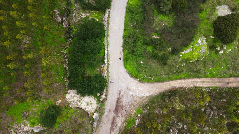
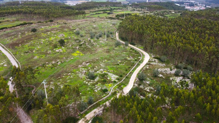
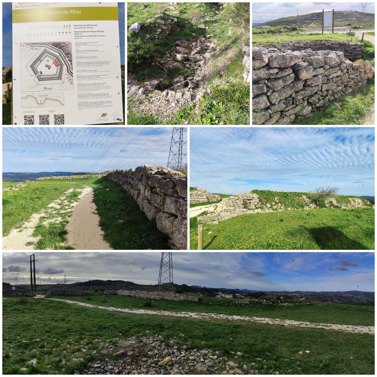
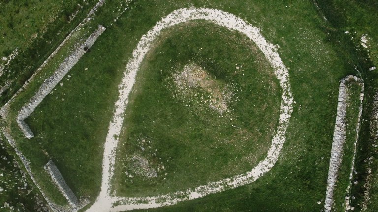
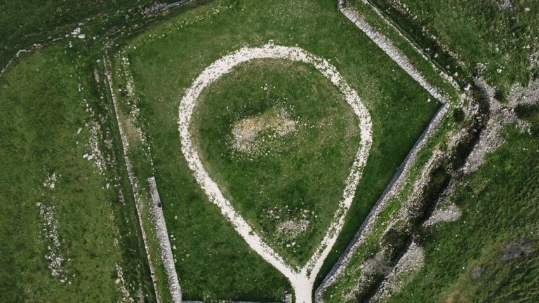
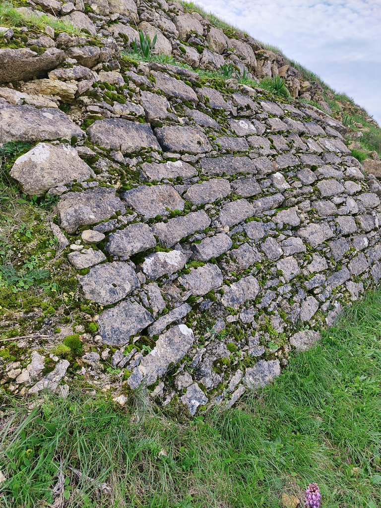
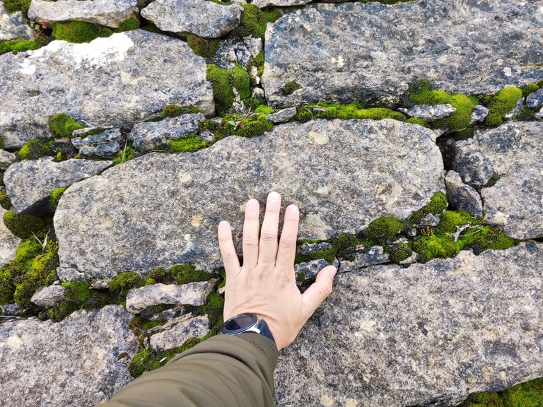
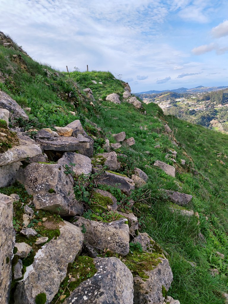
This military fort is located more than 400 meters high and together with other forts lined up in the area, it constituted a large military fortress that protected Lisbon on the north side. It is believed that it was built in the 18th century. It had a garrison of 300 men and a capacity of four cannons for me one of the best preserved in the area because the other forts I visited here in Loures were destroyed except this one! I guess it's because it's so isolated!🌄🧭💂♂️💂♂️
Este fuerte militar esta situado a mas de 400 metros de altura y junto con otros fuertes alineados en la zona constituida una gran fortaleza militar que protegio lisboa por el lado norte se cree que fue construido en el siglo XVIII tenia una guarnicion de 300 hombres y una capacidad de cuatro cañones para mi uno de los mejores preservados de la zona porque los otros fuertes que visite aqui en Loures estaban destruidos menos este! supongo que es por estar muy aislado!🚩🌍




DNA is an organization to foster and DENSIFY NATURE-APPRECIATION which aims to establish REPORTS OF BIODIVERSITY DATA that is contributed by all of us Hiveans and subsequently cataloged.
Therefore DNA searches for HIGH-QUALITY posts that aim to DESCRIBE and determine the BIODIVERSITY AROUND YOU with added EXPLANATIONS and INFORMATION. For these informative posts they offer a CURATION SERVICE using the @dna.org account. It is also a CURATION TRAIL. Just add the #dna TAG if you think that any of your posts is what they are looking for.
THANKS FOR READING ME (PHOTOS OF MY PROPERTY) / GRACIAS POR LEERME FOTOS DE MI PROPIEDAD🙂🧠🦾👍


