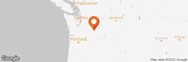
When I set out on my ill-planned road trip, I didn't have a specific schedule in mind, just a general itinerary of possibilities and a willingness to abandon it as opportunity arose. I left home later than I had planned because last-minute chores kept interrupting my departure, but I eventually made my way down to I-90, up the hill west out of Spokane, and finally felt properly on my way.
At Ritzville, I diverted to U.S. Route 395 south toward the Tri-Cities of Pasco, Kennewick, and Richland on the Columbia River. The Blue Bridge is a landmark for the region, but it was a major bottleneck because apparently they started repainting it this year, and all the merging roads had to condense down to just two lanes, one each way, to cross. The outer lanes were blocked off and work crews were swarming the structure. There were also massive tarpaulins covering parts of the project. Traffic slowed to a standstill at points, but I found other drivers surprisingly courteous and willing to merge in a semi-orderly fashion throughout.
Once through the cities, I started looking for Interstate 82, technically an east/west freeway, but honestly, it runs more north/south. I should have turned into I-82 East, but accidentally totally intentionally and adventurously got on I-82 West. I wanted to go west, after all. I discovered my mistake once I saw signs saying I was bound for Yakima, and decided to just go with the flow instead of turning around. It was an alternate longer route to the Columbia river via U.S. Route 97, which I had only driven once before and remembered as an interesting drive through quite mountainous terrain. It leads toward Maryhill, where there is a monument and museum I wanted to see. More on that in a future post.
Unfortunately, I missed my exit, and found myself northeast of Yakima. I pulled over at a fruit stand of unusual size and decided I needed a break for map-reading and a restroom visit. I was also getting hungry. Unfortunately, I discovered I had left my atlas back at home, and the store had little other than seasonal apples and onions. I wanted something more. Fortunately, the store offered photo opportunities.
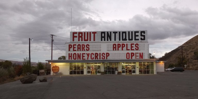
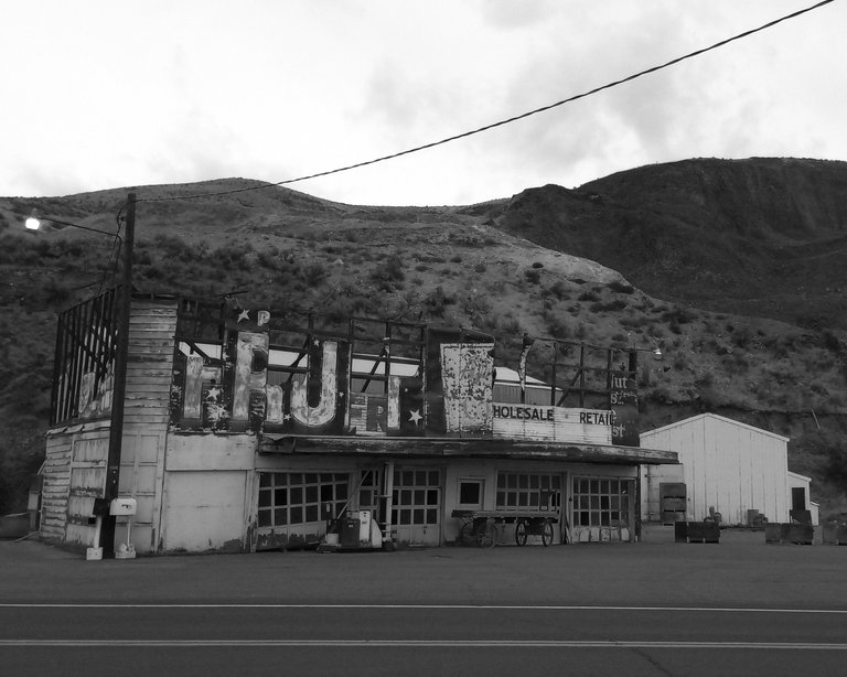
I cropped the image and played with some filters in GIMP to make a monochromatic version of that photo. The sky was overcast, and this part of Washington is semi-arid, so the brown hills look that way most of the year. I'm not sure whether removing color adds anything to this.
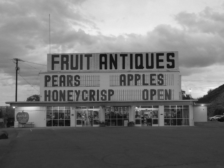
This is also an antiques and collectibles store where various vendors can rent sections of shelving to sell their wares, so souvenirs and curios aplenty were available inside. I neither bought nor photographed any of them. I did, however, take a snapshot of what appeared to be the old location. The side road is probably an older incarnation of what is now a modern limited-access divided highway.
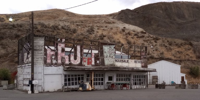
I also shared a black-and-white shot of this building from a very slightly different angle as a Snap and in a previous post, but I'll repeat it a third time anyway. Here, I think it adds to the sense of decay and antiquity.
At any rate, after this detour, I made my way back into Yakima, bought some sandwich-making supplies, and headed for Route 97. There were signs for a railroad museum in Toppenish, but it was much too late in the day, plus it looks like they're closedfor the season. It's a future excuse to travel again, right?
It was getting dark, so the road was less of a spectacular vista, and more of a winding journey into darkness illuminated only by taillights, headlights, and reflective road markers. I didn't mind much being held up by a truck towing a trailer, but other more impatient drivers were eager to pass at every opportunity. The only really nerve-wracking bit was the turns and switchbacks down to the Columbia River at Maryhill to the Sam Hill Memorial Bridge. I merged onto Interstate 84 at Biggs Junction on the Oregon side and continued driving into the night until I reached The Dalles. I found a motel room and stayed the night.


