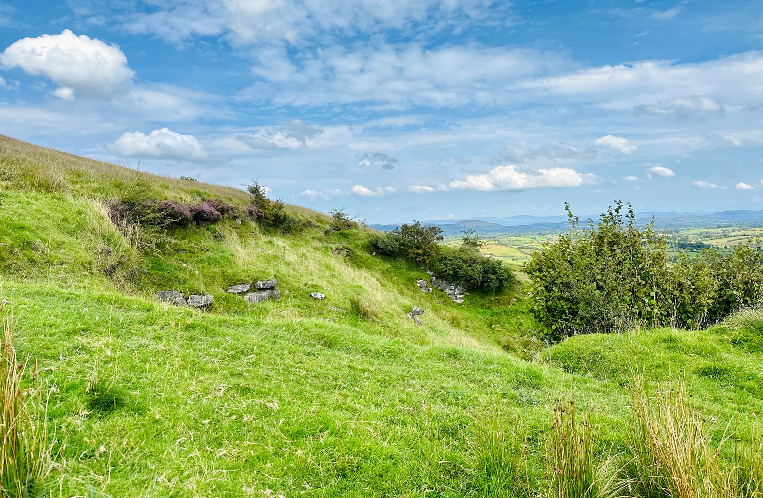
Hi all 👋🏻

Today I want to share with you my walk going up a very STEEP hill. KNOCKNASHEE aka HILL OF THE #FAIRIES 🧚🏻♀️ what is to believed one of Ireland’s largest Bronze Age hill-forts in THE OX MOUNTAINS in COUNTY #SLIGO ~ IRELAND 🇮🇪
With this post I’m joining in at the Wednesday Walk challenge and Make me Smile challenge. That are hosted by @tattoodjay and @elizacheng every week on Wednesday.
‼️Have a look: Here in the Wednesday Walk Community if you want to join in!… the community is run by @tattoodjay.
Look at his last Wednesdaywalk post here: “Wednesday walk sunrise at Fort Tabor Beach“
It will tell you also the rules of joining at the Wednesday walk posts 😁 come join us! It is fun!
Today’s selection will be of 49 PHOTOGRAPHS
Date: 17 AUGUST 2023.
The Photographs in this post are all taken with my iPhone 📱🤓
I will follow the time stamps on them. So it looks like you are experiencing my adventures on this #walk, to 💃🏻💃🏻💃🏻 #discover everything what I saw, like the little #details seen through my eyes and observe with me this #WALK uphill and the #stunning #views of the scenery around us. A little view of county SLIGO #ireland 🇮🇪 😊
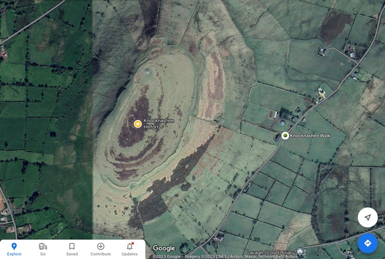
The location of #KNOCKNASHEE you can find on the following screenshot of Google maps with the yellow star ⭐️the start of the trail is the tree 🌳 :
For ease… I drew the trail in purple on the same screenshot :
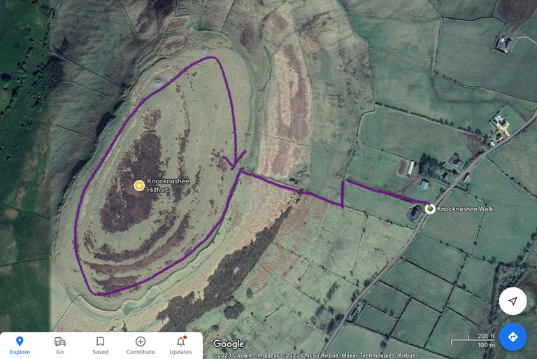
Do you see the structures we will walk by?
Zooming out we get the following screenshot from Google map :
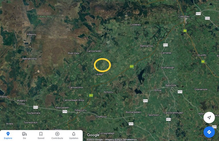
Just looking at it from above… makes one curious the explore the flat plateau. 😎
Some information about KNOCKNASHEE you find in the following website: Knocknashee Wikipedia
More information I found here: Sligowalks - Knocknashee!
It tells us;
Knocknashee, is a notable feature in the generally flat, low-lying landscape of South Sligo. Rising to 270m, the 53-acre limestone plateau (what means the hill is a table top mountain) is clearly visible from the nearby N17 Galway-Sligo road. With its encircling earth and stone ramparts, burial cairns, and hut sites, Knocknashee is rich in megalithic history and holds a central part in Irish #folklore. It is believed to have been a fortified pre-historic town, possibly the ‘capital’ of late-Bronze Age Connacht (c. 1000 BC). Michael Gibbons, one of Ireland’s leading field archaeologists, refers to it as “one of the great European hill-forts”.
Knocknashee is part of the Ox Mountain range, formed 300-340 million years ago during the Carboniferous period.
At the summit you will find evidence of two cairns which were possibly passage tombs, evidence of the hill’s importance to our #ancestors.
Have a read… it’s interesting to know about so much history 🤓 you find in that website also a #youtube video of the hill!
But…
Without further ado let’s start our walk now 😊
Are you coming along… all the way up?
Ok 😎 than strap your walking boots 🥾 up tight… here we gooooo…
At the parking lot we see this sign:
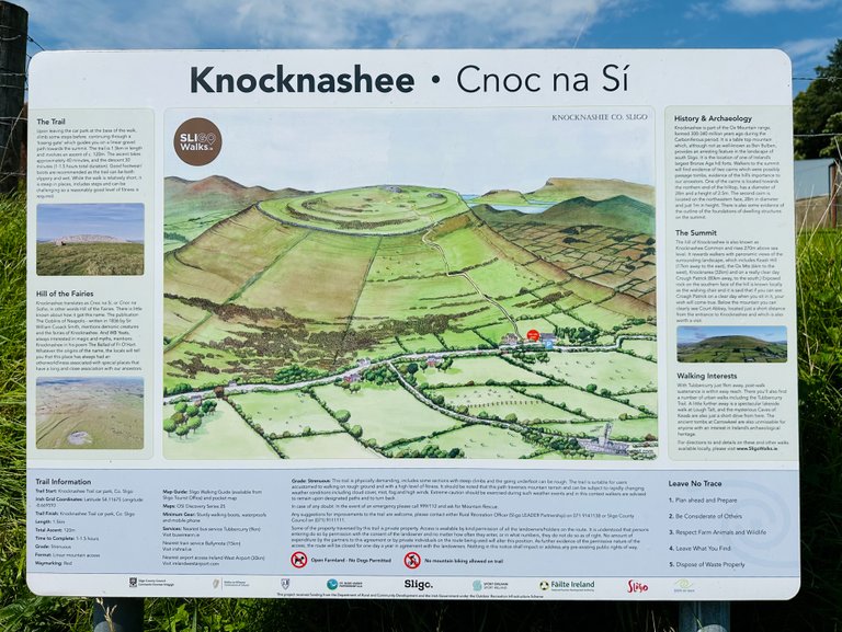
This sign tells us;
Grade: STRENUOUS: This trail is physically demanding, includes some sections with steep climbs and the going underfoot can he rough. The trail is suitable for users accustomed to walking on rough ground and with a high level of fitness. It should be noted that this path traverses mountain terrain and can be subject to rapidly changing weather conditions including cloud cover, mist, fog and high winds.”
Yep, we are prepared 😉 are you?
We also read a bit more…
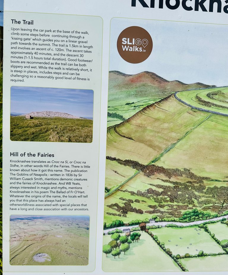
The text tells us the following about the HILL OF THE FAIRIES 🧚🏻♀️
Knocknashee translates as Cnoc na Sí, or Coc na Sidhe, in other words Hill of the Fairies. There is little known about how it got this name. The publication ‘The Goblins of Neapolis’ - written in 1836 by Sir William Cusack Smith, mentions demonic 😈creatures and the fairies 🧚🏻♀️ of Knocknashee. And WB Yeats, always interested in #magic and #myths, mentions Knocknashee in his poem “The Ballad of Fr O'Hart”.
Whatever the origins of the name, the locals will tell you that this place has always had an #otherworldliness associated with special places that have a long and close association with our ancestors.
So soooo interesting 🙂
After getting up some steps we enter the gate and start the trail.
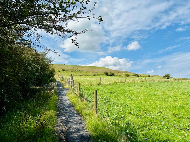
Looking back where the car is parked…

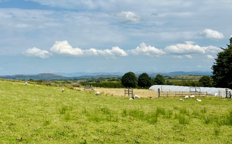
The view up ⬆️ where we want to go.
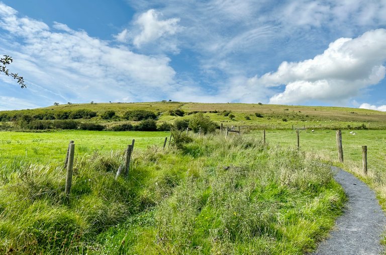
We see sheep 🐑 🐑 🐑 🐑 in the fields next to us. We are crossing private grounds here as is mostly the case in Ireland when going for walks and hikes.
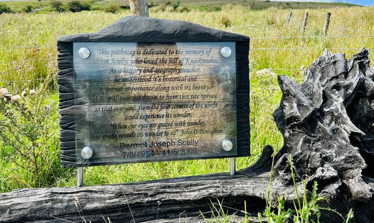
At the first bend we find:

It is a memorial for someone that loved this hill.
Looking down again, as you can see… we are climbing up rather fast. The trail is steep. So this little bit going flat to the left is welcome to catch some breath again for the steepest part of this hike up 😎

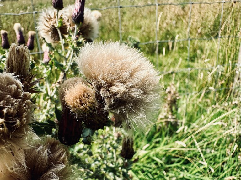
I find some flowers 🌸 ok… it is a thistle. But still beautiful in my eyes 😊
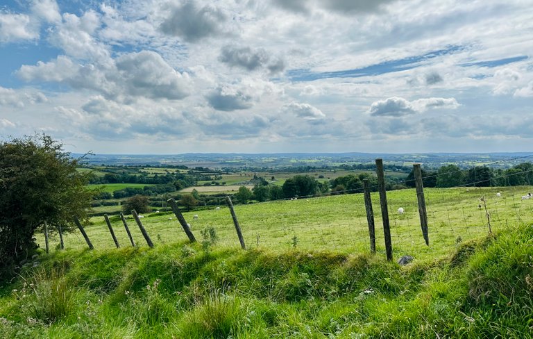
We look around and take in the views… so beautiful 😍
Towards the right…
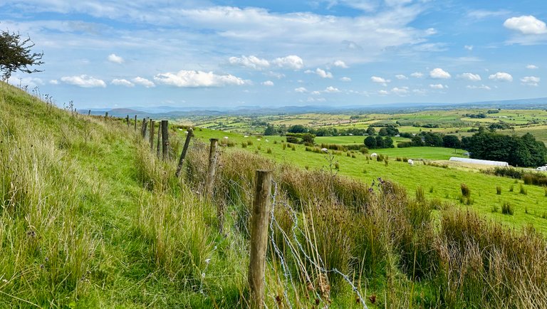
And the scenery back down again 🙂
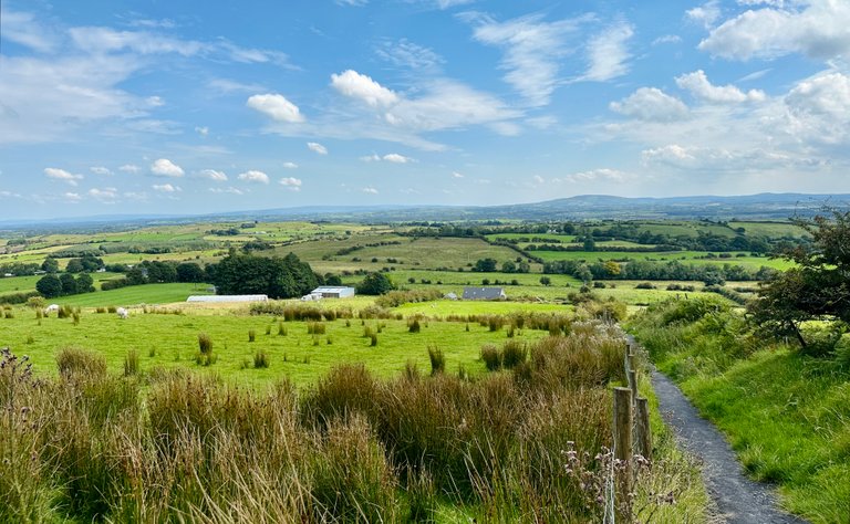
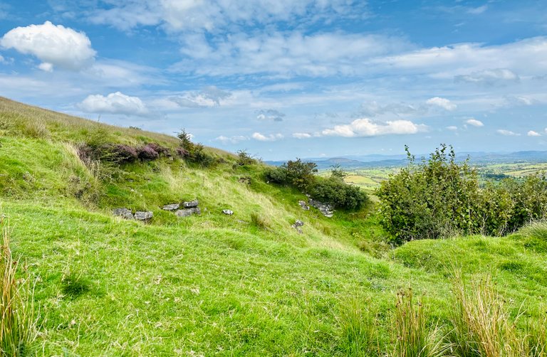
As we climb up higher I notice some details… maybe structures.
A little bit further there is a flat bit where we can rest for a few moments.
We find these carved statues out of wood.
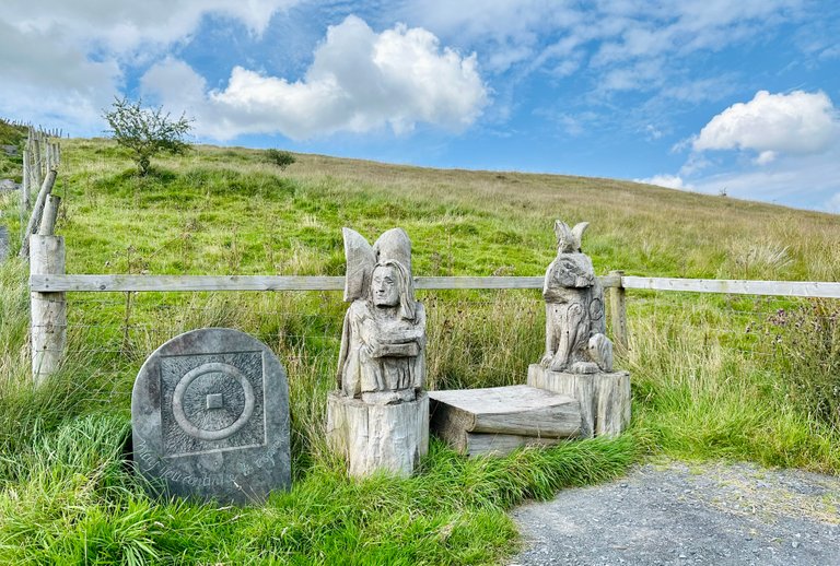
The carving out of stone tells us: ’May you continue to inspire us.’

We definitely needed a break here, but… how can we not take a few moments and see… truly see around us 🥰 right?
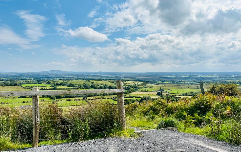
As we continue to climb higher and higher…
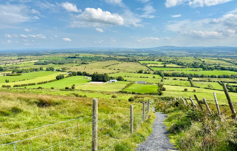
We are almost 😅 at the top of the hill.
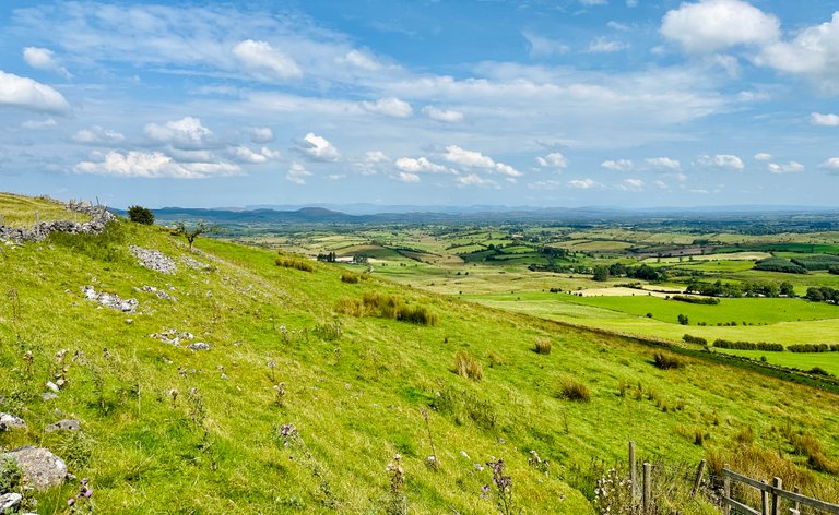
We climb over this structure…

Beautifully made don’t you think?
Here we see around us more sheep 🐑🐑🐑🐑
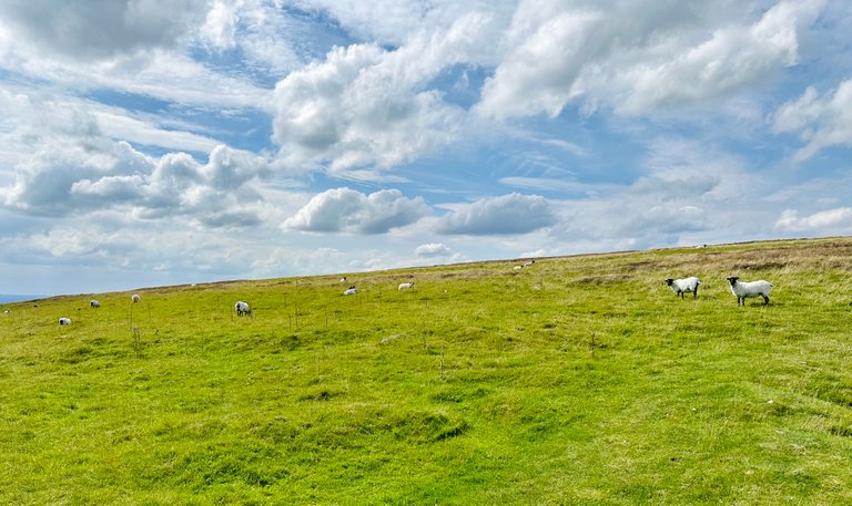
The heather is flowering purple… if you look closely you see it is rather windy 🌬️ up here.

I try to capture the heather… the strong winds 🌬️🌬️🌬️ are not helping 😉
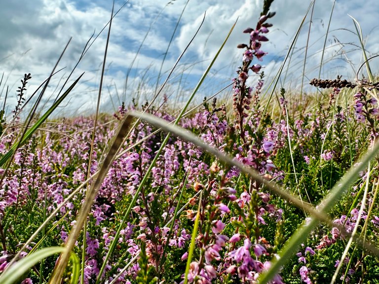
One more try… 💜💜💜

We reached the middle of the plateau.
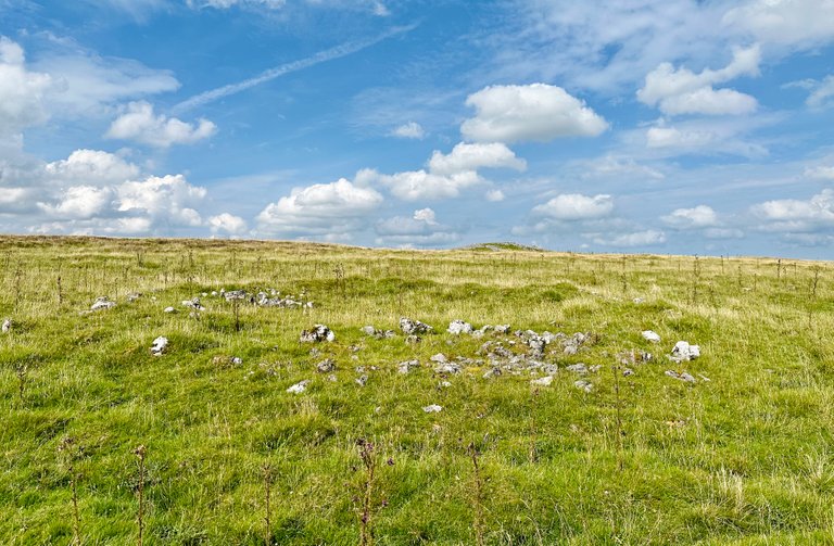
Looking around… the sheep look up to see what we are doing.

We make our way towards the north side, to see the structures saying bye to the sheep as we walk the other way.
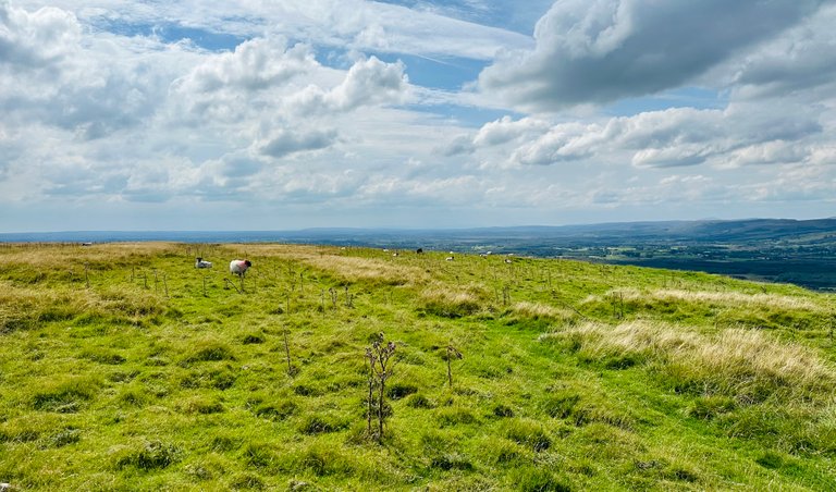
Here we are still catching our breath’s from the very steep trail up… but with the string wind 🌬️ it is hard.
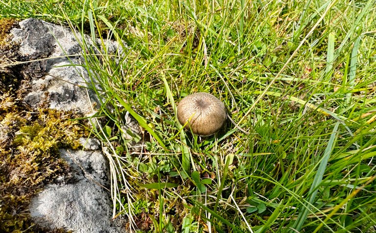
Suddenly I notice and show you:
Look a #mushroom 🍄 all the way up here 😊

What a cutie ☺️
We see the first cairn.
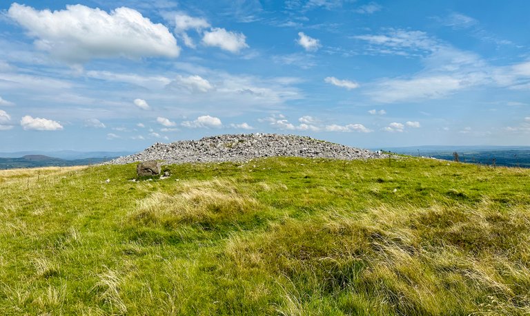
And when we reach it, I see this on the ground.
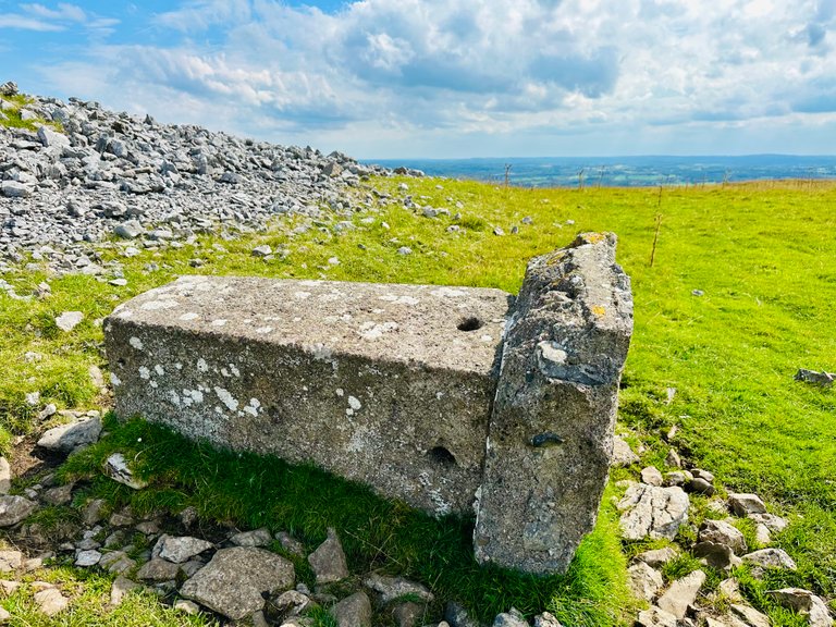
Peeking at the top… the stones are spread all over…
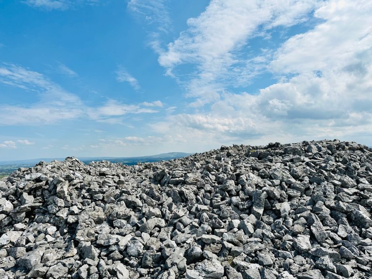
Walking to the next cairn I look back at the first one we saw… you see its form better now. I had to take the photo against the brightest light. But luckily it turned out well 😎

View towards the car… we see no cars hahaha 🤣 as we are high up here. 270 meters above sea level.
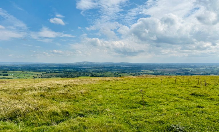
View towards the north… let’s continue our walk.

The other cairn and the #backdrop 😎… just wow!

Look at the views on this side 🤩
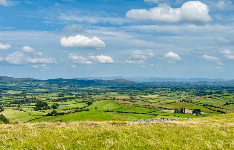
So beautiful! Look at all the greens 💚💚💚💚

I capture a few photos as it is so beautiful. The rolling hills… the lines of the fields, the mountains in the distance, the fluffy #clouds ☁️… all of it.
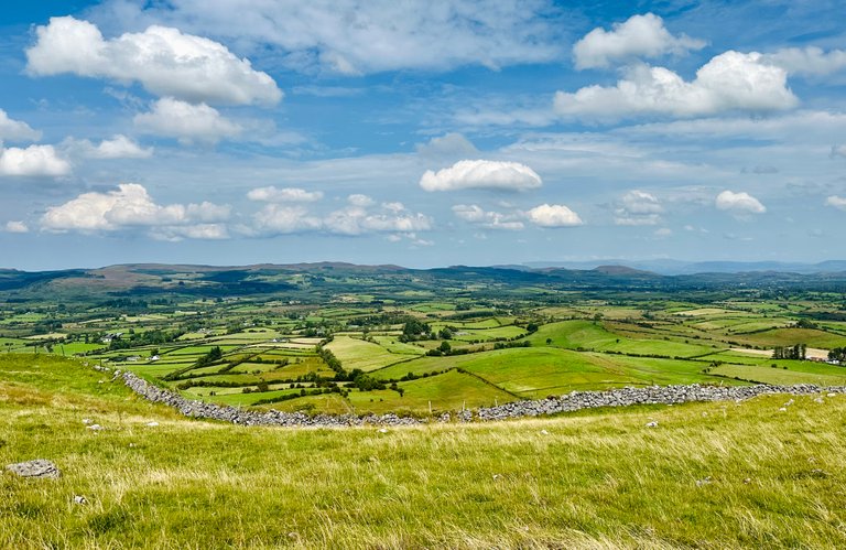
Let’s take it all in… breathhhhhhh ☺️
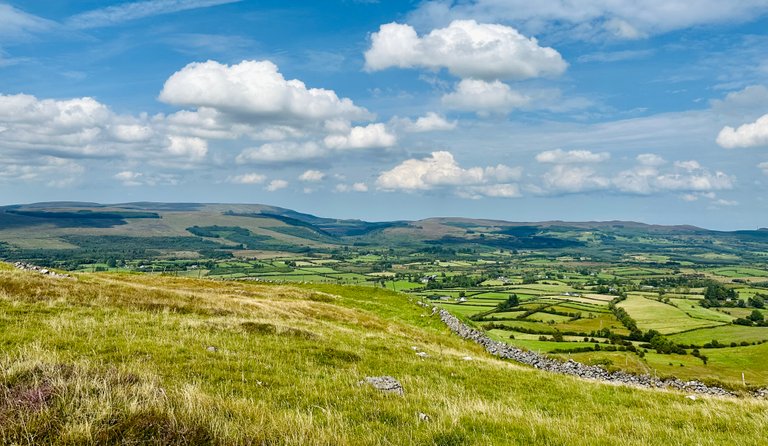
Let’s recharge!
.
.
.
On our way back towards the trail, some sheep gathered there 🐑🐑🐑🐑
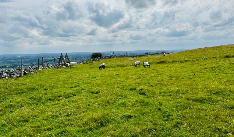
Bye bye 👋🏻👋🏻👋🏻👋🏻
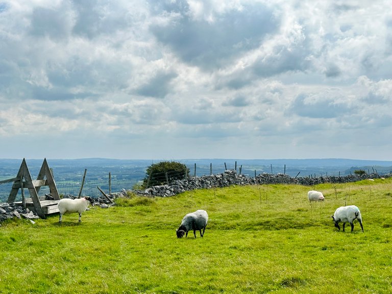
Let me tell you… going down is much easier… but we have to be careful. It is loose gravel and the steps are high and the path down is steep. So position your feet well 🥾🥾🥾🥾
At the stop where we rested before… we see…
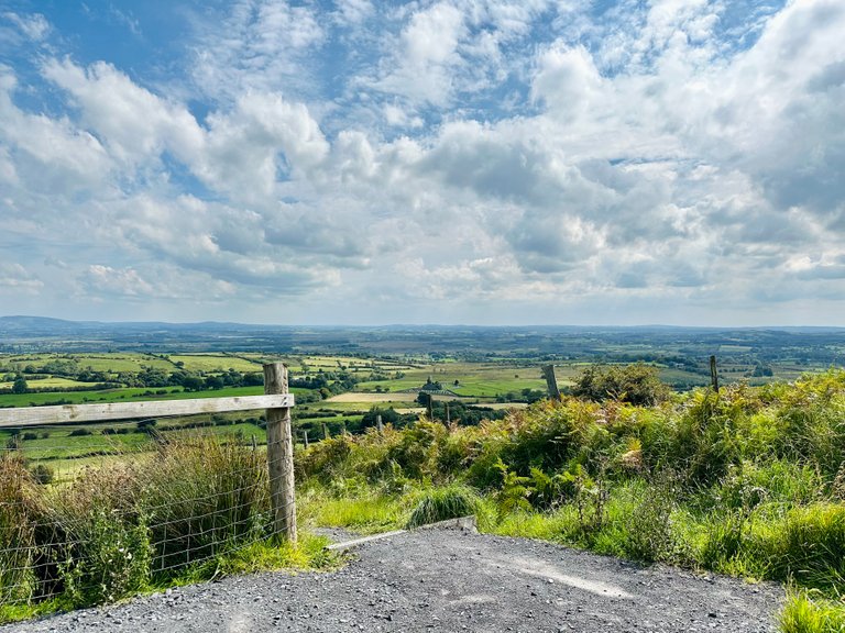
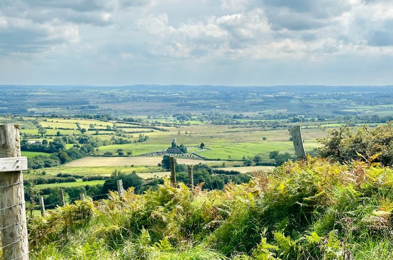
The church in the distance.
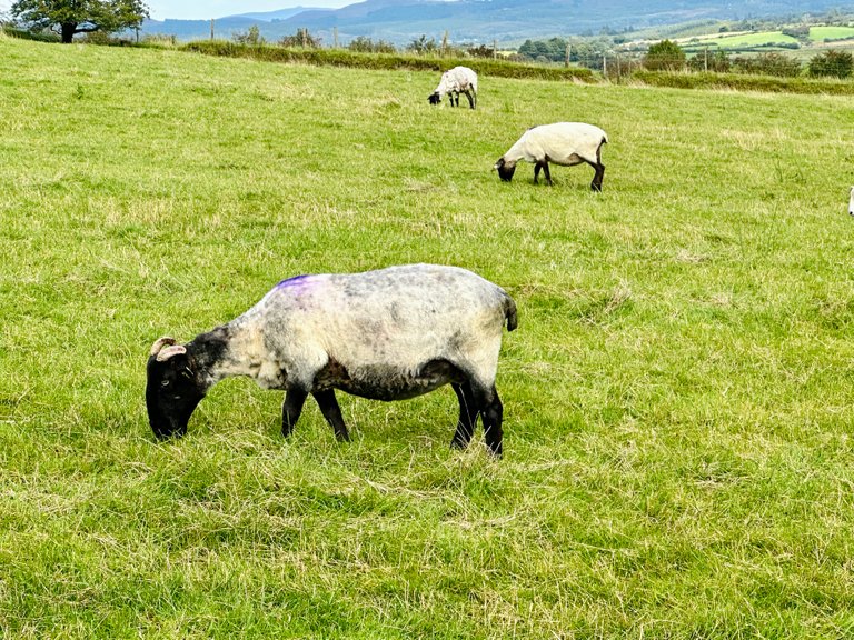
Almost down again we pass by more sheep, this time they are closer to the fence.
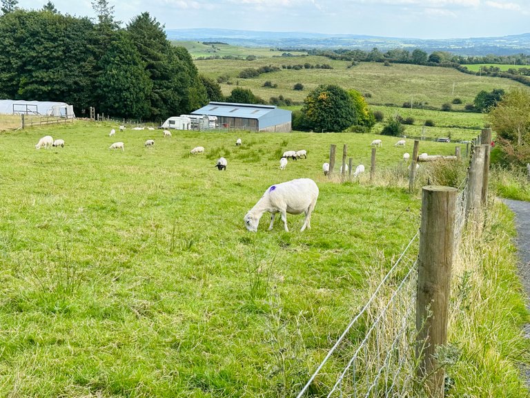
One looks up 🐑

The others don’t… 😉
When we reach the car… we look one more time up towards the hill of the fairies 🧚🏻♀️
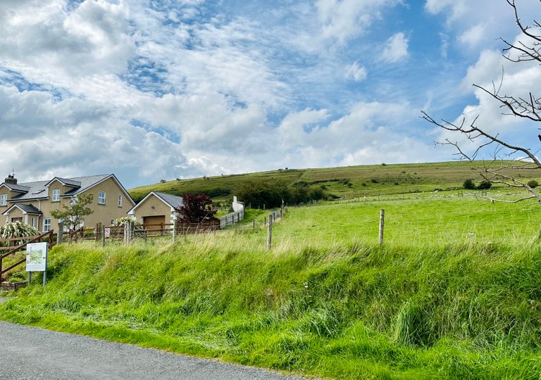
You are special… for sure. The views… just #AMAZING
…and here I say that’s all for today’s post my friends.
Join me next time for more #updates, #adventures, #stories and #photographs 😎👋🏻
Even my own #artworks, once in a while, will come by” 🎨
Thank you so much for looking, and reading.

#ecency banner by @irisworld
Any questions or comments, let me know. Always happy to help.
Have a great Wednesday all 😎
Grtz Jackie

The divider by SilverFish / mondoshawan
Unless stated otherwise: All art and photos used in my posts are taken, created and owned by me. If you wish to use any of my photographs, please contact me first. As I have used some commercially myself. We don’t want that you or somebody else gets into trouble 😉 So please don’t use them without my consent.
🖼 My PRINTSHOP: for the purchase of all kind of prints in many sizes from my Artworks 🎨 and Photography 📸 Which come on different objects too. Have a look in My Prints Shop!
If you want to see where I traveled to and what I already shared in @pinmapple, have a look at my personal map here: Littlebee4 PINMAPPLE MAP
#ecency image by @brittandjosie
!pinmapple 54.11824 lat -8.67969 long “HILL OF THE FAIRIES 🧚🏻♀️ ~ KNOCKNASHEE” in County SLIGO - Ireland 🇮🇪 ~ Wednesday Walk d3scr


