Here is a series of photos I've taken over the years while traveling and recreating in the Columbia River Gorge. I've order these starting at the west end and traveling east for the some 80 mile length of the gorge. The Columbia River serves as the border between the states of Oregon and Washington for the entire length of the gorge as it cuts through the Cascade Mountain Range. The photos will be taken from both states as we move east. They will show some of the dramatic change in scenery and climate between the rainforests of the west and the dry grasslands of the east. Follow along and enjoy the scenery of the Columbia River Gorge!
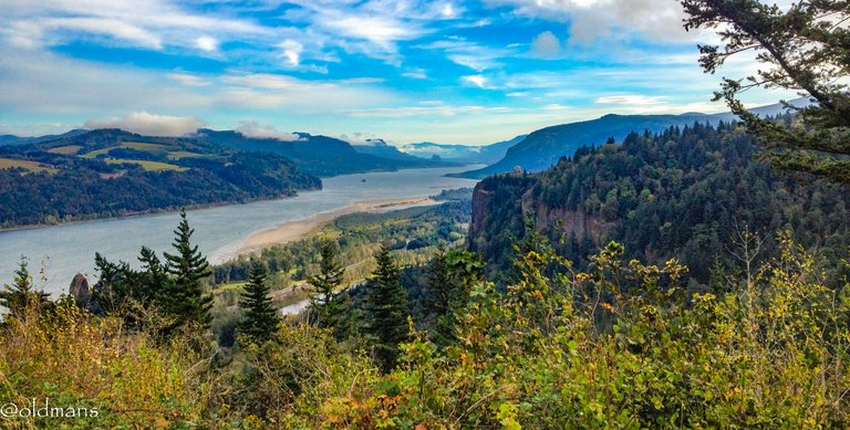 Chanticleer Point Lookout in Oregon. Crown Point - Vista House is in the foregound (middle right). With Beacon Rock sticking up by the river in the distance.
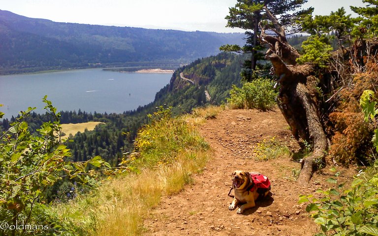 My old hiking partner Dixie as we take a rest on the Cape Horn trail in Washington. RIP Dixie my old friend. 😘
 View looking west from the top of Wind Mt in Washington. This was a spirit quest hike for native peoples that started some 200 - 1000 years ago. I can definitely see why!
 Drano Lake in the Fall. An old log flume use to run on the hill side. An episode of Lassie and a Disney short of a cougar riding a log in the flume was shot there back in the 60's.
 Looking west from the top of Mitchell Point in Oregon.
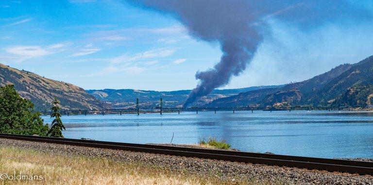 A near ecological disaster as an oil train derails in the Small Town of Mosier Oregon. The Hood River Bridge connecting Washington and Oregon can be seen in the foreground.
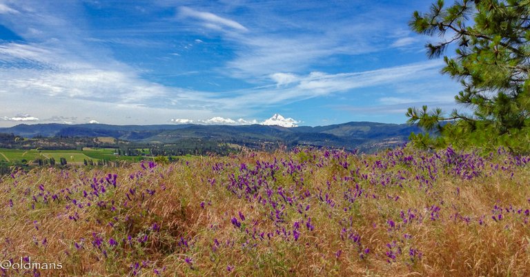 Spring hiking and wild flowers at Catherine Creek in Washington. Mt Hood can be seen across the Columbia River Gorge in Oregon.
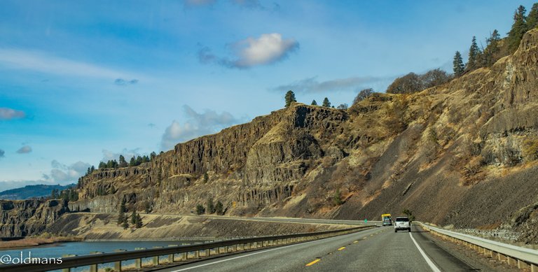 A view of some of the basalt cliffs while traveling west along HWY 14 in Washington.
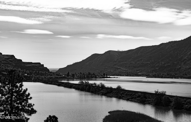 A B&W shot traveling east on Hwy 14 approaching the small town of Lyle, Washington.
 |  |
|---|
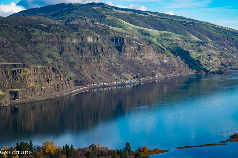
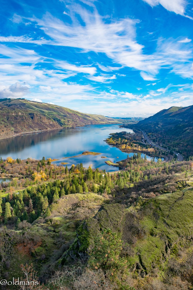
The view looking east from Rowena Crest Viewpoint in Oregon across the river from Lyle.
 Mt Hood and a westward view on HWY 14 above the small rail town of Wishram, Washington.
 The last view today is from Maryhill Winery in Washington. A few miles further up river is the end of the Columbia River Gorge.
Please feel free to make comments or ask me any questions about this post.
Photos taken by me, @oldmans
Please visit WorldMapPin to see the locations of some of my other posts and check out https://inleo.io/profile/oldmans for more of my photographic work.
If you are interested in microblogging make sure to follow this link https://inleo.io/signup?referral=oldmans to sign up on Inleo.
Thanks for looking and enjoy your day!
Posted Using InLeo Alpha


