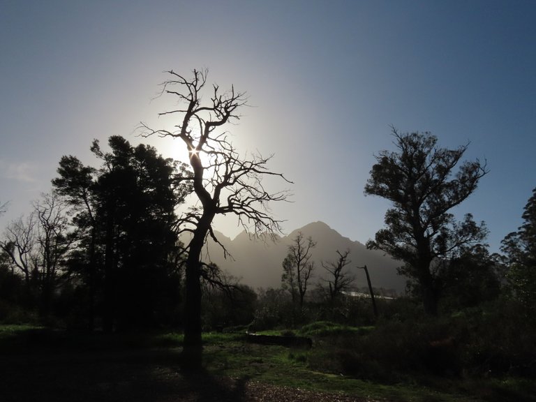
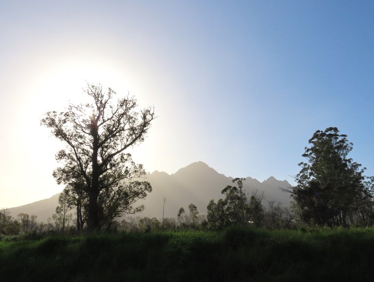
This was the night before the storm landed in Cape Town, Western Cape, South Africa.
We are booked on some Orange Level 6 weather warnings (floods, waves) and Orange Level 8 (interior winds) for the new week, which started yesterday, until Friday.
The previous lighter storm this past week, on Wednesday, has already removed some house roofs, and then we received the warnings that a series of severe cold fronts was going to land on Sunday (yesterday). The bad news is that the first one started with wind speeds of 80-90Kph. The weather forecast showed a temperature drop to 12C here and some subzero temperatures further inland. All of the emergency rescue squads are on high alert, and yes, it's going to be a tough weak.
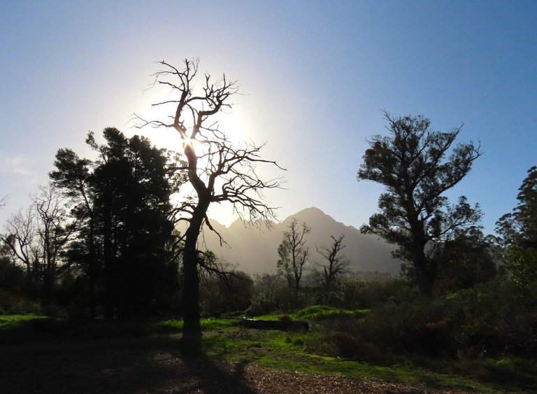
I took some random photos, to show you what things looked like the night prior to storms arrival.
Some unnatural sights, as the sun was up in the late afternoon, but the land was tinged with dark colors.
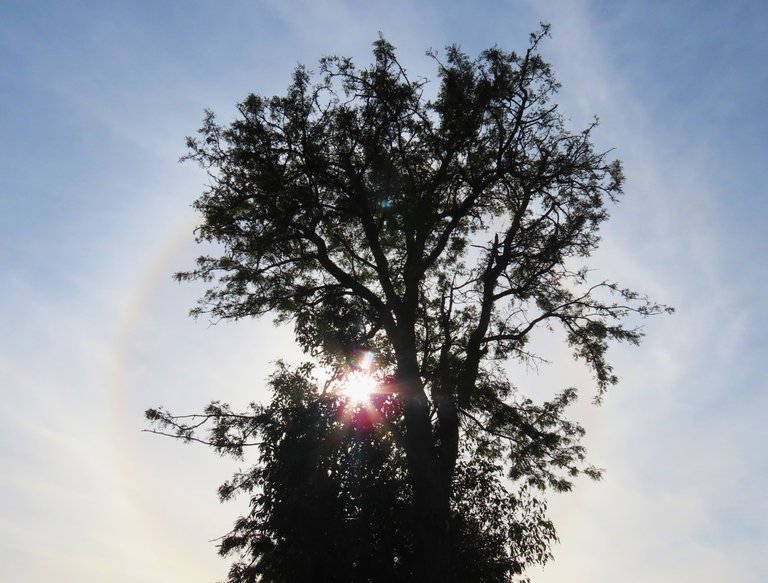
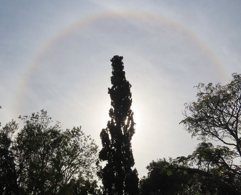
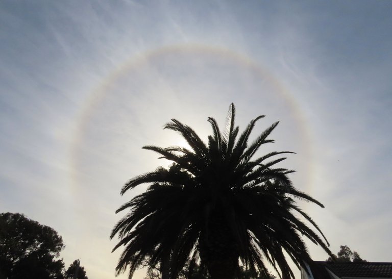
This photo below was a message to me that a sun halo would appear.
And ever so slowly the halo started to appear, up in the cold sky, bringing the message of impending rain.
And here at sunset, the cloud colors started to come in.
The photos below had streams of clouds appearing ahead of the dark clouds that were to follow.
We were watching a rugby test match between the South African, Springbok World Champion team, and the number 2 team in the rankings, which was Ireland. They are here for two test matches, and the Springboks won the first match that we watched. We don't have a TV and visited a Bossa restaurant, as they have many TV screens. I parked the car outside and a few times I popped out to check on the car. That's when I saw the colored sunset clouds streaming in.
Should you want to see more about the impending storm, the please go the source link below.
Brace yourself Cape Town! Winds of 70 - 90 km/h expected.
The South African Weather Service (Saws) has adjusted the Level 6 weather warning for damaging winds in Cape Town on Sunday to Level 8.
The announcement was made on Saturday by the City of Cape Town’s Disaster Risk Management spokesperson, Charlotte Powell.
The forecast is for gale to strong gale force westerly and north-westerly winds, reaching speeds of between 70 and 90 km/h, with gusts exceeding 100 km/h at times. This could result in widespread structural damage like roofs being blown off, uprooted trees and downed power lines.
I will continue to give you news on the storms and what we are all experiencing here, but I first wanted to show you the calm and quiet before the storms. The mountains were clear, so we knew we had a couple days grace. We enjoyed sunshine and some warmth on Friday and Saturday, but the Saturday sun halo was a harbinger, warning us to brace for the very strong winds and flooding on its way. We pray for others who have lost lives and possessions during these times - here - and throughout the world with all the tragedies that humans must face. May we remember what and Who is most important in this life, otherwise one day it will be too late, and we will have no more time to change.
I hope you have enjoyed the pictures and the story.
Photos by Zac Smith-All Rights Reserved.
Camera: Canon PowershotSX70HS Bridge camera.
Thank you kindly for supporting this post.
