Murinsky brook is a very important object for urban toponymy. This small waterway with a prevailing depth of up to one metre became the boundary dividing the urban district of Grazhdanka into two parts, south and north, which received the folk names ‘FRG’ and ‘GDR’. The humour of these acronyms is lost in translation, but I'll translate nonetheless. FRG stands for ‘Grazhdanka Fashionable Neighbourhood’ and GDR stands for ‘Grazhdanka Further Brook’.
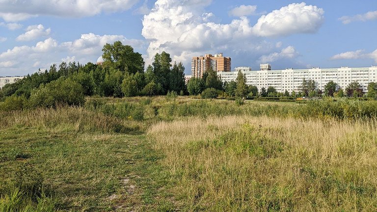
Active residential development of the southern part of this district began in the 1960s, and the northern part in the 1970s. Nowadays the southern and northern parts of the neighbourhood do not differ much from each other - it is a typical development with similar buildings, convenient infrastructure, metro... Except that the northern district is still located north of the brook, and the southern district - south, and in the middle is still located Murinsky Park. The whole neighbourhood together is one of the northern districts of the city. I visit this neighbourhood very rarely, so I decided to go and walk around the park to broaden my horizons and have new experiences.
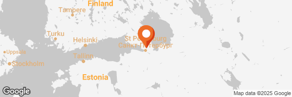
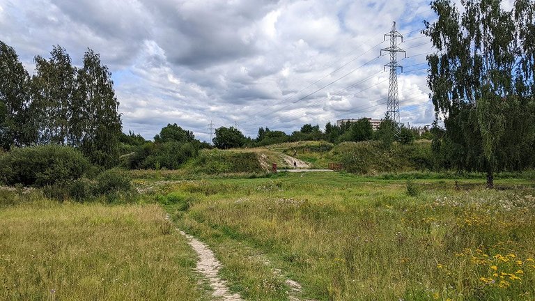
The area was an ordinary rural area before the beginning of the typical development. The village of Murino was located on the bank of the brook. Remains of the foundations of wooden houses could be found on the bank of the brook, in Murino Park, until a few years ago. The park itself remained unimproved for a long time, the area along the brook was simply preserved in its original form and condition. The park is a long strip along the Murinsky Brook, the width of this strip is less than 400 metres, but its length is more than 4 kilometres.
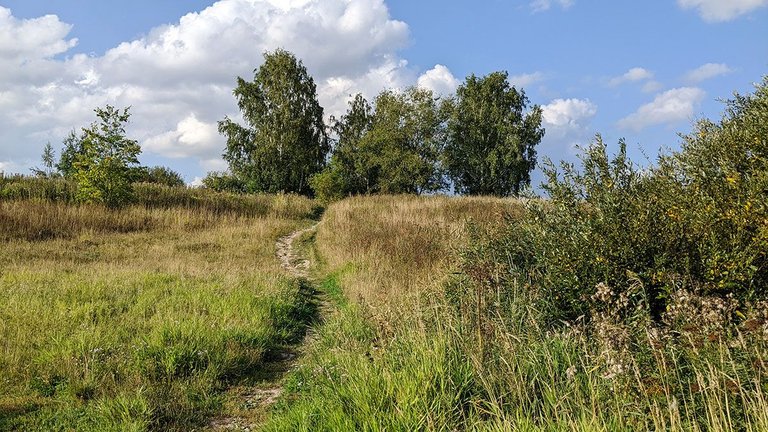
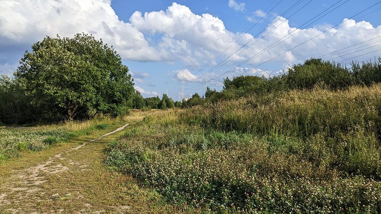
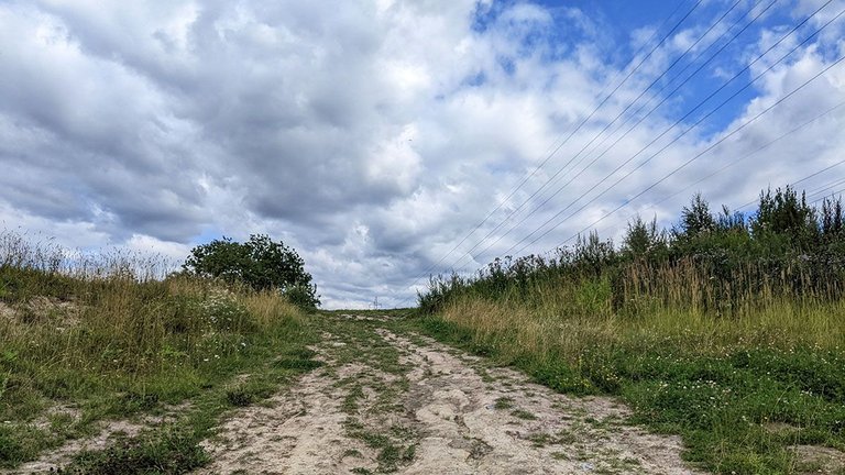
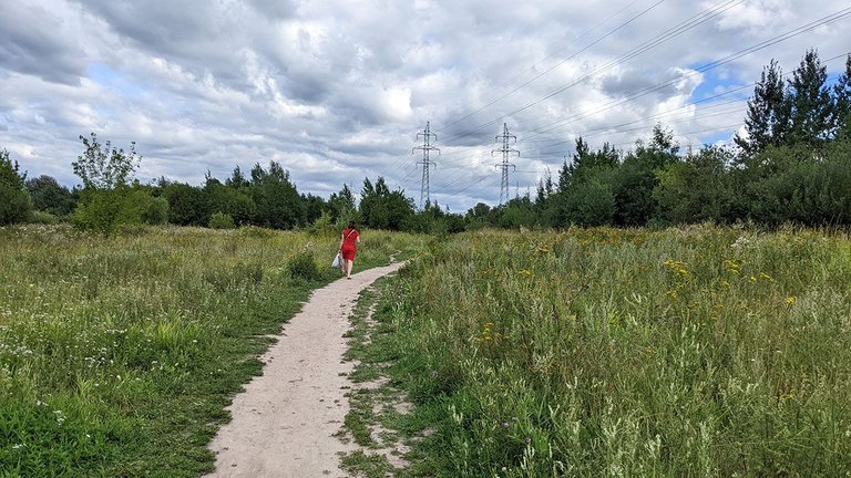
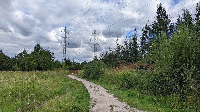
Works on the improvement of this area began in the 2000s. Now there are many neat paths in the park, illuminated in the evening and at night by LED lamps, benches are installed along the paths, there are children's playgrounds, a sculpture park, a long cross-country ski track. But the park covers a huge territory, and some parts of the park look the same as they did thirty years ago.
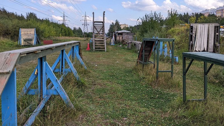
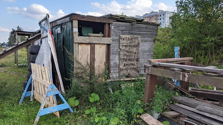
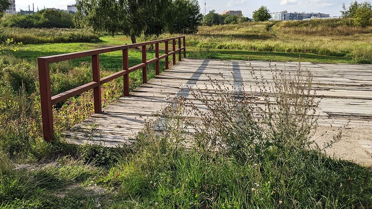
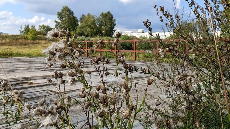
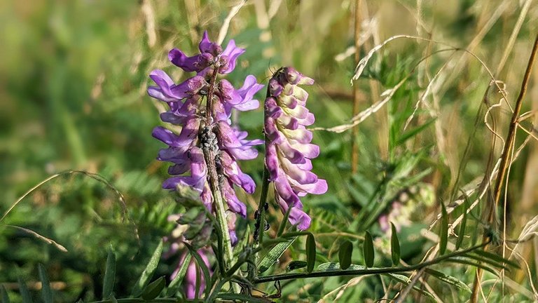
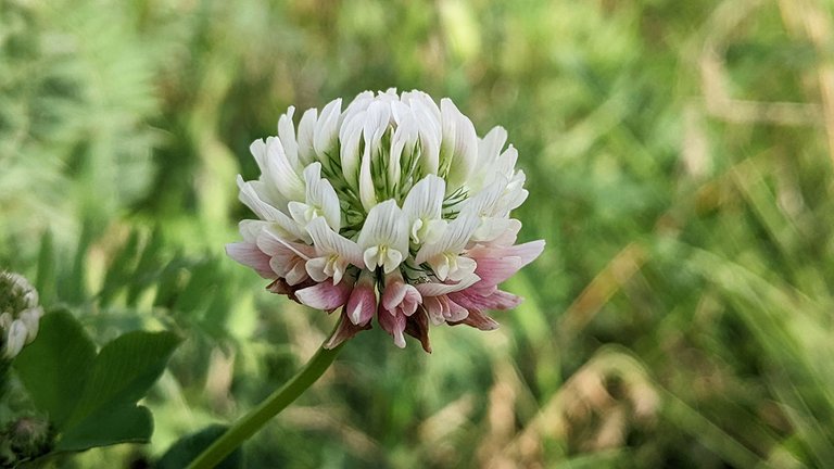
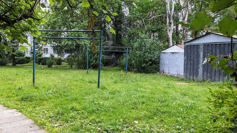
I took a walk through the park in one of these preserved conservation areas. A simple plank bridge crossed the stream. The dog training ground is built in a clearing, the blue paint of the sports equipment is faded and peeling, the coordinates of trainers are written in charcoal on the wall of a shed. Low trees, herbage, fragrant wildflowers. The path runs down to a bridge and then leads towards residential neighbourhoods. I decided to go into town for a while to buy an ice cream.
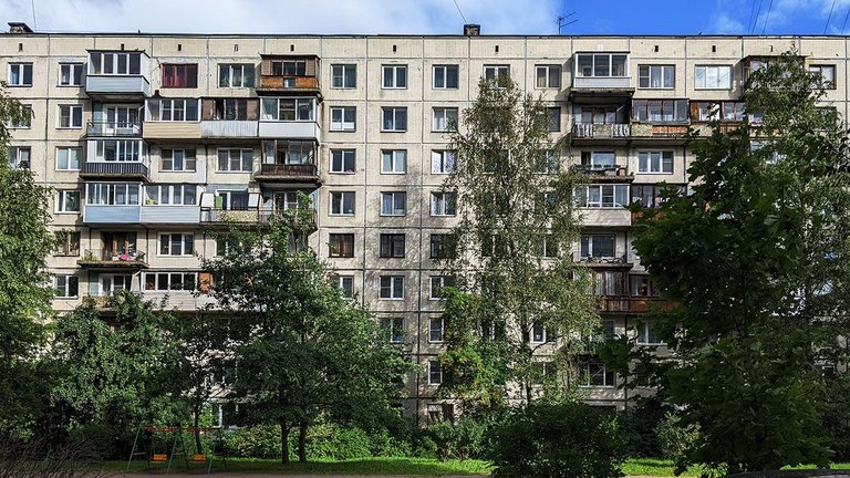
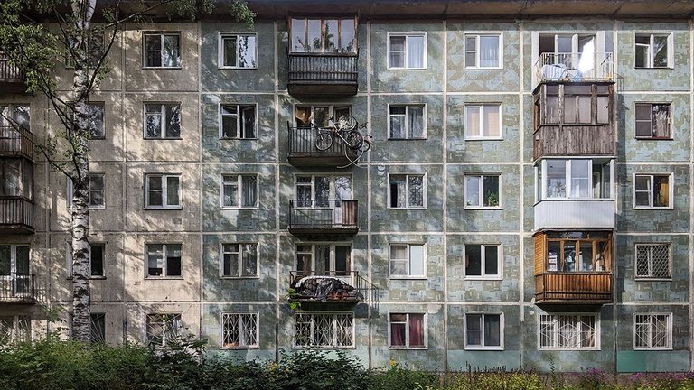
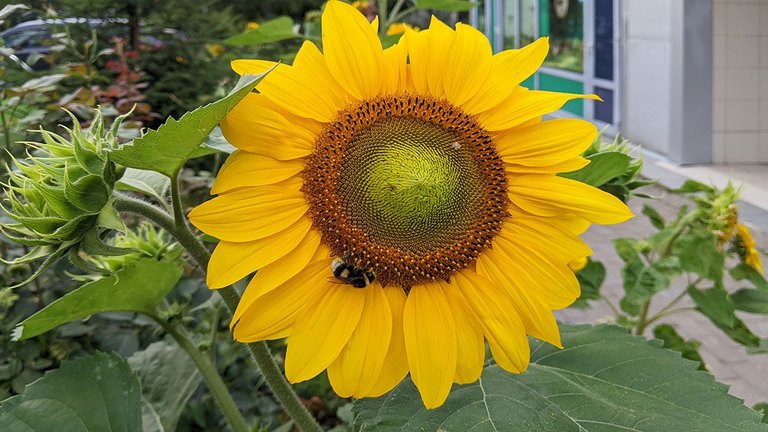
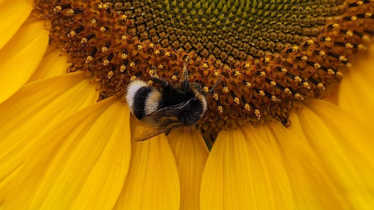
In the residential areas, you can find artefacts from the last century - like iron pipe stiles and garages in the courtyard. Sunflowers grew in the flowerbed outside the shop, and a hard-working bumblebee flew here in search of pollen. I took a few photos of the typical development and then went back to the park.
| ○ | ○ |
|---|---|
| Smartphone | Google Pixel 3a |
| Location | Saint Petersburg, Russia |