Landscape Photography Round 100 | Gran Canaria | ESP / ENG

in #hive-15334912 days ago

The rock on the left is the highest point on the island of Gran Canaria, it is called El Roque Nublo and is 2000m above sea level. In the background you can see El Teide on the neighbouring island of Tenerife, the highest mountain in Spain at 3700m and, as you can see in the picture, perfectly visible from a distance of just over 100km.

ESP

La roca a la izquierda es el punto más elevado de la isla de Gran Canaria, se llama El Roque Nublo y está a 2000 mts sobre el nivel del mar. Al fondo se puede ver El Teide en la vecina isla de Tenerife, la montaña más alta del estado español con 3700 mts. y como se puede comprobar en la imagen, perfectamente visible a una distancia de poco más de 100km.
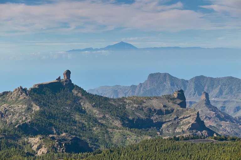

Gran Canaria 210.jpg


Unless stated otherwise, all the pictures and the words are mine.
Do not use this image without my written permission.
Proudly free of AI.
Thanks for stopping by and taking a look.


Camera 📷: Canon EOS 5 MkIII
Lens 🔭: Canon 70-200 f:2.8
Processed 🛠: with Capture One
Sort:  
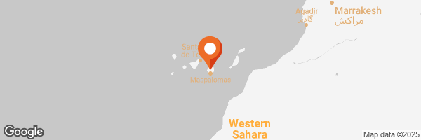
Congratulations, your post has been added to The WorldMapPin Map! 🎉


You can check out this post and your own profile on the map. Be part of the Worldmappin Community and join our Discord Channel to get in touch with other travelers, ask questions or just be updated on our latest features.

Congratulations, your post has been added to the TravelFeed Map! 🎉🥳🌴

Did you know you have your own profile map?
And every post has their own map too!

Want to have your post on the map too?

  • Go to TravelFeed Map
  • Click the create pin button
  • Drag the marker to where your post should be. Zoom in if needed or use the search bar (top right).
  • Copy and paste the generated code in your post (any Hive frontend)
  • Or login with Hive Keychain or Hivesigner and click "create post" to post to Hive directly from TravelFeed
  • Congrats, your post is now on the map!
PS: You can import your previous Pinmapple posts to the TravelFeed map.
map
Opt Out